Trail Overview
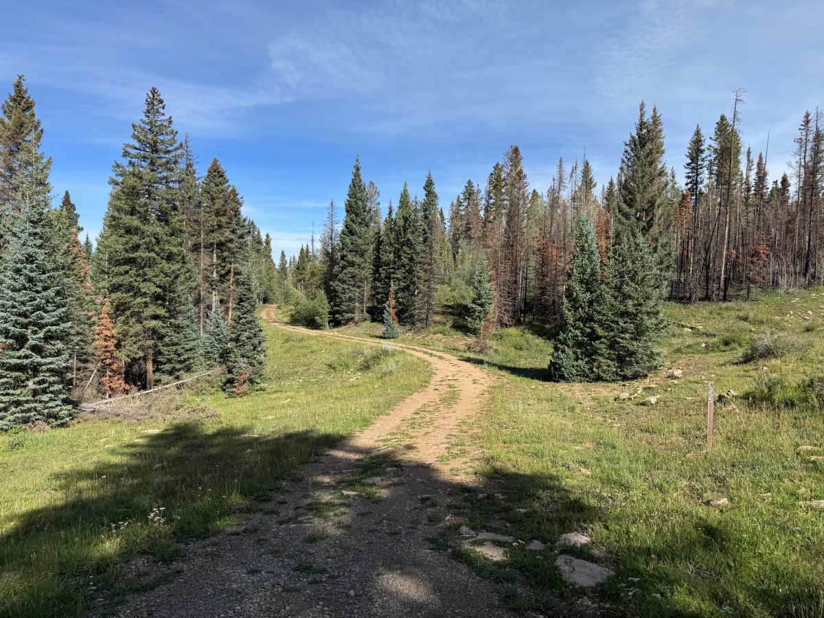
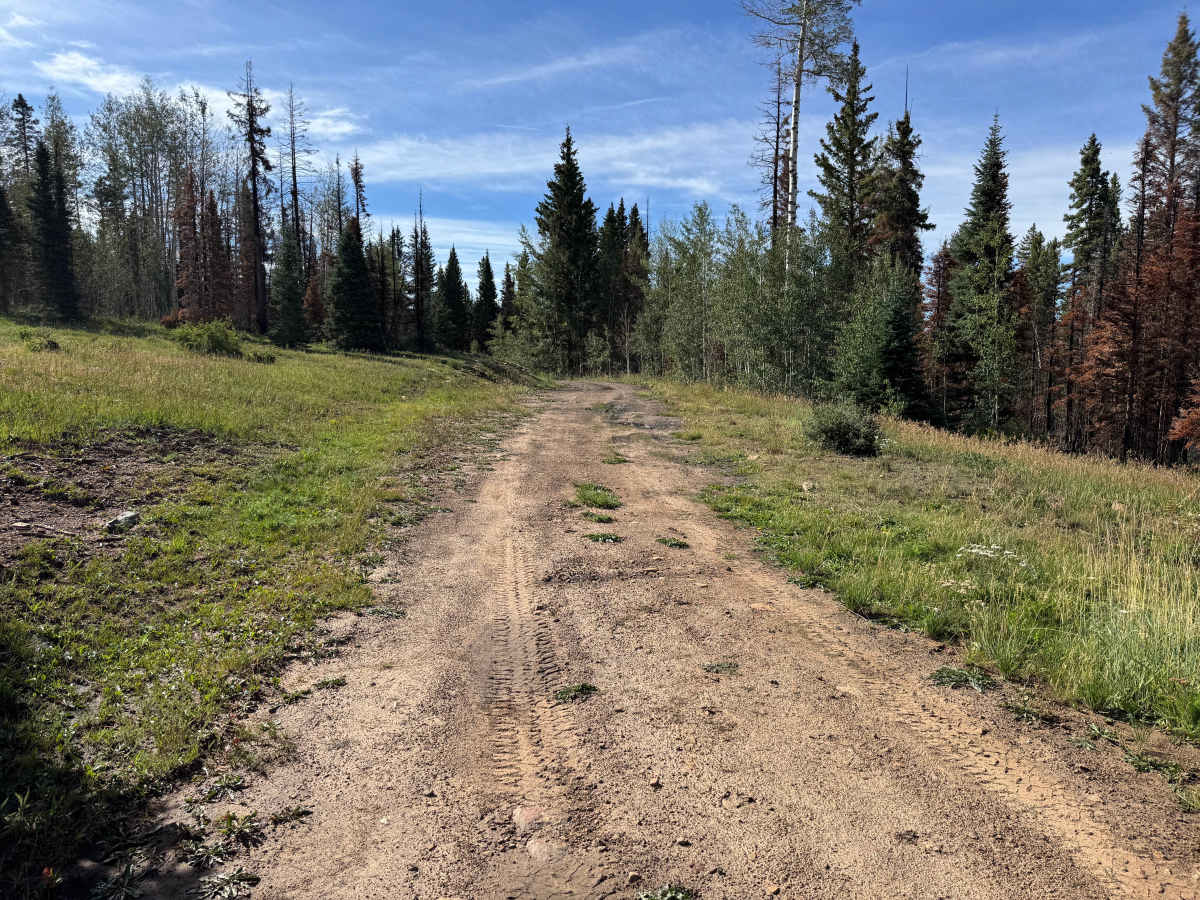
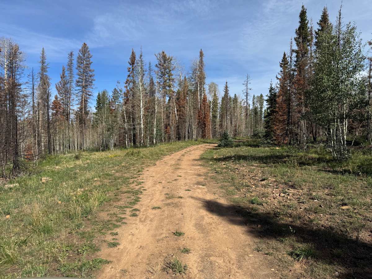
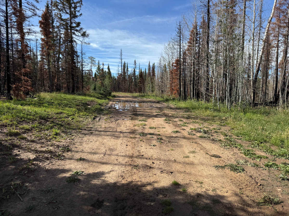
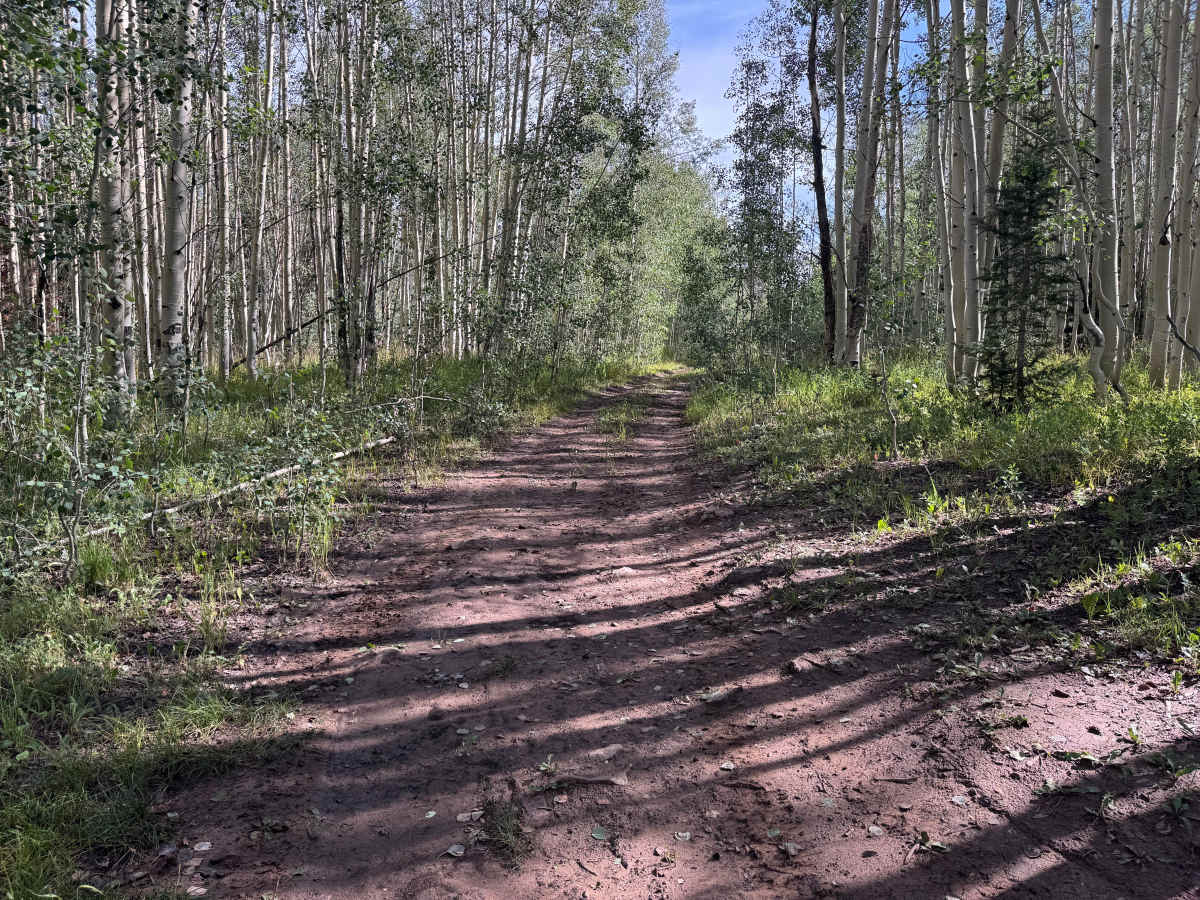
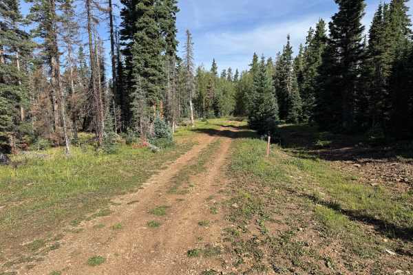
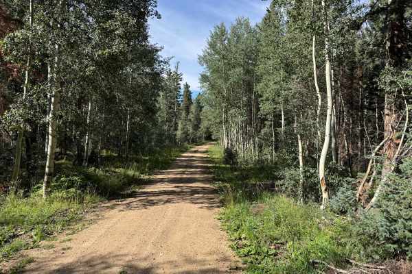
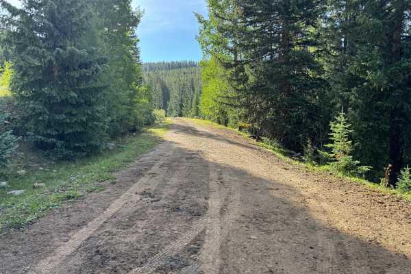
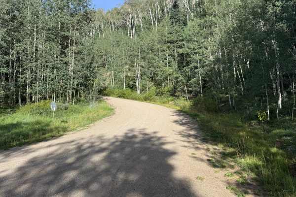
This out-and-back route leads through the forest to an established dispersed campsite. The trail surface varies between packed dirt and loose soil, with occasional scattered rocks and areas where grass has begun growing between the tire tracks. Aspen groves dominate several sections, while pine and fir are mixed throughout the surrounding forest. In places, the aspens and other vegetation grow close to the roadway, creating a narrower, more enclosed trail corridor. This is also one of the wetter routes in the area, with several low spots holding water and developing muddy or soggy conditions. Some of these areas may require 4WD, particularly following rain or snowmelt. The surrounding open-range country also provides the possibility of encountering cattle and wildlife along the route.
Difficulty
Mostly packed dirt with scattered rocks, shallow ruts, and several muddy or soggy sections. Wet conditions can increase difficulty and may require 4WD. Vegetation can also encroach on the trail in places, but there are no major technical obstacles.
History
The Taylor Creek and Taylor Mesa area has long served as an access corridor into the western San Juan Mountains. Roads across the mesa have supported ranching, livestock grazing, timber management, hunting and other uses of the surrounding National Forest. Taylor Creek Road remains one of the primary Forest Service access routes onto Taylor Mesa and connects with an extensive network of historic and modern backcountry roads. Below the mesa, the Dolores River valley was also an important transportation corridor. The Rio Grande Southern Railroad once followed portions of this valley between Dolores and Rico, and sections of today's CO-145 were later constructed over or alongside the former railroad grade.