Trail Overview
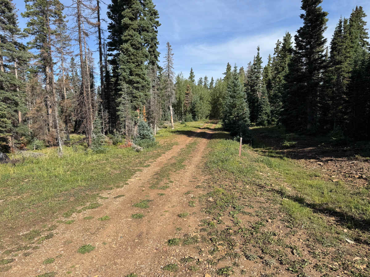
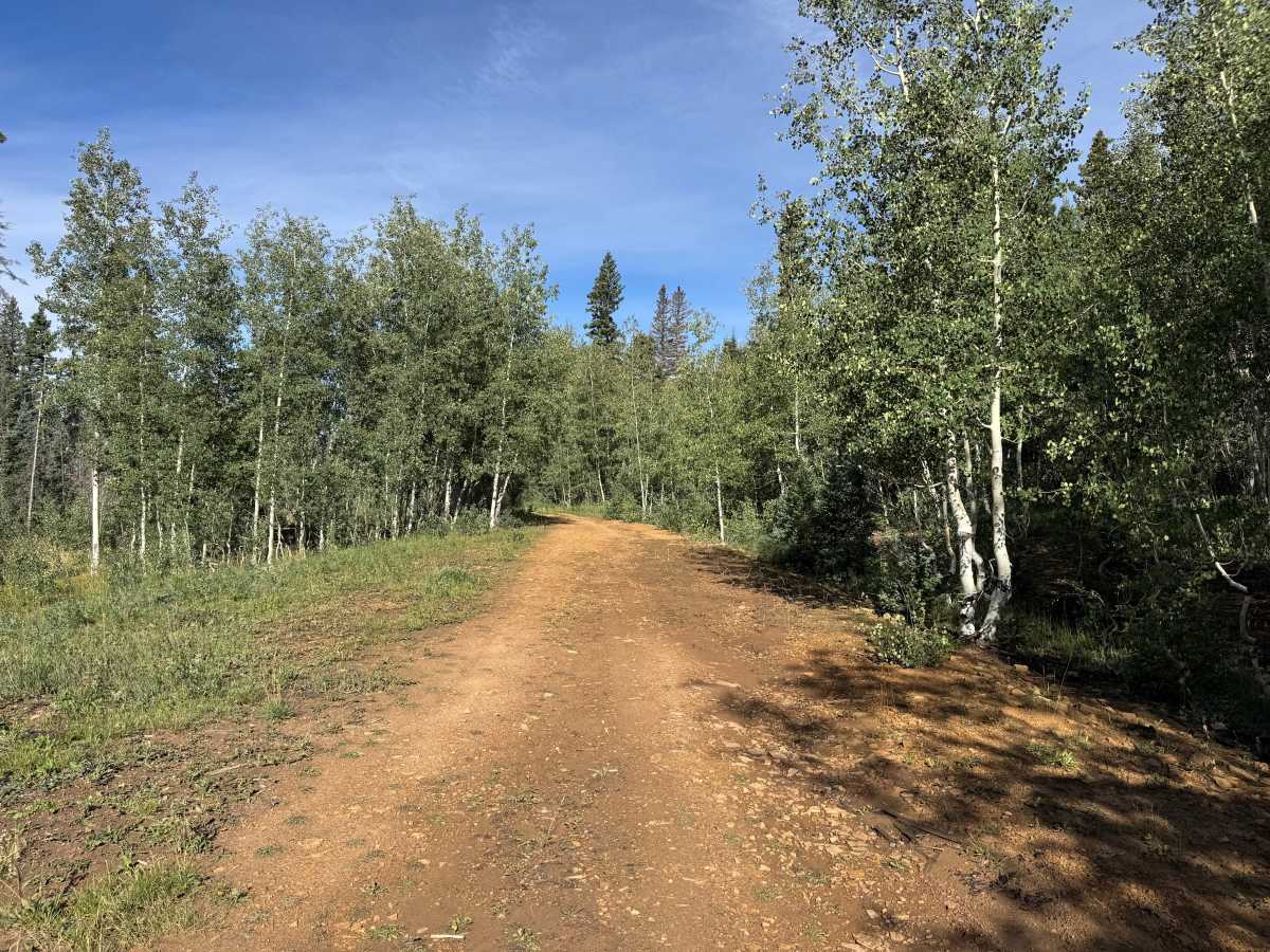
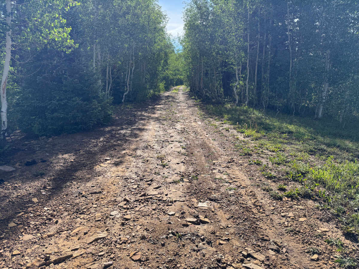
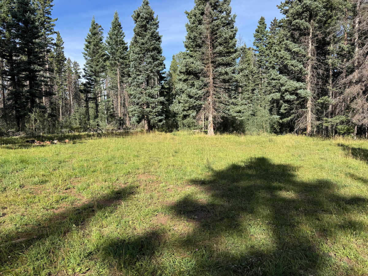
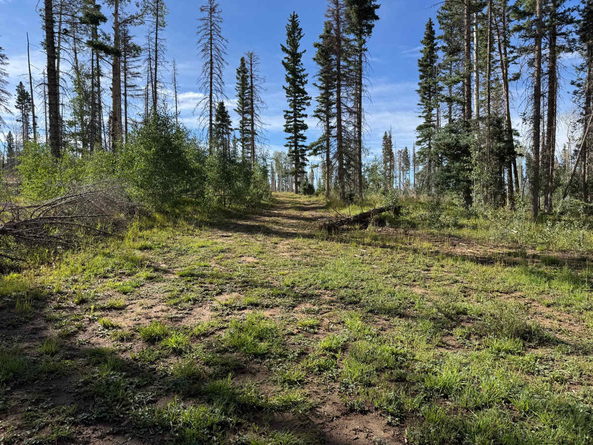
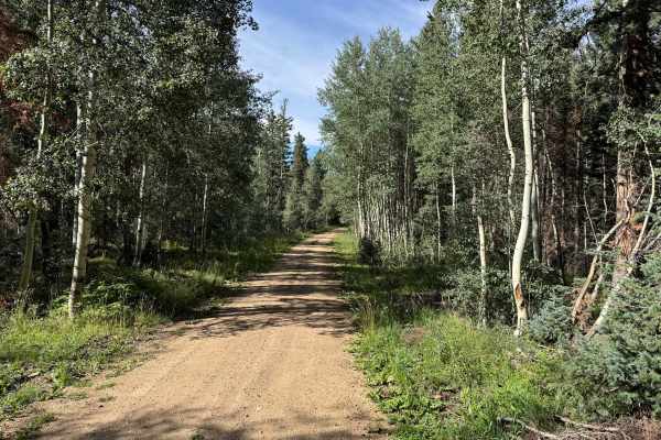
This out-and-back route travels along a lightly maintained dirt two-track through dense forest. The surface consists primarily of packed dirt with scattered loose and embedded rock, shallow ruts, and areas showing signs of natural erosion. Vegetation grows close to the trail in several sections, with thick stands of aspen, pine, and fir creating a much tighter corridor than many of the surrounding routes. Some portions pass through areas with dead and downed timber, and fallen trees may occasionally need to be driven over or navigated around. Small grassy openings break up the heavier forest along the way. The route eventually reaches a large grassy clearing surrounded by trees, providing plenty of room to turn around before returning the way you came.
Difficulty
Mostly packed dirt with scattered loose and embedded rocks, shallow ruts, and minor erosion. The route is less maintained and vegetation can be tight, with possible downed trees requiring careful navigation. There are no major technical obstacles, but a stock high-clearance 4x4 is recommended.
History
The Taylor Creek and Taylor Mesa area has long served as an access corridor into the western San Juan Mountains. Roads across the mesa have supported ranching, livestock grazing, timber management, hunting and other uses of the surrounding National Forest. Taylor Creek Road remains one of the primary Forest Service access routes onto Taylor Mesa and connects with an extensive network of historic and modern backcountry roads. Below the mesa, the Dolores River valley was also an important transportation corridor. The Rio Grande Southern Railroad once followed portions of this valley between Dolores and Rico, and sections of today's CO-145 were later constructed over or alongside the former railroad grade.