Trail Overview
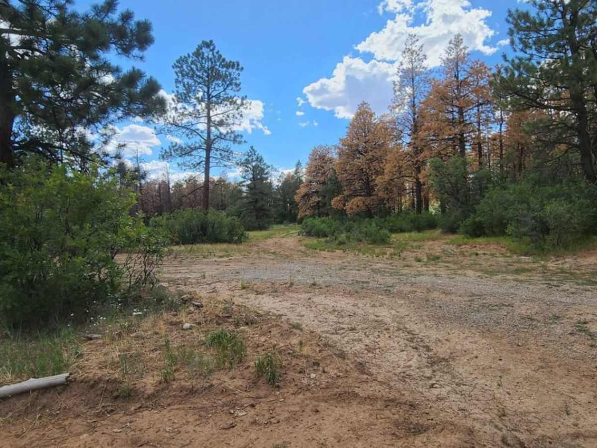
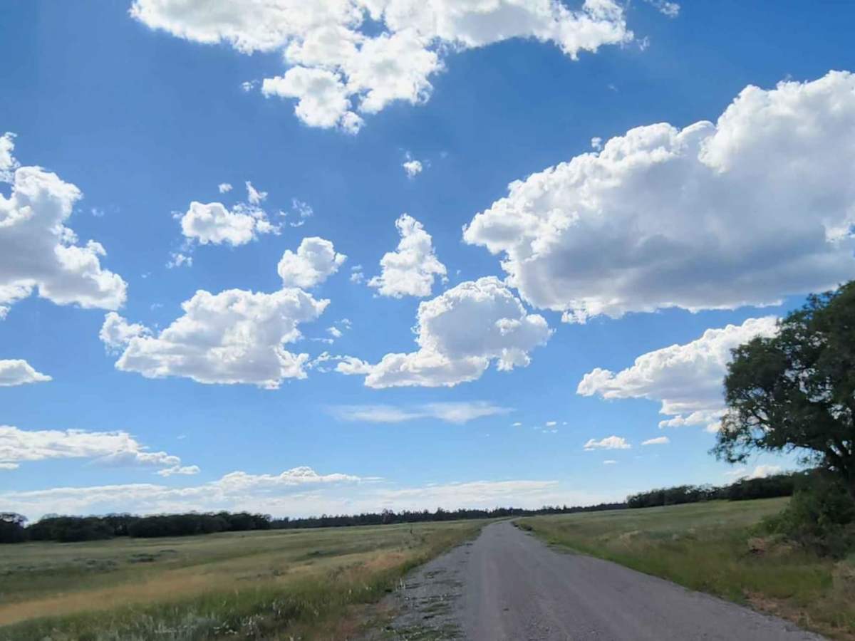
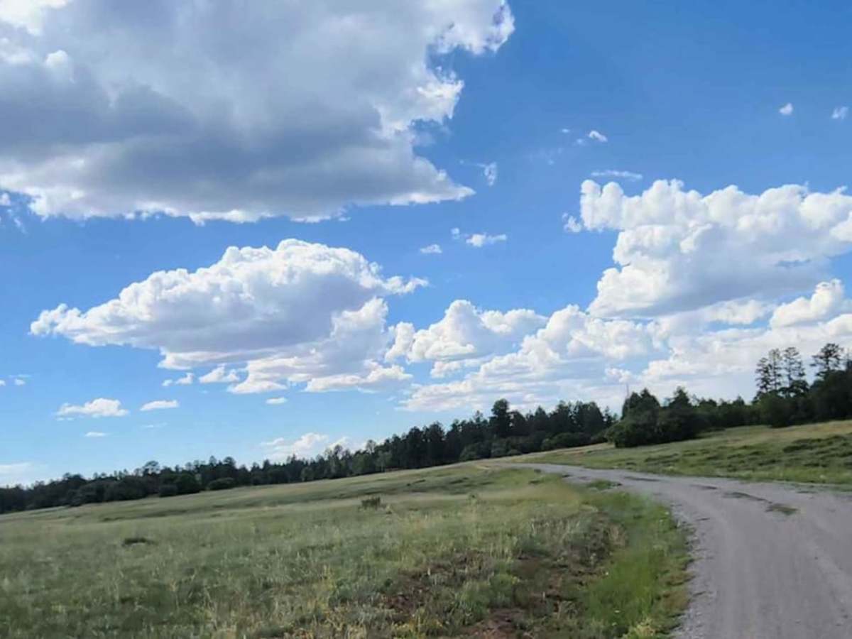
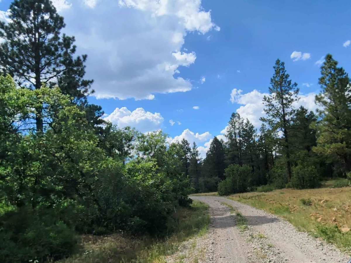
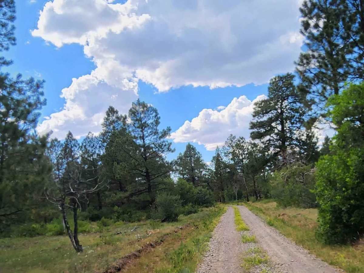
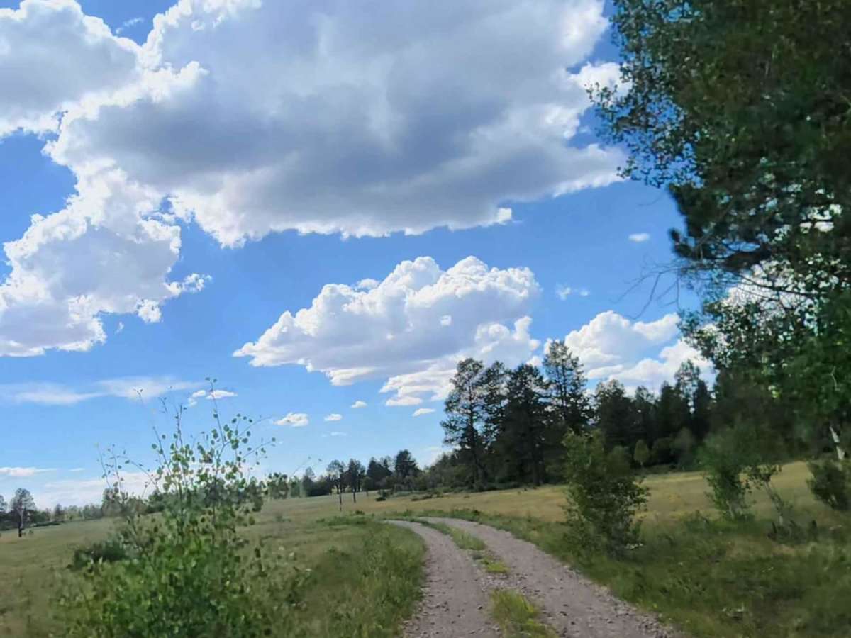
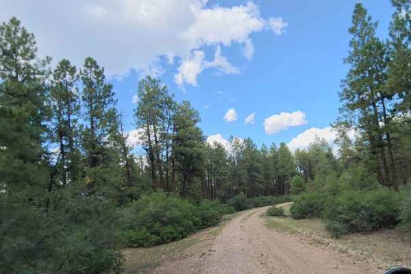
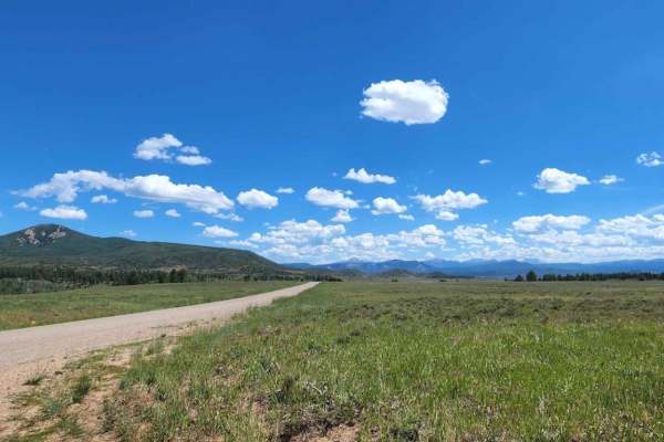
Flat Iron Road provides a scenic, unpaved driving experience through tall pine forests in the San Juan National Forest, making it perfect for beginners and those seeking a relaxed cruise with beautiful woodland scenery. Stretching approximately 5.2 miles, this double-track trail sits at a consistent elevation between 8,228 and 8,335 feet, featuring very gentle grades and a maximum elevation gain of just 132 feet. The route is primarily composed of dirt and rock, with a width that easily accommodates two passing vehicles. Most high-clearance two-wheel-drive and standard four-wheel-drive vehicles can traverse this trail without issue during dry conditions, though the surface can become slick and muddy when wet, and dusty during dry summer months.
Running between Forest Service Road 514 and other regional routes, this trail serves as a convenient connector for exploring the broader network of offroad trails near Dolores, Colorado. Visitors should remain alert for grazing cattle along the trail, as active livestock sharing the road is common in this area. Dispersed camping spots are scattered near the route, providing excellent opportunities to set up camp under the canopy of mature trees. The route is best enjoyed from late spring through autumn, depending on local snowmelt and seasonal forest closures, and offers a straightforward gateway to more remote backcountry adventures.
Access Description
The trail is managed by the US Forest Service within the San Juan National Forest. There are no fees or permits required to drive Flat Iron Road, though the road is subject to seasonal winter closures due to snow and muddy conditions. Visitors should check the Dolores Ranger District trail conditions before departing.