
Dirt Bike Trails
Near Cutter, Arizona
Explore All Dirt Bike Trails Near Cutter, Arizona
Dirt Bike Trails Near Cutter, Arizona
Discover the best dirt bike trails near you. Browse trail maps, check difficulty ratings, and find your next adventure — whether you're looking for a quick ride or an all-day expedition.
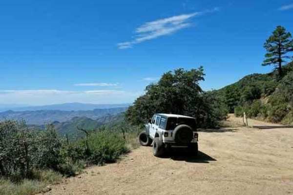
Pioneer Pass
Pioneer Pass starts near the center of Globe, circles the south side of Pinal Peak, and ends on Forest Service Road 651 leading to Pinal Peak. Climb to Pioneer Pass at 6,000' elevation, drop into Pioneer and Bobtail Basins at 5,000' then climb back up to 6,000' on the Pinal Peak Road. An enjoyable...
Learn more about Pioneer Pass
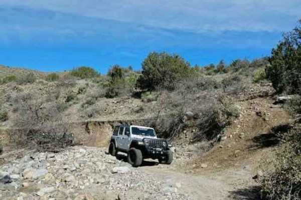
Richmond Basin
The Richmond Basin is a large area with a long history of mining for Zinc, Silver, Lead, and Gold. This Jeep trail will take you on a loop through the heart of the area. The eroded hill climbing up into the basin is usually the most difficult part of the trip and can change depending on erosion and ...
Learn more about Richmond Basin
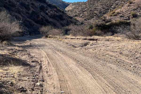
Gerald Wash
This trail is a 12-mile loop that can be done in either direction. There is plenty of challenging terrain and sweet views. You will pass through about a half dozen gates to open and close. Trail gets tight and narrow in some spots. Long wheel base trucks will be tuff for them at some of the washed o...
Learn more about Gerald Wash
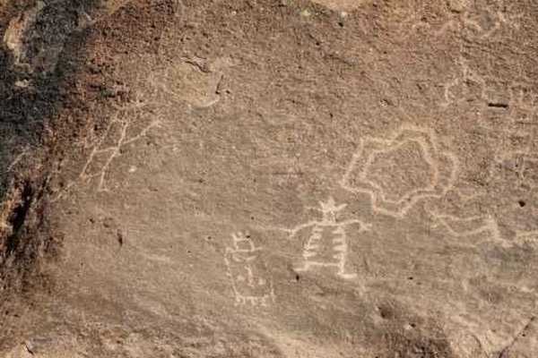
Birthing Place
Legend says this is where Indians went to give birth because there was year-round water and "tubs" that could be used for baths. We do not know if the legend is true, but do believe the site was important to the people of the time, even if just for water. There are many petroglyphs in the area.Ju...
Learn more about Birthing Place
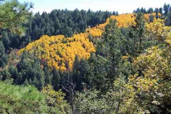
Pinto to Pinal
This Jeep trail is 50 miles, including the road up to and down from Pinal Peak and the one out to Madera Peak.This series of easy, scenic roads will take you from Pinto Mine Road on US 60 to the summit of Pinal Peak, out to Madera Peak for some nice overlooks then down into Globe. The very southwest...
Learn more about Pinto to Pinal
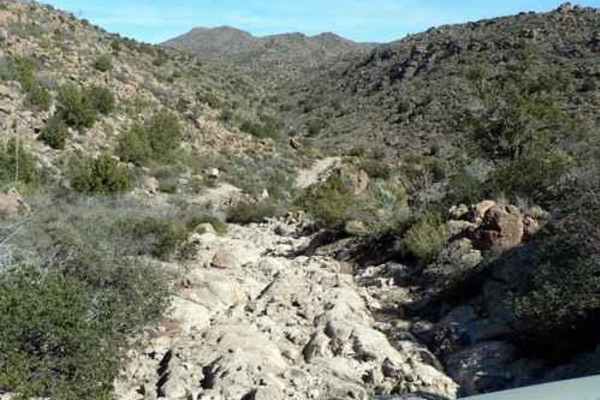
Devil's Canyon
Devil's Canyon is an exceptional trail for off-roaders seeking a remote, scenic adventure through rugged canyon country with rewarding vistas. This challenging 18.9-mile point-to-point route features significant elevation changes, with over 3,960 feet of cumulative elevation gain. Running from west ...
Learn more about Devil's Canyon
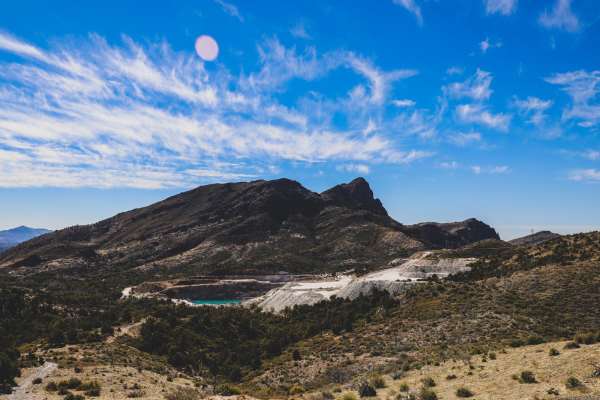
Queen Creek Canyon
This connects to Montana Mountain from US 60. Starting from the 60, the trail is a maintained dirt road leading up to a SRP substation. Once you reach the substation, you will turn onto FR 342, and from there the road becomes more extreme consisting of large rocks and steep inclines. A lifted 4x4 ve...
Learn more about Queen Creek Canyon
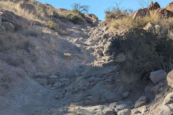
Hackberry Creek
This scenic trail links into the Lower Hackberry Trail, allowing for a nice but challenging loop accessible from Highway 60. Alternatively, you can take a different leg back if you've already ventured on the Lower Hackberry Trail, eliminating the trail from being an in-and-out route only. The area h...
Learn more about Hackberry Creek
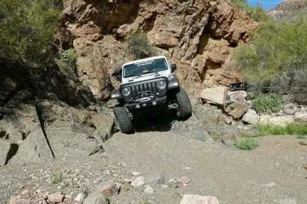
Grey Horse Mine
An easy, relaxing Jeep trail up the west side of the Dripping Spring Mountains near Kearny. Visit 3 shafts of an abandoned lead, vanadium and molybdenum mine, plus view a settling pond on top of of an overburden pile for the Ray Mine. Very short trail.The U.S. Vanadium Development Company of Phoeni...
Learn more about Grey Horse Mine
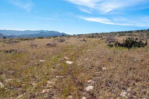
FS 3271A
This very old and overgrown track runs along the eastern side of the mesa, offering absolutely stunning views as it descends toward a fenced wildlife water catchment development. The trail travels through open grassy mesa terrain mixed with low desert vegetation, cacti, and scrub. Throughout the dri...
Learn more about FS 3271A
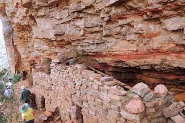
Coon Creek Ruins
The ancient Coon Creek Ruins cliff dwellings are not as large or as well preserved as many of the protected ruins throughout the West, but they are interesting, and they are available to be explored at any time.PLEASE be very careful not to cause any further damage to these delicate structures. This...
Learn more about Coon Creek Ruins
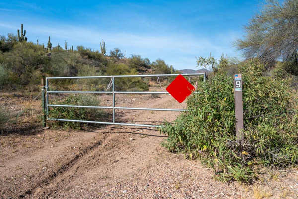
Braddock Creek - FS 9
This sandy and rocky trail winds its way down a wash, offering a fun and scenic alternative to Cherry Creek Road, which runs parallel nearby. The route is mostly easy to navigate, with some overgrown vegetation in places, but nothing too restrictive. It’s an enjoyable drive as the trail meanders thr...
Learn more about Braddock Creek - FS 9
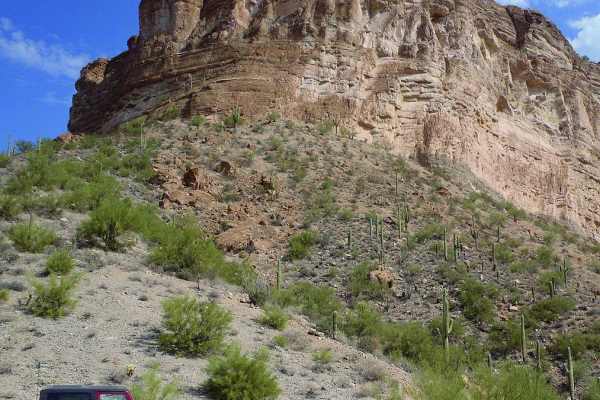
Walnut Canyon
Walnut Canyon is certainly one of the most scenic Jeep trails in the area. It skirts the edge of White Canyon Wilderness, and the canyons and mountains along the trail are spectacular. Much of the land approaching Walnut Canyon is owned by Asarco, owners of the Ray Mine, and other properties in Ari...
Learn more about Walnut Canyon
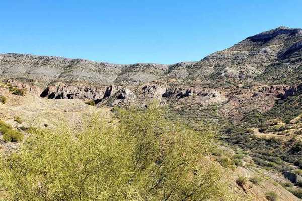
Chilito Mine
Chilito Mine is an approachable yet scenic out-and-back trail near Kearny, Arizona, perfect for beginner to intermediate offroaders who want to experience dramatic elevation climbs and historic mining ruins. Spanning approximately 5.2 miles, the route ascends from an elevation of 1,973 feet to a pea...
Learn more about Chilito Mine
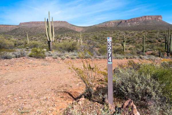
Braddock Creek - FS 3274
This trail drops quickly into a sandy wash where the driving is mostly easy and flat, surrounded by dense vegetation lining the canyon walls. After following the wash for a while, the route climbs out along the edge of the canyon, opening up to beautiful views of Black Mesa in the distance and sagua...
Learn more about Braddock Creek - FS 3274
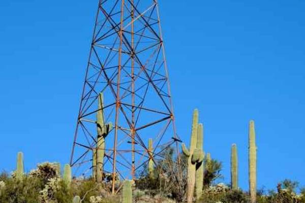
Treehouse Cabin
This Jeep trail takes you high into the Dripping Springs Mountains. Tour several mines and visit an old cabin built with a tree through the roof. Distant views of Hayden smelter and tailings piles. We do not know the history of the cabin, but it might have been associated with the New Year Mine bec...
Learn more about Treehouse Cabin
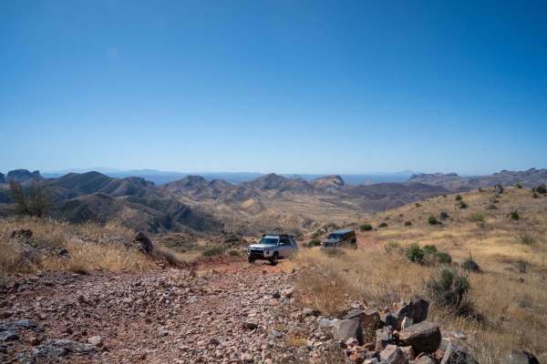
Lower Hackberry Trail
Located just east of Superior, Arizona, Lower Hackberry Trail offers a mix of desert landscapes, dry creek crossings, rock garden obstacles, and elevated views, providing off-roaders with an exciting and scenic journey. The trail starts in the Tonto National Forest and crosses through State Land Tru...
Learn more about Lower Hackberry Trail
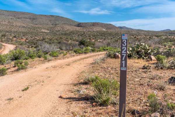
Black Mesa - FS 3271
This two-track branches off the very easy, graded Cherry Creek Road and winds its way up toward the top of Black Mesa. The route climbs almost the entire way. Early on, you drop into and out of a few easy washes with short, rocky climbs on the exits. As you gain elevation, the trail becomes smaller ...
Learn more about Black Mesa - FS 3271
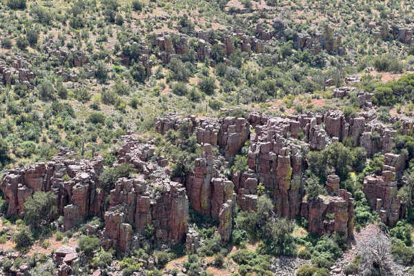
Cougar Canyon
You can access this trail by starting on MT 30 and turning onto FDR 38. You'll drive on a cliff and end at the creek with some major overgrowth. It appears there's a way out, but unfortunately, that is not the case. This is an out-and-back trail, but you can also start/end it with riding Coon Creek ...
Learn more about Cougar Canyon
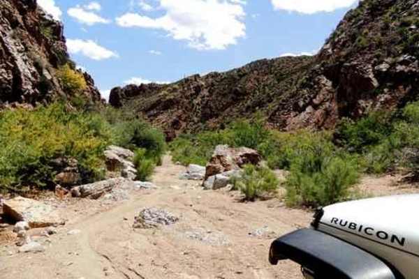
Ripsey PLUS
This GREAT TRIP is easy enough to run in either direction but will be described here beginning at the Ripsey Wash entrance. The west entrance is shorter if you are coming from that way. Ripsey Wash is a mostly sandy wash, beginning wide and then narrowing down to interesting canyons as you travel up...
Learn more about Ripsey PLUS
ATV trails near Cutter, Arizona
Explore ATV-friendly trails near you. These trails are accessible for vehicles up to 50 inches wide, perfect for ATVs and smaller off-road machines.
Pioneer Pass
Pioneer Pass starts near the center of Globe, circles the south side of Pinal Peak, and ends on Forest Service Road 651 leading to Pinal Peak. Climb to Pioneer Pass at 6,000' elevation, drop into Pioneer and Bobtail Basins at 5,000' then climb back up to 6,000' on the Pinal Peak Road. An enjoyable...
Learn more about Pioneer Pass
Richmond Basin
The Richmond Basin is a large area with a long history of mining for Zinc, Silver, Lead, and Gold. This Jeep trail will take you on a loop through the heart of the area. The eroded hill climbing up into the basin is usually the most difficult part of the trip and can change depending on erosion and ...
Learn more about Richmond Basin
Gerald Wash
This trail is a 12-mile loop that can be done in either direction. There is plenty of challenging terrain and sweet views. You will pass through about a half dozen gates to open and close. Trail gets tight and narrow in some spots. Long wheel base trucks will be tuff for them at some of the washed o...
Learn more about Gerald Wash
Birthing Place
Legend says this is where Indians went to give birth because there was year-round water and "tubs" that could be used for baths. We do not know if the legend is true, but do believe the site was important to the people of the time, even if just for water. There are many petroglyphs in the area.Ju...
Learn more about Birthing Place
UTV/side-by-side trails near Cutter, Arizona
Find UTV and side-by-side trails near you. These trails accommodate vehicles up to 60 inches wide, ideal for UTVs, side-by-sides, and wider off-road rigs.
Pioneer Pass
Pioneer Pass starts near the center of Globe, circles the south side of Pinal Peak, and ends on Forest Service Road 651 leading to Pinal Peak. Climb to Pioneer Pass at 6,000' elevation, drop into Pioneer and Bobtail Basins at 5,000' then climb back up to 6,000' on the Pinal Peak Road. An enjoyable...
Learn more about Pioneer Pass
Richmond Basin
The Richmond Basin is a large area with a long history of mining for Zinc, Silver, Lead, and Gold. This Jeep trail will take you on a loop through the heart of the area. The eroded hill climbing up into the basin is usually the most difficult part of the trip and can change depending on erosion and ...
Learn more about Richmond Basin
Gerald Wash
This trail is a 12-mile loop that can be done in either direction. There is plenty of challenging terrain and sweet views. You will pass through about a half dozen gates to open and close. Trail gets tight and narrow in some spots. Long wheel base trucks will be tuff for them at some of the washed o...
Learn more about Gerald Wash
Birthing Place
Legend says this is where Indians went to give birth because there was year-round water and "tubs" that could be used for baths. We do not know if the legend is true, but do believe the site was important to the people of the time, even if just for water. There are many petroglyphs in the area.Ju...
Learn more about Birthing Place
The onX Offroad Difference
onX Offroad combines trail photos, descriptions, difficulty ratings, width restrictions, seasonality, and more in a user-friendly interface. Available on all devices, with offline access and full compatibility with CarPlay and Android Auto. Discover what you're missing today!
Open Trail Map