Trail Overview
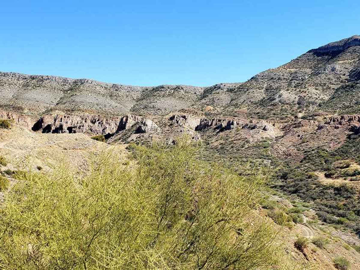
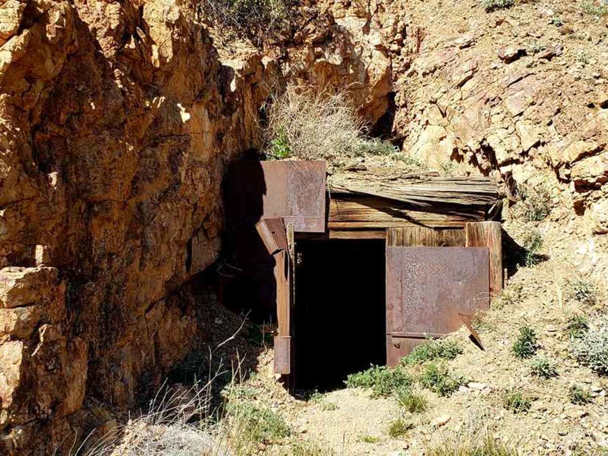
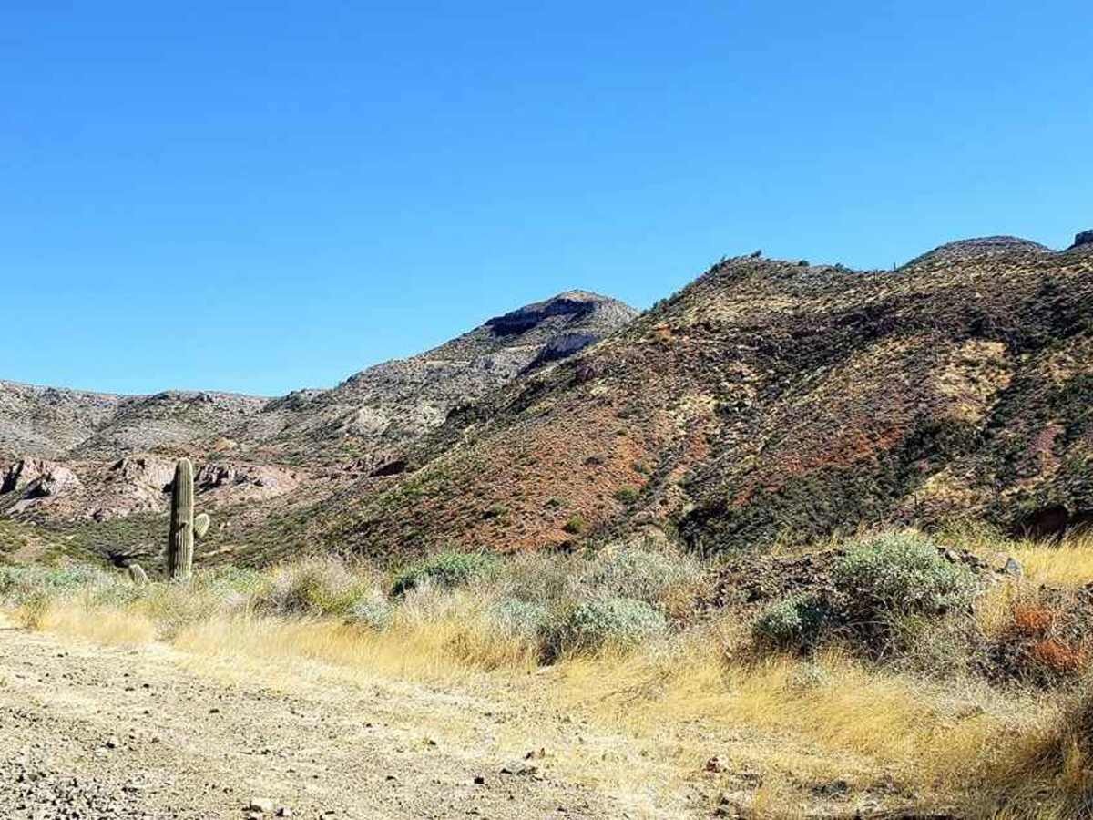
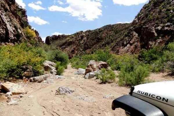
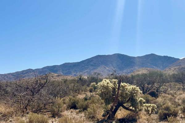
Chilito Mine is an approachable yet scenic out-and-back trail near Kearny, Arizona, perfect for beginner to intermediate offroaders who want to experience dramatic elevation climbs and historic mining ruins. Spanning approximately 5.2 miles, the route ascends from an elevation of 1,973 feet to a peak of 4,159 feet, gaining more than 2,180 feet of cumulative elevation along a primarily unpaved surface. High-clearance vehicles can easily navigate the journey up to the mine, with only a few rocky patches and minor ruts to negotiate along the way. As the track winds upward, it delivers sweeping, panoramic views of the Gila River Valley before arriving at the historic Chilito Mine area, where various old workings and structures remain.
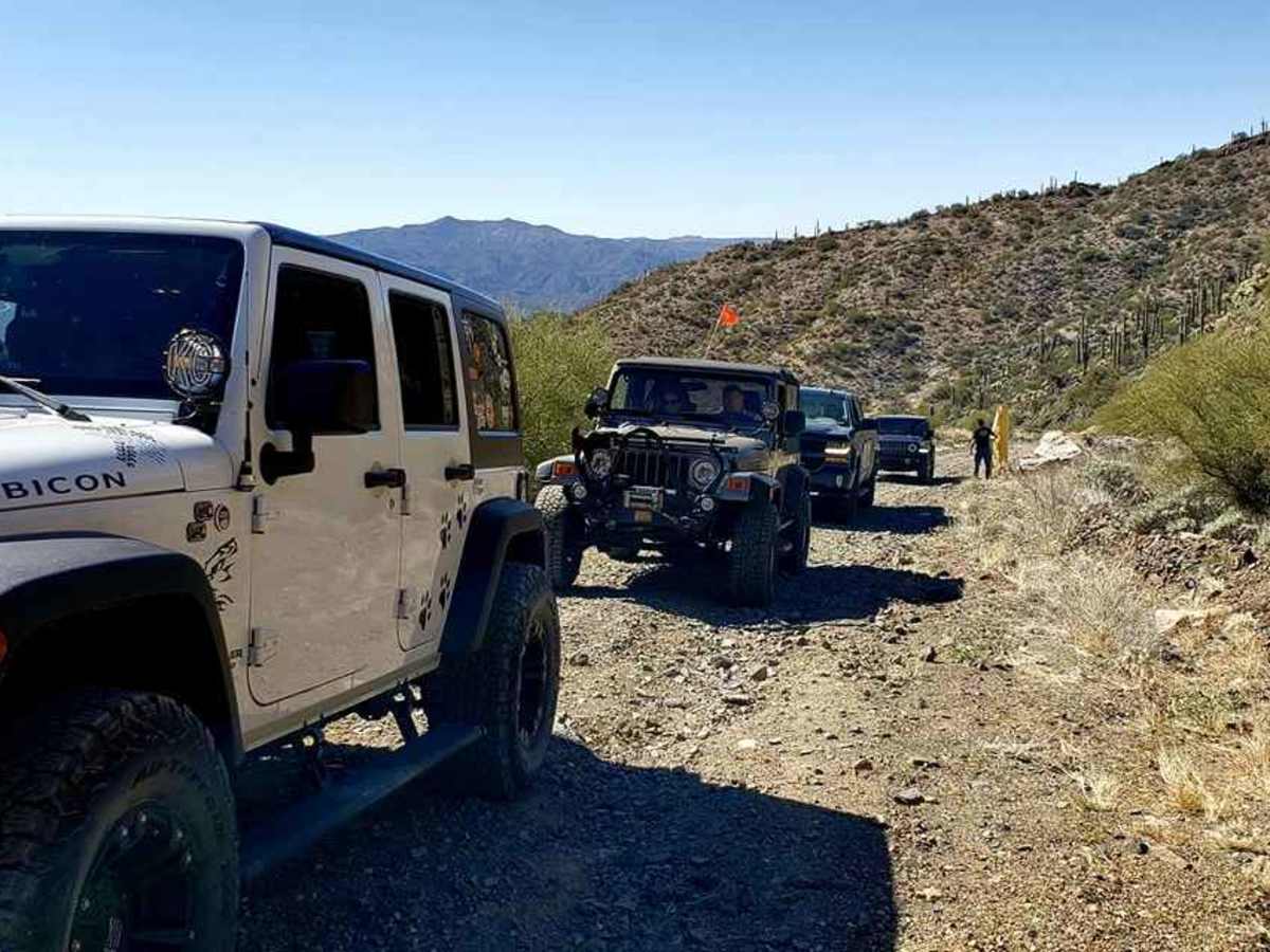
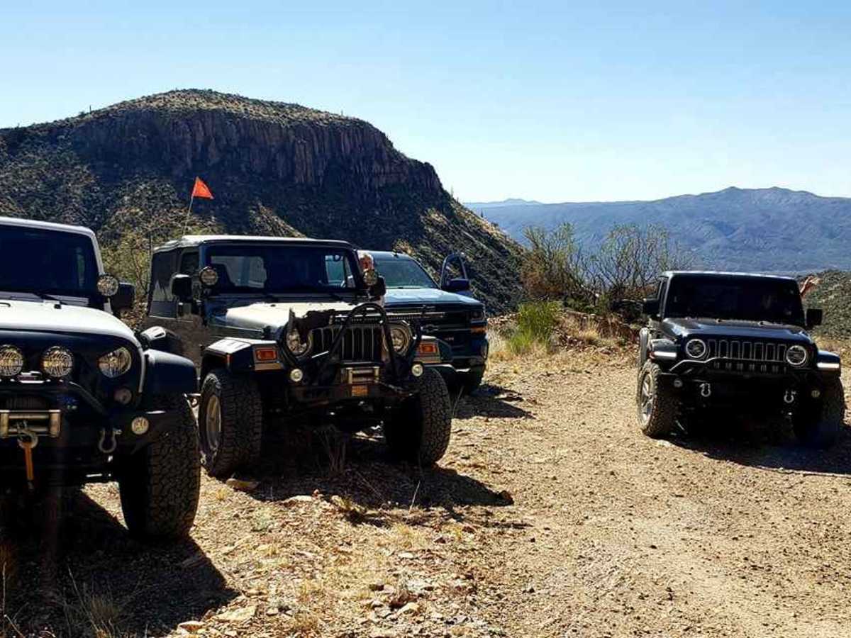
While the main trail is straightforward, those choosing to explore the network of spur roads beyond the mine will encounter more challenging terrain, including off-camber sections, tight turns, and loose rock on steep uphill climbs. A four-wheel-drive vehicle with high ground clearance is highly recommended for these rugged extensions, which are also popular with SxSs and off-road motorcycles. Because portions of the trail cross Arizona State Trust Land, drivers must secure a State Trust Permit before heading out. To reach the trail from Superior, drive south on State Route 177 toward Kearny, cross the bridge over the wash, and turn left to start the climb.
Difficulty
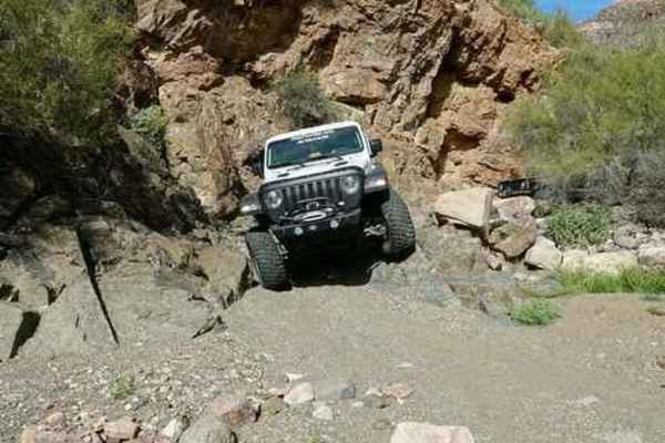
Up to Chilito Mine High clearnce vehicles can pass without issues. A few rocky spots and a couple rutted areas that are failrly easy to drive trhough. Once you arrive at Chilito mine if you choose to continue past this out and back trail things get a little tougher with off camber sections, tight turns, loose rock on a uphill climb. Defenitly recommend 4wd and good ground clearance should you choose to go farther.
History
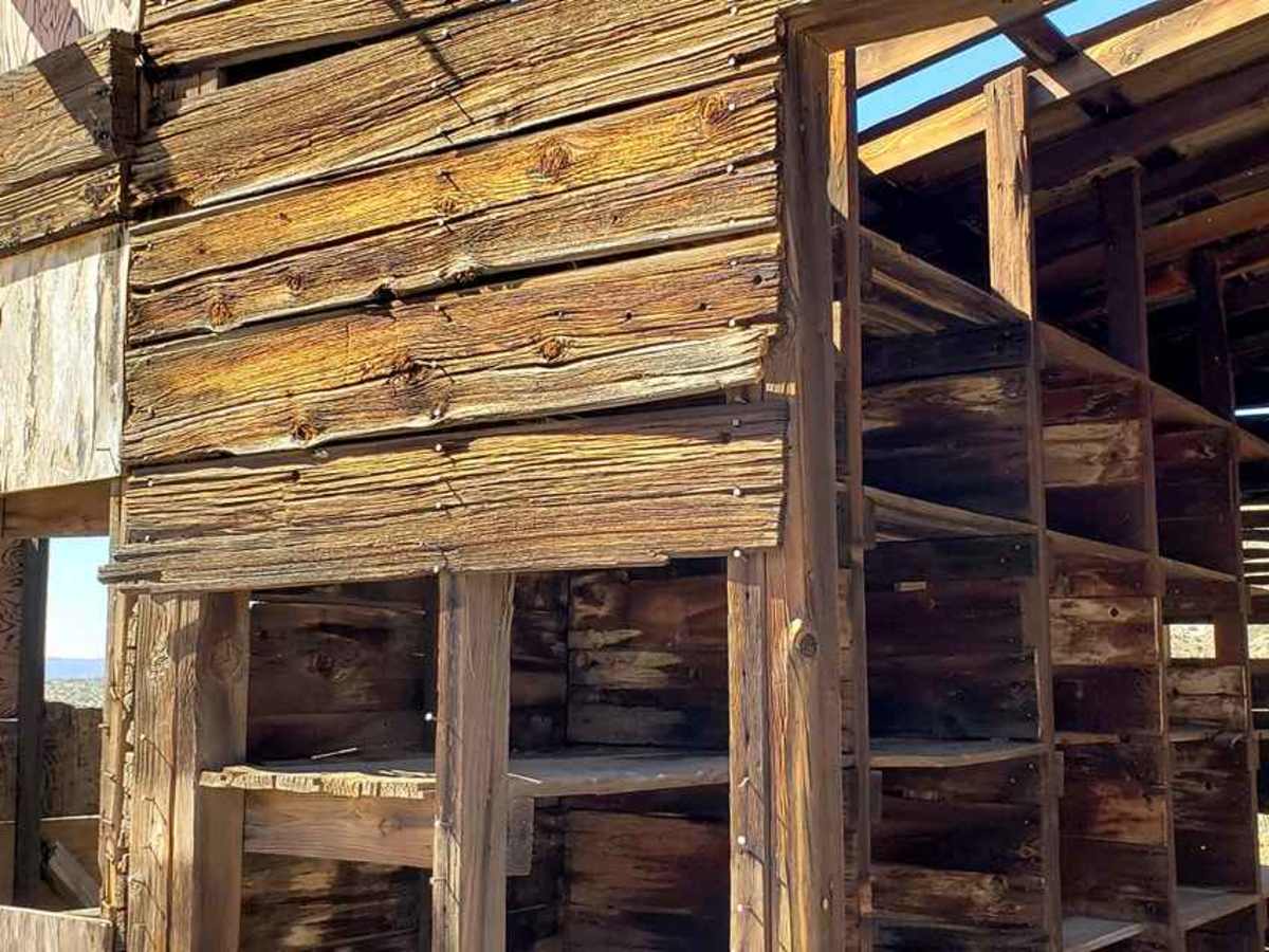
The surrounding area features a rich history of mining operations, highlighted by the Chilito Mine workings. Visitors should respect all historical ruins and avoid disturbing any remaining structures or artifacts.