Trail Overview
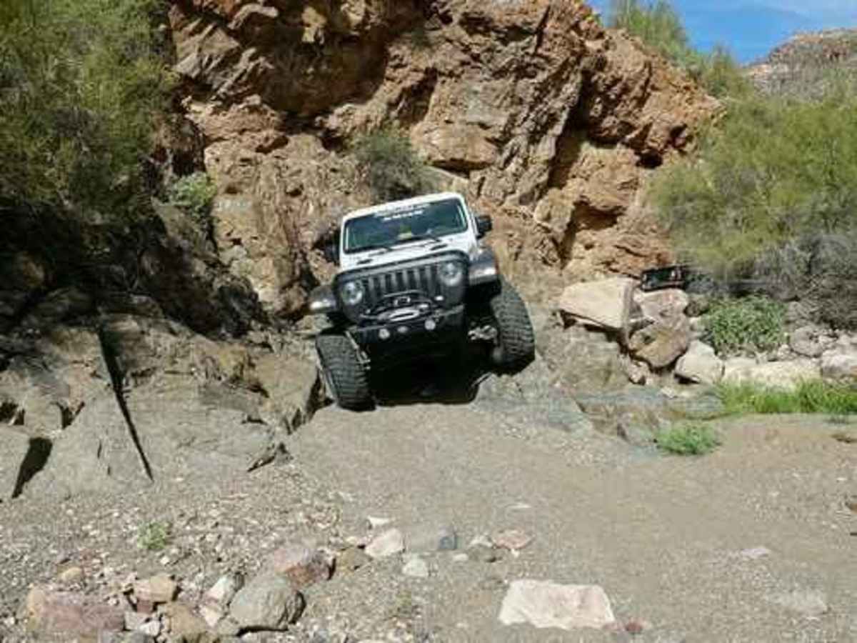
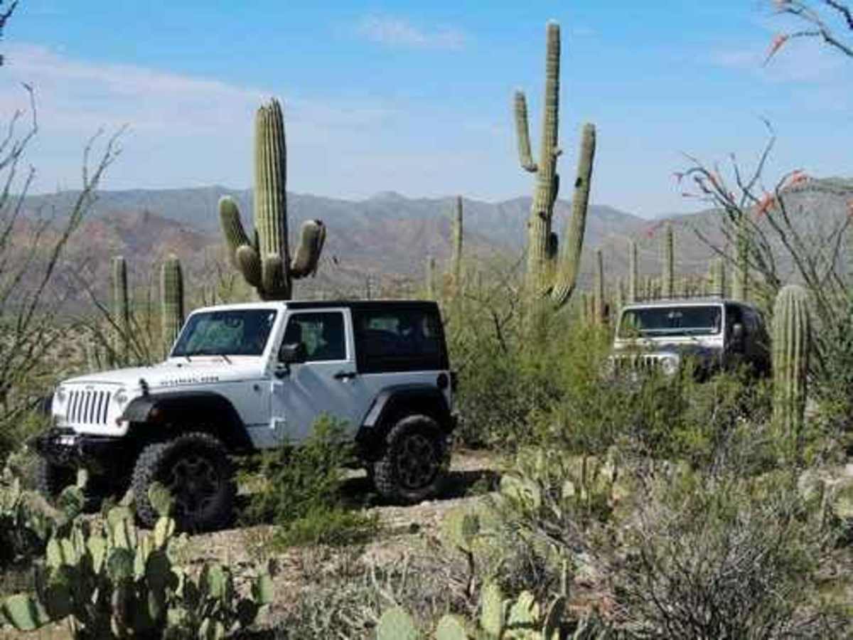
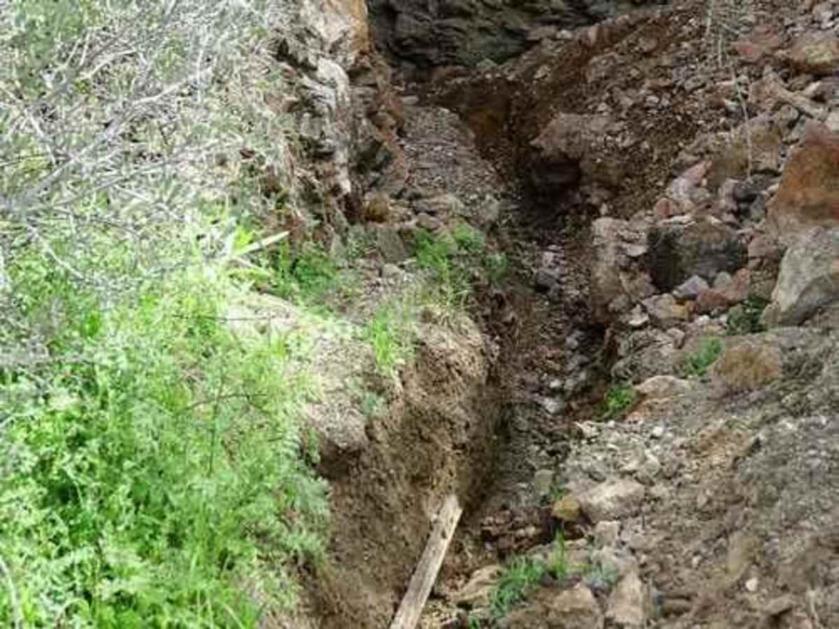
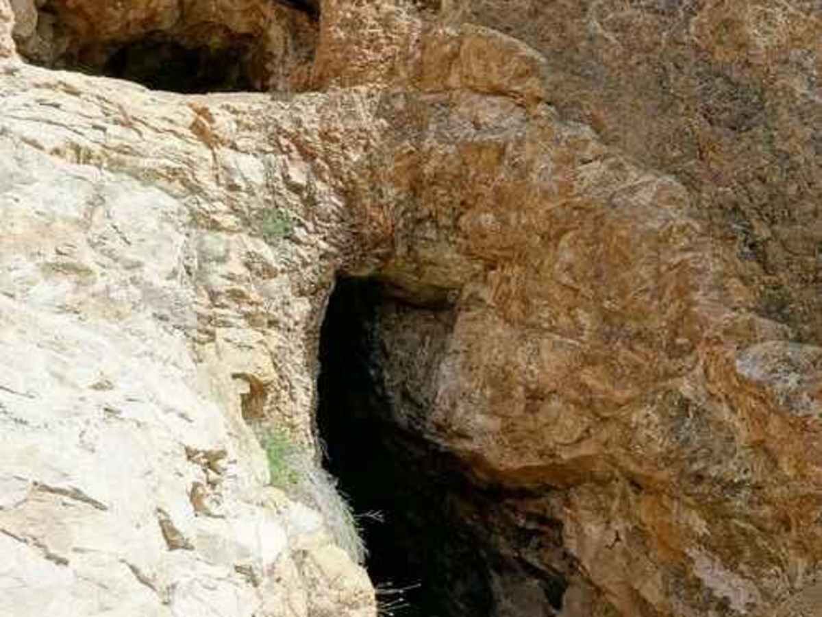
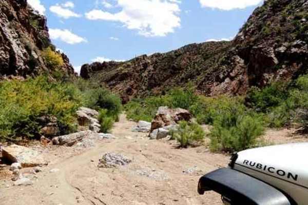
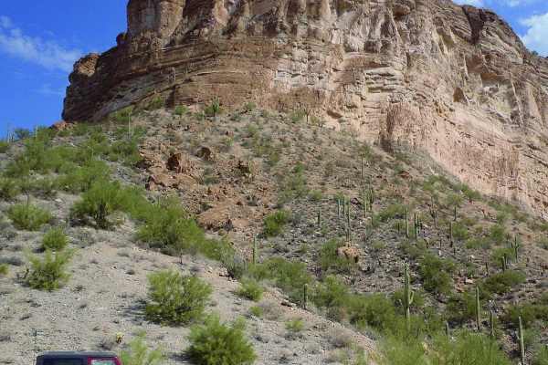
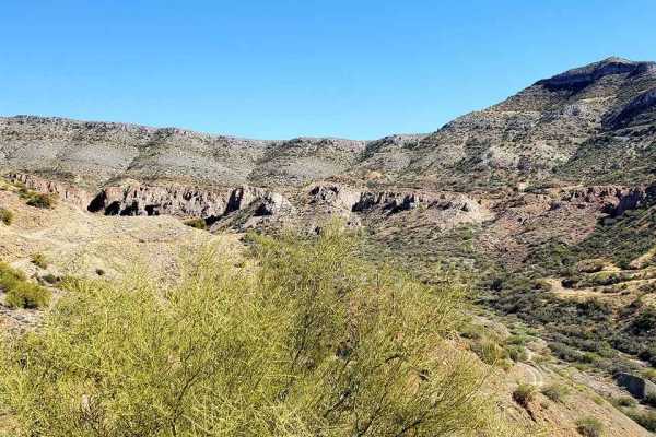
An easy, relaxing Jeep trail up the west side of the Dripping Spring Mountains near Kearny. Visit 3 shafts of an abandoned lead, vanadium and molybdenum mine, plus view a settling pond on top of of an overburden pile for the Ray Mine. Very short trail.The U.S. Vanadium Development Company of Phoenix appears to have developed this mine around 1916. I have not been able to find any other information about the site.In 2007 a rockhound posted: The Grey Horse mine is a little rough to get to, but the trip is worth it. The mine has multiple levels and follows a dike which runs along a fault. Entire walls of the slip-face have been exposed in the mine and look like sheets of ice because they have been polished smooth by crustal movement and compression. It has an excellent deposit of vanadinite on all levels. Descloizite is extremely prevalent, as is calcite. Wulfenite occurs, though less frequently.This Jeep trail can be done in either direction, but we prefer clockwise because of the views descending toward Kearny. The main loop of the trail is rated 4, with only 2 short sections leading to shafts having the 5 rating. The southeastern leg is easier than the northwestern one. We visited 3 shafts and have numbered them in the order of visit, not in the order of importance. The trail beyond the settling pond viewpoint to shaft 1 is rated 2.5 and is quite brushy. Some people will prefer to walk. We did not go very far into the shaft and did not take interior photos. We did find where someone had recently dug up and stolen a section of rail just outside the entrance.A statement from mindat.org describes this shaft: This locality is the northernmost opening in the Gray Horse group, lying at the very end of the road on the hill crest above the main Gray Horse workings. It does not have a formal name. This operation comprised an adit of some 170 feet in length and a shallow shaft connecting the adit with the surface (perhaps 30-40 feet). These workings do not connect with any other workings in the area. The operation was productive since there are the roots of a couple of small ore piles remaining on site plus a nearly barren waste dump.Shaft 2 is reached by a short climb from the wash. The shaft appears to fork after a bit. We did not go beyond this point. Follow a more difficult route up the wash to where a brushy old road turns right up the hill to shaft number 3. You can squeeze 4 Jeeps at the end of this short spur. Others can easily walk up from the wash or walk up the hill from shaft 2.