Pioneer Pass

Total Miles 21.1
Technical Rating
3 Easy
Best Time Spring, Summer, Fall
Trail Type Full-Width Road
Accessible By
Open Trail Map

Trail Overview

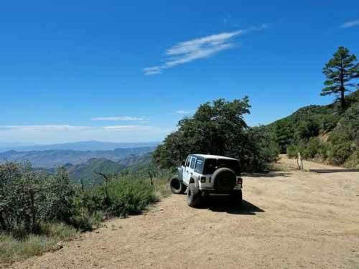
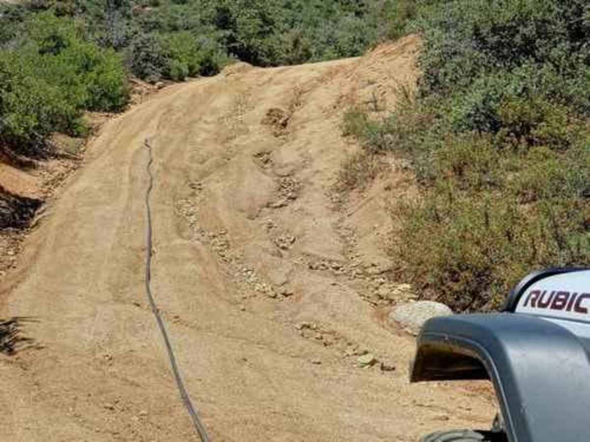
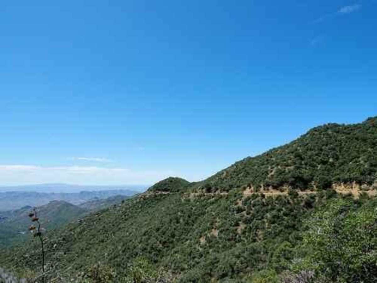
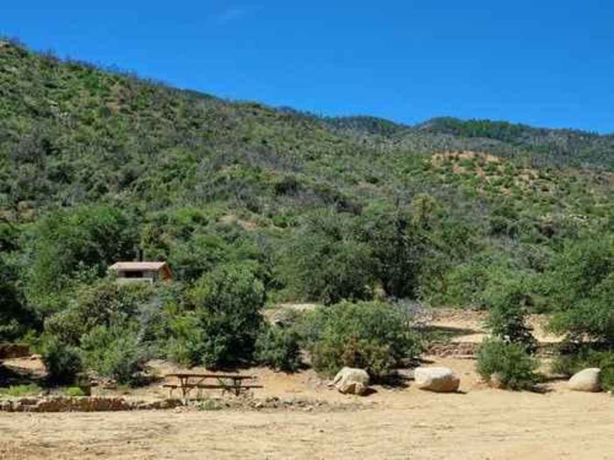
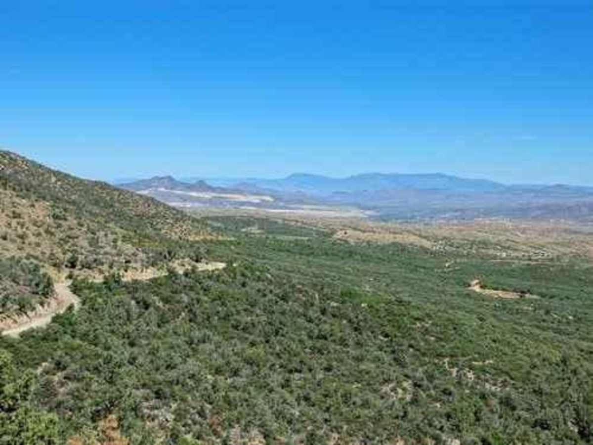
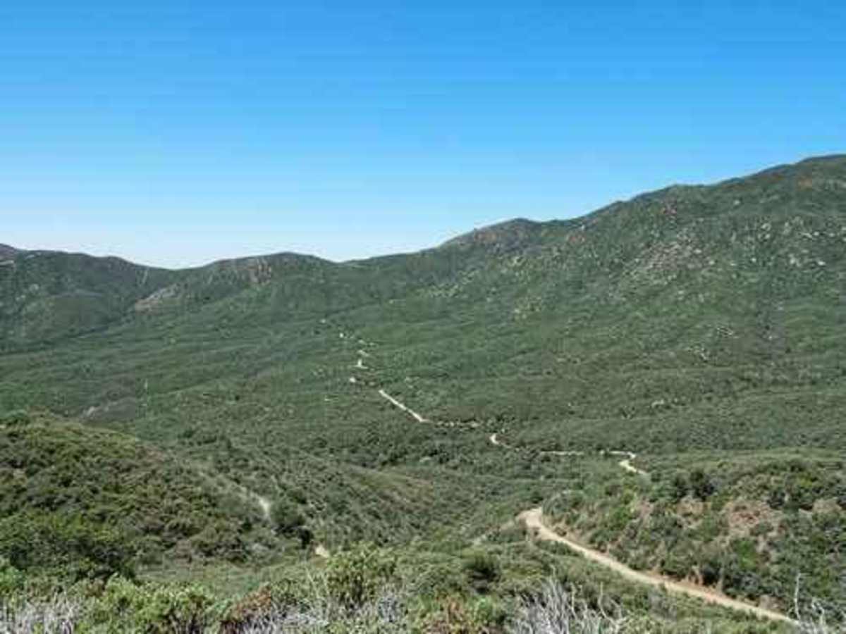
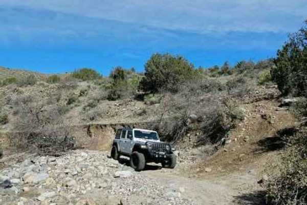
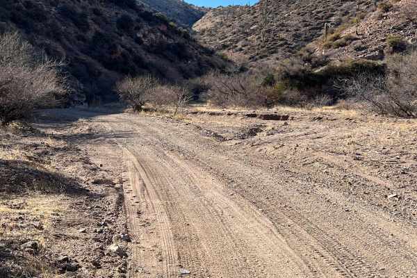
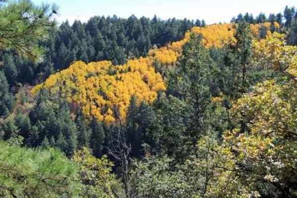
Pioneer Pass starts near the center of Globe, circles the south side of Pinal Peak, and ends on Forest Service Road 651 leading to Pinal Peak. Climb to Pioneer Pass at 6,000' elevation, drop into Pioneer and Bobtail Basins at 5,000' then climb back up to 6,000' on the Pinal Peak Road. An enjoyable ride through a somewhat remote country.Most of this trip is on easy-rated roads, with less than 6 miles rated 3. We ran the most difficult section in August 2019 and met the Forest Service surveying the road. One of the employees told us she expected the road to be improved fairly soon. We did not learn how much of the road or when. This adventure can easily be run in either direction but is described beginning in Globe.The first 5 miles from US 60 are paved. Not long after the pavement ends is the Ice House picnic area, constructed by the CCC.This fairly wide, well-graded road begins in the Pinyon-Juniper Forest at lower elevations and soon turns to beautiful ponderosa pine as you climb higher on the mountain.Pioneer Recreation Area, prior to Pioneer Pass, makes good use of the ponderosa stands.Ponderosa ends abruptly at Pioneer Pass as the southern exposure appears to be too hot and dry.The road stays high for over a mile beyond the pass and offers great long-distance vistas.The 3 difficulty section is not hard, but it is quite a bit slower because of numerous eroded gullies both down and across the road. Perhaps it will have been rebuilt by the time you get there, perhaps.The road continues up and down across the countryside, still with nice views into the distance. A sharp eye can pick out Magma Mine (Resolution Copper) near Superior.This must be water for wildlife. There is a cement ramp up to the edge of the tank and then a metal one down into it.

Photos of Pioneer Pass

Difficulty

Most of this trip is on graded roads, with less than 6 miles rated 3.

Technical Rating

3

Status Reports

Add Status Report
gps gps
Dec 30, 2025
Open
Trail is washed out 2 miles east of Pinal peak Road
Lee Tech
Nov 01, 2025
Open
Attempted to ride a clockwise loop through pioneer pass that I had done in the spring, but approximately 5-6 miles after the pass (33.25691, -110.84777) the trail was washed out and impassivle via 48" wide ATVs. A skilled motorcycle rider may be able to make it through but there was a washout we barely made it past previously which would likely prevent a full-size vehicle or SxS from even getting to the washout.
Nicole Jackson
Sep 28, 2025
Open
Floods have washed out road at the little bridge. Coming from Globe side.
Ryan Mc
Sep 20, 2025
Open
Did the loop clockwise. The only part not sedan passable is the few miles connecting Pioneer Pass to Kellner Canyon; that stretch was quite bumpy, eroded, and slow, but nothing too challenging. Hardest parts were a few steep, rutted inclines that required a fair bit of hamster power.
David Forster
May 26, 2025
Open
Started at ice house picnic site nice trail lots of elevation, few spot that require you to really slow down
gilbert delatorre
Mar 28, 2025
Open
Lots of steep ledges and the road is narrow but totally manageable with a midsized SUV with good tires.
Ted Phipps
Feb 04, 2025
Open
Road barriers. Appears bridge is washed out a couple of miles from the west side of Globe entrance.
Brett Russo
Sep 21, 2024
Open
This route is passable no issues FR 212 from under the TV tower to the city. The road is tight, brushy in spots, rocky, the center of the single track has pretty tall weeds etc.. it's beautiful, but the trail guide description is pretty far off. there is a lot of no turn around ledge, we even ran into a cow. we did about half at dark. Experienced drivers will have not issues.
ANDY R.
Feb 25, 2024
Open
Rock slides and boulders covered the trail 5-ish miles from the Pinal to Pinal junction, had to tourn around, notified the forest service
Ben Curson
Jul 03, 2023
Open

Pioneer Pass Trail can be accessed by the following ride types:

  • Single Track
  • 50 Inch
  • 60 Inch
  • High Clearance
  • Full Width

Pioneer Pass Map

The onX Offroad Difference

onX Offroad combines trail photos, descriptions, difficulty ratings, width restrictions, seasonality, and more in a user-friendly interface. Available on all devices, with offline access and full compatibility with CarPlay and Android Auto. Discover what you're missing today!

Open Trail Map