Trail Overview
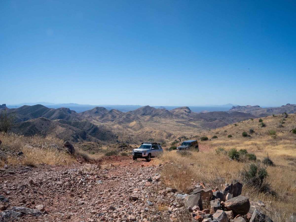
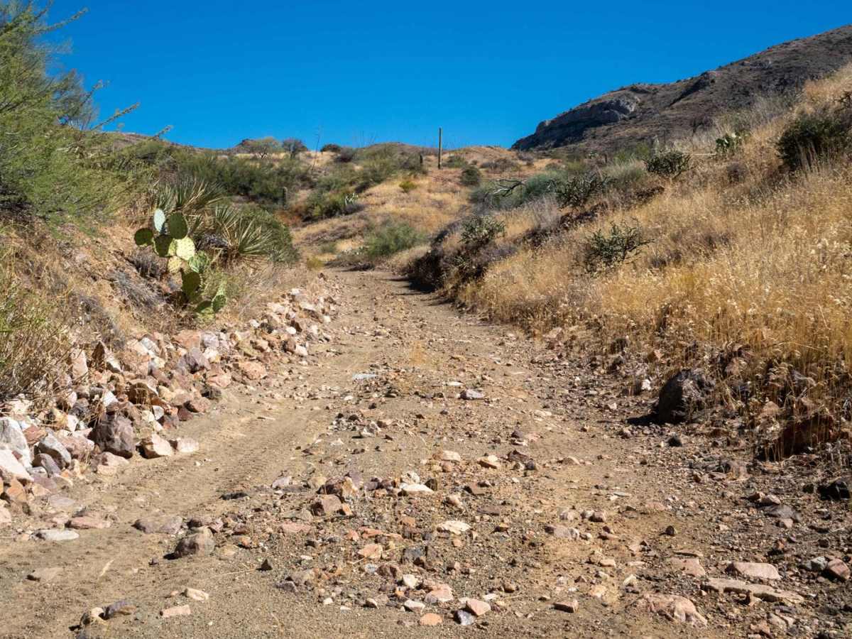
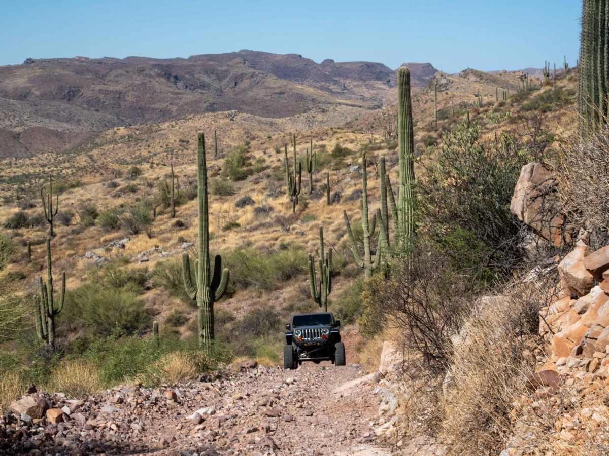
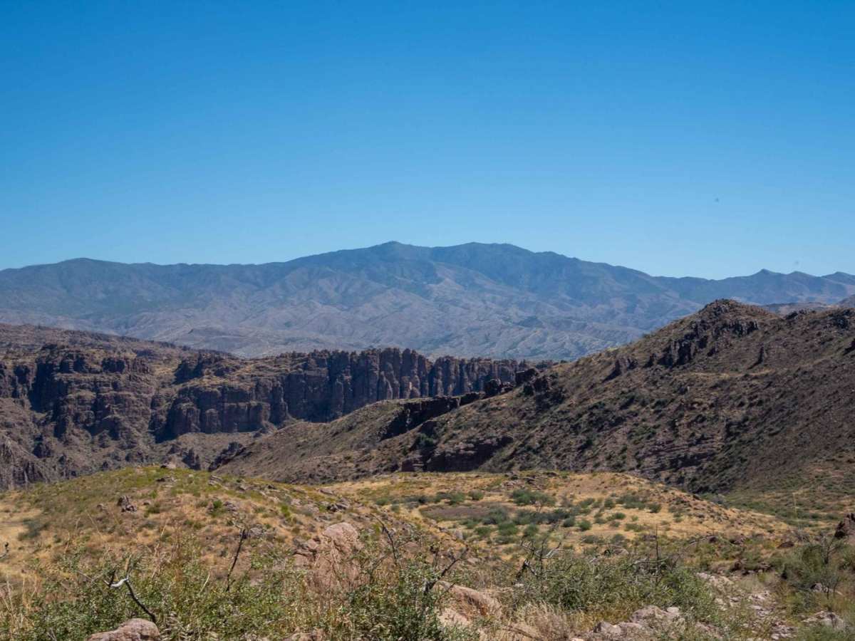
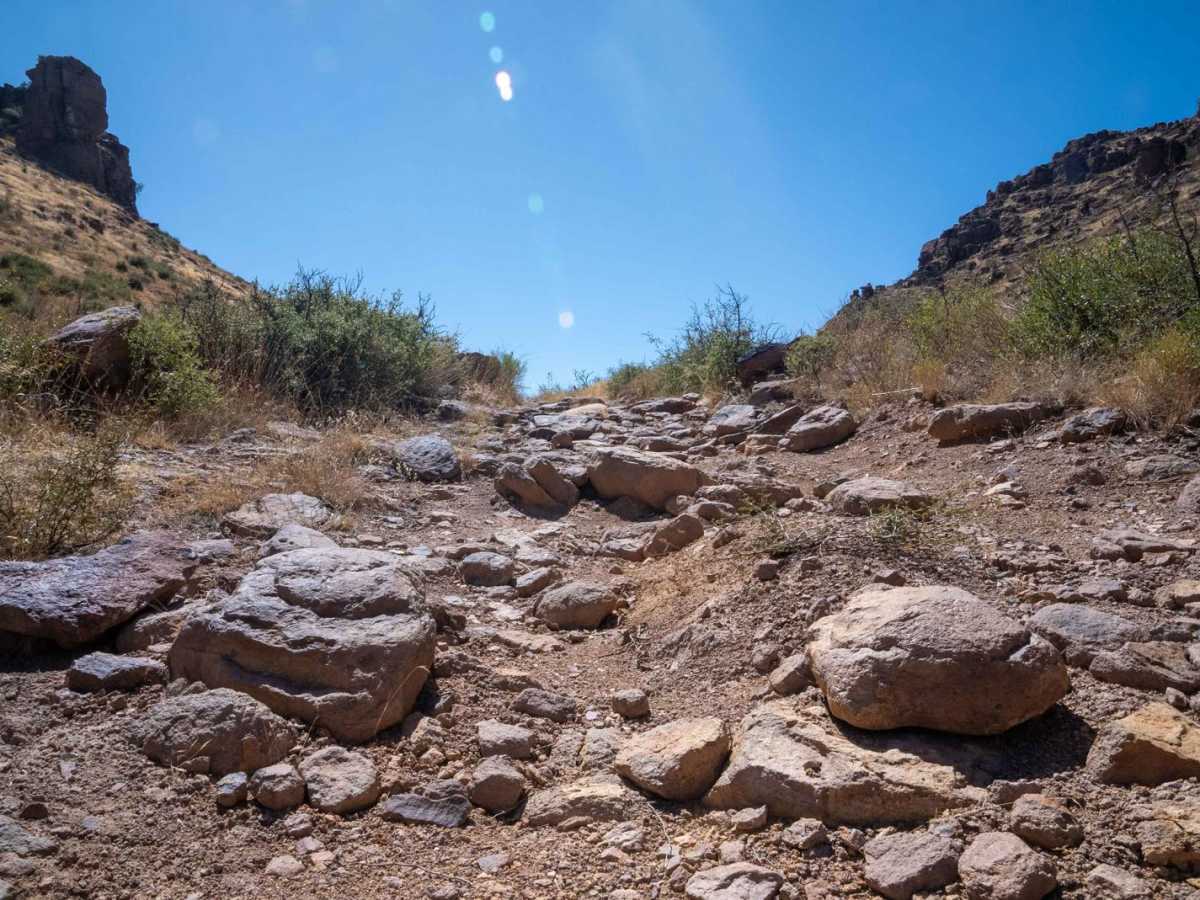
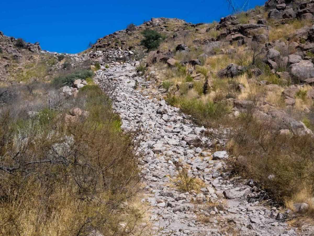
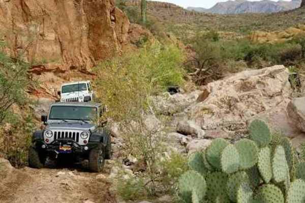
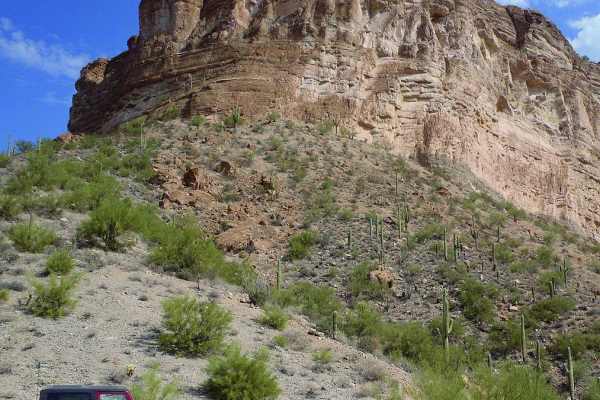
Located just east of Superior, Arizona, Lower Hackberry Trail offers a mix of desert landscapes, dry creek crossings, rock garden obstacles, and elevated views, providing off-roaders with an exciting and scenic journey. The trail starts in the Tonto National Forest and crosses through State Land Trust areas, requiring a State Land Trust permit for access. State Land Trust permits are $15 annually and available online at land.az.gov. The trail begins with mild terrain, mostly composed of dusty dirt roads and desert vegetation. As you proceed, you ascend roughly 1,300 feet in elevation, opening up a stunning view of the surrounding mountains. Up to the viewpoint, the trail is manageable for most stock off-road vehicles. Beyond the viewpoint, the trail becomes much more difficult and requires a lifted vehicle with underbody protection to handle the larger rocks and ledges. 5.2 miles in, there is a rock-garden hill-climb section that is very challenging and will take careful spotting and driving to navigate. Bring recovery gear, such as a winch, as challenging obstacles and tall shelves could possibly high-center your vehicle. Locker is recommended, and this part of the trail is best suited for experienced off-roaders only. After conquering the most challenging part of the trail, the final stretch winds down through scenic mountain landscapes before leading back to Highway 60 with gentler terrain and even more beautiful views along the way.
Difficulty
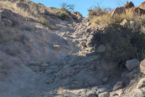
5.2 miles in, there is a rock garden hill climb section that is very challenging and will take careful driving and spotting to navigate. The left section of the rock garden hill climb has rocks that exceed axle height even for vehicles on 40-inch tires. The right side of the rock garden hill climb has shelves that exceed 30 inches in height where tire placement is crucial to avoid getting high centered. Bring recovery gear, such as a winch, due to challenging obstacles and tall shelves that might high center vehicle. Locker is recommended and this part of the trail is best suited for experienced off-roaders only.