Queen Creek Canyon

Total Miles 11.9
Technical Rating
6 Moderate
Best Time Spring, Summer, Fall
Trail Type Full-Width Road
Accessible By
Open Trail Map

Trail Overview

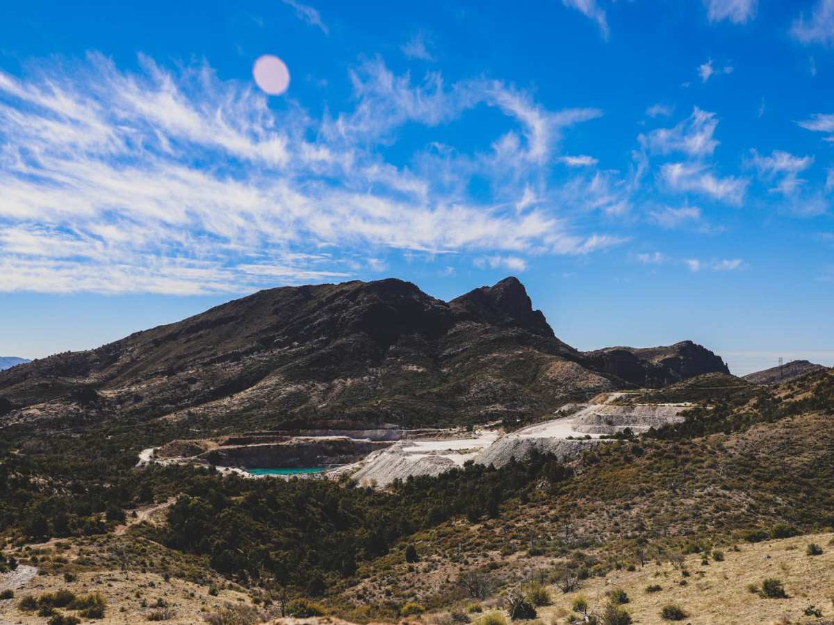
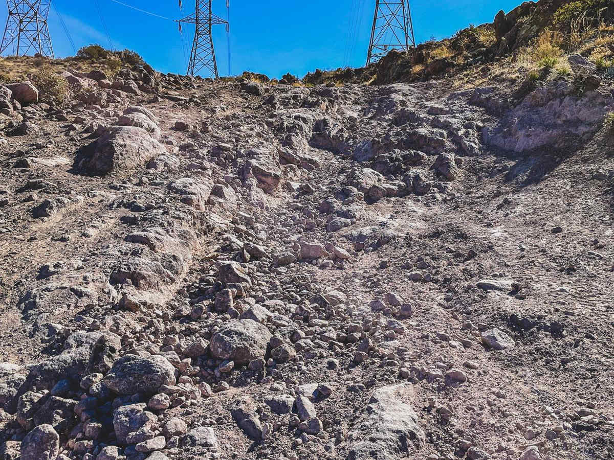
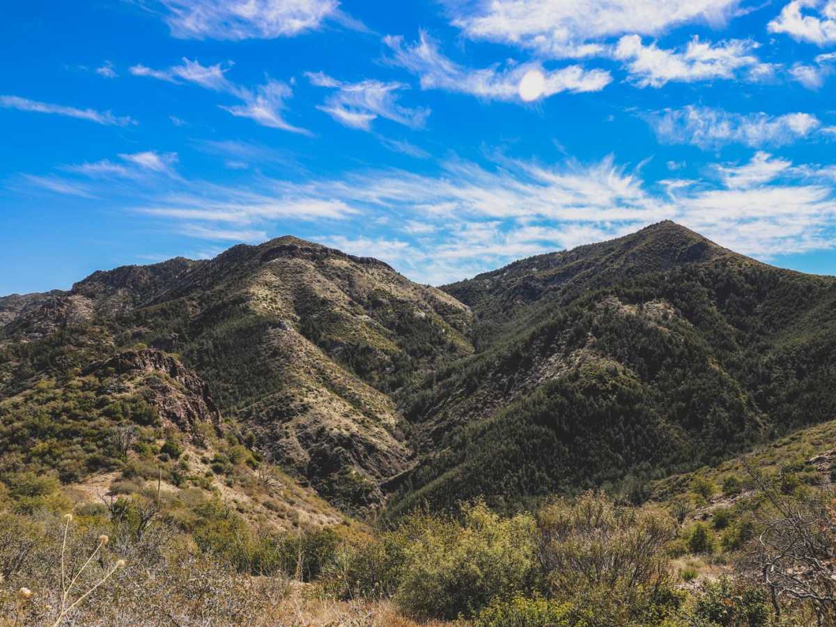
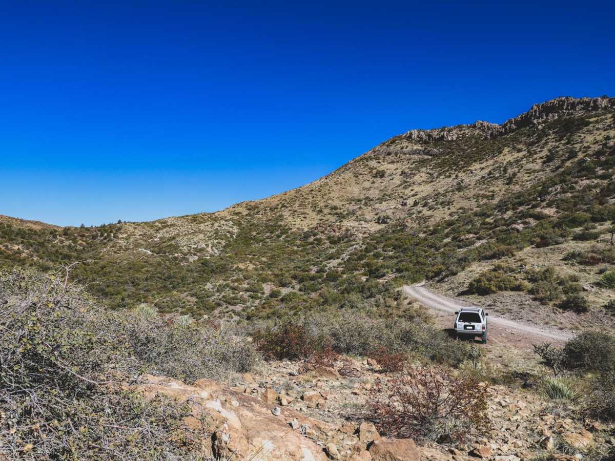
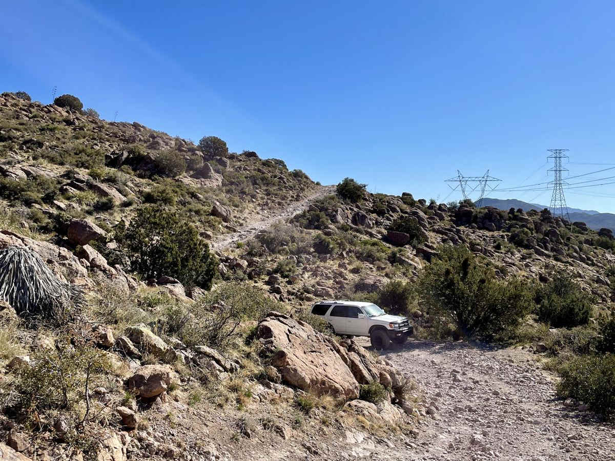
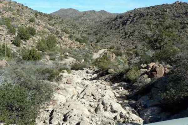
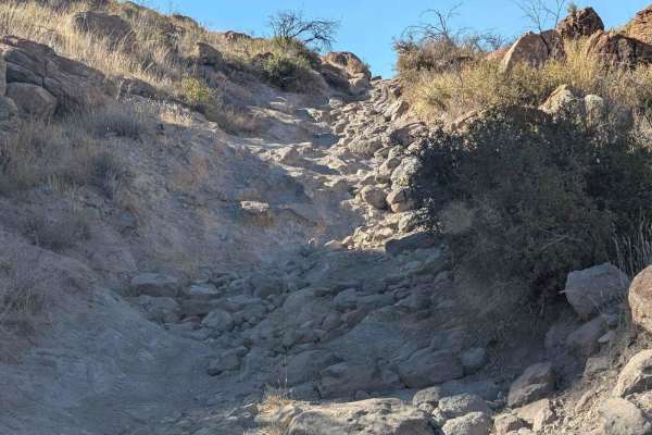
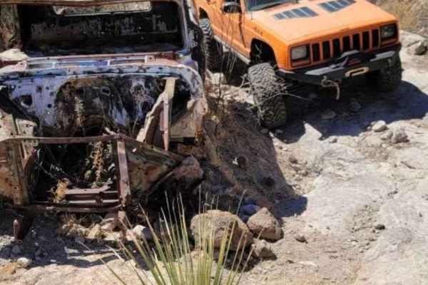
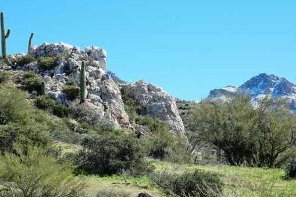
This connects to Montana Mountain from US 60. Starting from the 60, the trail is a maintained dirt road leading up to a SRP substation. Once you reach the substation, you will turn onto FR 342, and from there the road becomes more extreme consisting of large rocks and steep inclines. A lifted 4x4 vehicle is recommended for this portion of the trail. Stock SUVs may have trouble clearing obstacles. You should also have a second vehicle with you in case you get stuck. Once you get to the bottom of the first hill the trail leads onto another maintained road that runs along a closed mine. From there, you will begin a second ascent up 342 with large boulders and loose rocks. After reaching the top, you will find a lookout of the surrounding area. The climb down is slow. There are various switch backs, boulders and other small obstacles to navigate. The remainder of the trail is fairly narrow and rides along a steep hillside which makes it difficult when confronting oncoming riders. The final descent presents a view of Happy Camp Rd and the switchbacks leading up to Montana Mountain. Stay alert, as there are still large dropoffs and rocks as you make your way to the bottom. Once you reach the bottom you can head South to US 60 or North to Montana Mountain.

Photos of Queen Creek Canyon

Difficulty

There are moderate obstacles that will have to be tackled while on this trail. Experienced riders should have no issue getting through this trail safely. Stock SUV ride height may not clear some of the obstacles.

Technical Rating

6

Status Reports

Add Status Report
Gerald Sagen
Jan 21, 2026
Open
Trail 342 was extremely rough, 12” clearance skid plates were hitting and rock rails occasionally. Ran the whole trail, with three SXS, from the east side of the Montana Mountain loop to highway 60 east of Superior. 4:57 minutes running time 19 miles
Zach B
Oct 11, 2025
Open
Beautiful trail if you can make it. You will encounter pin stripes and off-camber sections with very little room for correction once you pick your line. The recent storms have really eroded some areas away and made the off-camber sections a little harder. Be careful when entering from Montana Mountain, as you come around to start heading west again (the section north-east of Mac Spring, see pics) there is a part of the trail that has collapsed and you cannot see it in low light until you are right up onto it, my buddy dropped down hard into it and luckily didn't slide down; you need to really hug those bushes and be prepared to slide sideways, would not recommend in anything wider than a Jeep, Bronco, Tacoma, etc.
mike k
Sep 27, 2025
Open
beautiful trail with lots of exposure. I ran 35s with a 2.5 inch lift with no issues. no lockers needed. ran the trail from W to E, do the climb and don't take the bypass. you'll know when you see it. took about 4hrs with stops. watch for washed out corners.
AJ Carr
Feb 08, 2025
Open
Jonathan Duncan
Dec 15, 2024
Open
J M Taylor
Apr 24, 2024
Open
Rocky and rough. Fabulous scenery. Did the trail this day in a modified TJ. There’s no way I’d try it in my Grand Cherokee.
Michael Lankford
Nov 24, 2023
Open
jeff arend
Mar 31, 2023
Open

Queen Creek Canyon Trail can be accessed by the following ride types:

  • Single Track
  • 50 Inch
  • High Clearance
  • Full Width

Queen Creek Canyon Map

The onX Offroad Difference

onX Offroad combines trail photos, descriptions, difficulty ratings, width restrictions, seasonality, and more in a user-friendly interface. Available on all devices, with offline access and full compatibility with CarPlay and Android Auto. Discover what you're missing today!

Open Trail Map