
Dirt Bike Trails
Near Butte Falls, Oregon
Explore All Dirt Bike Trails Near Butte Falls, Oregon
Dirt Bike Trails Near Butte Falls, Oregon
Discover the best dirt bike trails near you. Browse trail maps, check difficulty ratings, and find your next adventure — whether you're looking for a quick ride or an all-day expedition.
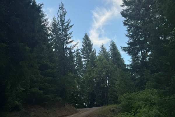
Hall's Point - FS 6400-200
This trail is a forest road that starts off with some gravel and then transitions to dirt. The trail steadily climbs over 2,300 feet in elevation over approximately 5.6 miles. The trail is mostly one lane wide with places to pass, and some areas have overgrown vegetation and tight trees. As the trai...
Learn more about Hall's Point - FS 6400-200
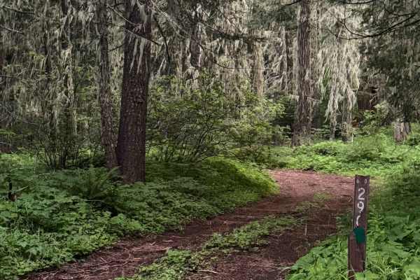
White Point Lookout Trail
This is a dirt-based forest road that climbs up to the White Point Lookout Tower. The trail is narrow and one vehicle wide, with overgrown vegetation most of the way. There are some small ledges and a couple of mud holes, but overall this is an easy trail that is suitable for any vehicle type, but e...
Learn more about White Point Lookout Trail
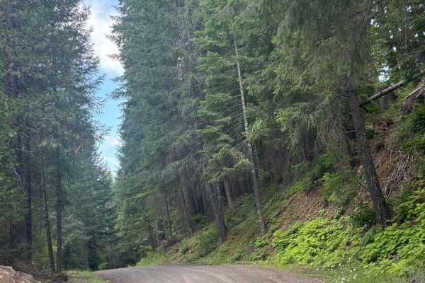
FS 6400
This is a hard-packed, gravel-based forest road in the Prospect OHV area. The trail begins as you cross an old wooden bridge where there is minor wash. The trail gradually climbs around 500 feet in elevation over just under 7 miles. This is a main trail into the network of trails, and one end of the...
Learn more about FS 6400
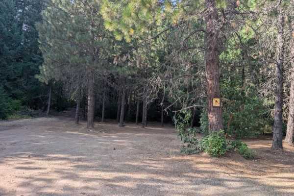
64
This well-maintained arterial road provides access to the various OHV trails throughout the Prospect OHV area. Pay attention to the posted boards along the route, as they indicate which vehicle types are permitted on each road. Some OHV trails can be rough and challenging, with mountainous terrain t...
Learn more about 64
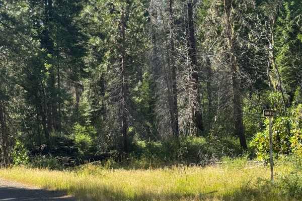
FS 6640
This is a hard-packed, gravel-based forest road that gradually climbs over 2,300 feet in elevation. In the beginning, the views are of forest and surrounding peaks and ridges, but closer to the top it opens up into meadows. There are some potholes you want to avoid as well as minor ruts and wash, bu...
Learn more about FS 6640
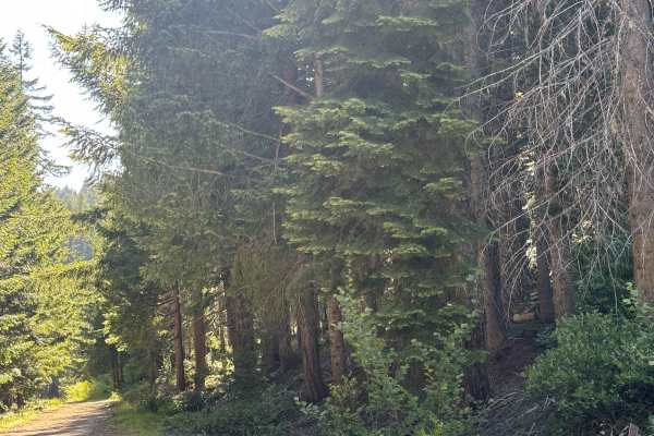
Buck Basin - FS 6600-300
This is a narrow, one-lane, gravel-based forest road with 1,300 feet of elevation change. The trail has lots of overgrown vegetation, and you will have dense forest views and views of the surrounding ridges. Camping is allowed along this trail, and there are several pre-existing campsites. There are...
Learn more about Buck Basin - FS 6600-300
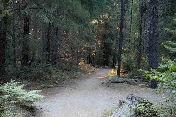
Perimeter Trail #40
The Perimeter Trail in the Prospect OHV trail system is 1.3 miles of easy two-track. This trail goes along the west perimeter of the Woodruff Play Area. It gradually snakes back and forth through the tall firs and hemlocks, with gradual curves. This trail is essentially flat, with hardly any elevati...
Learn more about Perimeter Trail #40
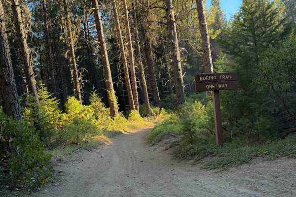
Boring Trail
This easy ATV trail is directional from northeast to southwest to keep it a safe environment for new riders and kids. It’s a wide two-track that lightly snakes through a forest of Douglas Fir, hemlocks, and ponderosa, on a flat forest floor with almost no technical elements. It has sweeping, gradual...
Learn more about Boring Trail
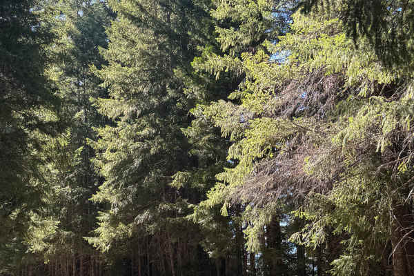
Gravel Butte - FS 6600
This is a gravel-based forest road in the Prospect OHV area. The trail gradually climbs nearly 1,400 feet in elevation, then drops the same amount over the course of 9.7 miles. The trail has minor ruts and wash, washboard, and some deep potholes but is overall an easy trail suitable for any vehicle ...
Learn more about Gravel Butte - FS 6600
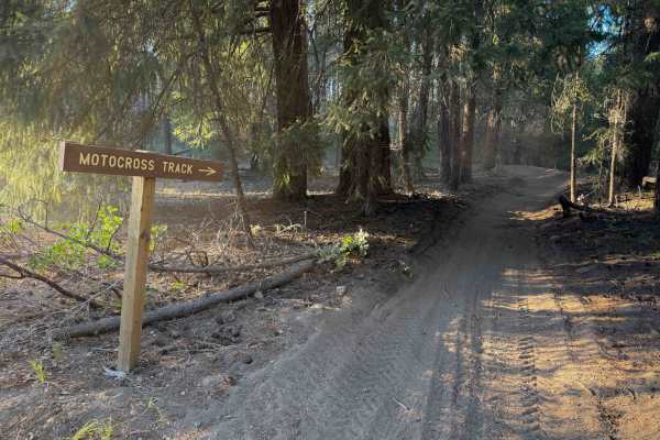
Motocross Track
The Motocross Track at the Woodruff Play Area is a fun and easy track ideal for beginners or kids. It’s more like a trail than a typical motocross track, as it doesn’t have any jumps. It has bermed and sweeping corners, and fast, straight sections. The trail is a typical two-track width ideal for AT...
Learn more about Motocross Track
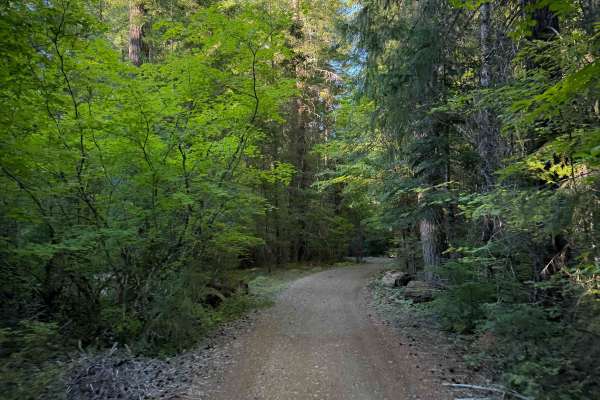
Elk Trail #24
Elk Trail #24 within the Prospect OHV Trail System is an easy ATV trail for vehicles 50” or less. The south end starts at the Woodruff Play Area, and it curves along the east perimeter of the play area for 1.6 miles as a wide and gradual two-track with minimal technical elements. It has shallow ruts...
Learn more about Elk Trail #24
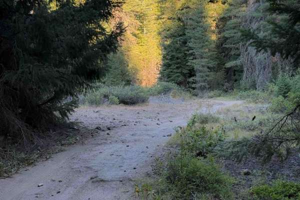
Learners Loop
The Learners Loop at the Woodruff Play Area, part of the Prospect OHV Trail System, is a perfect spot for novice riders to practice their off-road skills. The trail is a one-way, counter-clockwise loop, keeping it a safe environment for new riders and kids. It starts on the Perimeter Trail, but ride...
Learn more about Learners Loop
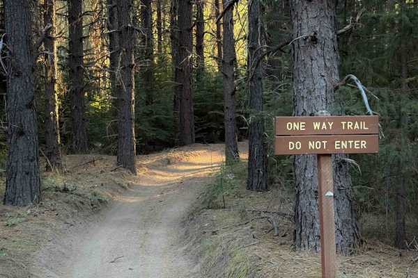
Maze Trail
The Maze Trail in the Prospect OHV Trail System is a .8 mile long easy ATV trail ideal for kids or beginners. It is a directional trail from southwest to northeast, the one-way nature keeping it safe for novice riders. It’s a simple and easy two-track with a mix of soft dirt and sand, and no obstacl...
Learn more about Maze Trail
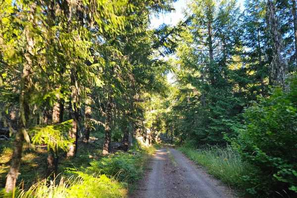
3200600
This beautiful forest road has a mix of maintained and rougher sections as it winds through the surrounding woodland. From the southern end, the road begins with areas that have been heavily damaged by rain, with deep erosion and a rough, gutted surface that calls for slower speeds and careful drivi...
Learn more about 3200600
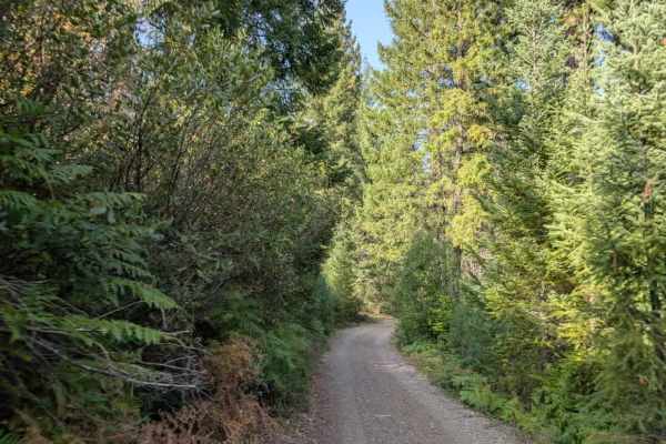
FS 6470100
This well-maintained road leads to Jim Creek Group Campground, then continues toward Jim Creek Staging Area. From there, the route continues with a sign indicating that you are entering a privately managed area. Stay to the right and follow the road carefully until reaching a small side route that l...
Learn more about FS 6470100
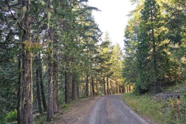
3200620
This trail winds through a beautiful forest but has several distinctly different sections. Starting from the southern end, the route is relatively narrow and heavily wooded, with pinstriping likely as branches and trees encroach on the single-lane road. Many trees have been cut back, although some w...
Learn more about 3200620
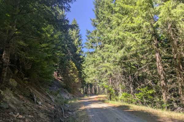
3232000
This well-maintained gravel road connects to Cow Creek Trail and is mostly a narrow, single-lane route with frequent curves and switchbacks. Large potholes are common, especially in shaded sections, and dips and corrugation also require slower speeds. From the Cow Creek side, the road begins with a ...
Learn more about 3232000
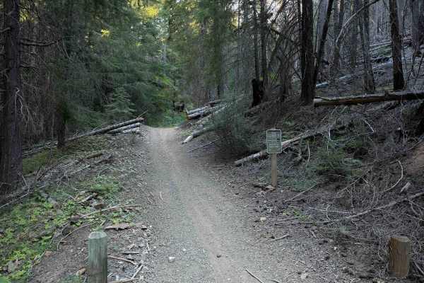
McCall Creek OHV #49
ATV Trail #49 in the Prospect OHV Trail System is a wide two-track open to vehicles 50” or less. It starts on Trail #2 on the east end and ends on Abbott Creek Road on the west end when the designation changes to a shared-use road open to all vehicles. The road portion of #49 continues west. Overall...
Learn more about McCall Creek OHV #49
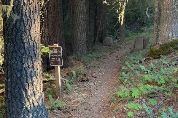
Sunshine OHV #22
Trail #22 is an easy dirt bike-only trail in the Prospect OHV Trail System. It’s a simple single track that gradually descends through a dense forest of mossy hemlocks and mature western white pines. The trail is curvy and flowy with a mix of tight corners and sweeping hairpins, riding through a gra...
Learn more about Sunshine OHV #22
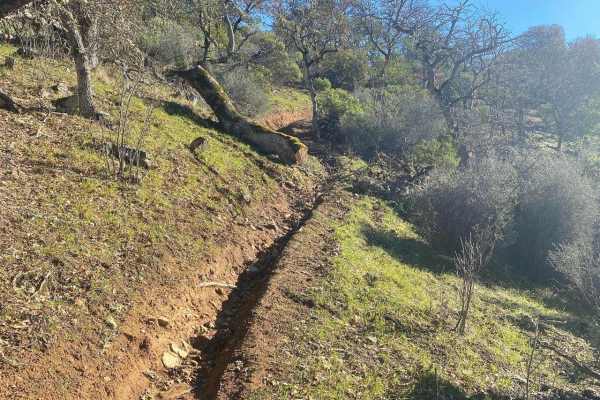
Fugawe Loop
This route includes rough trails, rocks, ruts, tree roots, and very steep hills (some are longer than others). It has tight, technical single track trails with some flowy, fast spots, some deep ruts, fallen trees, and some exposed spots. It's mostly a narrow trail but is a good loop to do with a sma...
Learn more about Fugawe Loop
ATV trails near Butte Falls, Oregon
Explore ATV-friendly trails near you. These trails are accessible for vehicles up to 50 inches wide, perfect for ATVs and smaller off-road machines.
Hall's Point - FS 6400-200
This trail is a forest road that starts off with some gravel and then transitions to dirt. The trail steadily climbs over 2,300 feet in elevation over approximately 5.6 miles. The trail is mostly one lane wide with places to pass, and some areas have overgrown vegetation and tight trees. As the trai...
Learn more about Hall's Point - FS 6400-200
White Point Lookout Trail
This is a dirt-based forest road that climbs up to the White Point Lookout Tower. The trail is narrow and one vehicle wide, with overgrown vegetation most of the way. There are some small ledges and a couple of mud holes, but overall this is an easy trail that is suitable for any vehicle type, but e...
Learn more about White Point Lookout Trail
FS 6400
This is a hard-packed, gravel-based forest road in the Prospect OHV area. The trail begins as you cross an old wooden bridge where there is minor wash. The trail gradually climbs around 500 feet in elevation over just under 7 miles. This is a main trail into the network of trails, and one end of the...
Learn more about FS 6400
64
This well-maintained arterial road provides access to the various OHV trails throughout the Prospect OHV area. Pay attention to the posted boards along the route, as they indicate which vehicle types are permitted on each road. Some OHV trails can be rough and challenging, with mountainous terrain t...
Learn more about 64
UTV/side-by-side trails near Butte Falls, Oregon
Find UTV and side-by-side trails near you. These trails accommodate vehicles up to 60 inches wide, ideal for UTVs, side-by-sides, and wider off-road rigs.
Hall's Point - FS 6400-200
This trail is a forest road that starts off with some gravel and then transitions to dirt. The trail steadily climbs over 2,300 feet in elevation over approximately 5.6 miles. The trail is mostly one lane wide with places to pass, and some areas have overgrown vegetation and tight trees. As the trai...
Learn more about Hall's Point - FS 6400-200
White Point Lookout Trail
This is a dirt-based forest road that climbs up to the White Point Lookout Tower. The trail is narrow and one vehicle wide, with overgrown vegetation most of the way. There are some small ledges and a couple of mud holes, but overall this is an easy trail that is suitable for any vehicle type, but e...
Learn more about White Point Lookout Trail
FS 6400
This is a hard-packed, gravel-based forest road in the Prospect OHV area. The trail begins as you cross an old wooden bridge where there is minor wash. The trail gradually climbs around 500 feet in elevation over just under 7 miles. This is a main trail into the network of trails, and one end of the...
Learn more about FS 6400
64
This well-maintained arterial road provides access to the various OHV trails throughout the Prospect OHV area. Pay attention to the posted boards along the route, as they indicate which vehicle types are permitted on each road. Some OHV trails can be rough and challenging, with mountainous terrain t...
Learn more about 64
The onX Offroad Difference
onX Offroad combines trail photos, descriptions, difficulty ratings, width restrictions, seasonality, and more in a user-friendly interface. Available on all devices, with offline access and full compatibility with CarPlay and Android Auto. Discover what you're missing today!
Open Trail Map