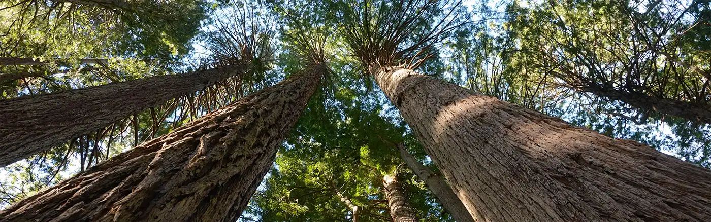
Beginner Off-Road Trails
Near Linda, California
Explore All Beginner Trails Near Linda, California
Beginner Off-Road Trails Near Linda, California
Discover the best beginner-friendly off-road trails near you. These easier, lower-rated trails are a great place to start — browse trail maps, check difficulty ratings, and find your next adventure.
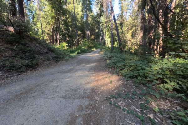
Dry Creek - FS 19N25
Dry Creek - FS 19N25 is a peaceful connector route linking Oregon Hill Road to Indiana-New York Road, offering convenient passage deeper into the surrounding backcountry. Set within the lush, mature conifer and hardwood canopy of Plumas National Forest, the corridor travels beneath towering ponderos...
Learn more about Dry Creek - FS 19N25
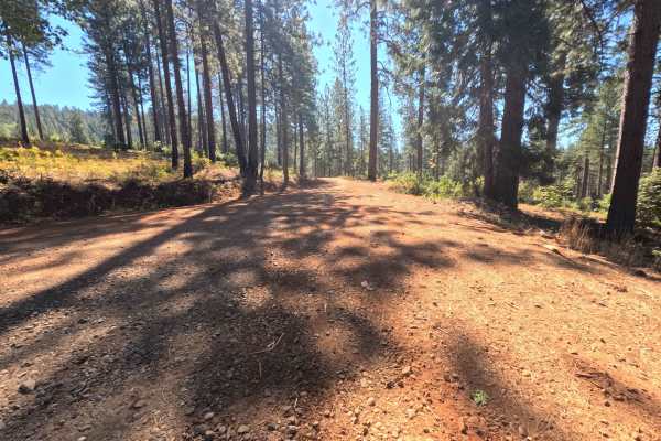
Plantation - FS 19N16
Plantation - FS 19N16 is a scenic connector loop that branches off Forest Service Road 21, circumnavigates a sprawling tract of backcountry timber, and rejoins Road 21 at an established paved junction. Situated within Plumas National Forest, the corridor traverses a lush woodland environment dominat...
Learn more about Plantation - FS 19N16
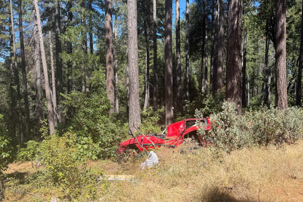
Milk Ranch - FS 19N04
Milk Ranch - FS 19N04 serves as an essential backcountry connector linking Plantation Road - FS 19N16 to Forest Service Road 21, providing dependable throughput across the undulating foothill ridges. Situated in Plumas National Forest, the track winds through a lush, vibrant canopy of towering ponde...
Learn more about Milk Ranch - FS 19N04
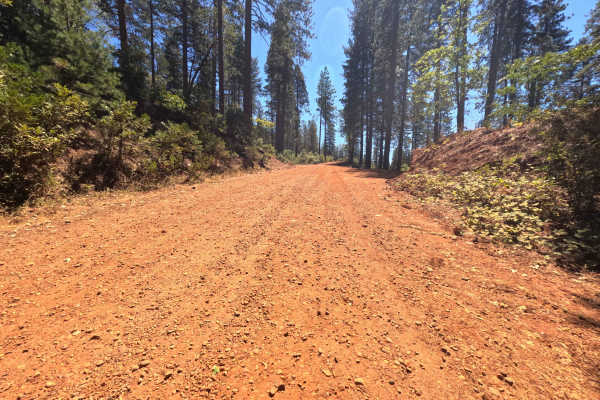
Pike CO Peak - FS 19N17
Pike CO Peak - FS 19N17 functions as a scenic mountain connector linking Forest Service Road 21 with Plantation - FS 19N16, offering elevated throughput across the forested crest of Pike County Peak. Situated in Plumas National Forest, the route travels through a lush, dense woodland of towering pon...
Learn more about Pike CO Peak - FS 19N17
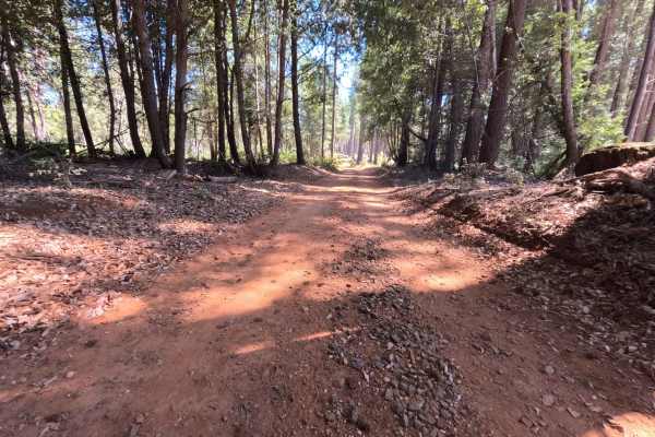
Milk - FS 19N00
Milk - FS 19N00 is a peaceful woodland connector branching off Plantation Road - FS 19N16 and descending through the hills toward lower Forest Service corridors near Bullards Bar Reservoir. Managed by Plumas National Forest, the track traverses a lush, dense mountain environment sheltered beneath to...
Learn more about Milk - FS 19N00
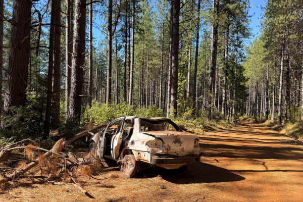
North Loop - FS 19N22
North Loop - FS 19N22 serves as a scenic woodland connector branching off Forest Road 21 and threading westward through the timbered foothills toward the small mountain community of Challenge. Set across the gently rolling terrain of Plumas National Forest, the corridor winds through a lush mixed-co...
Learn more about North Loop - FS 19N22
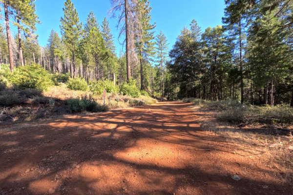
Dodge - FS 19N53
Dodge (Forest Service Road 19N53) is a tranquil out-and-back dirt spur accessed directly off Indian Road. Winding along a timbered ridgeline within the Feather River Ranger District of Plumas National Forest, the trail travels through mixed pine and oak woodland recovering from the 2015 Lumpkin Fire...
Learn more about Dodge - FS 19N53
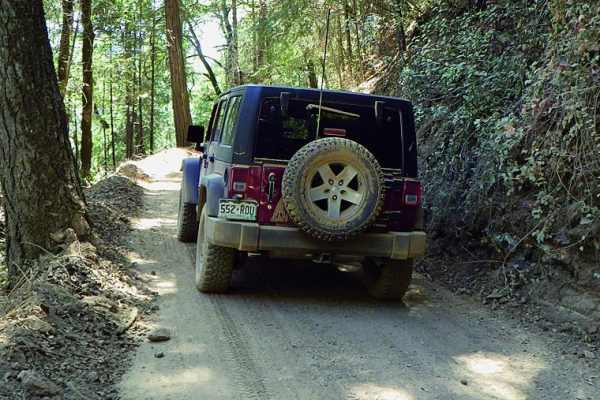
Shirttail Canyon
Shirttail Canyon is an easy, scenic loop ideal for stock four-wheel-drive vehicles and high-clearance SUVs looking for a relaxed journey through California's gold country. Starting just off Interstate 80 in Colfax, the route begins as a winding paved road that climbs into the Sierra foothills, passi...
Learn more about Shirttail Canyon
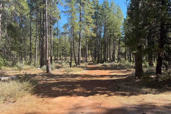
Indian - FS 19N03
Forest Service Road 19N03 (Indian) is an engaging backcountry connector branching off Forest Service Road 21 and tracing the scenic drainage of Indian Creek to an established junction with adjoining woodland routes. Nestled within the lush, canopy-rich evergreen forest of Plumas National Forest, the...
Learn more about Indian - FS 19N03
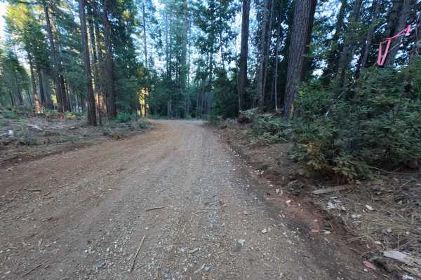
Peterson Ridge - FS 20N04
Peterson Ridge - FS 20N04 is a broad, well-defined out-and-back spur accessed directly from Bean Clipper Road. Winding across undulating high ground, the route journeys through a dense, thriving mixed-conifer forest of tall pine, cedar, and fir managed by the Plumas National Forest. The road feature...
Learn more about Peterson Ridge - FS 20N04
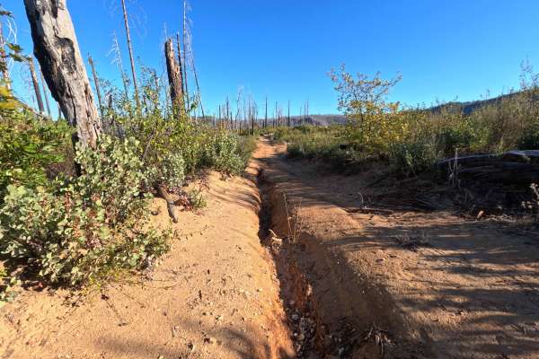
Falls Tie - FS 20N60
Branching directly from the primary access along Bryant Ravine, Falls Tie (FS 20N60) serves as a brief, out-and-back single-track gravel spur winding high along a remote mountain ridge. The route travels through a dynamic, severely impacted landscape within the Plumas National Forest, exposing overl...
Learn more about Falls Tie - FS 20N60
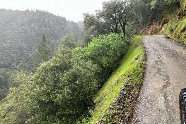
Yankee Jims
This is a secondary entrance to the Shirttail Canyon trail. This trail meanders down the canyon, surrounded by mossy trees and waterfalls during certain times of the year. If coming from the Foresthill side, this is a great day venture down to the river. You can even take it out to the other side, H...
Learn more about Yankee Jims
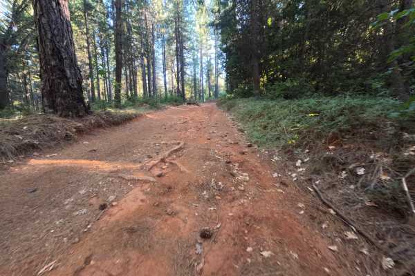
Long Point - FS 613-008
Long Point - FS 613-008 is a wide, single-track dirt spur that branches off Tyler Foote Crossing Road as an out-and-back route. The road holds a mostly level grade for its first mile and a half, with a curve near 1.4 miles offering enough room for two vehicles to disperse camp. Past that point, the ...
Learn more about Long Point - FS 613-008
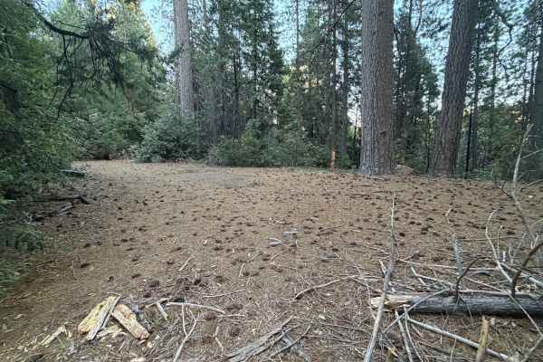
Grizzly Ridge - FS 37
Grizzly Ridge - FS 37 branches off Tyler Foote Crossing Road as a wide single-track dirt and gravel road, climbing steadily to connect with Bear Trap Springs Road on the other end. The route gains roughly 850 feet of elevation across its 3.6-mile length, a moderate, sustained climb that lives up to ...
Learn more about Grizzly Ridge - FS 37
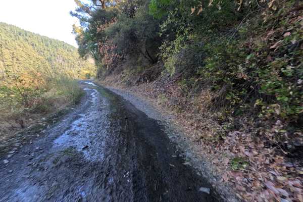
Tyler Foote Crossing Road
Tyler Foote Crossing Road serves as a prominent, historic connector trail linking the high country down into the remote, historic mining town of Alleghany, ultimately ending at the intersection with Miners Street. Functioning as a vital thoroughfare rather than a simple spur, the route travels throu...
Learn more about Tyler Foote Crossing Road
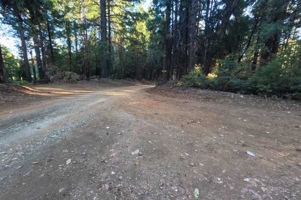
Weed Point - FS 20N14
Weed Point (Forest Service Road 20N14) serves as a scenic backcountry connector in the Plumas National Forest, creating a convenient dirt link between Forest Road 21 and the trail network along Peterson Ridge. The track traverses a lush, verdant woodland dominated by towering sugar pines, Douglas fi...
Learn more about Weed Point - FS 20N14
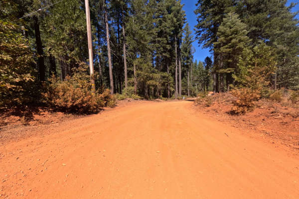
Pinkard Creek - FS 20N09
Operating as a highly scenic and dynamic backcountry connector, Pinkard Creek - FS 20N09 links the lower valleys near Lost Creek Dam Road with the upper alpine stretches of Mooreville Ridge Road. Outdoor recreationists, anglers, and sightseers frequently utilize this passage to access the picturesqu...
Learn more about Pinkard Creek - FS 20N09
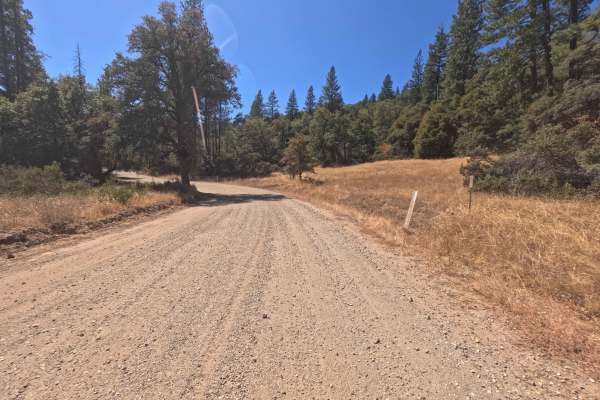
North Bloomfield Graniteville Road - Western Segment
Operating as a highly scenic and historic backcountry connector, the unpaved western segment of North Bloomfield Graniteville Road begins right as the route crosses the Yuba River. From the river crossing, the pathway travels steadily northeast, guiding explorers through the rustic settlement of Lak...
Learn more about North Bloomfield Graniteville Road - Western Segment
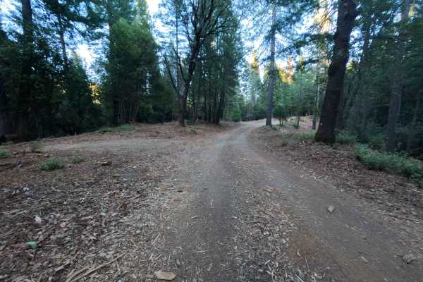
Cyprus - FS 20N81
Cyprus (Forest Service Road 20N81) is a peaceful, out-and-back woodland spur accessed directly off Peterson Ridge Road (FS 20N04). Winding through the Plumas National Forest, the track is enveloped by a healthy, dense canopy of mature pines, cedar, and fir trees carpeted with natural duff. This sing...
Learn more about Cyprus - FS 20N81
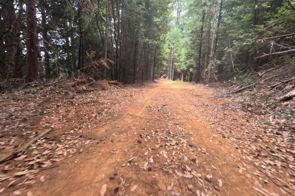
Pourier Creek Spur - FS 34-003
Branching off Forest Service Road 34 and pointing travelers back toward Highway 49, the Pourier Creek Spur (FS 34-003) operates as a wide, well-traveled dirt route reaching into the Tahoe National Forest. The trail wanders through a heavily timbered, shady evergreen woodland blanketed with a thick l...
Learn more about Pourier Creek Spur - FS 34-003
Beginner ATV trails near Linda, California
Explore ATV-friendly trails near you. These trails are accessible for vehicles up to 50 inches wide, perfect for ATVs and smaller off-road machines.
Dry Creek - FS 19N25
Dry Creek - FS 19N25 is a peaceful connector route linking Oregon Hill Road to Indiana-New York Road, offering convenient passage deeper into the surrounding backcountry. Set within the lush, mature conifer and hardwood canopy of Plumas National Forest, the corridor travels beneath towering ponderos...
Learn more about Dry Creek - FS 19N25
Plantation - FS 19N16
Plantation - FS 19N16 is a scenic connector loop that branches off Forest Service Road 21, circumnavigates a sprawling tract of backcountry timber, and rejoins Road 21 at an established paved junction. Situated within Plumas National Forest, the corridor traverses a lush woodland environment dominat...
Learn more about Plantation - FS 19N16
Milk Ranch - FS 19N04
Milk Ranch - FS 19N04 serves as an essential backcountry connector linking Plantation Road - FS 19N16 to Forest Service Road 21, providing dependable throughput across the undulating foothill ridges. Situated in Plumas National Forest, the track winds through a lush, vibrant canopy of towering ponde...
Learn more about Milk Ranch - FS 19N04
Pike CO Peak - FS 19N17
Pike CO Peak - FS 19N17 functions as a scenic mountain connector linking Forest Service Road 21 with Plantation - FS 19N16, offering elevated throughput across the forested crest of Pike County Peak. Situated in Plumas National Forest, the route travels through a lush, dense woodland of towering pon...
Learn more about Pike CO Peak - FS 19N17
Beginner UTV/side-by-side trails near Linda, California
Find UTV and side-by-side trails near you. These trails accommodate vehicles up to 60 inches wide, ideal for UTVs, side-by-sides, and wider off-road rigs.
Dry Creek - FS 19N25
Dry Creek - FS 19N25 is a peaceful connector route linking Oregon Hill Road to Indiana-New York Road, offering convenient passage deeper into the surrounding backcountry. Set within the lush, mature conifer and hardwood canopy of Plumas National Forest, the corridor travels beneath towering ponderos...
Learn more about Dry Creek - FS 19N25
Plantation - FS 19N16
Plantation - FS 19N16 is a scenic connector loop that branches off Forest Service Road 21, circumnavigates a sprawling tract of backcountry timber, and rejoins Road 21 at an established paved junction. Situated within Plumas National Forest, the corridor traverses a lush woodland environment dominat...
Learn more about Plantation - FS 19N16
Milk Ranch - FS 19N04
Milk Ranch - FS 19N04 serves as an essential backcountry connector linking Plantation Road - FS 19N16 to Forest Service Road 21, providing dependable throughput across the undulating foothill ridges. Situated in Plumas National Forest, the track winds through a lush, vibrant canopy of towering ponde...
Learn more about Milk Ranch - FS 19N04
Pike CO Peak - FS 19N17
Pike CO Peak - FS 19N17 functions as a scenic mountain connector linking Forest Service Road 21 with Plantation - FS 19N16, offering elevated throughput across the forested crest of Pike County Peak. Situated in Plumas National Forest, the route travels through a lush, dense woodland of towering pon...
Learn more about Pike CO Peak - FS 19N17
The onX Offroad Difference
onX Offroad combines trail photos, descriptions, difficulty ratings, width restrictions, seasonality, and more in a user-friendly interface. Available on all devices, with offline access and full compatibility with CarPlay and Android Auto. Discover what you're missing today!
Open Trail Map