Trail Overview
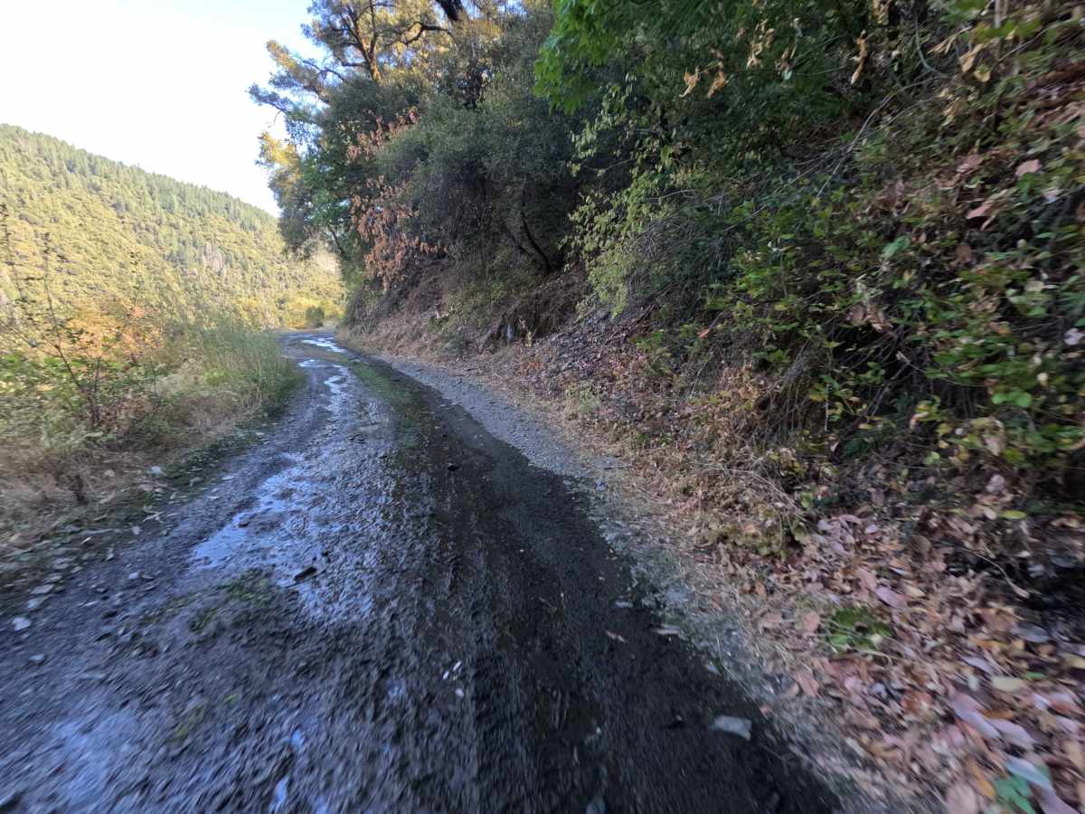
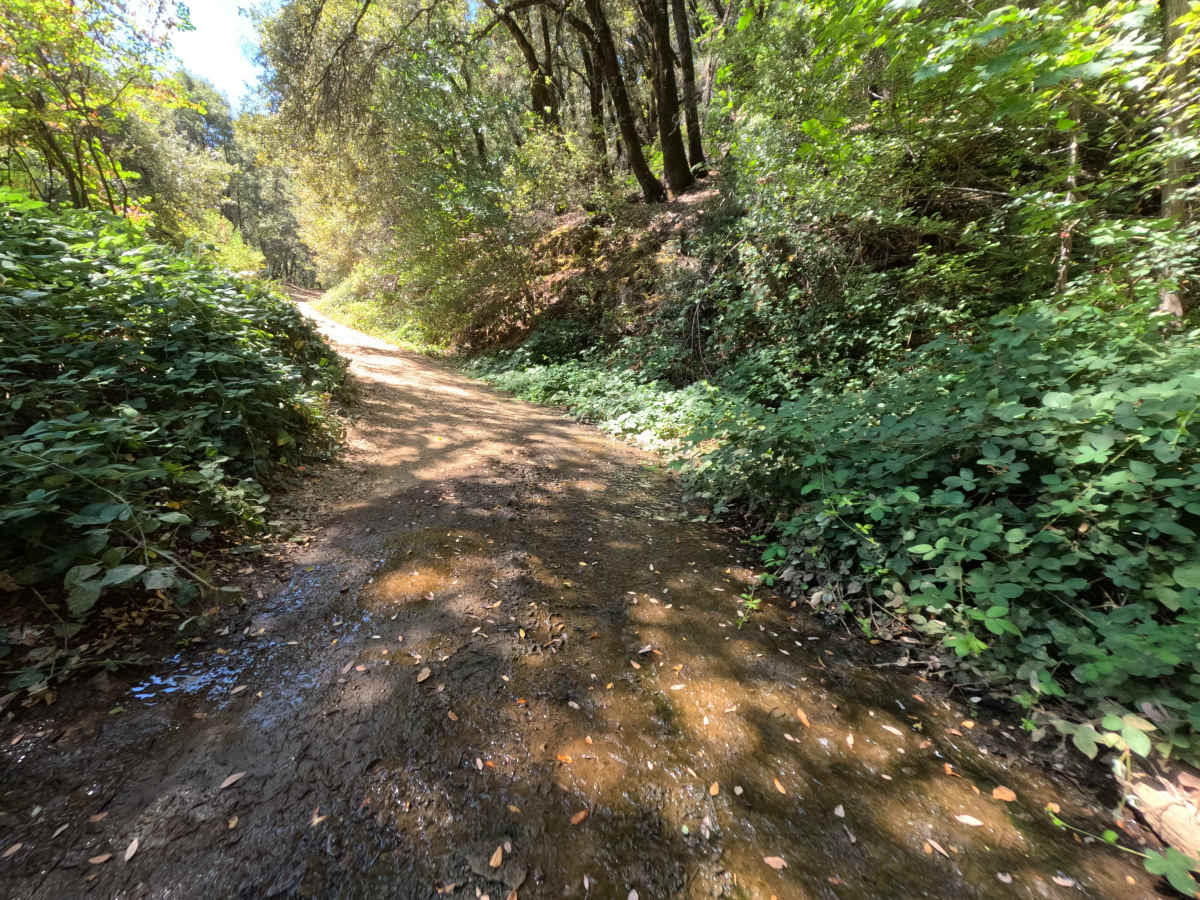
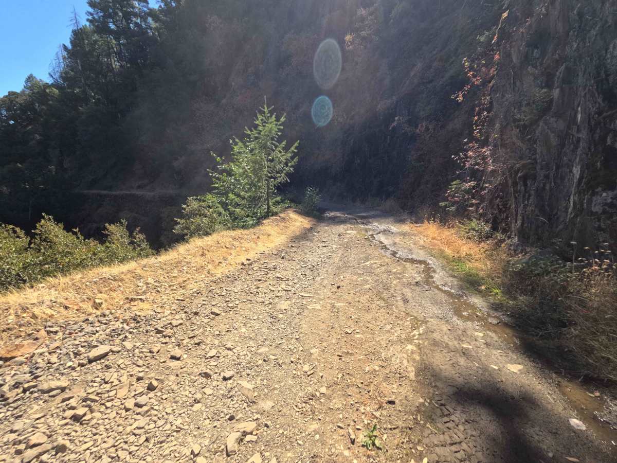
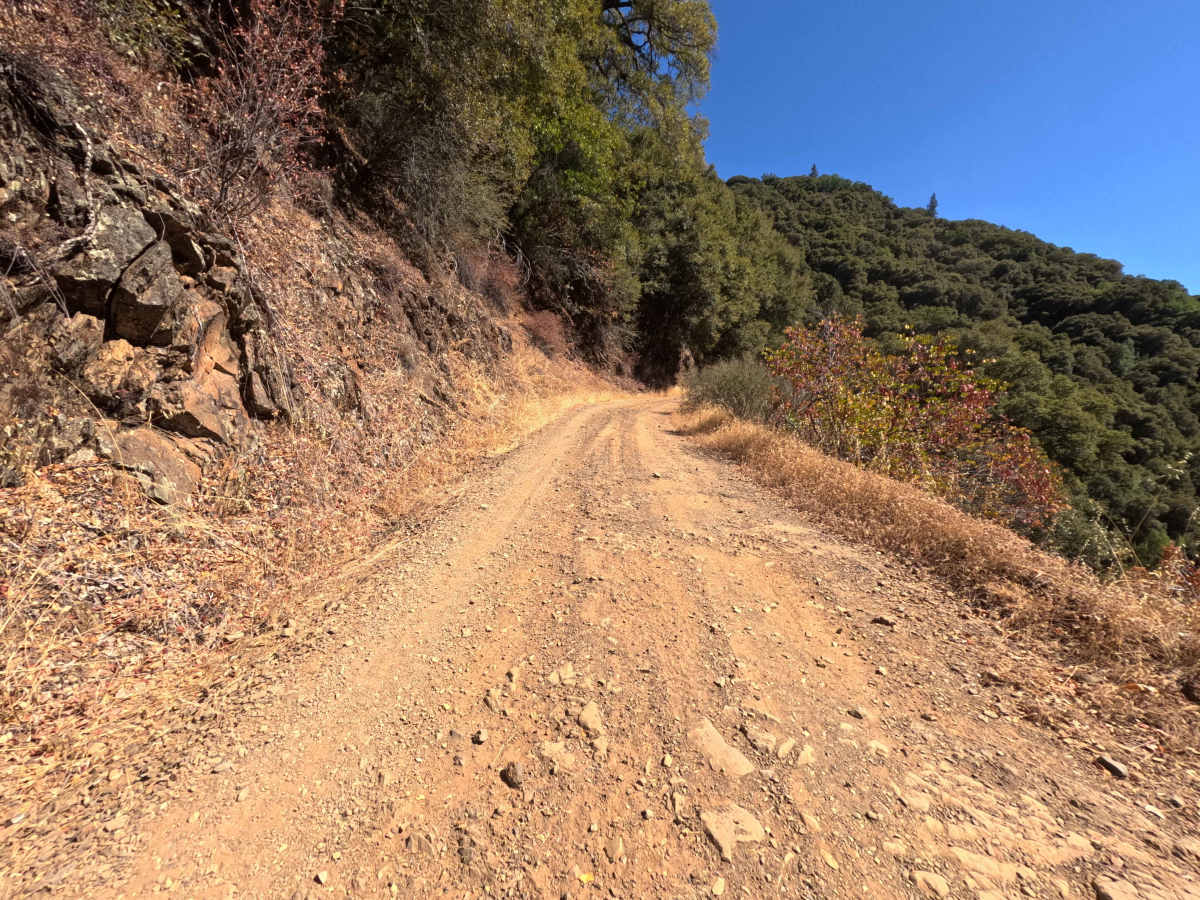
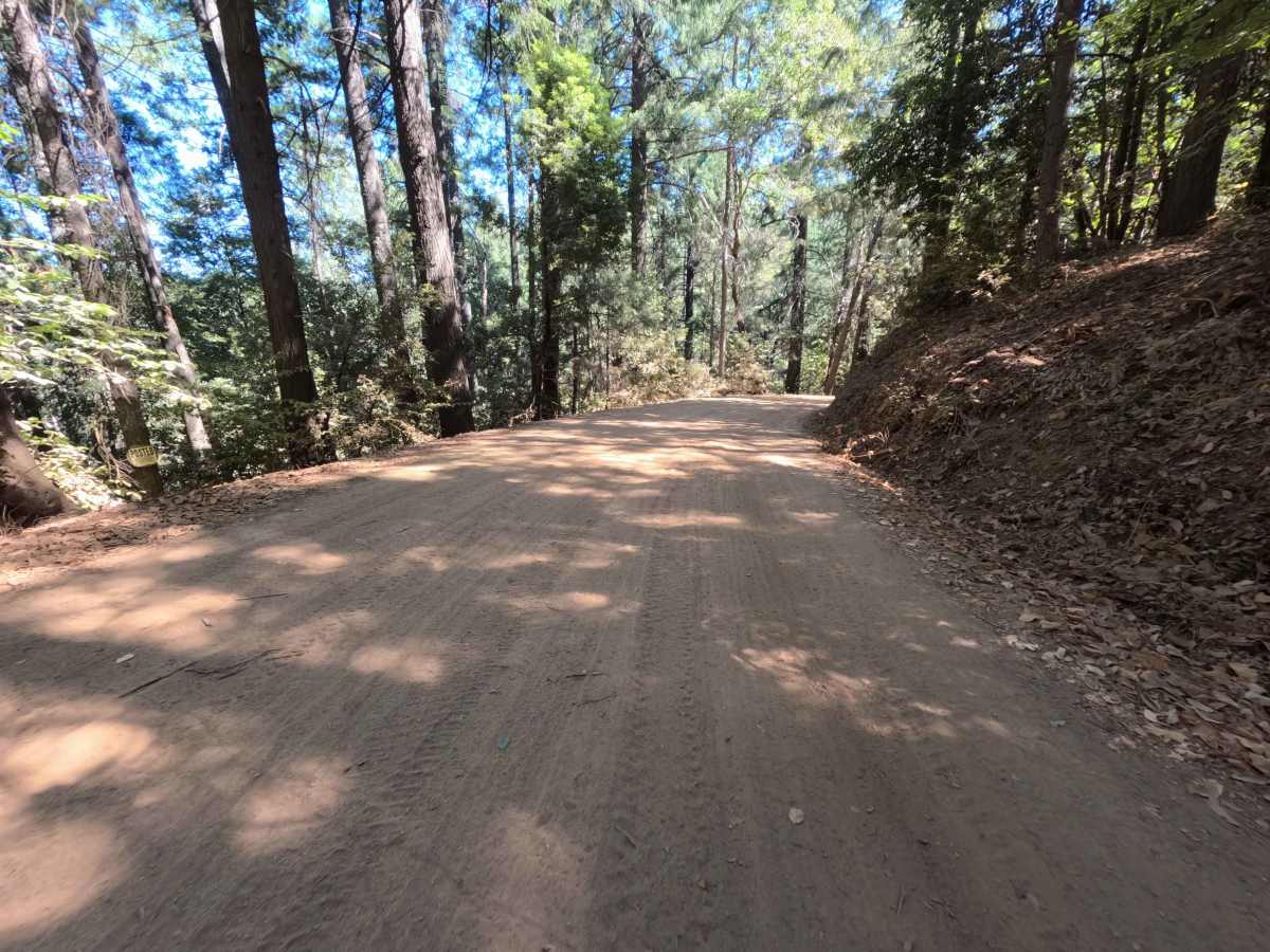
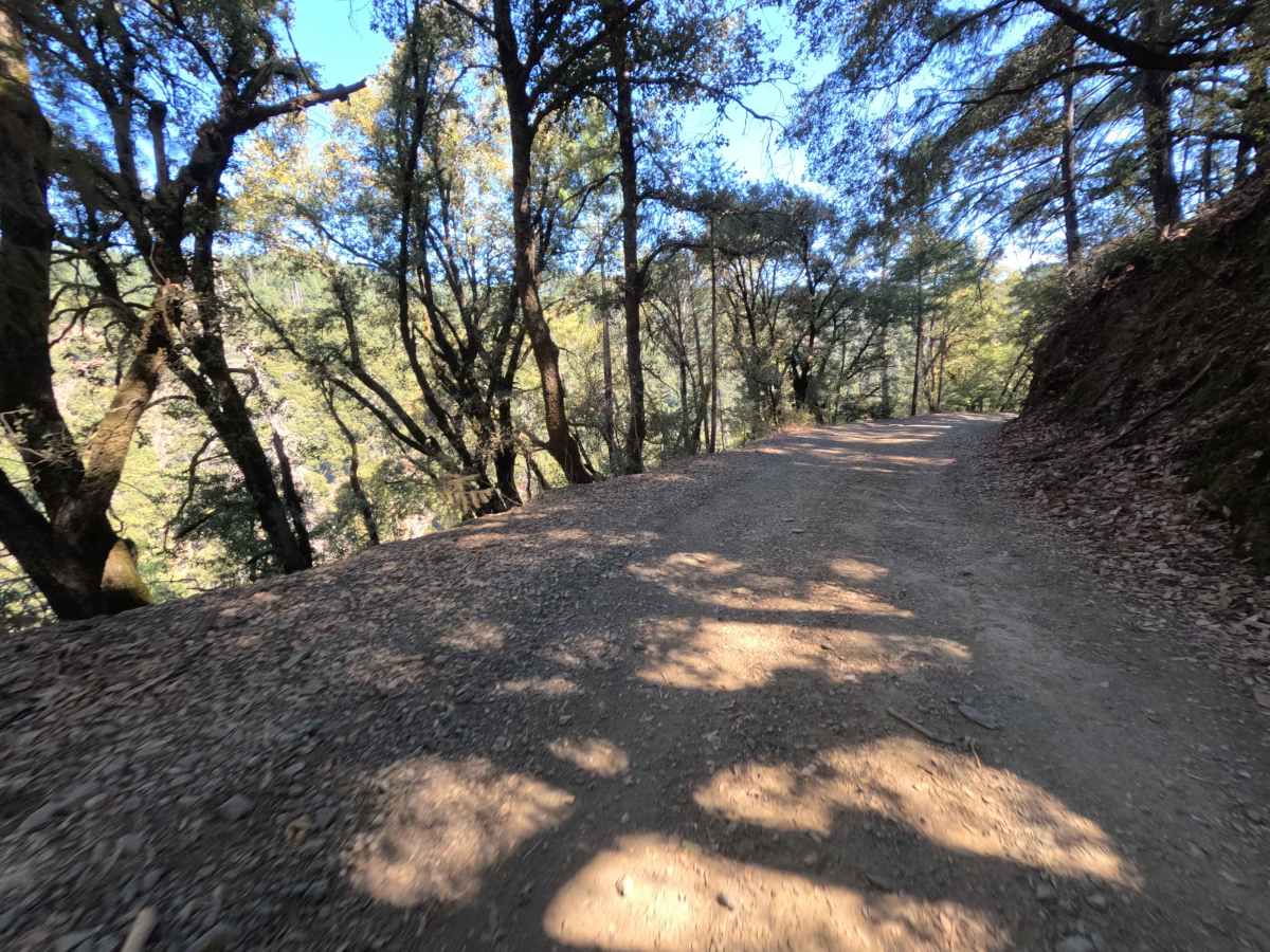
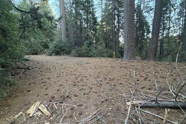
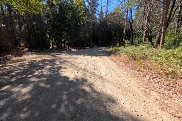
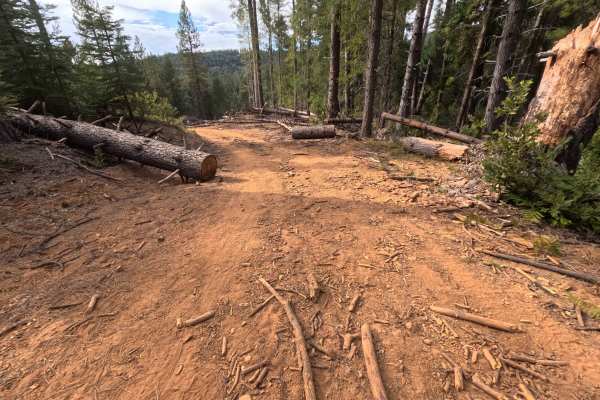
Tyler Foote Crossing Road serves as a prominent, historic connector trail linking the high country down into the remote, historic mining town of Alleghany, ultimately ending at the intersection with Miners Street. Functioning as a vital thoroughfare rather than a simple spur, the route travels through a dynamic, lush canyon environment dotted with dense evergreen timber, oak woodlands, and steep, brushy ravines within the Tahoe National Forest. The road surface transitions from a wide, graded dirt and gravel track to a narrow, rocky cliff-side shelf, earning an overall difficulty rating of 3. Outdoor enthusiasts and overland travelers frequent this route to access multiple spacious dispersed campsites featuring stone fire rings, take in sweeping panoramic views of the surrounding valleys from the high ridges, and utilize a scenic backcountry backdoor into the Alleghany area.
Difficulty
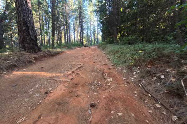
Rated as a level 3, this route features a mix of smooth, wide dirt and notably rougher, narrow shelf road sections where yielding to oncoming traffic is difficult. The primary obstacles include an embedded, rocky creek crossing with muddy pooling, alongside deeply rutted, bumpy ascents that demand attentive wheel placement. The shelf road segments present a steep drop-off on one side and a sheer rock wall on the other, testing spatial awareness. The track also contains sustained, steep climbs characterized by loose gravel and off-camber dips. Proceeding at a measured, slow pace while carefully straddling the deeper ruts will preserve undercarriage clearance and ensure a successful transit through the roughest portions of the canyon.