Trail Overview
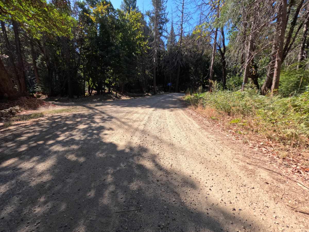
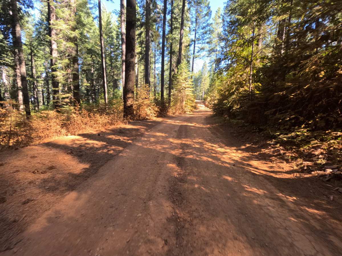
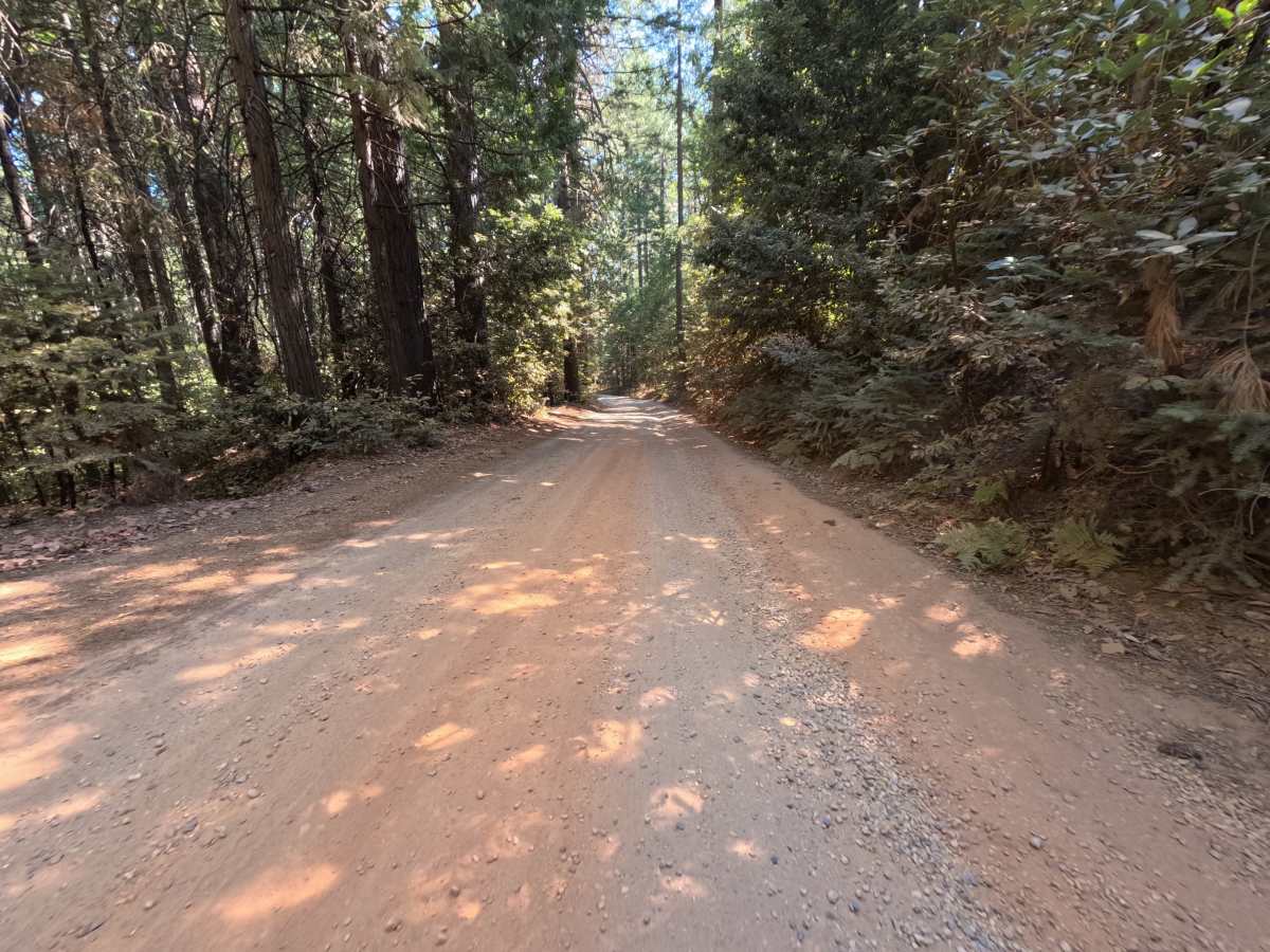
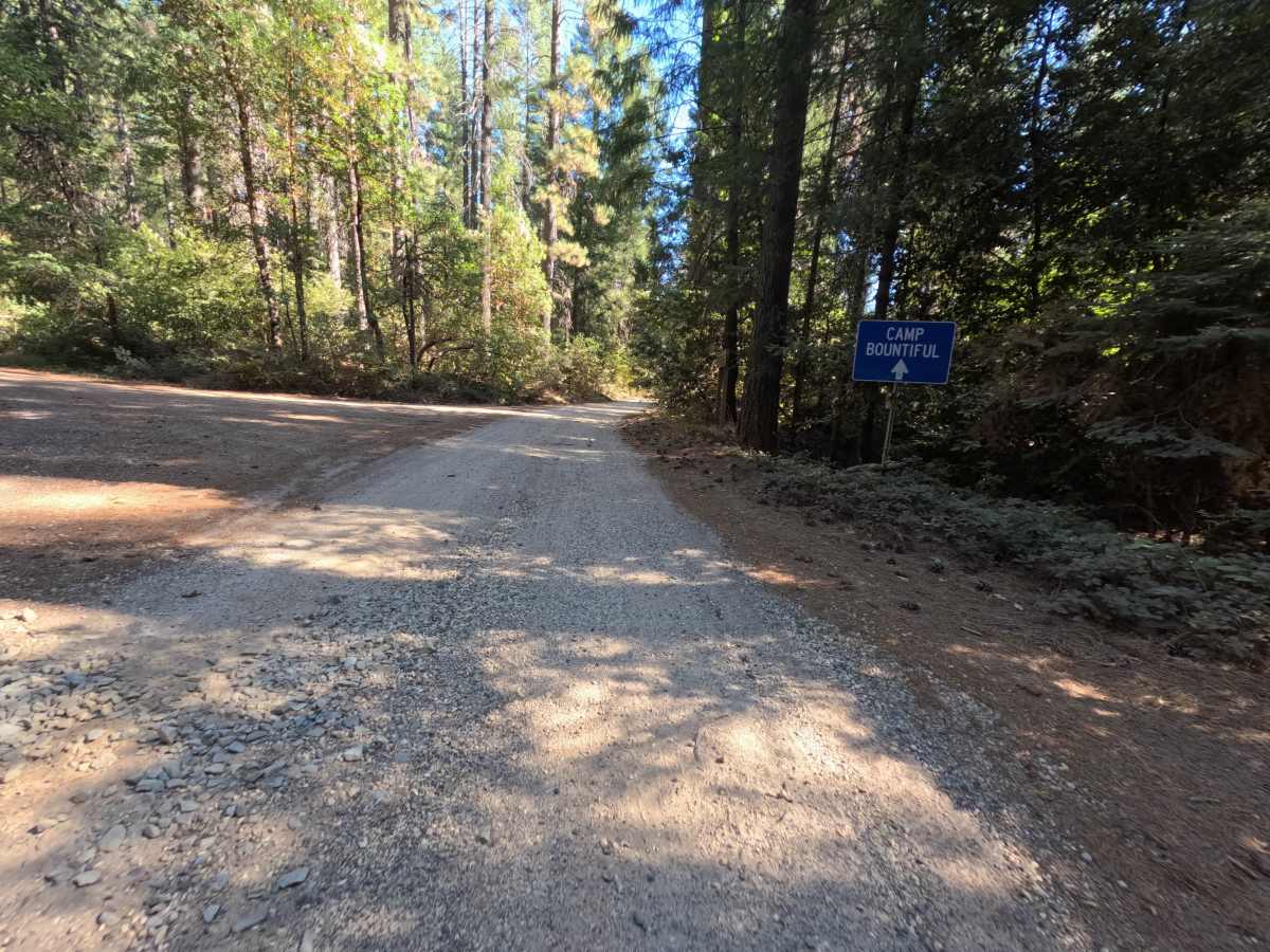
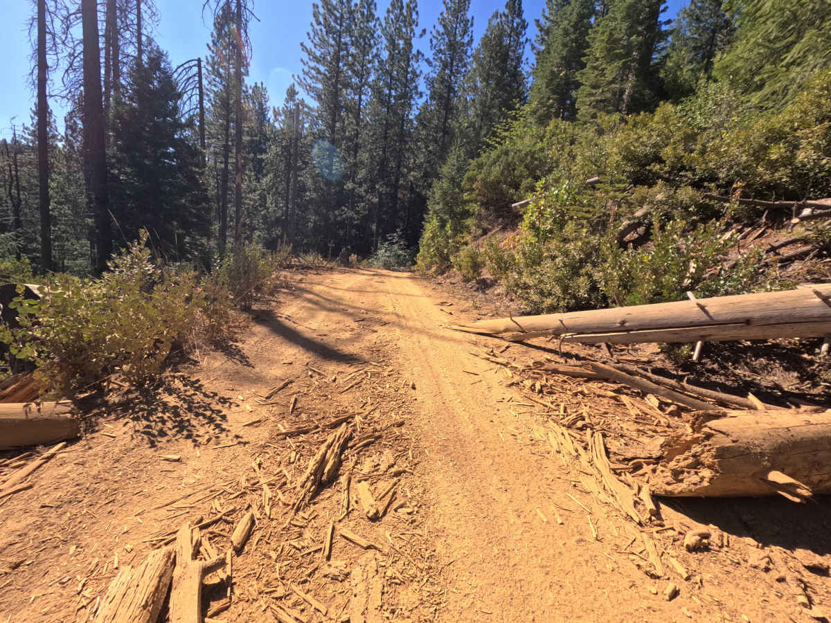
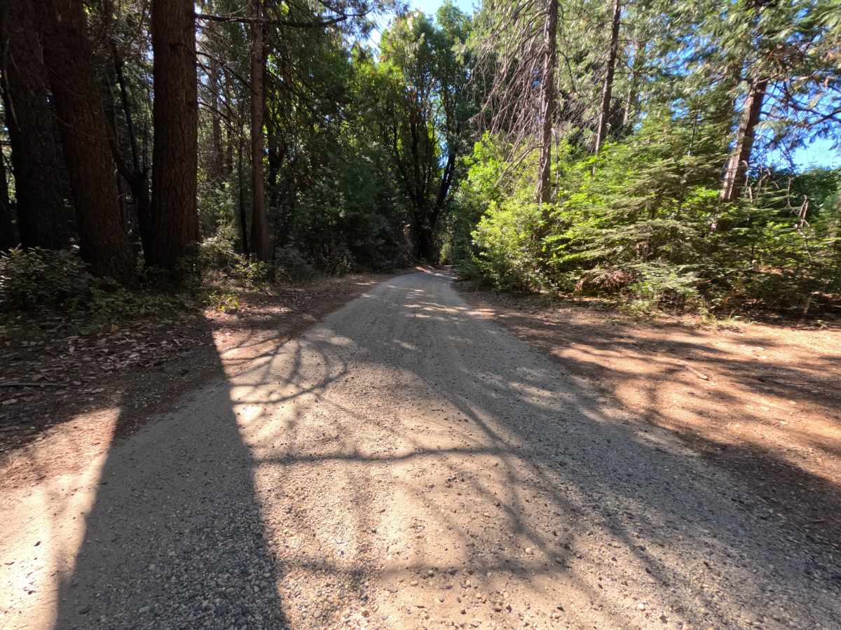
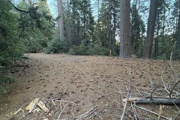
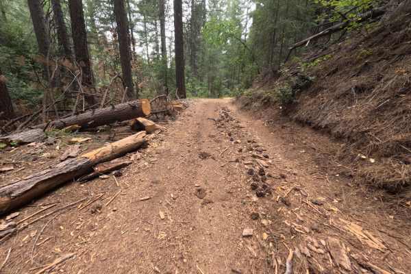
Bear Trap Springs Road - FS 69 is accessed directly from Cruzon Grade Road and functions as a well-traveled connector linking into the surrounding network of forest roads, ending at the National Forest boundary just over six miles in. The route passes through mixed conifer forest typical of Tahoe National Forest, with reddish native soil giving way to lighter, well-compacted gravel in stretches further along. It runs flat and lightly used, showing only minimal potholing for its full length. Dispersed camping is available near the entrance with room for several vehicles, and smaller pull-off sites suitable for one or two rigs appear a few miles in. A signed junction partway along offers an alternate route for those exploring the area further. No overlooks or technical obstacles mark the drive; it reads as an easy, scenic through-route rather than a destination trail in its own right.
Difficulty
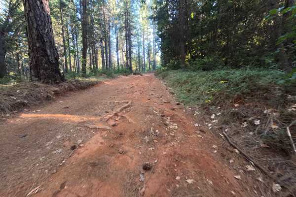
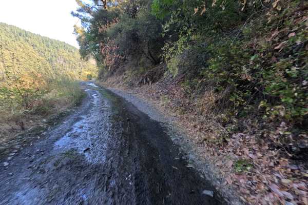
Rates a 1, reflecting the road's smooth, well-traveled surface with essentially no obstacles along its length. The GPX confirms a wide, well-graded route, and the mapper's note of only minimal potholing is backed up by the photos: consistent tread, clear sightlines, and no ruts, ledges, or narrow sections to navigate anywhere along the six miles. A modest elevation gain keeps the grade gently rolling rather than steep. Nothing here pushes the rating higher, since there are no water crossings, tight passages, or technical features that would challenge a stock vehicle.

 Offroad