Trail Overview
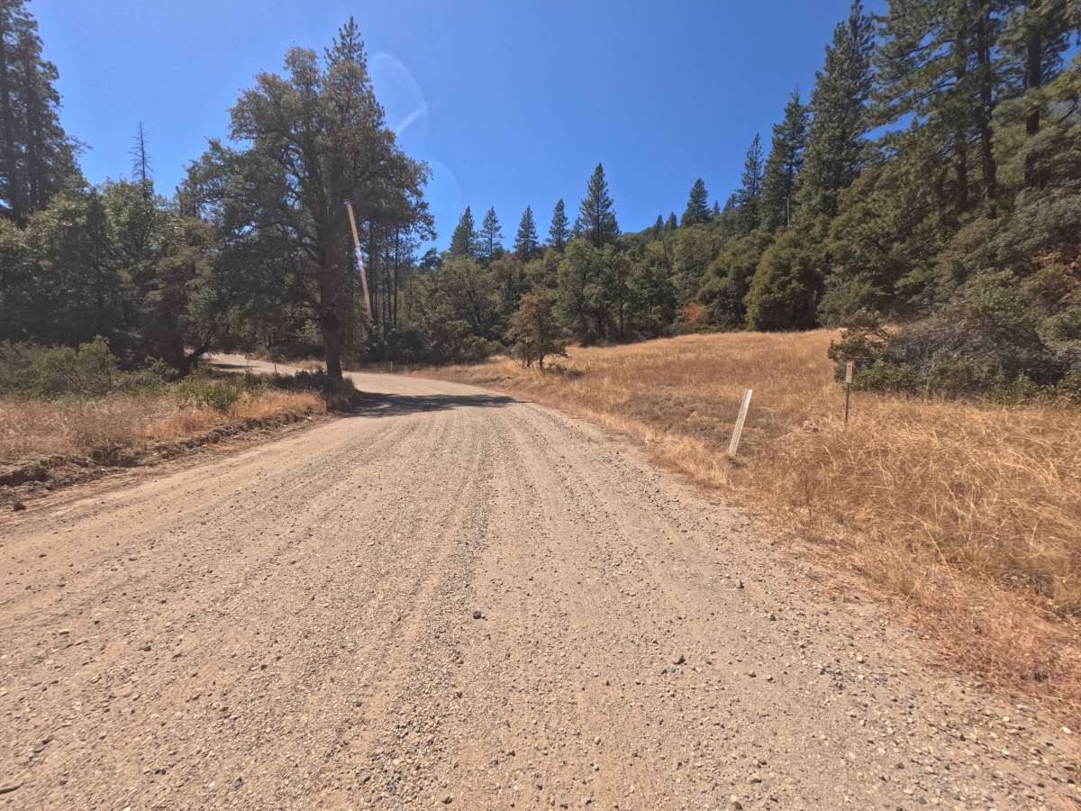
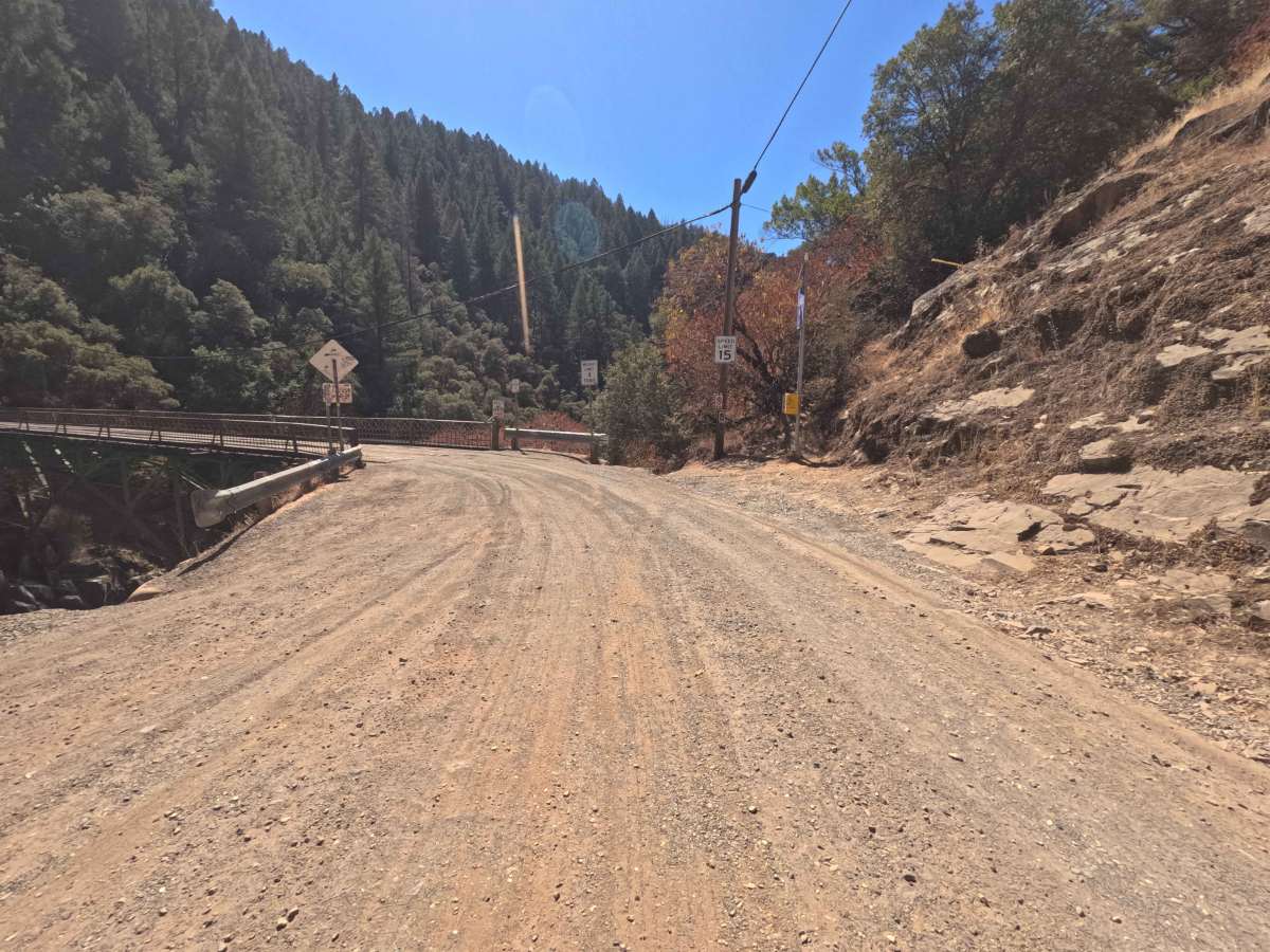
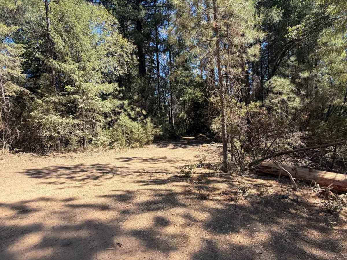
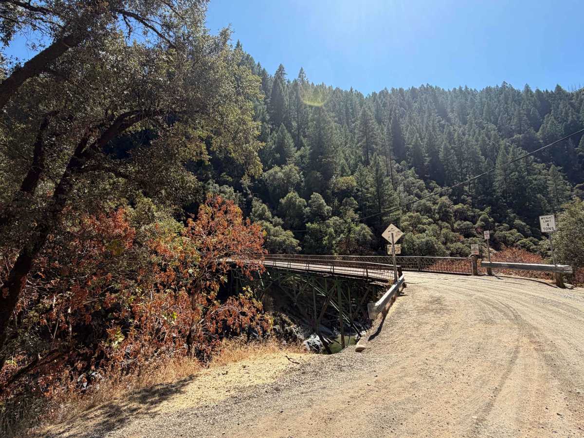
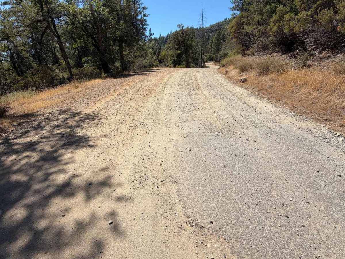
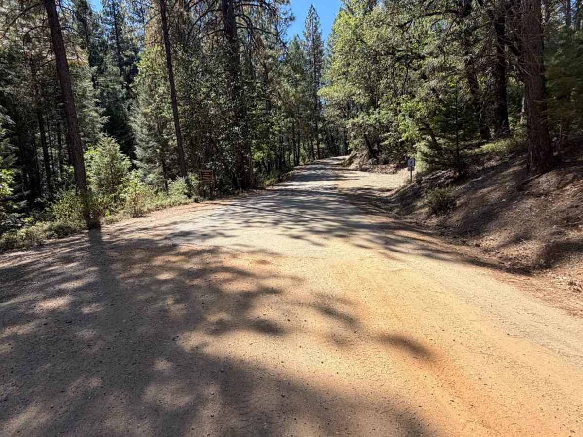
Operating as a highly scenic and historic backcountry connector, the unpaved western segment of North Bloomfield Graniteville Road begins right as the route crosses the Yuba River. From the river crossing, the pathway travels steadily northeast, guiding explorers through the rustic settlement of Lake City and directly into the heart of Malakoff Diggins State Historical Park before returning to pavement at North Bloomfield. The surrounding environment presents a beautiful mixture of dense, mature evergreen forests and wide, sun-drenched grassy clearings managed by the California State Parks system. Because the trail intersects major historical landmarks, it is frequently utilized by sightseers, history buffs, and campers looking to explore the region's famous hydraulic mining sites. The driving surface consists of a wide, two-lane graded dirt and gravel foundation that earns a highly accessible Grade 1 difficulty rating. With a remarkably smooth base and plenty of room to confidently pass oncoming traffic, the route provides a relaxing, visually rewarding journey through the historic California woodlands.
Difficulty
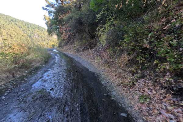
Earning an effortless Grade 1 difficulty rating, this wide dirt and gravel connector road presents a consistently smooth and straightforward driving experience from start to finish. Severe off-road challenges such as deep mud bogs, intimidating boulder crawls, or treacherous washouts are entirely absent from the well-graded surface. The primary terrain consideration is simply managing the occasional patches of washboarding and loose surface dust that can accumulate during prolonged dry spells. The firm, reliable foundation and generous two-lane width allow for an exceptionally comfortable, easy-rolling journey under normal weather conditions, ensuring a safe and pleasant passage for anyone visiting the historical parklands.

 Offroad