Trail Overview
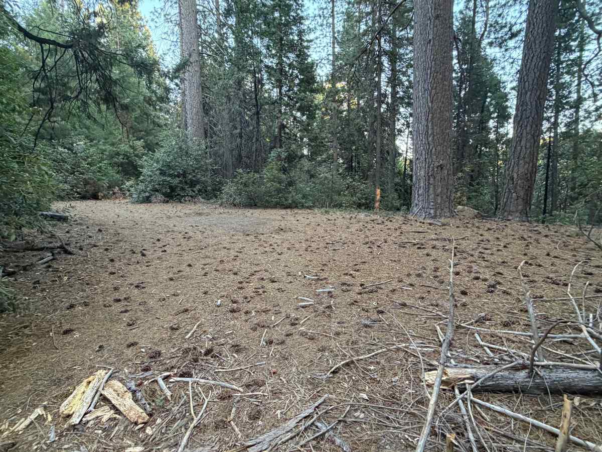
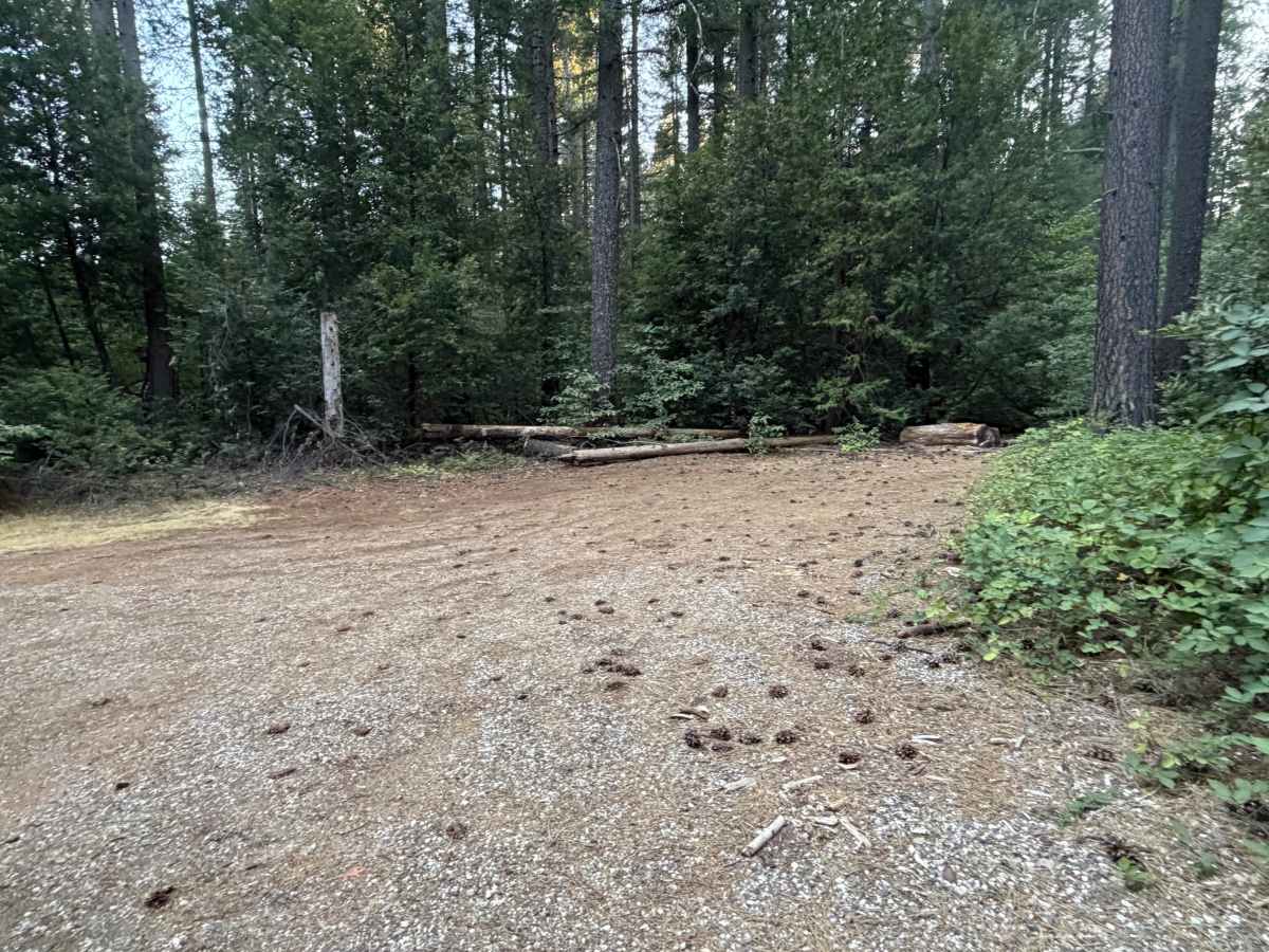
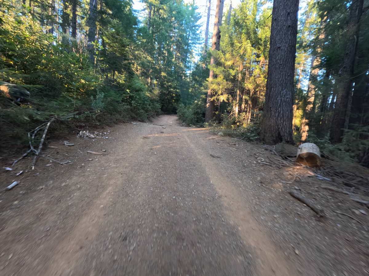
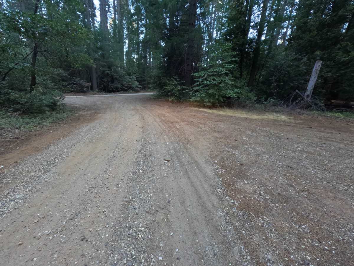
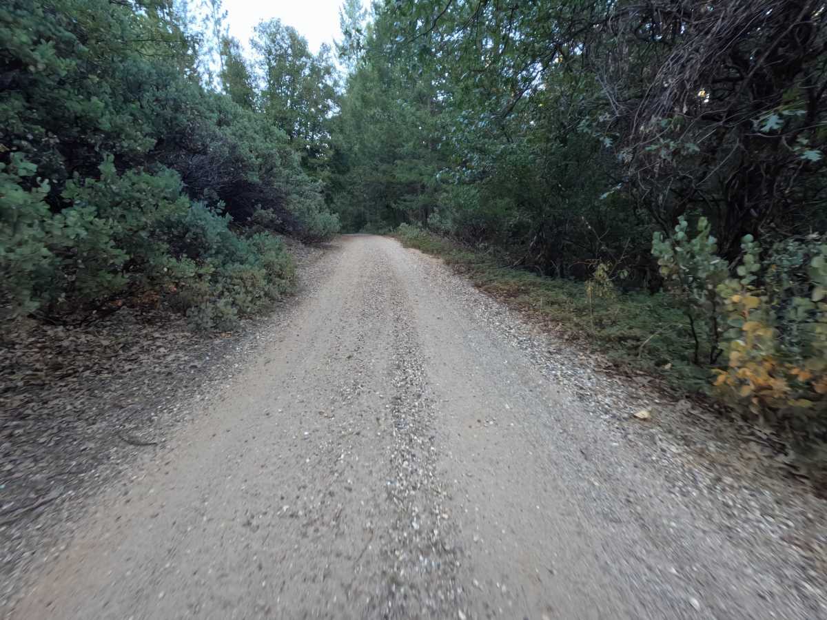
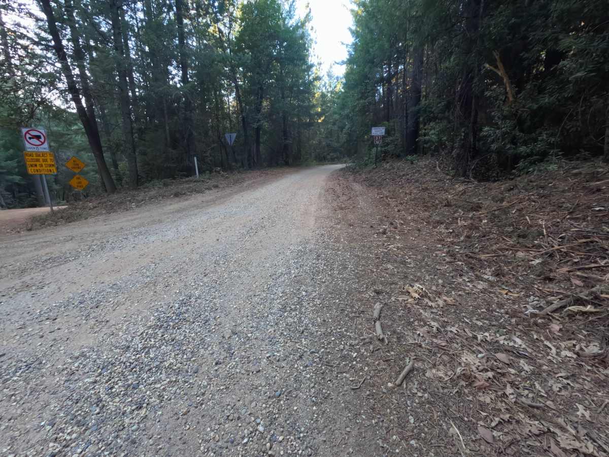
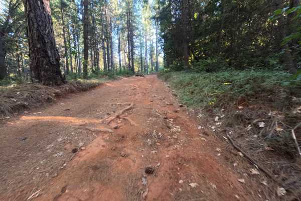
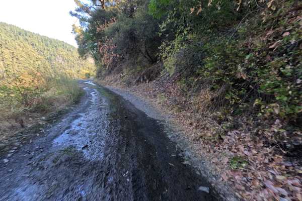
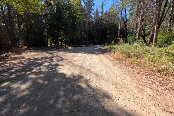
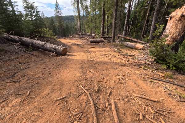
Grizzly Ridge - FS 37 branches off Tyler Foote Crossing Road as a wide single-track dirt and gravel road, climbing steadily to connect with Bear Trap Springs Road on the other end. The route gains roughly 850 feet of elevation across its 3.6-mile length, a moderate, sustained climb that lives up to the ridge in its name. Along the way, several old spur roads branch off toward dispersed camping areas, including pullouts at roughly 0.7 miles, 2 miles, and 3.5 miles that can accommodate anywhere from two to five vehicles. The main route itself stays a consistent dirt and gravel surface throughout, winding through mixed conifer forest with no notable obstacles. As a through-connector rather than a dead-end spur, Grizzly Ridge links two named roads rather than turning back the way it came. Best travel is in Summer and Fall.
Difficulty
Grizzly Ridge - FS 37 rates a 1, the easiest classification on the scale. The dirt and gravel surface stays smooth and well-graded across the full climb, and while the route gains meaningful elevation on its way up the ridge, the grade stays gradual and steady rather than steep or technical. Nothing here challenges traction or clearance, and the old spur roads branching off to the dispersed camp areas don't factor into the main route's difficulty. The rating holds at 1 because there are no obstacles, ruts, or crossings anywhere along this connector, making it approachable for nearly any vehicle despite its length and elevation gain.