Trail Overview
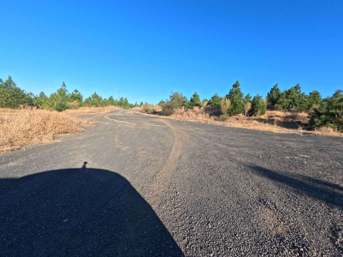
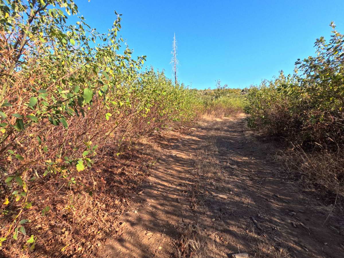
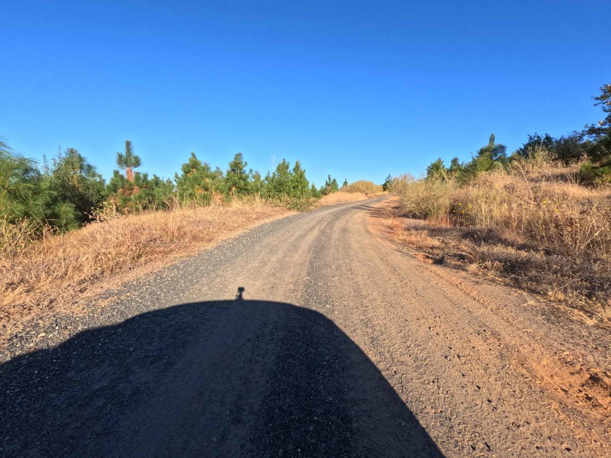
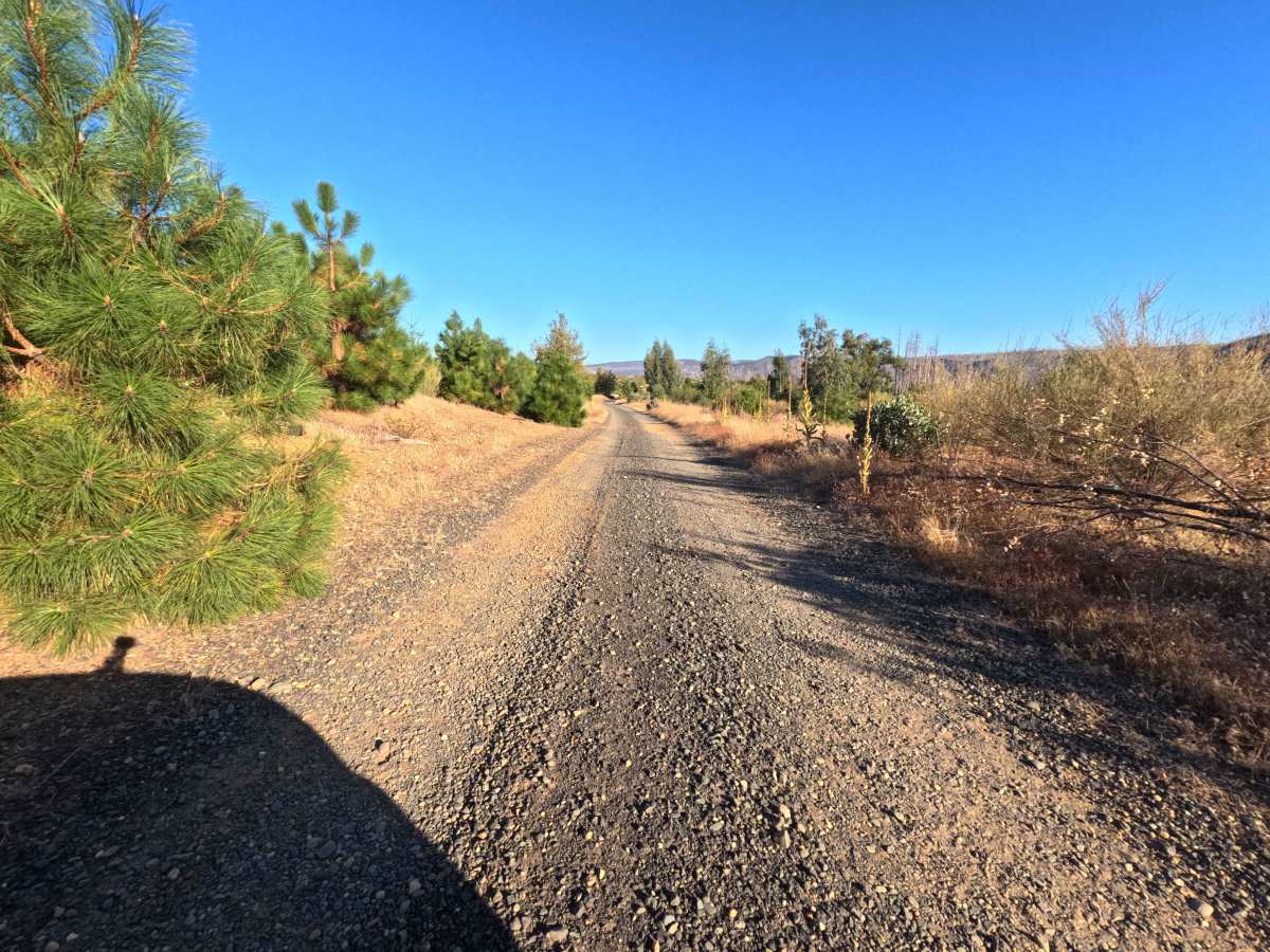
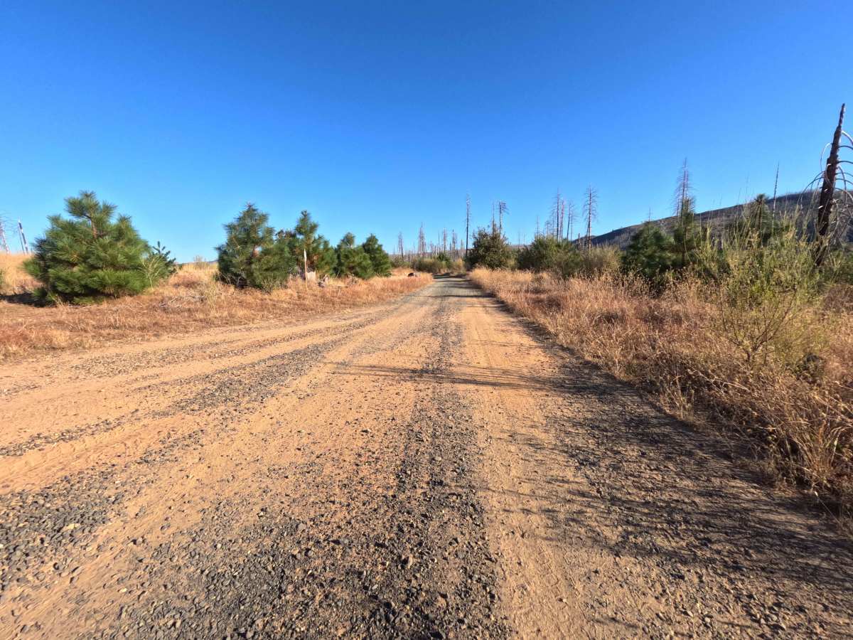
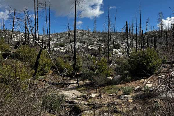
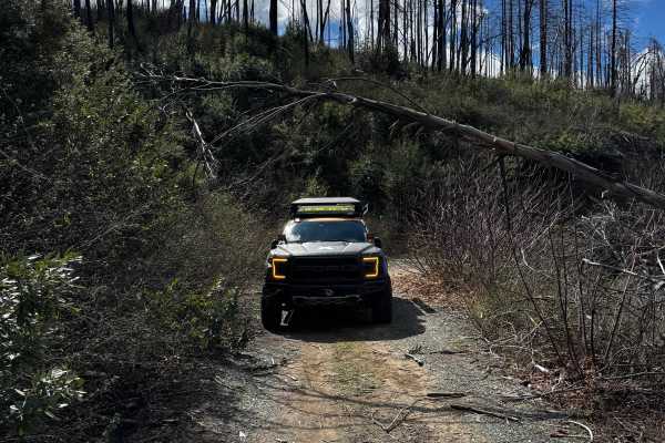
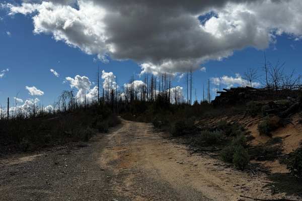
Branching directly from the primary access along Bryant Ravine, Falls Tie (FS 20N60) serves as a brief, out-and-back single-track gravel spur winding high along a remote mountain ridge. The route travels through a dynamic, severely impacted landscape within the Plumas National Forest, exposing overland travelers to a stark environment actively regenerating from the intense devastation of the 2020 North Complex Fire. With the mature evergreen canopy burned away, the elevated pathway offers sweeping, unobstructed views of the surrounding valleys, charred timber snags, and thick understory brush. The driving surface consists of a deteriorating dirt and gravel track carrying a moderate Level 3 difficulty rating. Because this side route does not connect to any major hiking trailheads or deeper forest networks, it primarily serves as a quiet detour for explorers seeking rugged isolation. The journey is abruptly cut short at the 1.2-mile mark, where thick, encroaching vegetation and dense woodland debris fully reclaim the trail, preventing any further forward progress and forcing a turnaround.
Difficulty
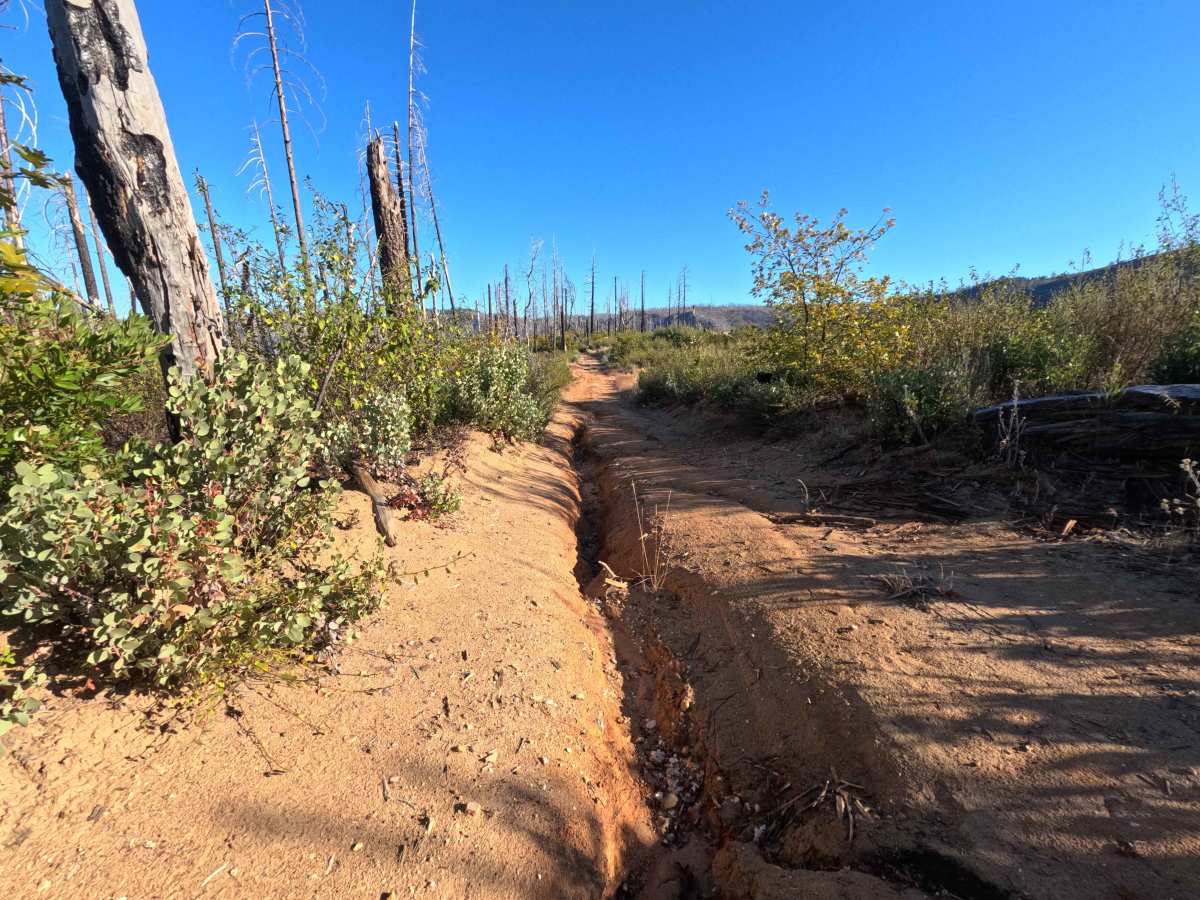
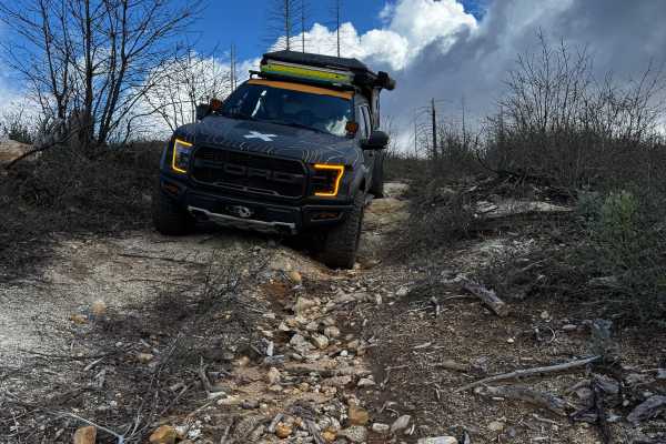
Commanding a moderate Level 3 difficulty rating, this single-track spur features a few notable terrain challenges that require slow, calculated navigation. While the initial stretch offers a relatively straightforward gravel climb, operators must confront a severe, deep erosion rut located at the one-mile mark. This prominent washout creates a hazardous choke point that forces vehicles into a narrow, briefly off-camber position along the ridgeline, demanding precise tire placement to avoid sliding into the trench or sustaining undercarriage damage. Because the surrounding vegetation consists of actively regenerating post-fire brush, drivers should also anticipate moderate foliage rub as nature slowly reclaims the final segment of the pathway. To safely clear the off-camber washout before reaching the overgrown terminus, operators must utilize an elevated ground clearance setup and proceed with extreme caution under normal, dry seasonal conditions.

 Offroad