Trail Overview
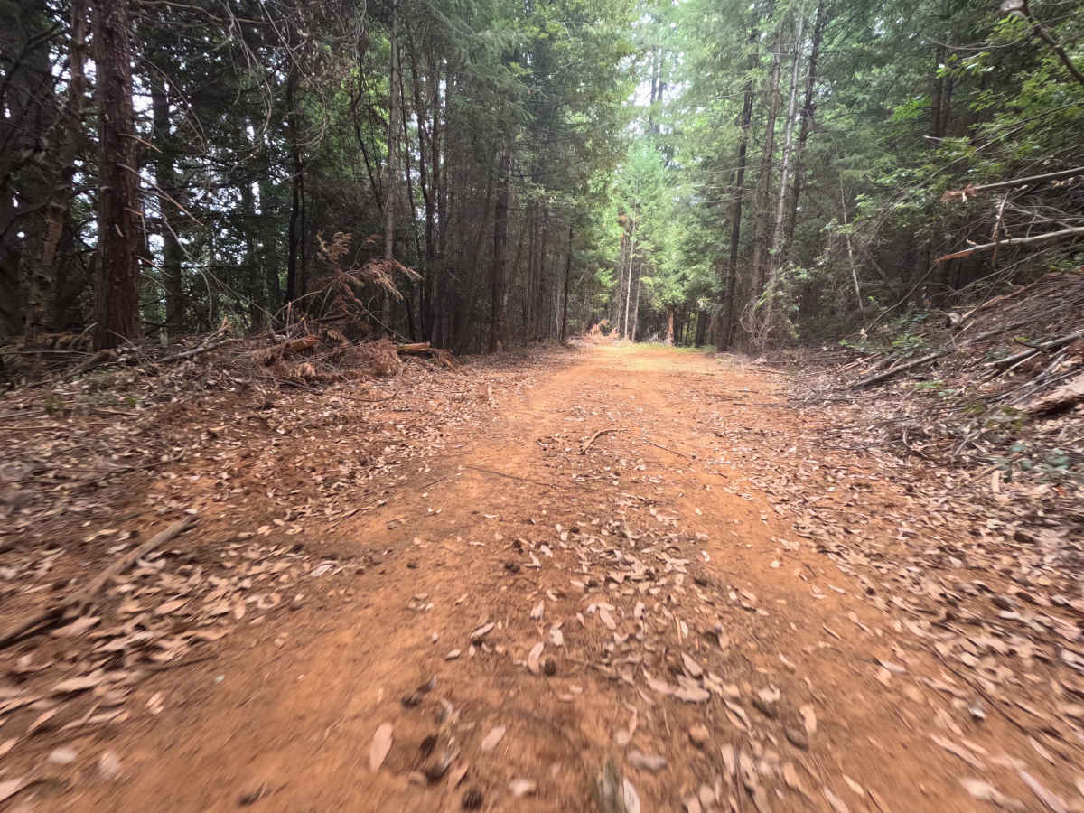
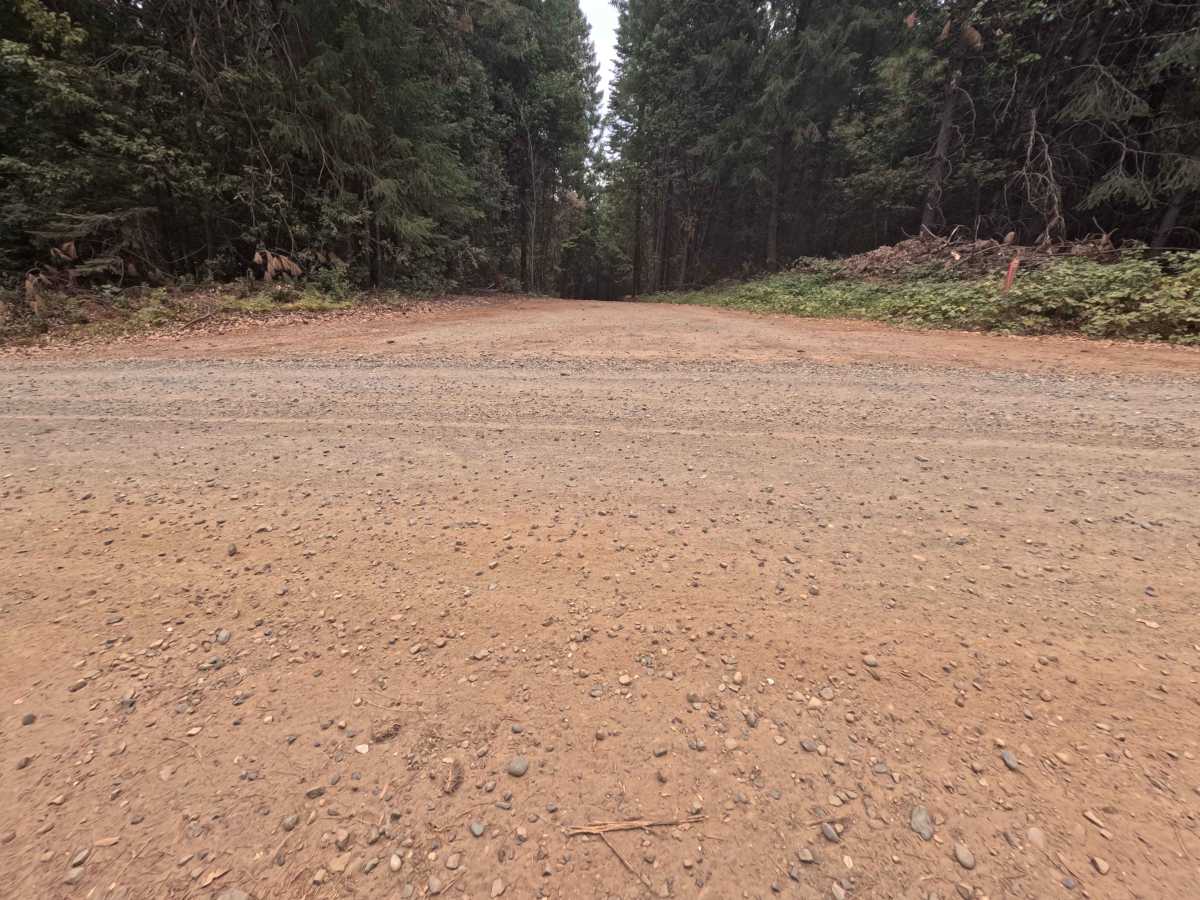
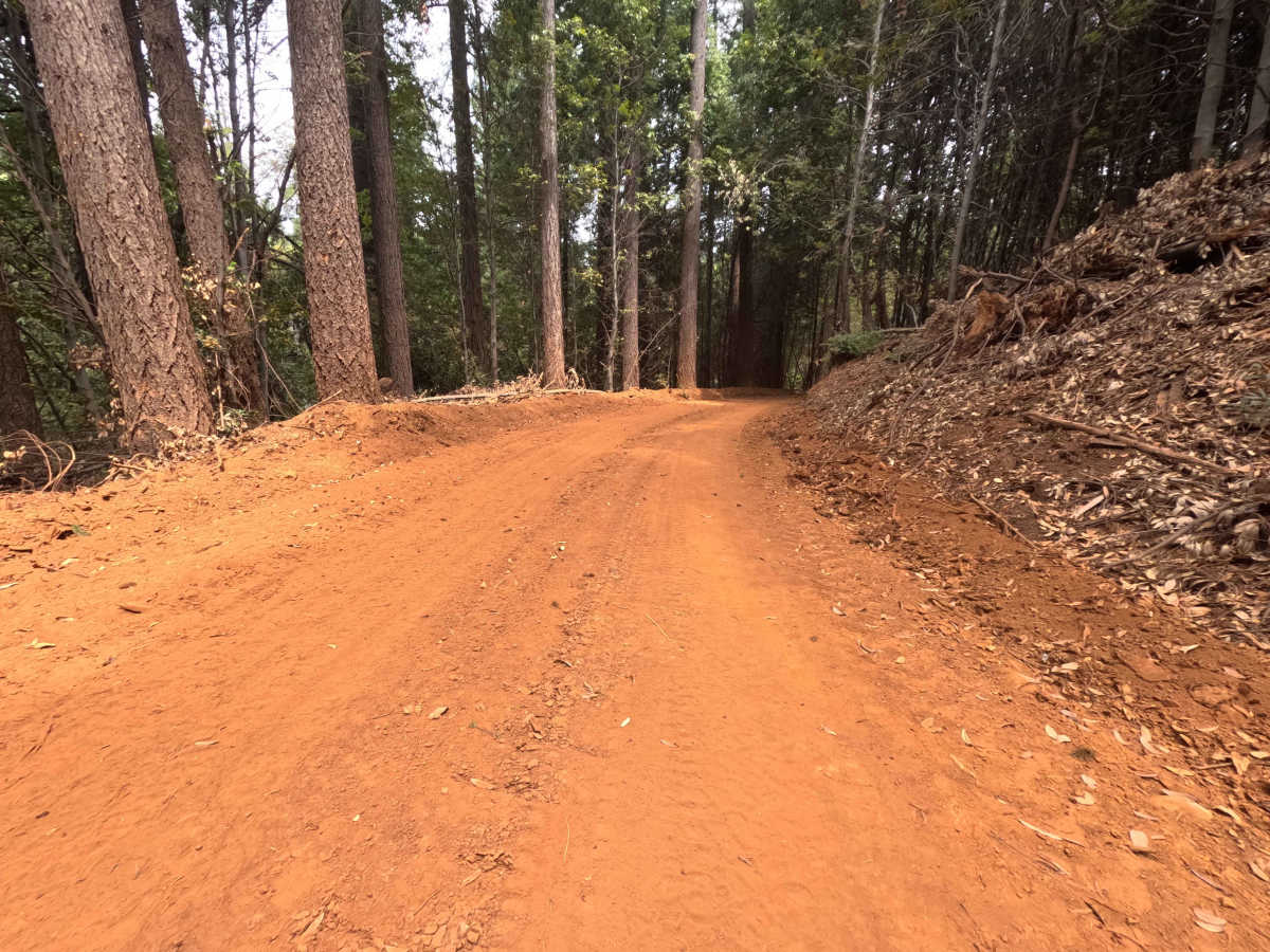
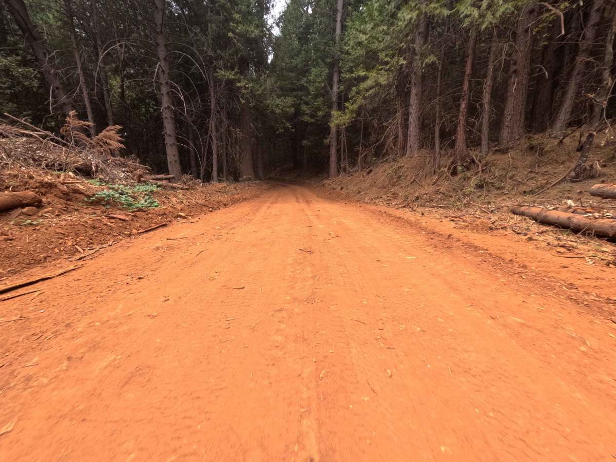
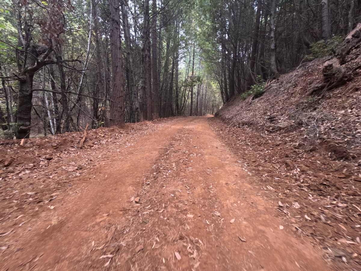
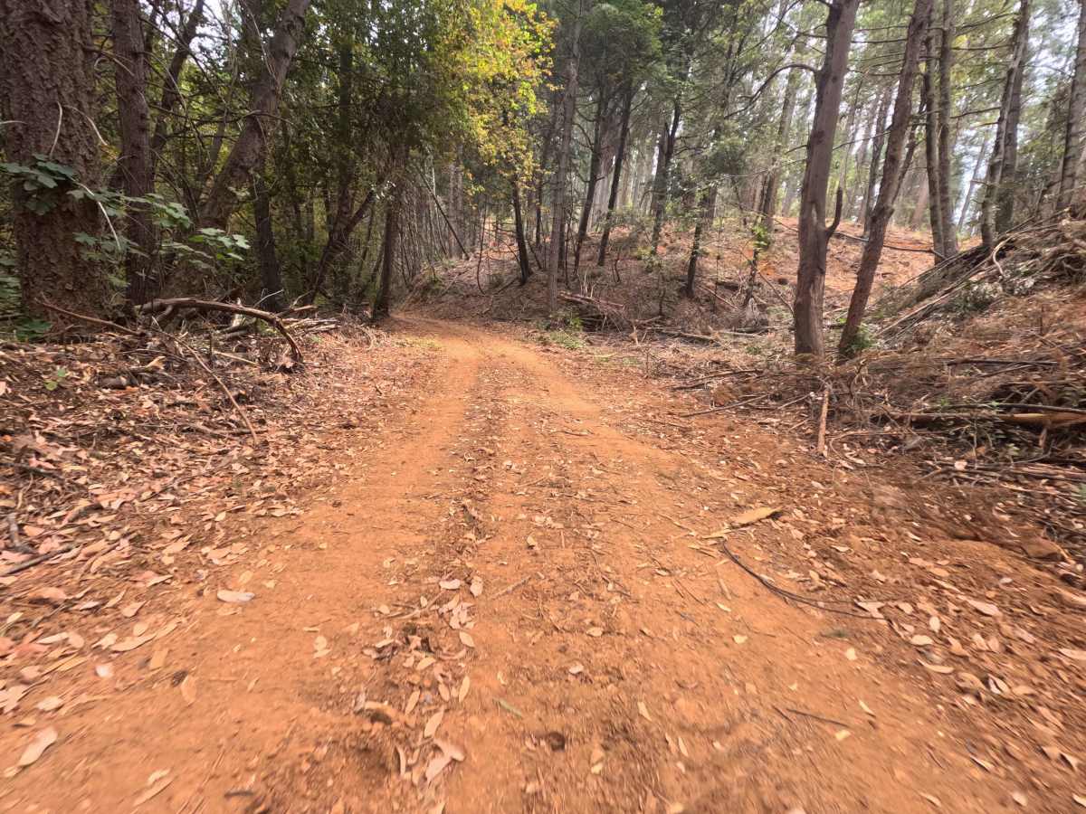
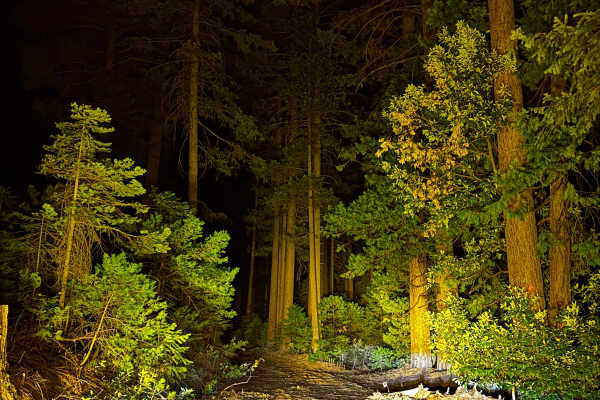
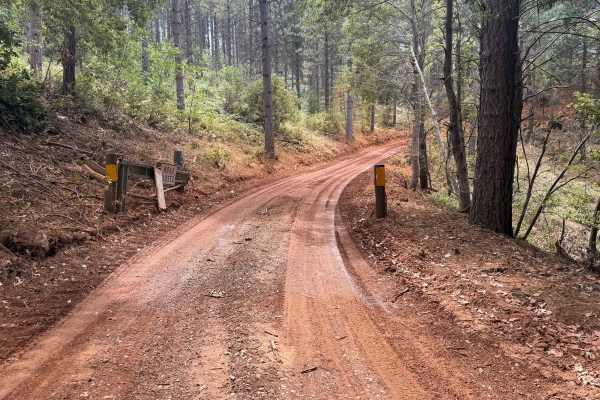
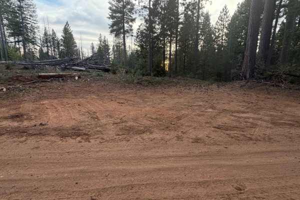
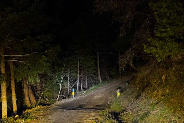
Branching off Forest Service Road 34 and pointing travelers back toward Highway 49, the Pourier Creek Spur (FS 34-003) operates as a wide, well-traveled dirt route reaching into the Tahoe National Forest. The trail wanders through a heavily timbered, shady evergreen woodland blanketed with a thick layer of seasonal pine needles and fallen leaves. Consisting of a packed, reddish-dirt single-track, the surface earns an easy difficulty rating of 1. Visitors looking to escape the main thoroughfares utilize this peaceful offshoot to access a cozy, flat dispersed campsite situated around the 0.7-mile mark, which provides enough room for up to two vehicles to settle in for the night. The established, navigable path officially ends at the 2.3-mile mark, where it meets an old intersection for FS 34; past this junction, the continuation of the road is completely abandoned and swallowed up by the encroaching forest overgrowth.
Difficulty
Holding a level 1 rating, this flat and exceptionally well-groomed dirt spur offers a relaxing, bump-free drive from start to finish. The wide, single-lane roadbed is heavily trafficked and reliably packed, leaving it entirely free of deep ruts, off-camber washouts, or embedded rocks that might threaten undercarriage clearance. The corridor is generously cleared of heavy brush, allowing for great forward visibility and ensuring vehicle paint remains unscratched. Overall, it is a straightforward cruise that poses absolutely no technical challenges before reaching the turnaround space at the abandoned intersection.