Trail Overview
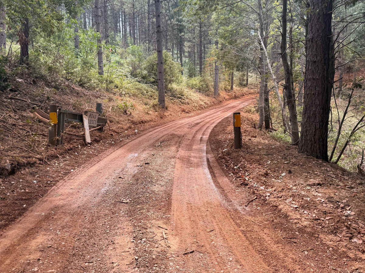
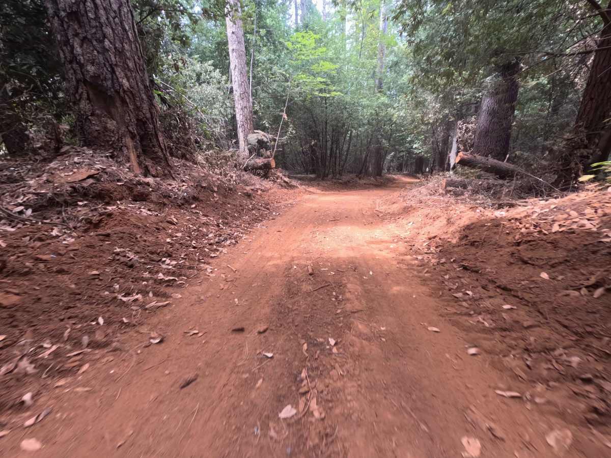
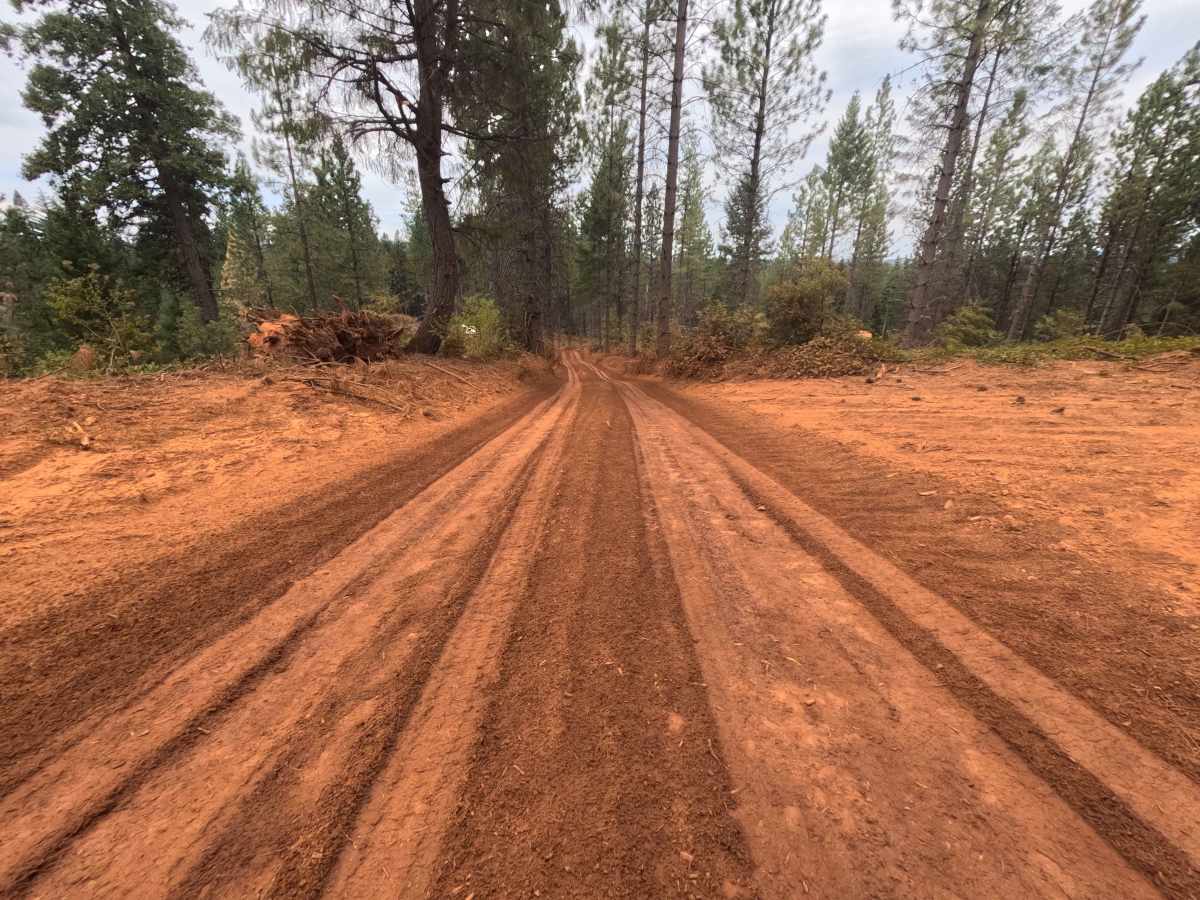
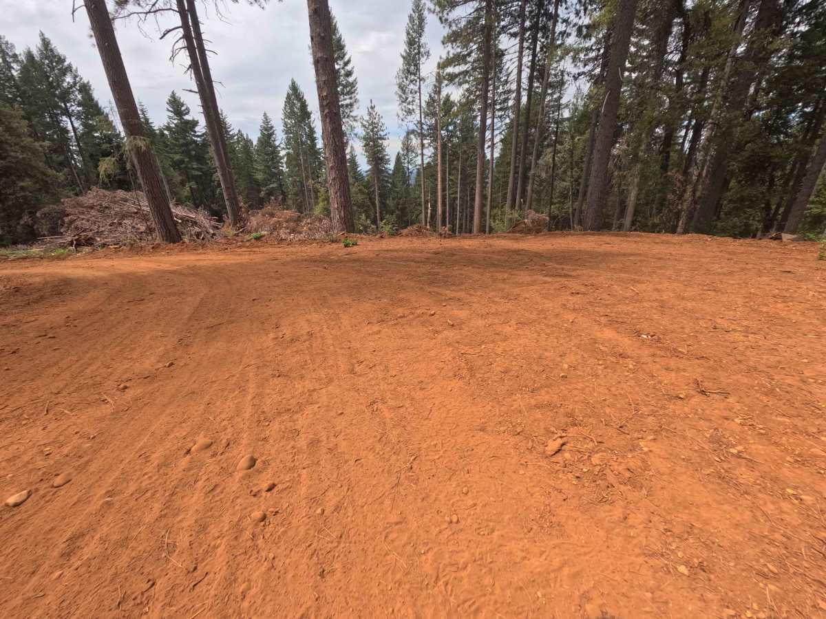
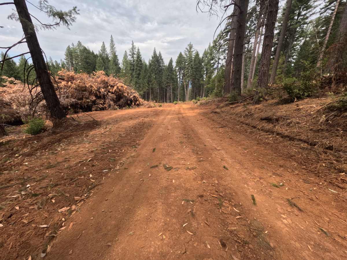
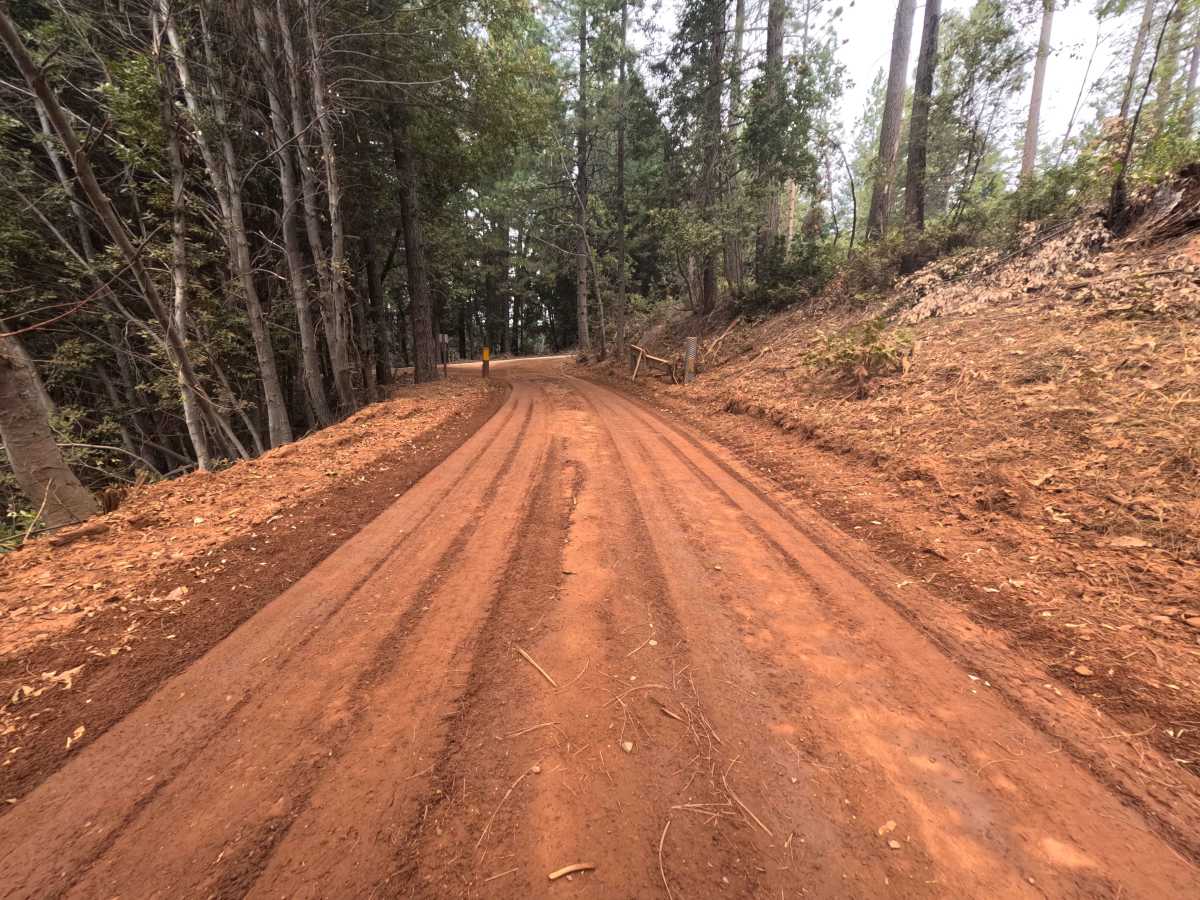
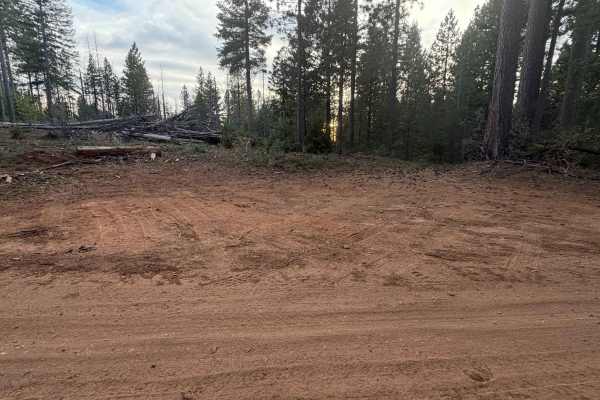
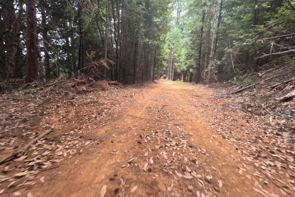
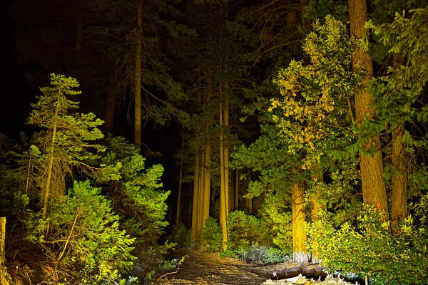
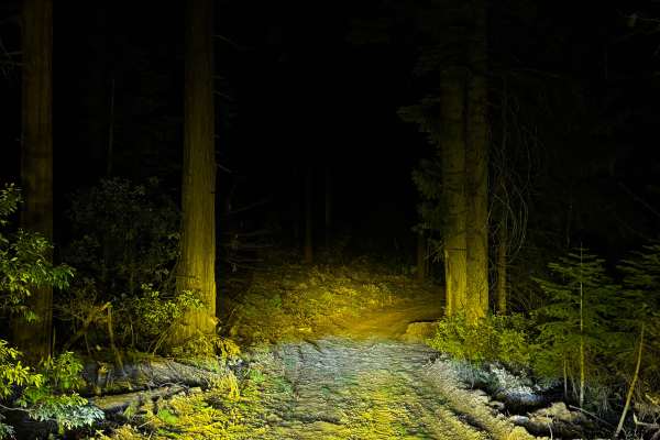
Branching off the 293 road, Forest Service Road 34-001—commonly known as Baldwin—is a single-track dirt connector spur that threads through the Tahoe National Forest to eventually link up with FS 34 and the 49 road. The path winds through a heavily wooded evergreen landscape that displays obvious, extensive signs of recent logging operations, with freshly cut timber piled high alongside wide, bladed shoulders. Holding an easy level 1 difficulty rating, the trail begins with a gradual, miles-long downhill slope that flattens out completely toward the bottom. Just past the 1.8-mile mark, travelers will spot a small dispersed campsite capable of holding one or two vehicles, with another solo camping opportunity located just 0.1 miles further down. The route ultimately concludes at the 2.2-mile mark, intersecting at FS 34, where a seasonal metal gate controls further access.
Difficulty
Rated as a level 1, this forest connector delivers a thoroughly smooth and unchallenging drive. Thanks to recent logging activity, the roadbed consists of hard-packed, well-groomed dirt that is completely devoid of deep washouts, technical rocks, or severe erosion ruts. The gradual downhill grade is incredibly mild and requires no special traction considerations. Because the shoulders have been aggressively cleared for heavy equipment, the corridor is remarkably wide for a single-track, ensuring that drivers will not have to worry about brush scratching the sides of their vehicle. Undercarriage clearance is never threatened, making this a relaxing, straightforward transit down to the FS 34 junction.