Trail Overview
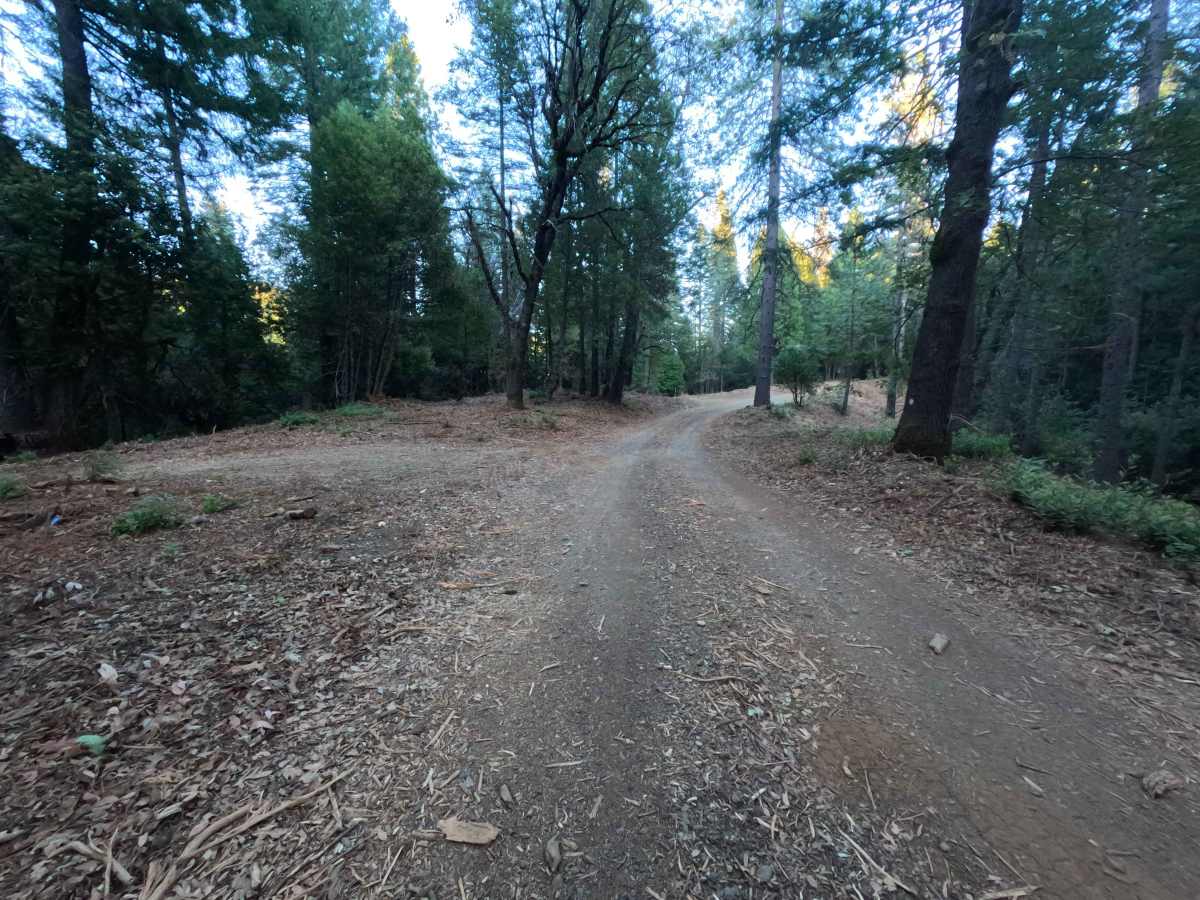
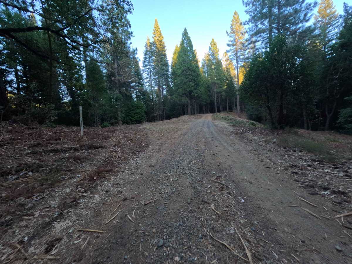
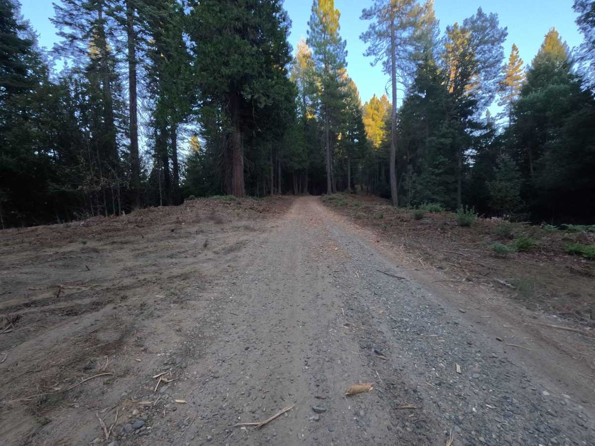
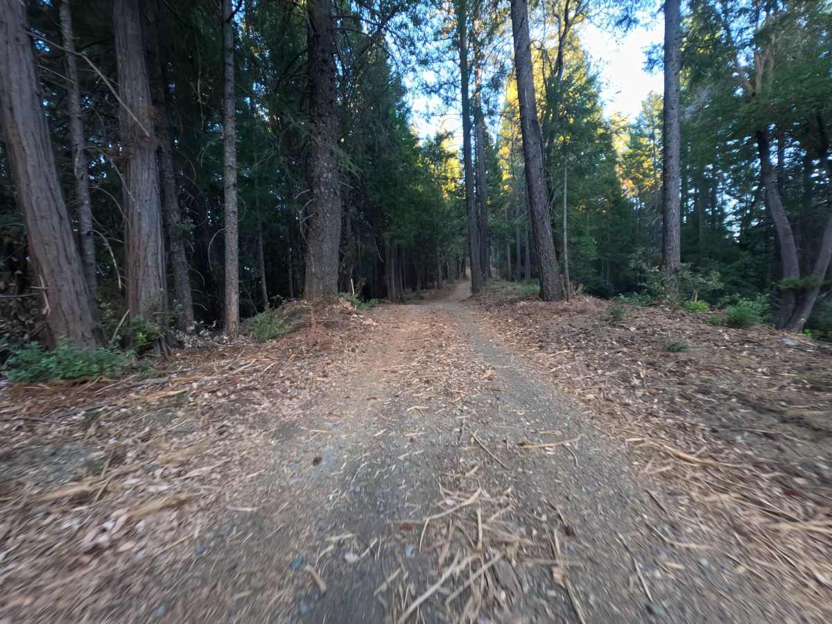
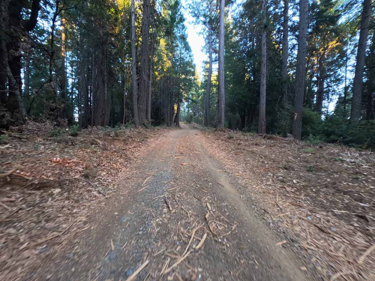
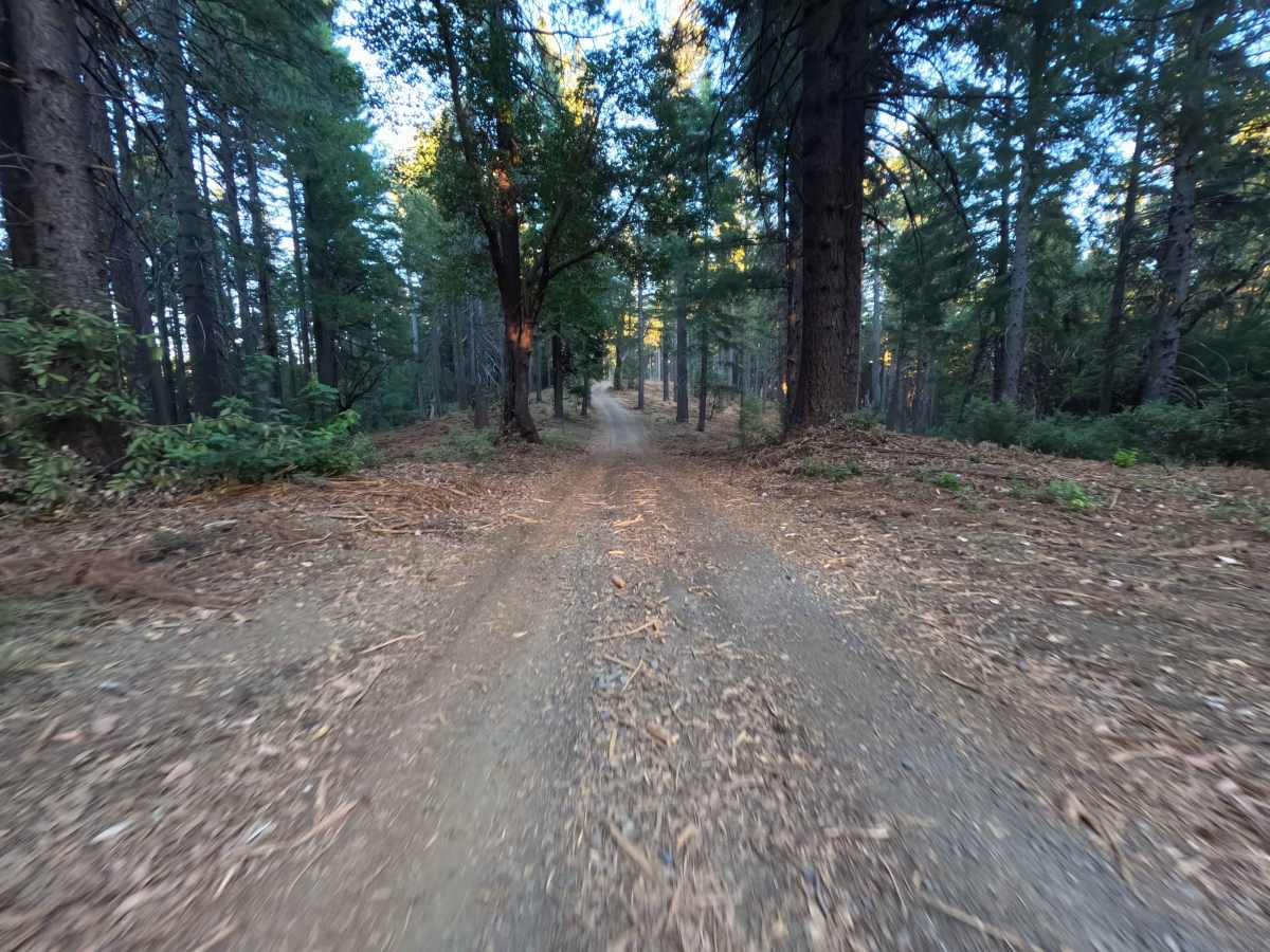
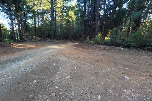
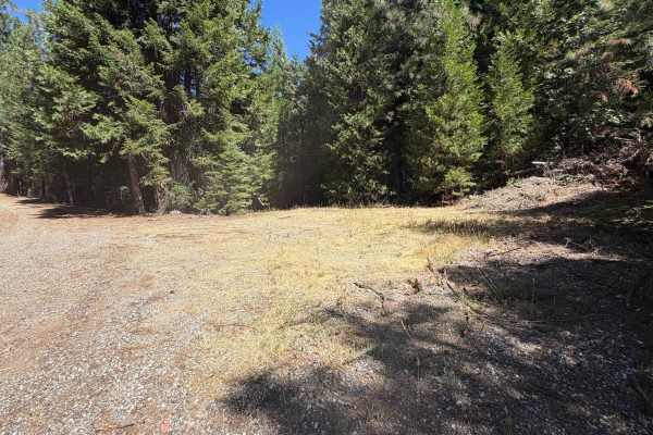
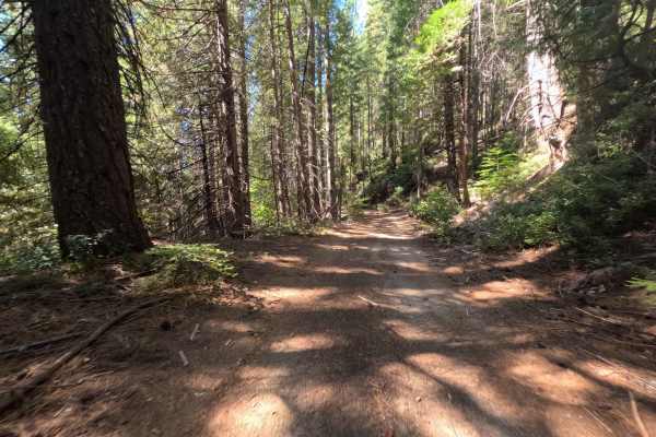
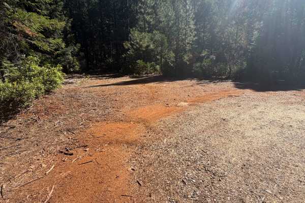
Cyprus (Forest Service Road 20N81) is a peaceful, out-and-back woodland spur accessed directly off Peterson Ridge Road (FS 20N04). Winding through the Plumas National Forest, the track is enveloped by a healthy, dense canopy of mature pines, cedar, and fir trees carpeted with natural duff. This single-lane roadway is surfaced in hard-packed dirt and scattered fine gravel, carrying an easy technical rating of 1. Outdoor enthusiasts regularly utilize this corridor for secluded forest camping and as a staging point for foot travel. The route begins largely flat, initially passing a snug clearing suited for a single vehicle to camp. At roughly 0.7 miles, a brief side spur descends into an expansive dispersed campsite large enough to host four to five vehicles. Continuing along the main stem, the track makes a gentle downhill descent before concluding at 1.0 mile at an open trailhead turnaround equipped with a forest privy and parking space for four to five vehicles.
Difficulty
With a technical rating of 1 out of 10, this road offers an easy, stress-free drive across firmly compacted native soil and crushed gravel. The track maintains a consistent width and predictable surface with no rock steps, deep ruts, or difficult washouts. Drivers should maintain a relaxed, moderate pace while remaining centered within the worn wheel lanes to steer clear of soft track edges and fallen tree limbs. Approaching the gentle descent into the terminal parking turnaround, smooth braking and mindful steering over pine needles will ensure total control and effortless turning room.

 Offroad