Trail Overview
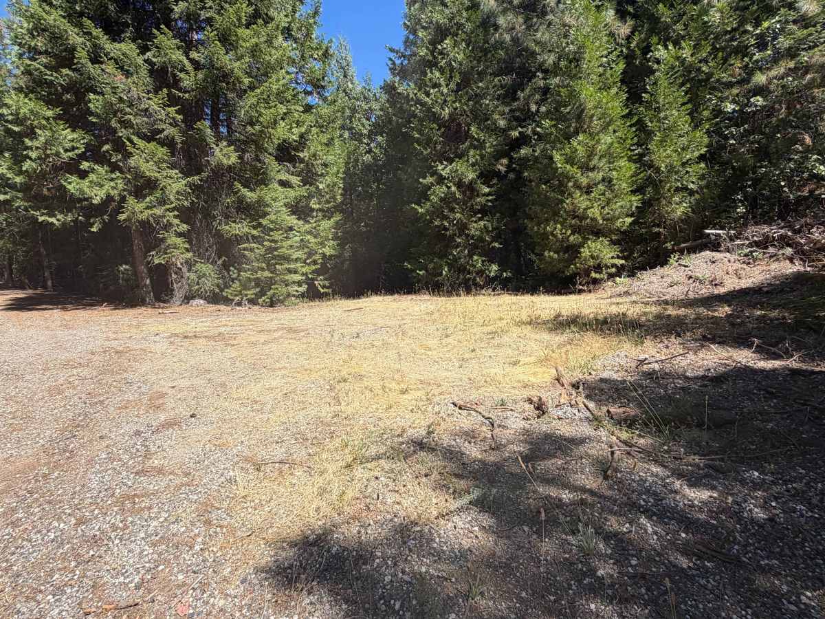
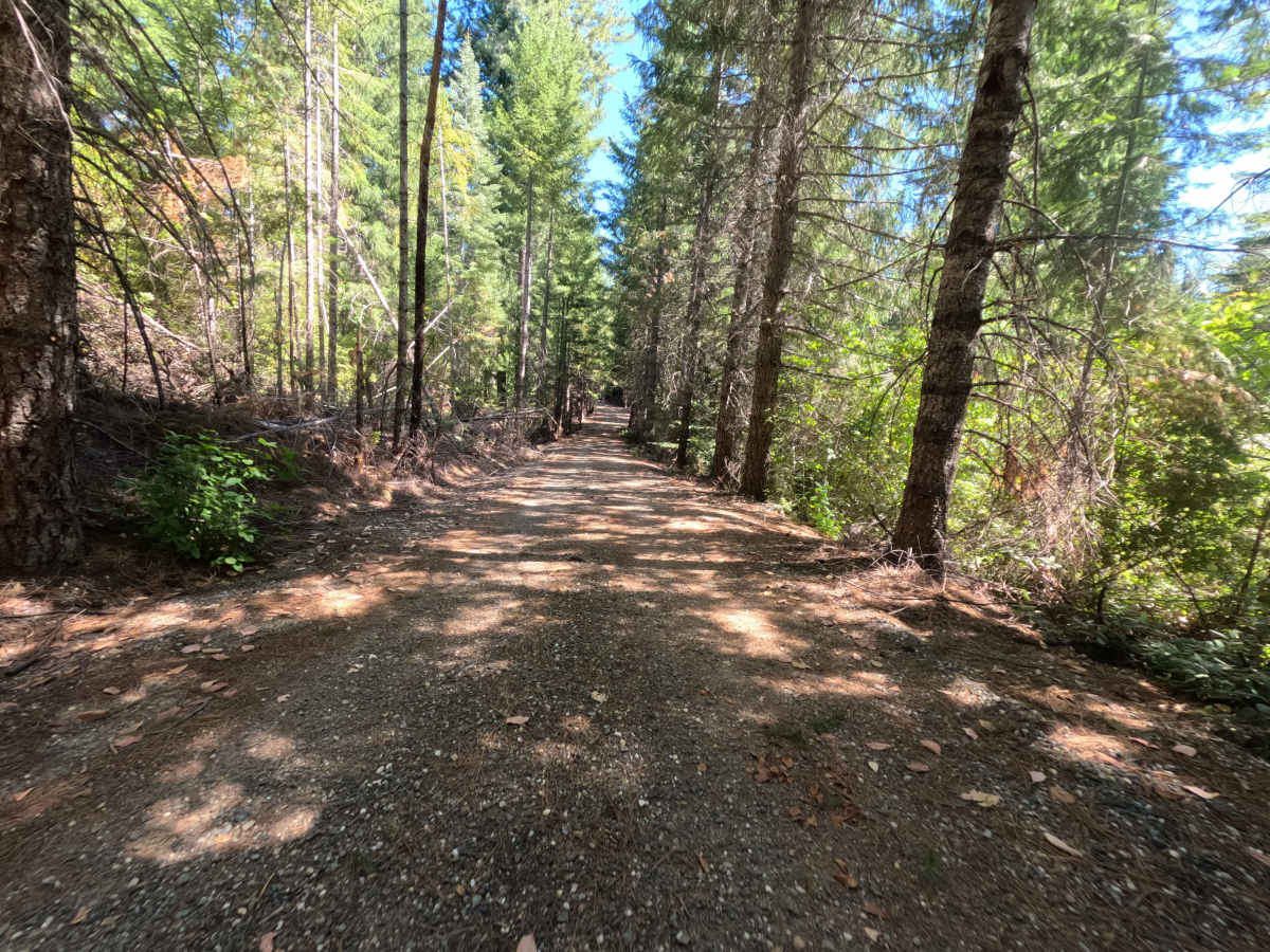
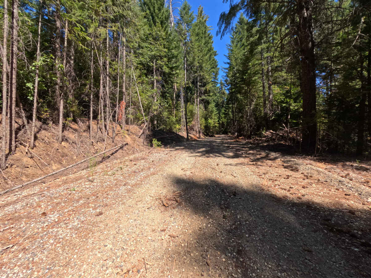
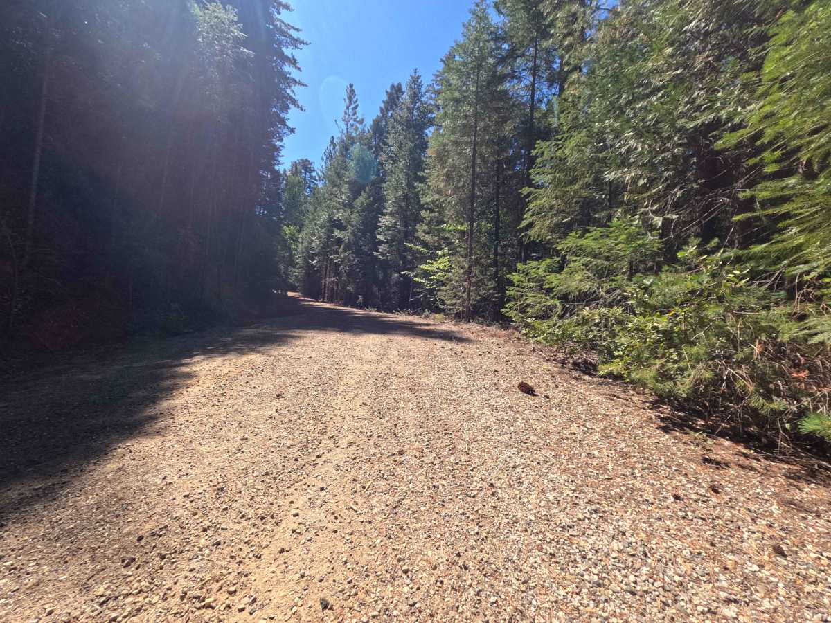
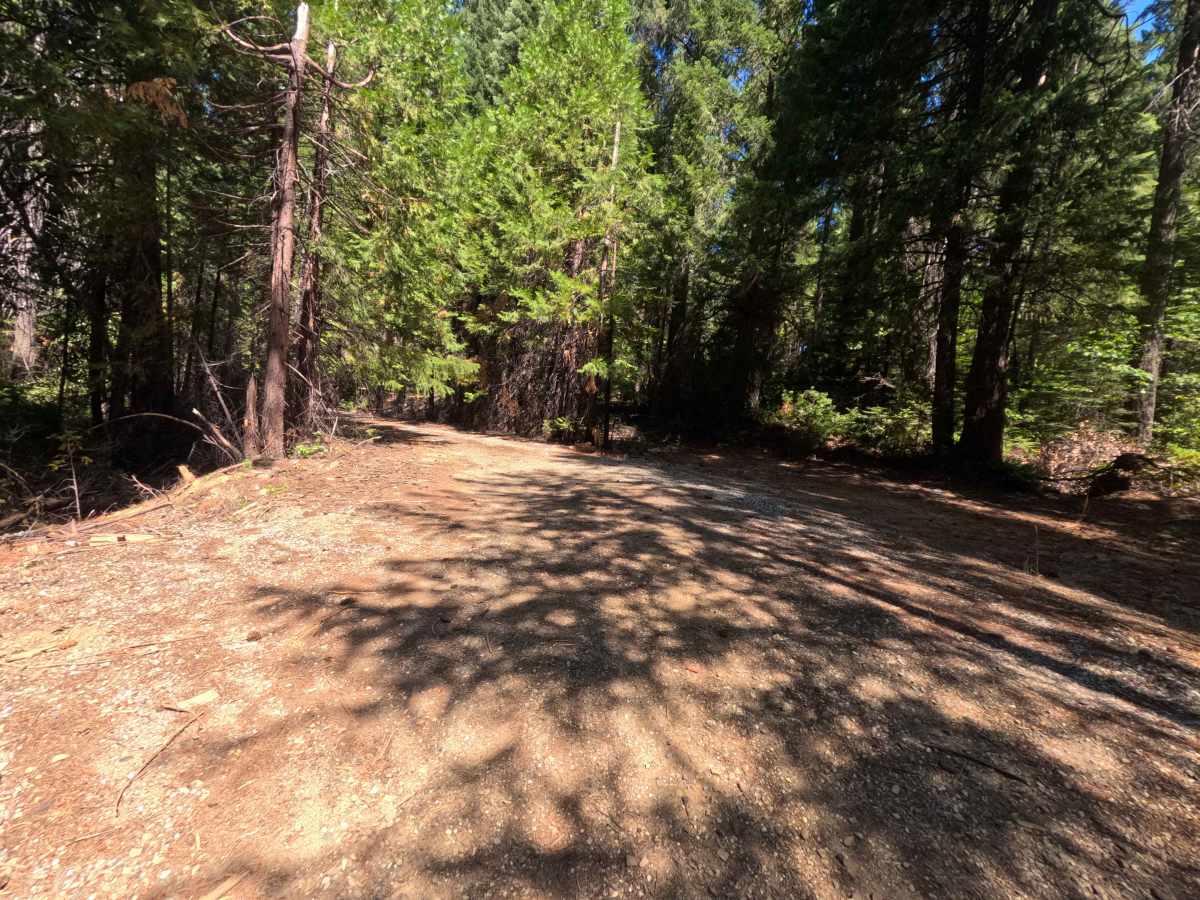
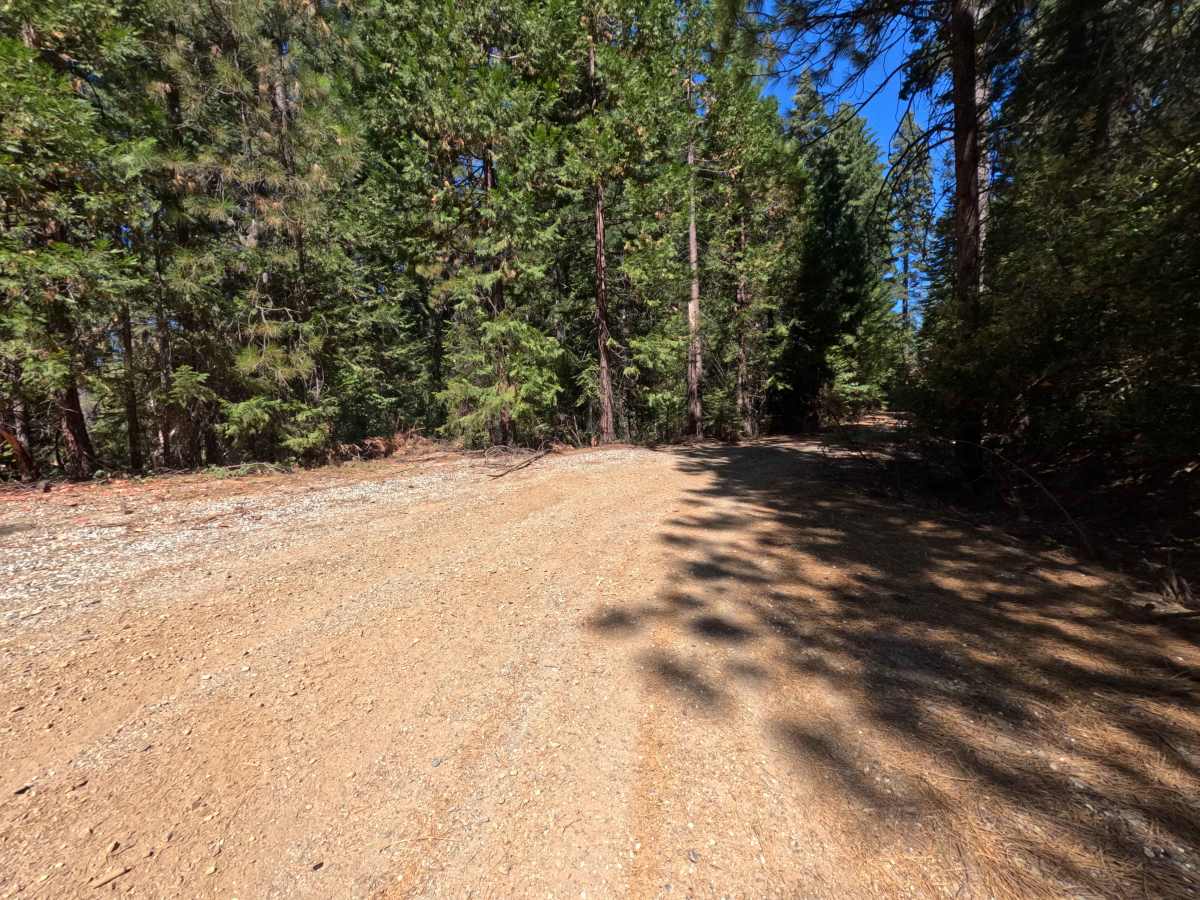
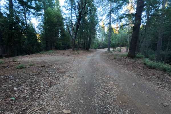
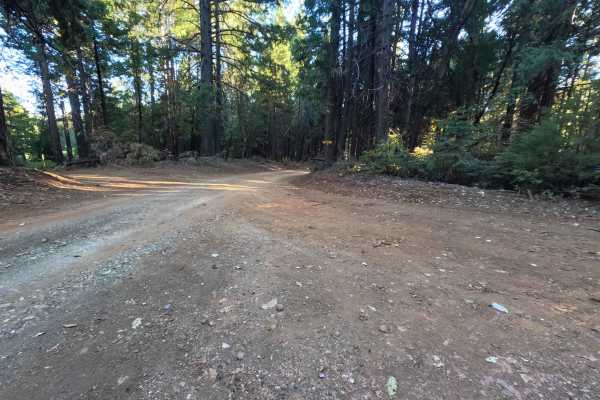
Accessed from Quincy-La Porte Road near Strawberry Valley, Harrison Ridge Road - FS 21N20 serves as the primary upland artery traversing the timbered crest above the Sly Creek drainage basin. While mapped to connect deeper through the forest, this wide corridor currently functions as an out-and-back route, providing essential access to secondary spurs like FS 21N20A and the lakeside descent of FS 20N80 before terminating where northern connecting branches have become decommissioned and brush-choked. The route travels through an expansive, thriving woodland of towering sugar pines, white firs, and incense cedars with a verdant understory managed by the Plumas National Forest. Maintained with a dependable layer of crushed stone, hard-packed gravel, and firm native soil, the roadway carries a gentle difficulty rating of 1. Recreationists seek out this secluded ridge primarily for prime dispersed camping, taking advantage of generous, level clearings suitable for multiple vehicles, as well as for bird watching, seasonal hunting, and staging backcountry excursions toward Sly Creek Reservoir
Difficulty
Rated a 1, this forest thoroughfare presents an exceptionally approachable drive with an even, predictable roadbed from start to finish. The surface consists of sturdy, packed gravel and settled dirt blanketed by light pine needles, remaining free of exposed boulders, sharp ledge drop-offs, or deep washouts. Travel at a steady, moderate pace and maintain smooth momentum along gentle uphill bends where loose aggregate can reduce tire grip slightly. The corridor maintains plenty of width for single-vehicle travel with gentle shoulders and broad camping turnouts along the route, providing ample room for oncoming passing and effortless three-point turns at the end of the maintained track.

 Offroad