Trail Overview
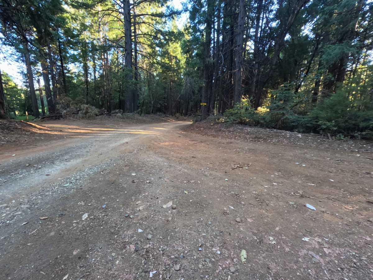
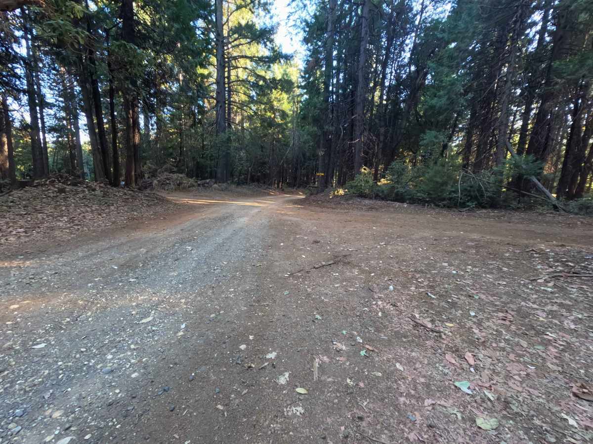
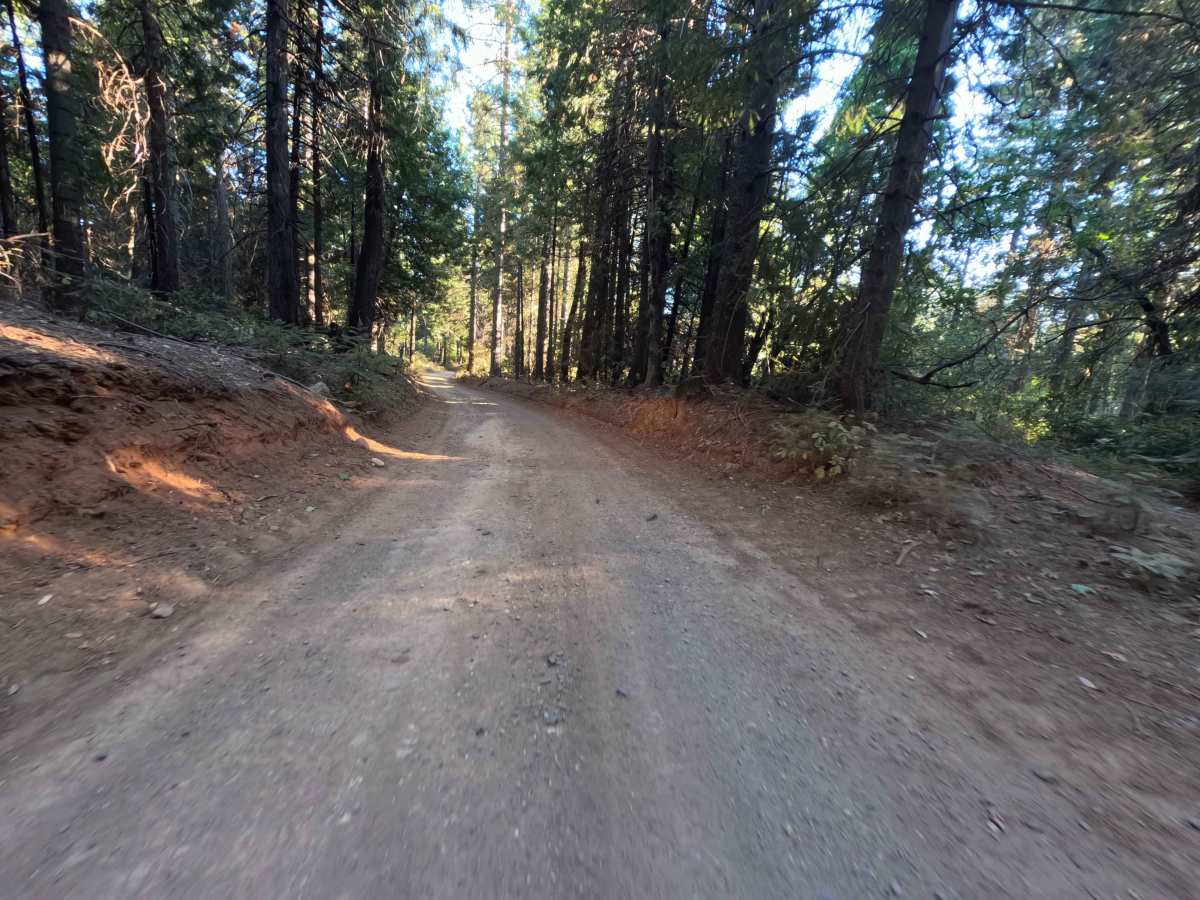
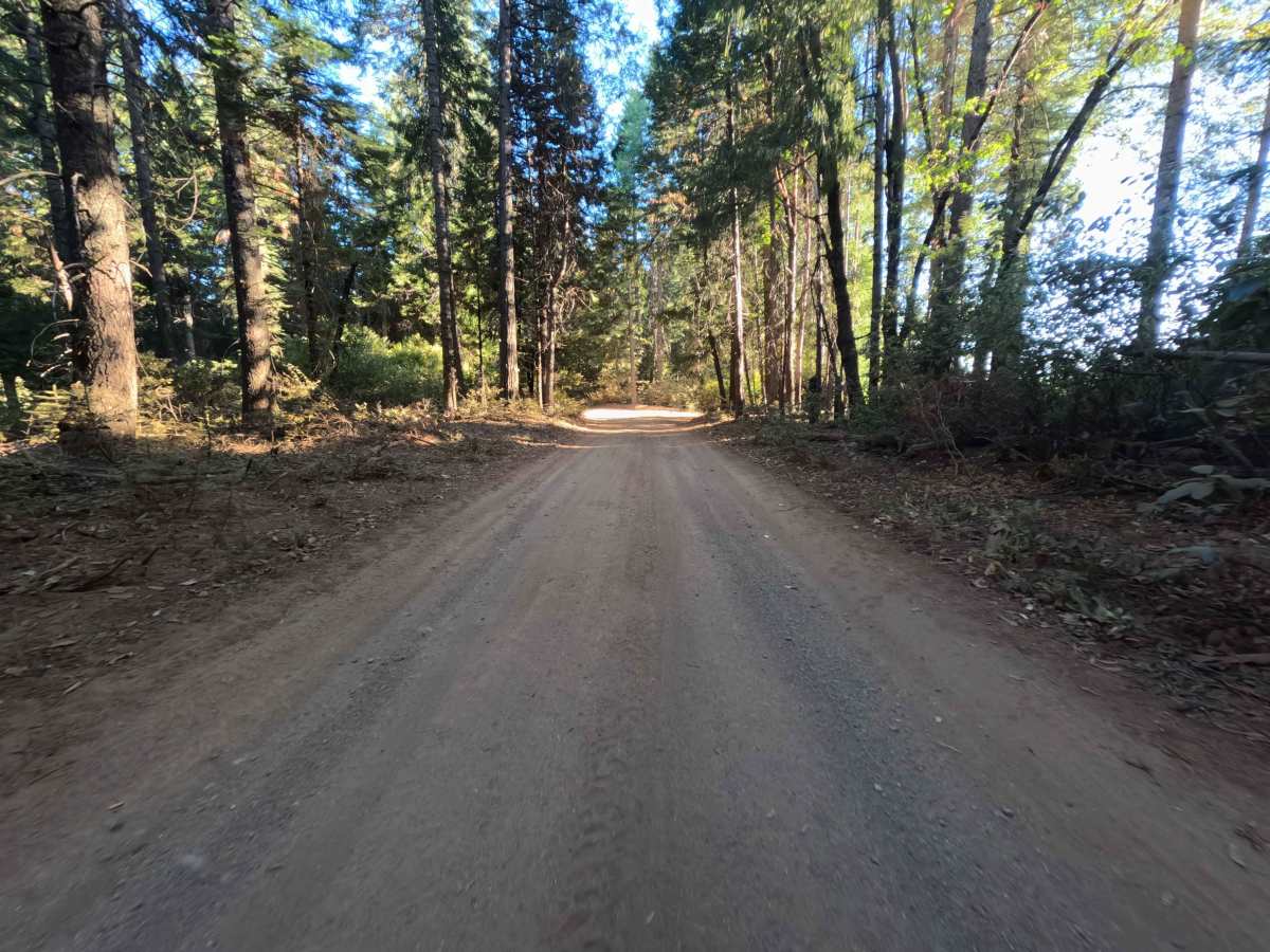
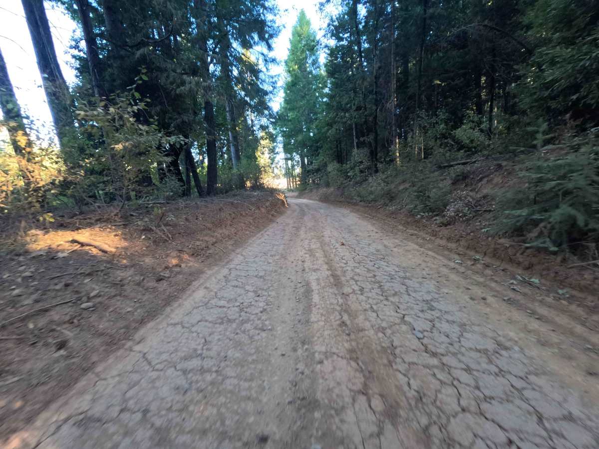
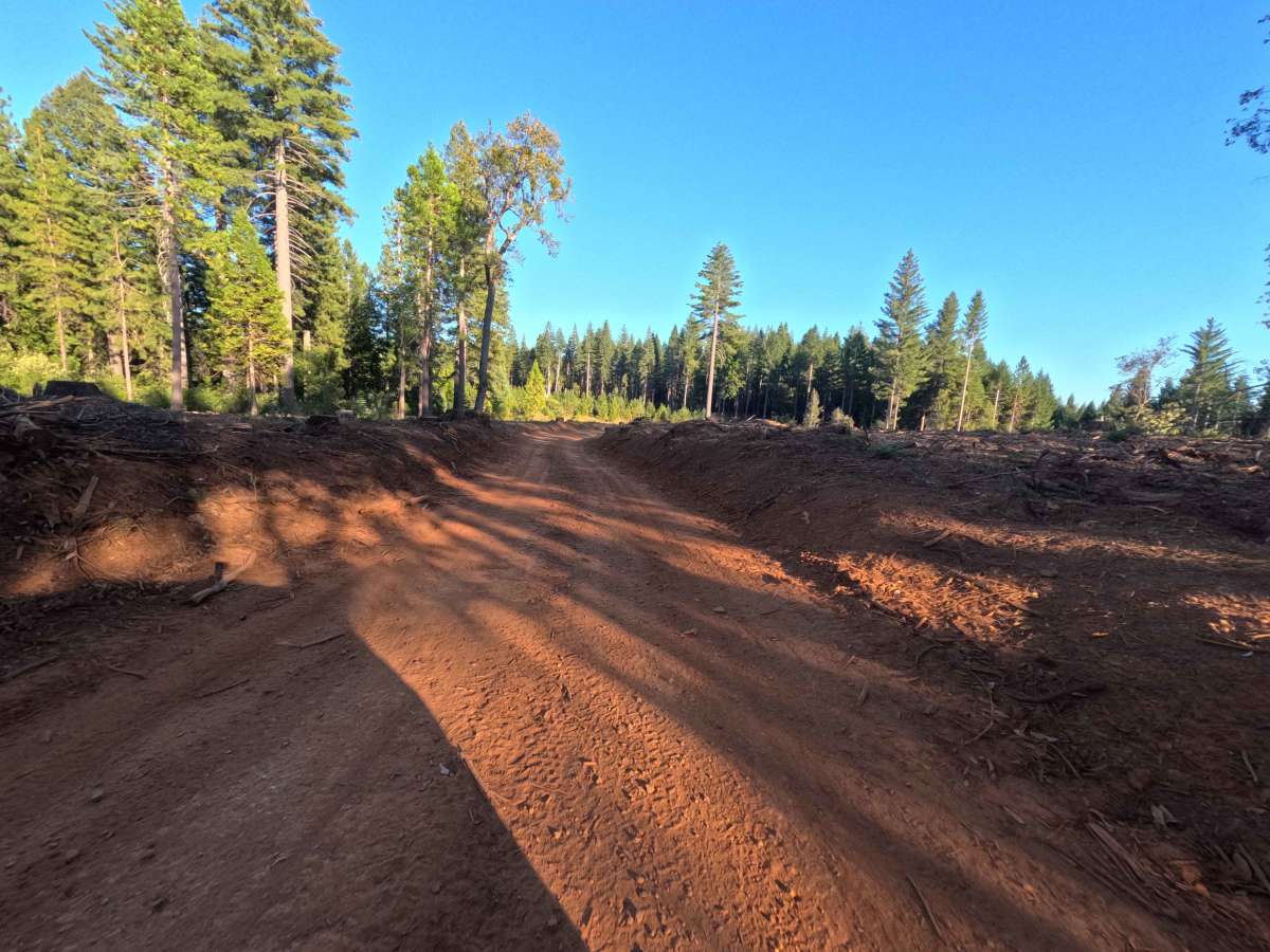
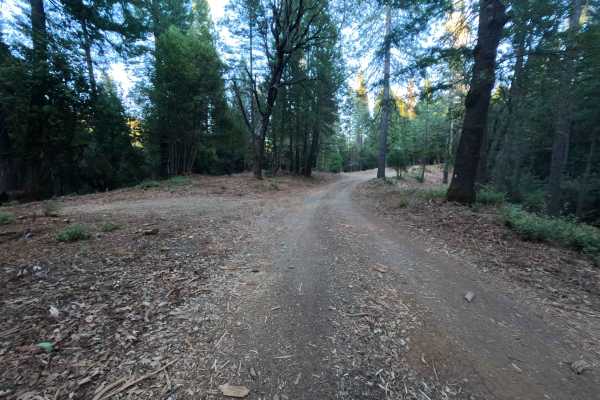
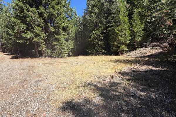
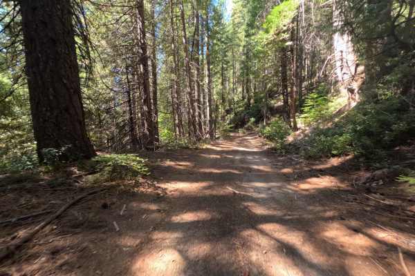
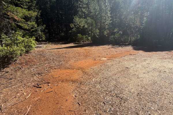
Weed Point (Forest Service Road 20N14) serves as a scenic backcountry connector in the Plumas National Forest, creating a convenient dirt link between Forest Road 21 and the trail network along Peterson Ridge. The track traverses a lush, verdant woodland dominated by towering sugar pines, Douglas firs, and mixed hardwoods, passing private boundary lines before cutting deeper into public timberland. This single-lane natural earth road carries a technical rating of 1, featuring a firmly packed red dirt surface blanketed with pine needle duff. Outdoor recreationists and sightseers frequent this corridor for peaceful forest throughput, ridge connectivity, and dispersed camping. A secluded turnout nestled among the timber provides a flat, shaded spot suitable for a single vehicle to set up camp. Connecting the lowlands to higher terrain, the road offers an easy, quiet traverse suitable for cross-forest exploring.
Difficulty
Rated a 1 out of 10, this route delivers a smooth and forgiving drive over predictable native earth and fine gravel. The grade remains mild throughout, presenting neither steep drop-offs nor technical washouts. Maintaining a steady pace and staying centered within the worn wheel paths will easily keep undercarriage components safe from shallow drainage dips and minor ruts. Forest vegetation lines the road edges closely in several corners, so taking blind curves slowly and scanning ahead for oncoming vehicles ensures an easy, stress-free passage from either direction.