Trail Overview
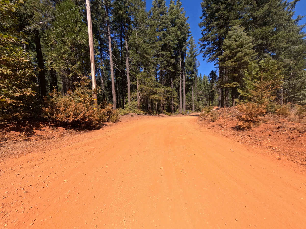
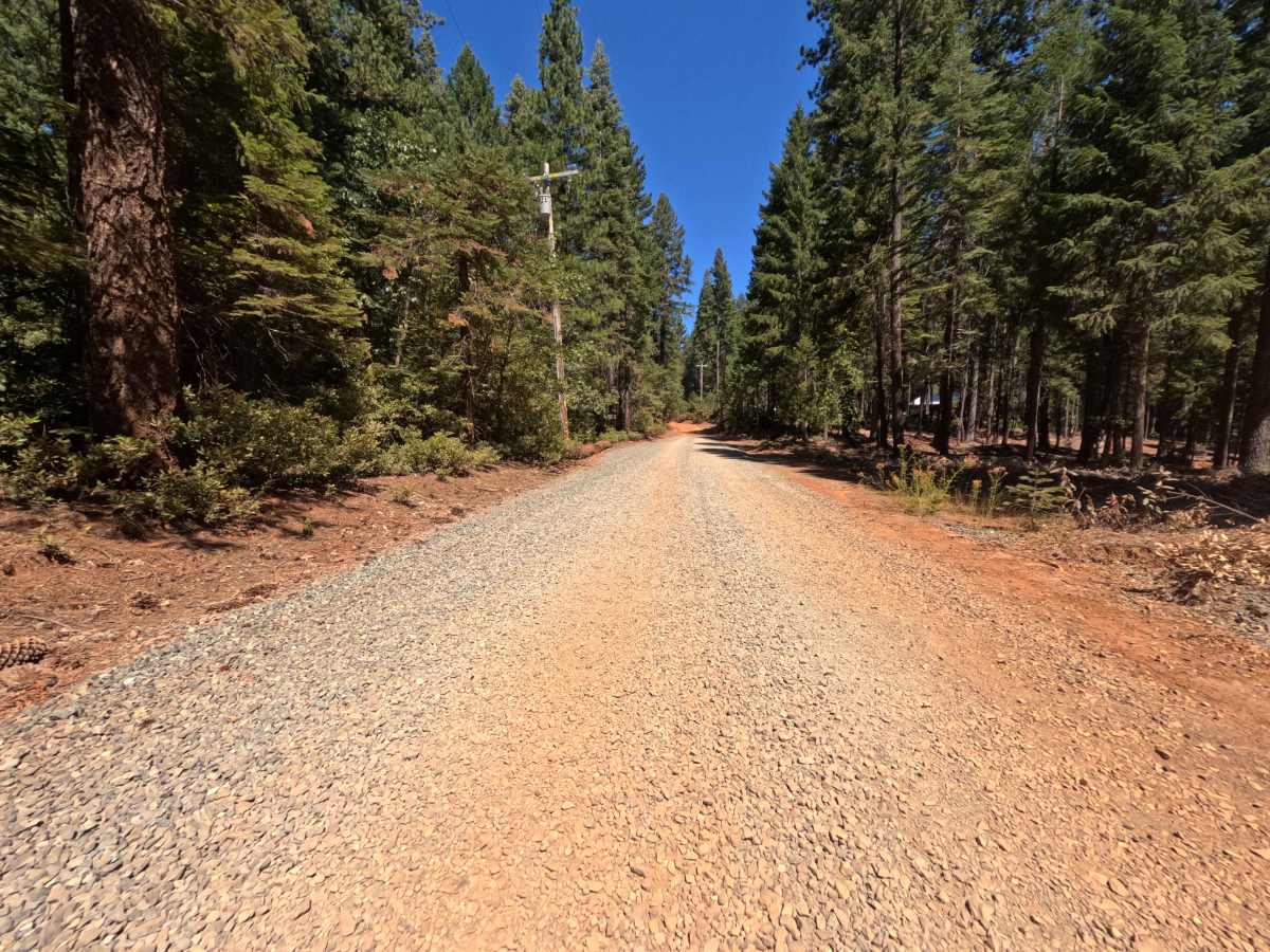
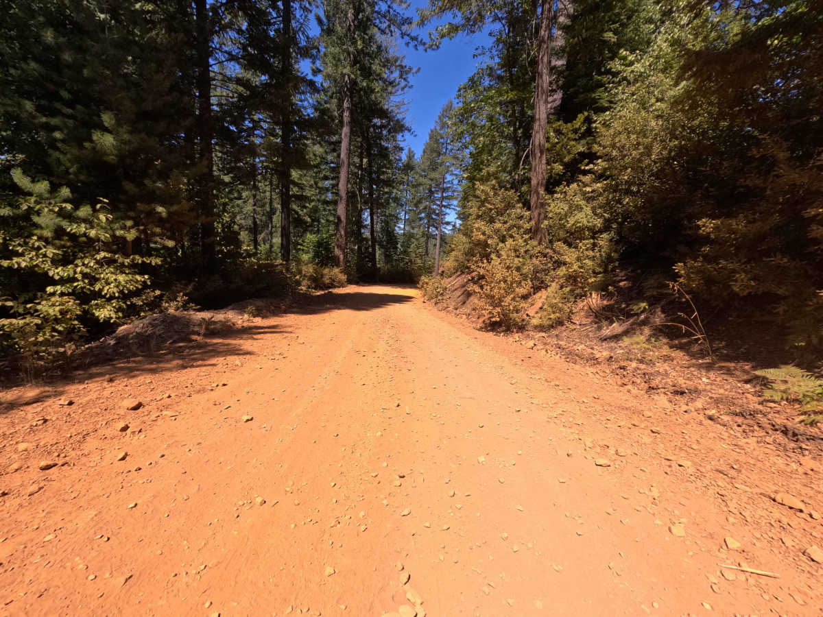
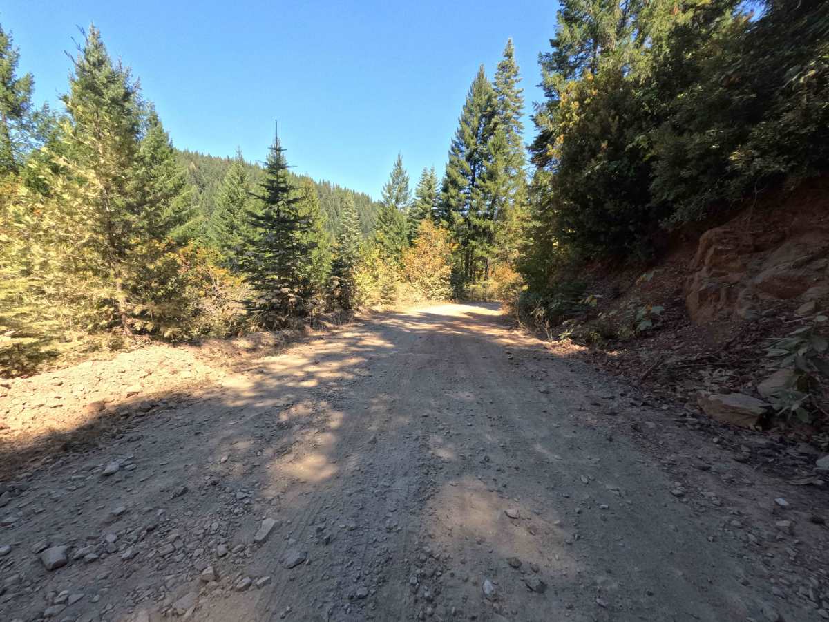
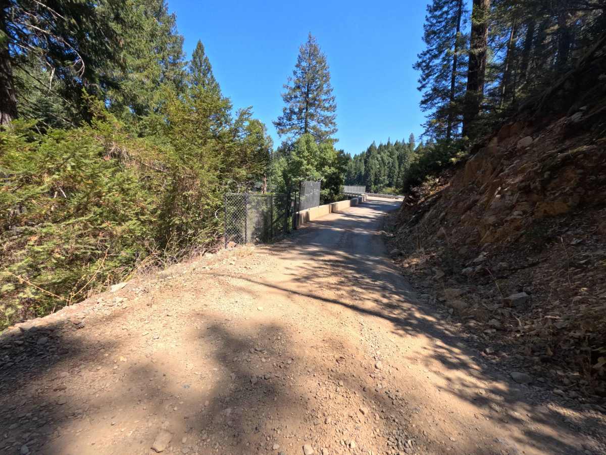
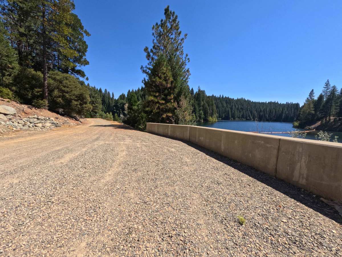
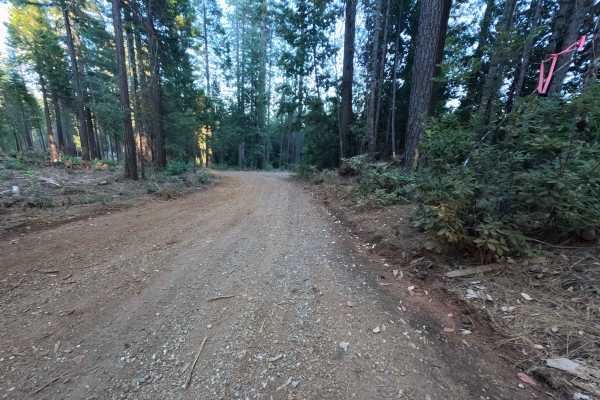
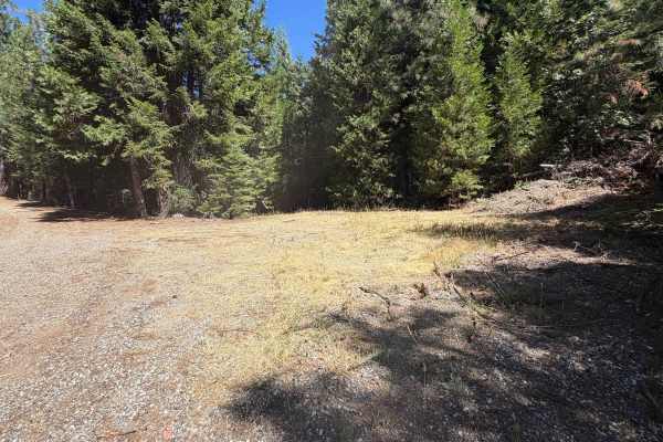
Operating as a highly scenic and dynamic backcountry connector, Pinkard Creek - FS 20N09 links the lower valleys near Lost Creek Dam Road with the upper alpine stretches of Mooreville Ridge Road. Outdoor recreationists, anglers, and sightseers frequently utilize this passage to access the picturesque Lost Creek Reservoir, physically drive across the impressive dam structure, and claim secluded dispersed campsites perched high up on the mountain ridge. The surrounding landscape offers a captivating visual transition; the route begins by winding through shaded, mature timberlands and passing through open gates along private property boundaries before climbing into a wide, exposed ridgeline actively recovering from historical wildfires within the National Forest. The driving surface consists of a wide, single-lane dirt and hard-packed gravel foundation that earns a moderate Grade 2 difficulty rating due to its uneven climbing sections. While the lower portion of the journey provides a relatively smooth cruise and a brief stretch of pavement over the dam, the upper elevations demand a bit more focus to comfortably scale the rugged, earthen ascent.
Difficulty
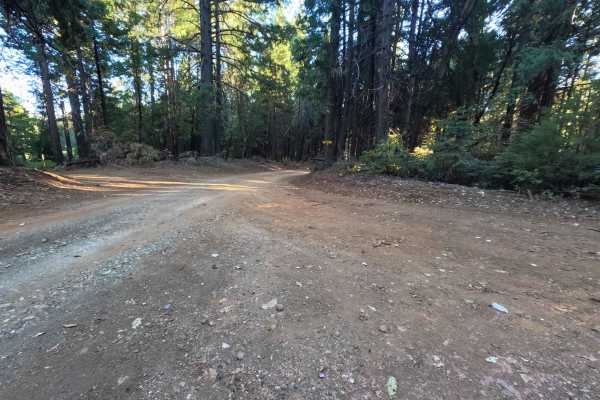
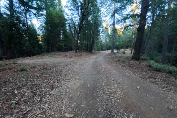
This dirt and gravel connector provides a generally reliable foundation that becomes progressively rougher during steep elevation changes. Severe technical hazards such as deep, impassable mud bogs, intimidating rock crawls, or treacherous shelf drop-offs are entirely absent from the journey. Instead, the primary obstacles are scattered embedded rocks and persistent surface ruts carved deeply into the uphill gradients. Navigating these uneven, degraded sections requires a cautious, steady driving speed and thoughtful wheel placement to maintain momentum and ensure a comfortable ride within the cabin. Modest ground clearance is highly recommended to easily step over the rutted tracks and safely clear the loose, rocky debris while powering toward the ridgeline.

 Offroad