Trail Overview
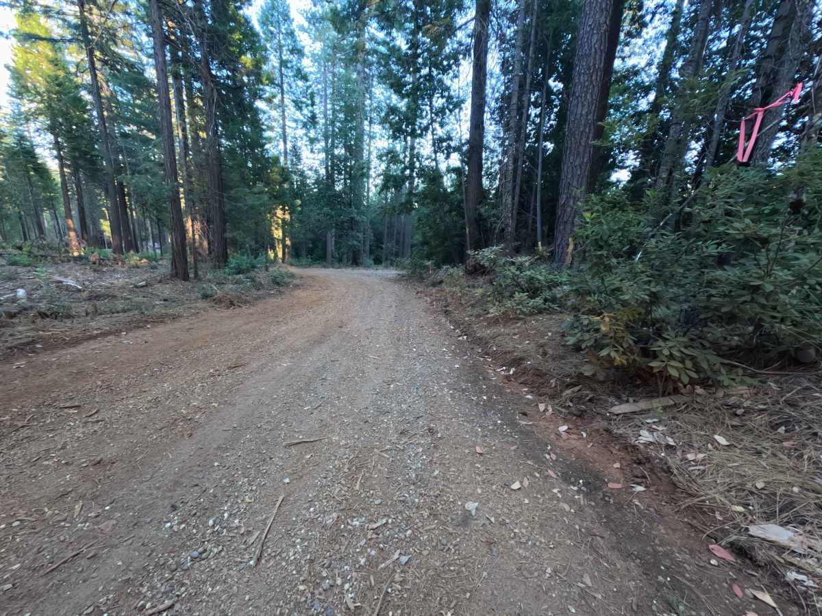
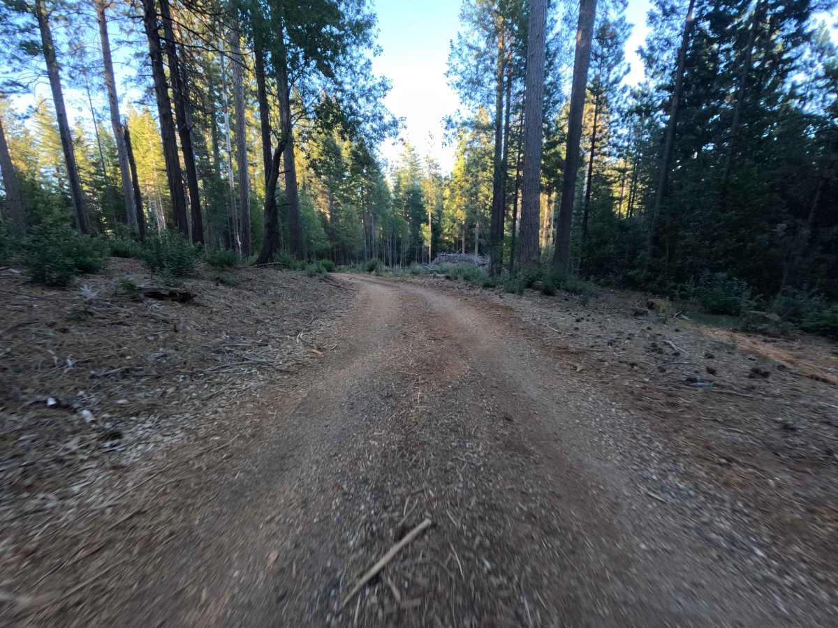
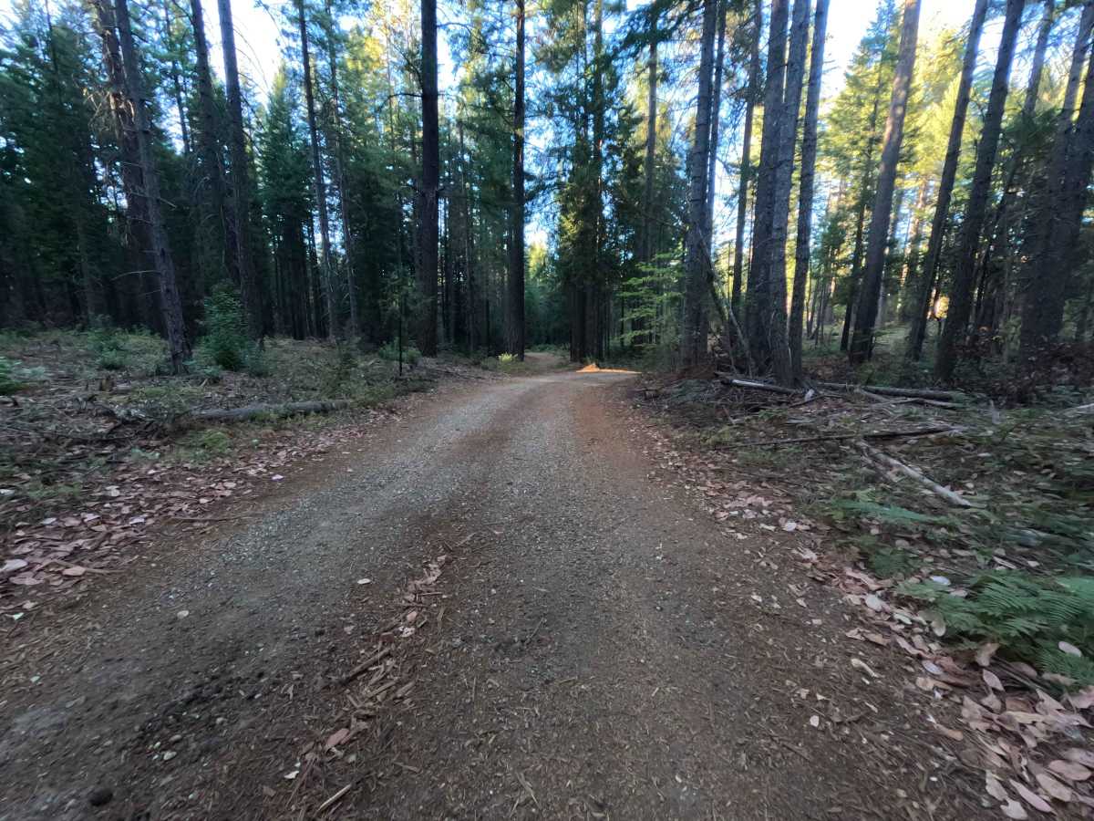
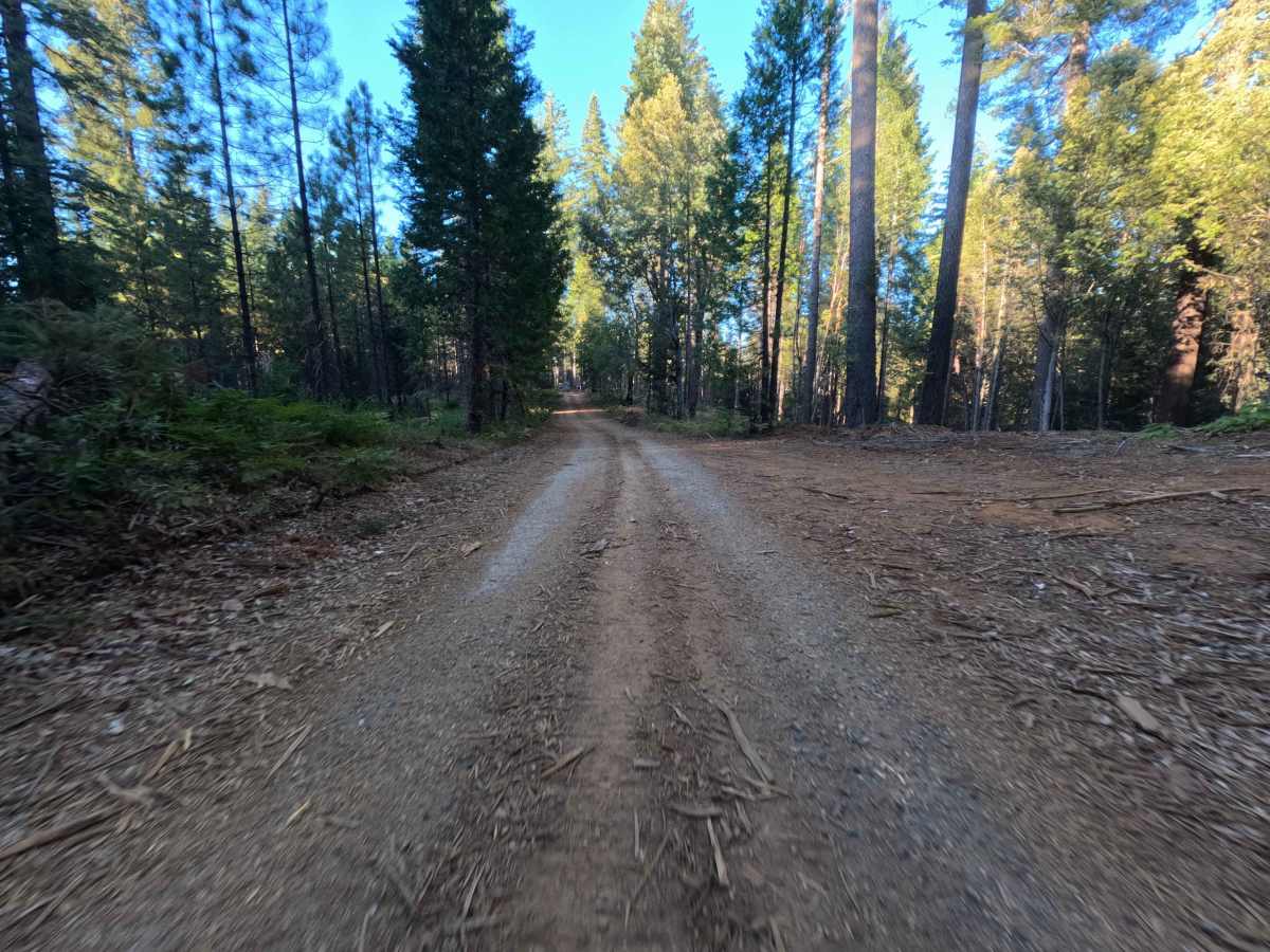
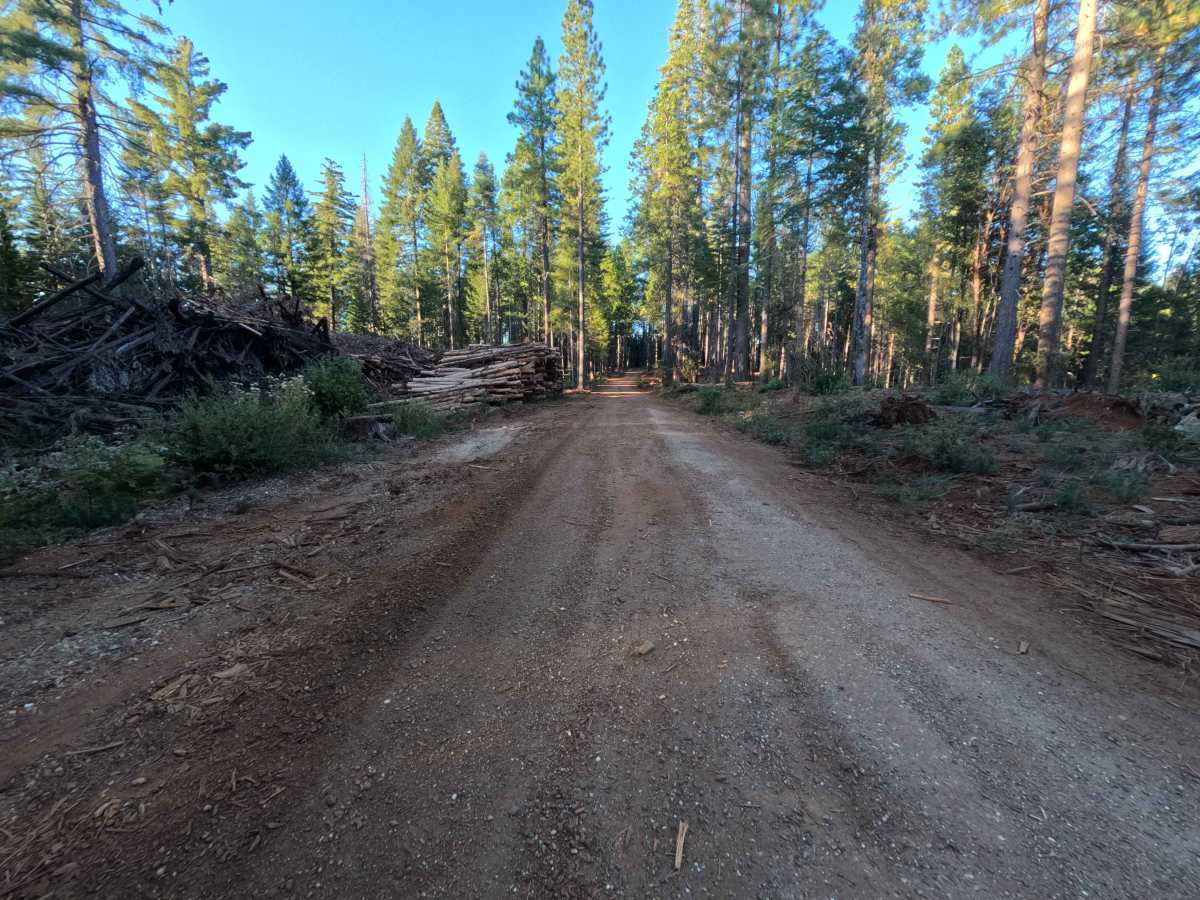
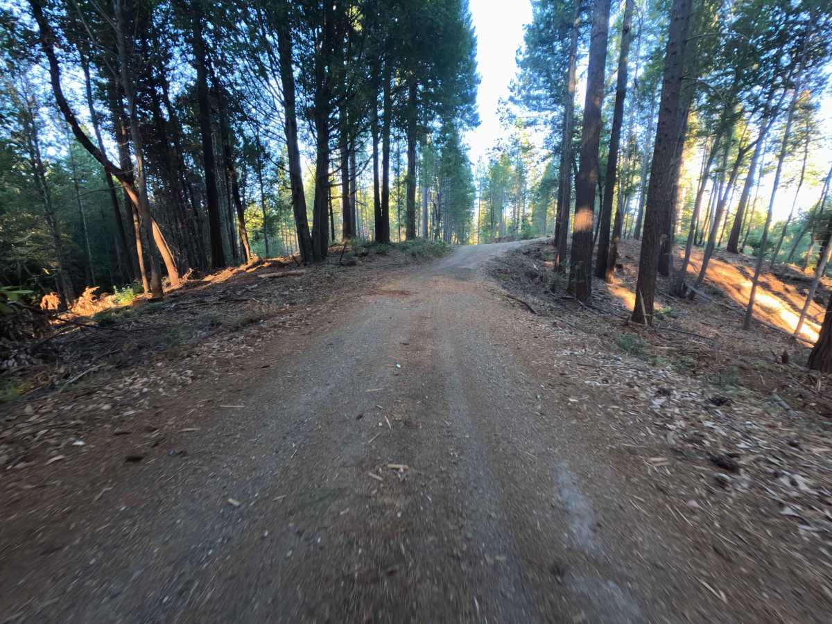
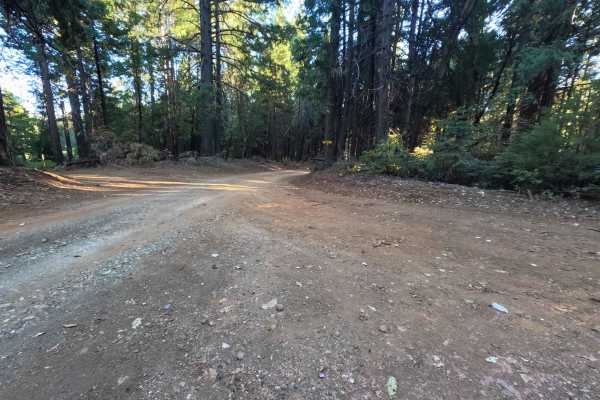
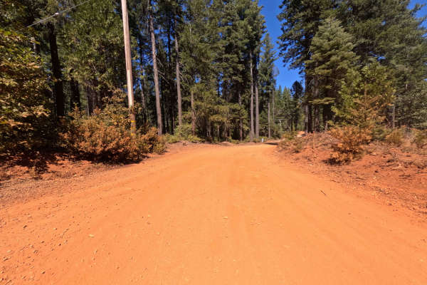
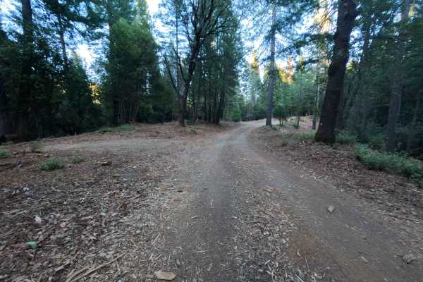
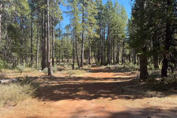
Peterson Ridge - FS 20N04 is a broad, well-defined out-and-back spur accessed directly from Bean Clipper Road. Winding across undulating high ground, the route journeys through a dense, thriving mixed-conifer forest of tall pine, cedar, and fir managed by the Plumas National Forest. The road features a solid single-lane surface composed of firmly packed native soil and embedded gravel, carrying an easy technical rating of 1. Recreationists utilize this secluded corridor primarily for primitive dispersed camping, firewood gathering, and quiet woodland touring along the elevated spine of the ridge. The track gently dips before making a gradual climb toward the ridgeline, passing several branching side spurs and stacked timber decks along the way. At the 3.0-mile mark, the maintained roadway concludes at a quiet dead-end clearing with space for a single vehicle to disperse camp before the path fades into overgrown, abandoned brush.
Difficulty
Carrying a technical rating of 1 out of 10, this road presents an uncomplicated, gentle drive over consistent hard-packed earth and scattered fine pebble gravel. Elevation transitions remain mild, and the path offers ample corridor width and clear sightlines throughout the run. Drivers should maintain a steady, moderate pace and remain within the primary tire paths to avoid encroaching roadside brush and occasional fallen forest debris. The dead-end turnaround at the far terminus features softer soil layered with woody mulch and pine needles, so deliberate wheel placement and smooth, steady throttle application ensure a clean, drama-free turnaround when heading back out.