Trail Overview
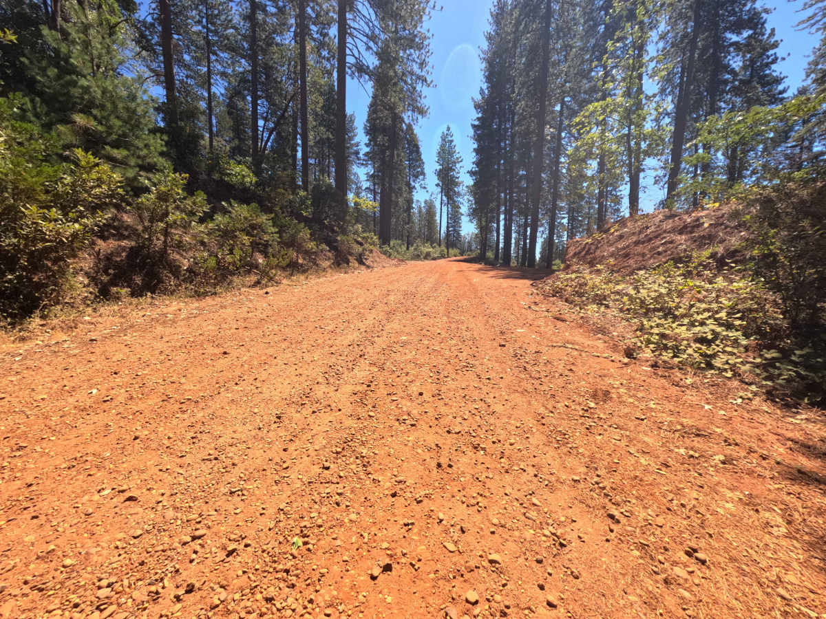
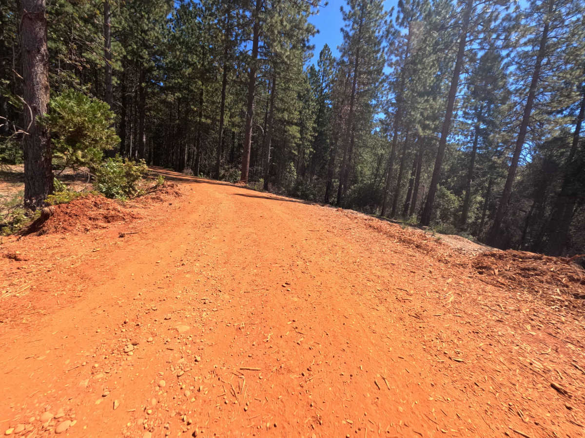
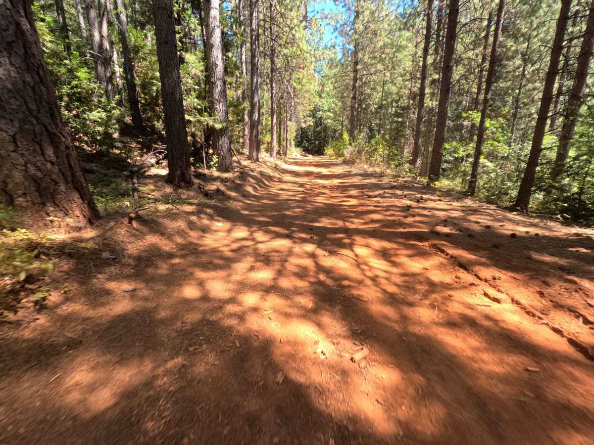
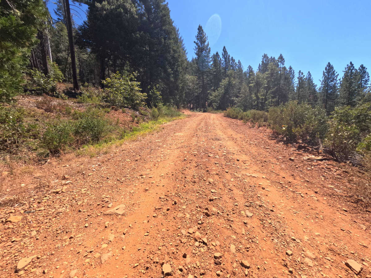
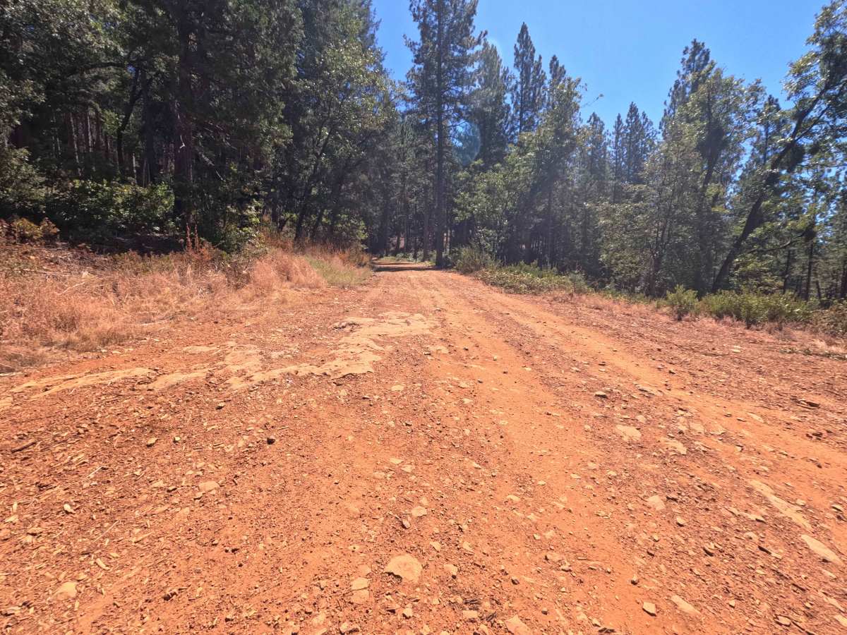
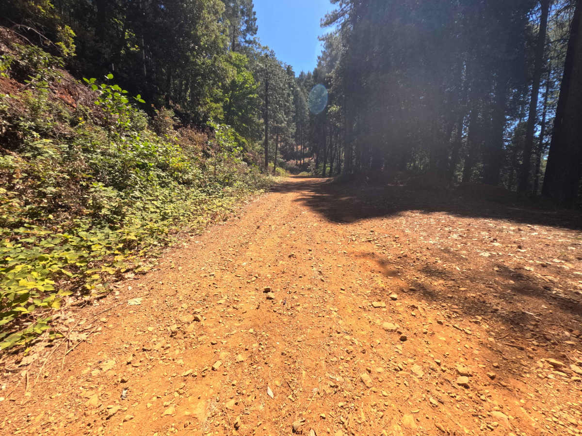
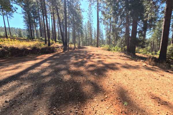
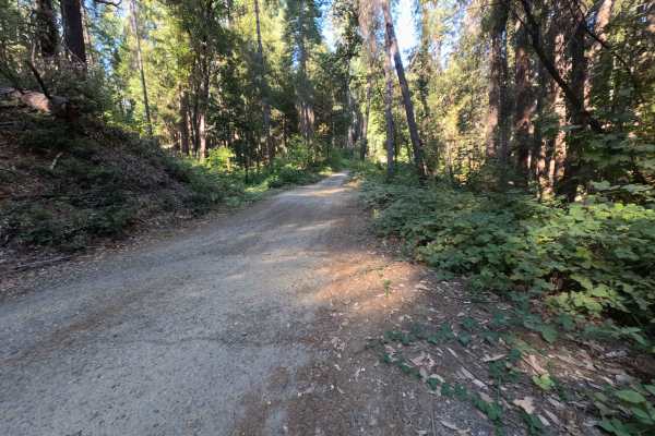
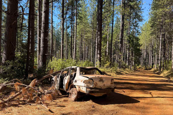
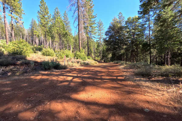
Pike CO Peak - FS 19N17 functions as a scenic mountain connector linking Forest Service Road 21 with Plantation - FS 19N16, offering elevated throughput across the forested crest of Pike County Peak. Situated in Plumas National Forest, the route travels through a lush, dense woodland of towering ponderosa pines, incense cedars, and black oaks before skirting sunlit ridge openings that reveal sweeping vistas of the rolling Sierra Nevada foothills. The roadway consists of a wide, single-lane corridor composed of hard-packed terracotta clay and light aggregate gravel, earning a Technical Rating of 1. Outdoor enthusiasts frequent this bypass for scenic ridgeline driving, dispersed camping tucked beneath the pines, seasonal hunting, and accessing elevated vantage points overlooking the surrounding Yuba River drainage. Whether driven northbound or southbound, the road serves as an easy and rewarding backcountry link between lower foothill arteries and deeper national forest trails.
Difficulty
Rated 1, this mountain route provides an easy and approachable driving experience throughout its run. The roadbed features firm native dirt, fine gravel, and smooth red clay that remains gentle and free of large rocks, deep ruts, or ledge steps. Drivers will encounter steady, moderate climbs and descents across the mountain shoulder, which are easily managed by maintaining constant throttle and following the cleanest line within the established wheel tracks. In dry weather, dry pine needles, fallen cones, and loose surface pebbles can slightly reduce cornering traction, calling for controlled speeds around blind curves. As a single-vehicle track, drivers should scan ahead for wider shoulder turnouts to yield courteously to oncoming traffic. While rain can create slick surface conditions on the clay, fair-weather travel is straightforward and requires no elevated ground clearance.

 Offroad