Trail Overview
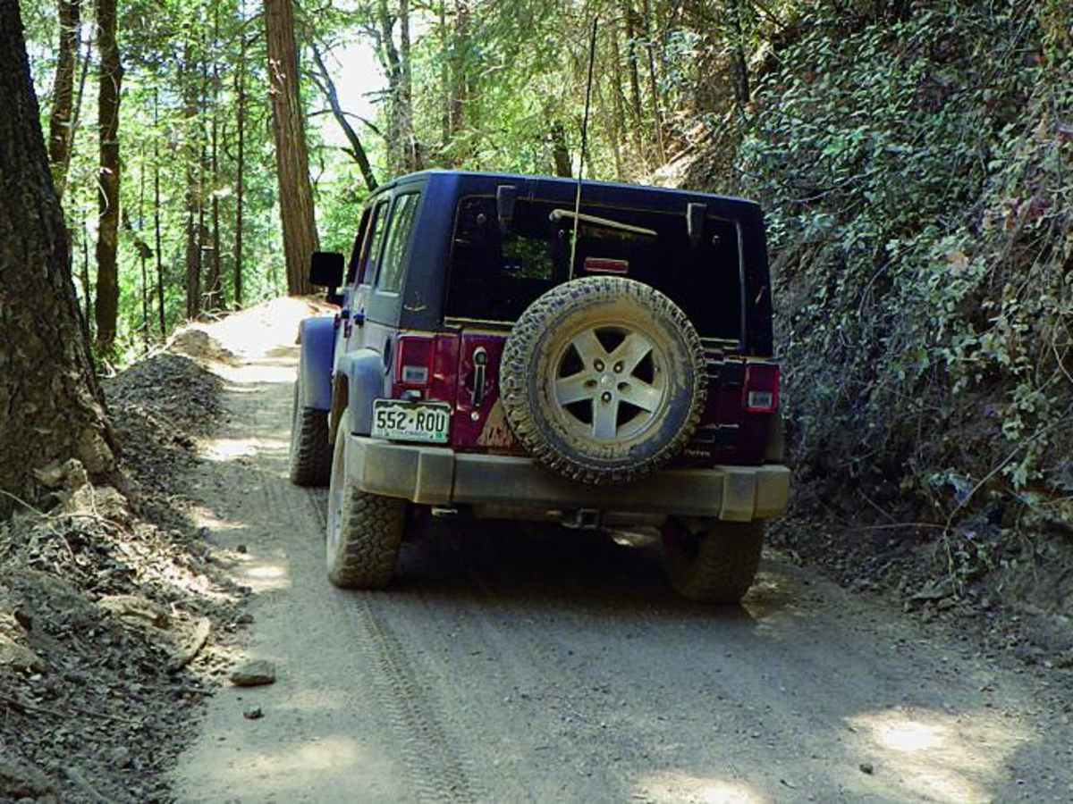
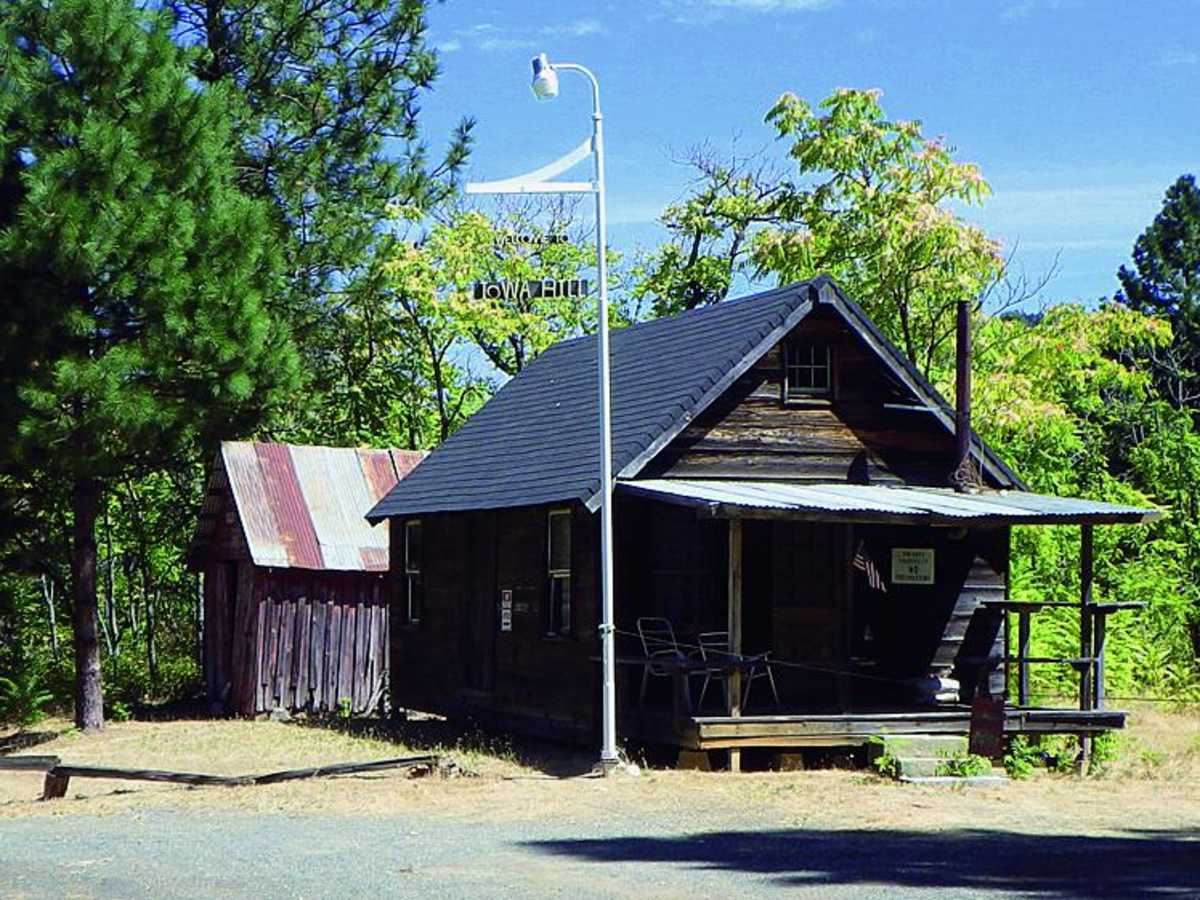
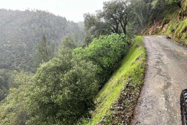
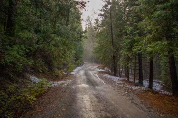
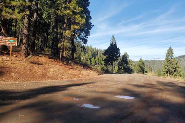
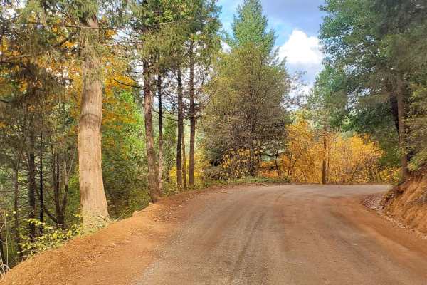
Shirttail Canyon is an easy, scenic loop ideal for stock four-wheel-drive vehicles and high-clearance SUVs looking for a relaxed journey through California's gold country. Starting just off Interstate 80 in Colfax, the route begins as a winding paved road that climbs into the Sierra foothills, passing through the historic mining town of Iowa Hill. As the pavement ends, the trail transitions into a narrow, winding dirt road wrapped in dense forest canopy, offering glimpses of historic hydraulic mining scars and steep, undercut cliffs.
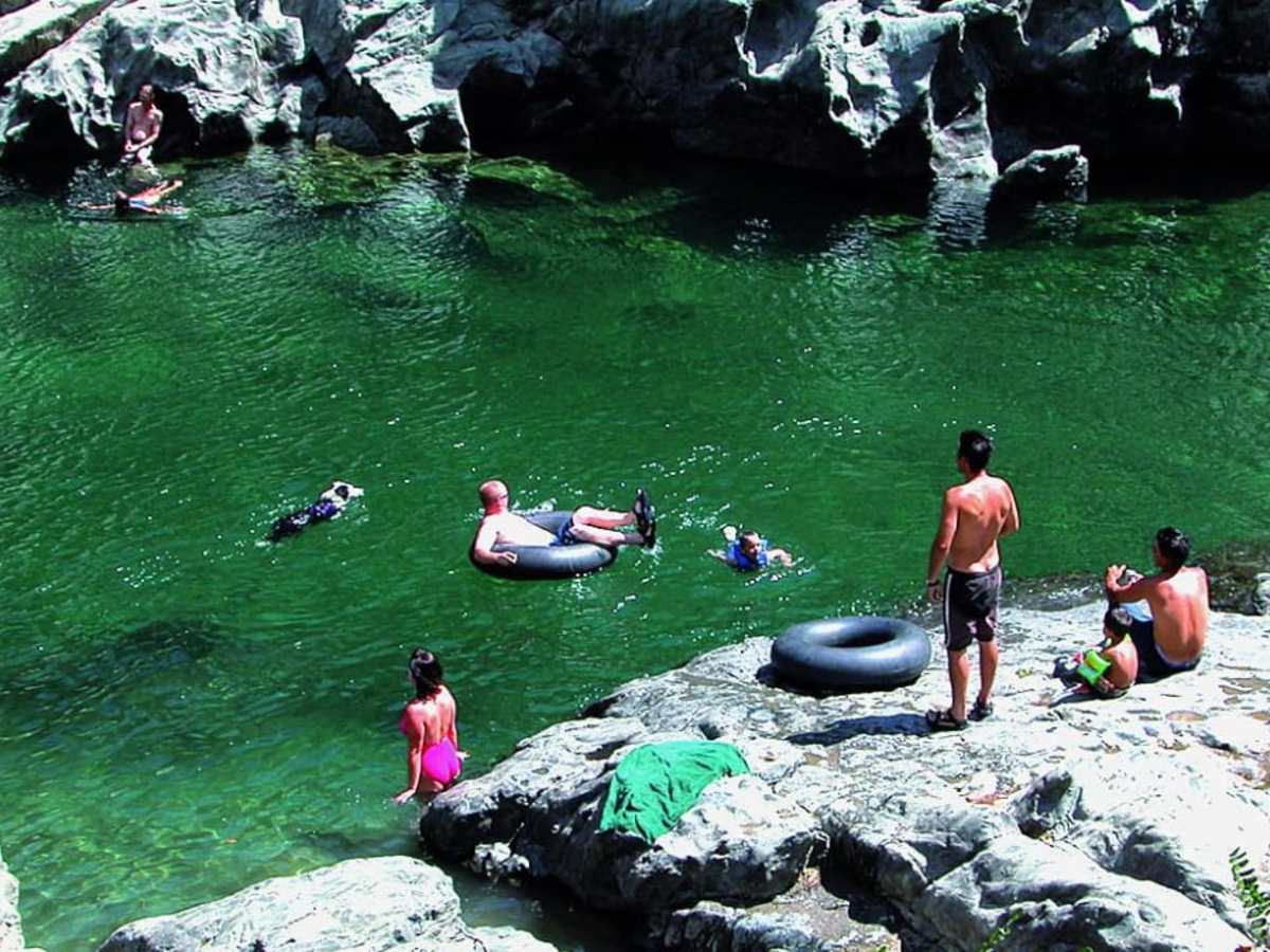
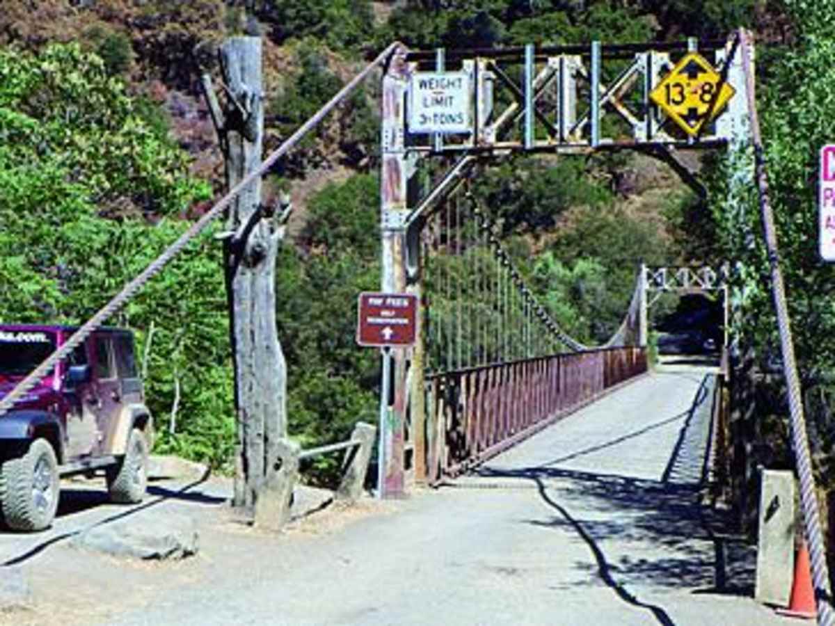
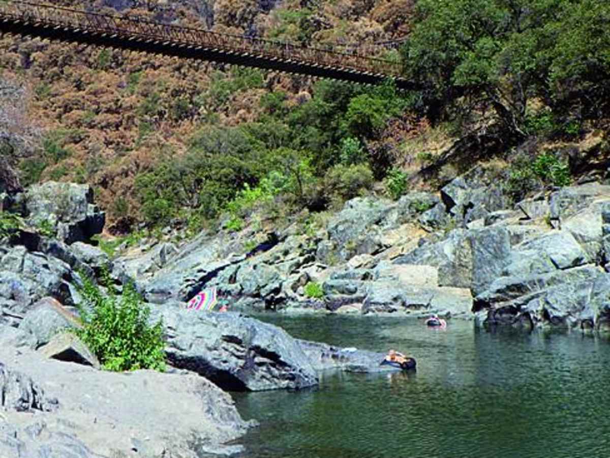
The route descends into the Auburn State Recreation Area, where travelers can access a popular swimming hole below the Colfax-Foresthill Suspension Bridge. This crystal-clear section of the American River is perfect for swimming, tubing, and picnicking, though visitors should note that a recreation fee is required. The trail is limited to street-legal vehicles only, making it a great day trip for registered dual-sports, overland rigs, and standard four-wheel-drive vehicles seeking a mix of history and riverside relaxation.
History
Gold was first discovered in Iowa Hill in 1853 and mining continued off and on into the 1930s. A few mines have been intermittently worked in recent years. Most mining has been hydraulic, scars of which you'll see along the route. One spot along Iowa Hill Road has sheer cliffs on each side of the road due to hydraulic undercutting.