
Beginner Off-Road Trails
Near Farmington, West Virginia
Explore All Beginner Trails Near Farmington, West Virginia
Beginner Off-Road Trails Near Farmington, West Virginia
Discover the best beginner-friendly off-road trails near you. These easier, lower-rated trails are a great place to start — browse trail maps, check difficulty ratings, and find your next adventure.
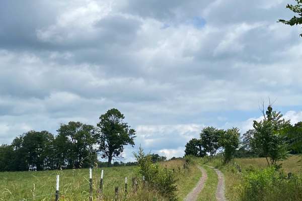
Calvert Shaver
This is another of our favorites. It connects Albright, WV to Rowlesburg, WV. You will start off climbing the mountain through some single-lane trails, eventually reaching a large flat top where you will pass through some open fields next to some cow pastures, eventually leading you back down into...
Learn more about Calvert Shaver
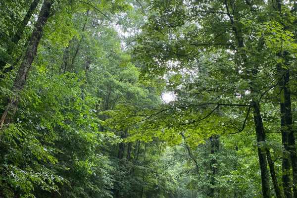
Snake Road
Snake Road is mostly larger gravel with the occasional mud or dirt thrown in. Expect some steep climbs and sharp turns. Also keep your eyes open for Black Bear or Deer in the area. Other wildlife is also abundant! This is a remote road, so be prepared and don't expect to see anyone else.
Learn more about Snake Road
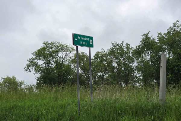
McCausland Hill Road
McCausland Hill Road is a gravel road that is simple to navigate; any car, truck, or SUV can make it through this road without any problems. Very few potholes, a few tight areas, but manageable for two vehicles to pass at once in some locations. Just keep an eye out for downed trees around turns. Th...
Learn more about McCausland Hill Road
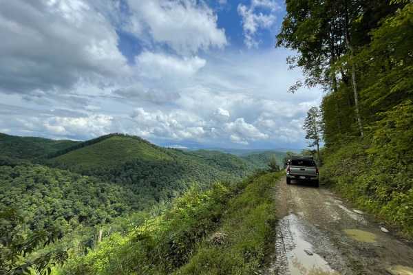
Hile Run Road
This is a GREAT road. Super scenic through the scenic mountains of West Virginia. Sections of this road become a single-lane shelf road, so you'll need to keep moving. Don't expect to see anyone except the random SXS. I would definitely name this the crown jewel in the area.
Learn more about Hile Run Road
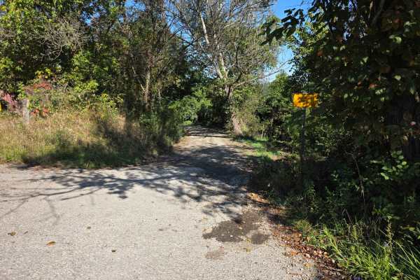
Halstead Hill Road
Halstead Hill Road is a gravel road that is fairly easy with a small hill and a few washboards. A few ninety-degree and one hundred and eighty-degree turns. No real hazards other than occasionally down tree and no guardrail. This road is not maintained in the winter. Cars could make this road.
Learn more about Halstead Hill Road
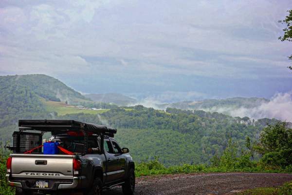
Close Mountain Road
This is the perfect spot to flex your 4 Low. This is a LONG and windy ascent to the top of the mountain. It's a substantially long elevation gain for East Coast travel if you count the hard top to the windmills. This route is mostly gravel with steep climbs and some sharp turns. It's buried amon...
Learn more about Close Mountain Road
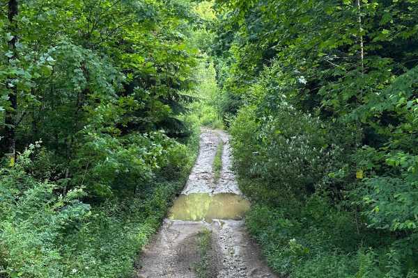
Long Run
This trail can be run in either direction, but this description starts from the north end at the following coordinates: 38.91771, -80.08878. There’s Civil War battle history regarding the bridge that crossed the Middle Fork River in 1861. Please note that this track combines several country roads ad...
Learn more about Long Run
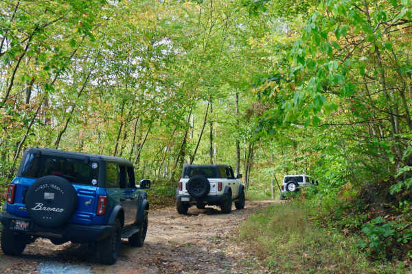
Dinner Bell to Sugarloaf Trail
This 5.2 mile trail starts by turning off U.S. Route 40. It runs along the border and then into Ohiopyle State Park. The trail begins after turning onto Dinner Bell - Ohioyple Road and turns to Pressley Ridge Road and Sarver Road. The trail consists of a nice mix of light gravel and dirt, with a f...
Learn more about Dinner Bell to Sugarloaf Trail
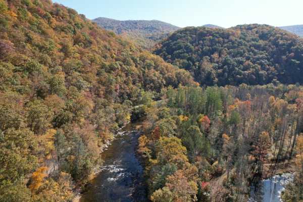
Parsons to Stone Lake Run
Parsons to Stone Lake Run is an easy, scenic gravel route ideal for beginners, overland travelers, and scenic drivers looking to experience the lush forests and river valleys of West Virginia. Spanning approximately 4.3 miles, this trail runs from the town of Parsons toward Stone Lake Run, ultimatel...
Learn more about Parsons to Stone Lake Run
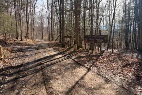
Sugar Camp
A dirt/gravel track with mild elevation gain, no real obstacles. Pay attention to logging, private property signs, etc. With the recent snow and rain, there was a decent amount of mud. This is a good trail for anyone testing out the River Road trail and wanting to mix it up. Additionally, it leads t...
Learn more about Sugar Camp
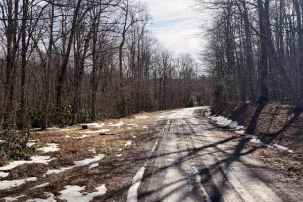
McGowen Mountain
This out-and-back trail is mostly gravel with some dirt mixed in at times. With the recent snow and ice was a beautiful drive. There are good views of the surrounding mountains and the windmills. Very relaxed ride which works well for those who want to take it easy, enjoy the view, and hit the hikin...
Learn more about McGowen Mountain
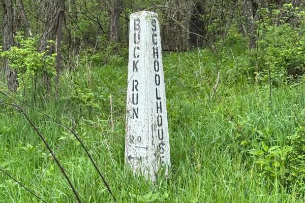
Buck Run Road
Buck Run Road is primarily a graded gravel road with sections of dirt. It is an easy ride in the summer months. However, there is no winter maintenance. The road can become rutted and harder to travel on during rain, snow, and ice. The southern half of the road is partially paved and not shown on on...
Learn more about Buck Run Road
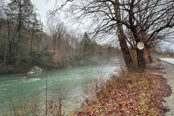
Beans Mill
Start this route in Buckhannon by taking WV-20 south to Sago Road for 5 miles. This section is paved but scenic, running alongside the emerald-hued Buckhannon River. The road transitions to dirt and gravel. At Big Bend Church (38.88129, -80.21359), take the road perpendicular to the parking lot call...
Learn more about Beans Mill
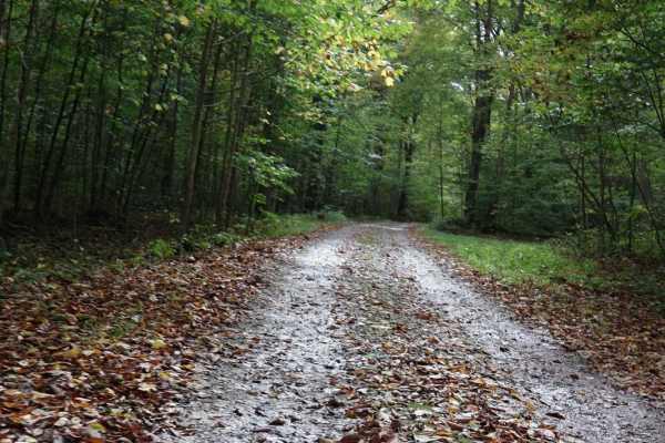
Cucumber Road Loop
Cucumber Road runs through the Picnic Area parallel to Cucumber Run Falls and can be completed as a loop. There are several picnic sites on both sides of the trail. It is one vehicle wide but there are plenty of places to pull to the side to allow others to pass or to stop.
Learn more about Cucumber Road Loop
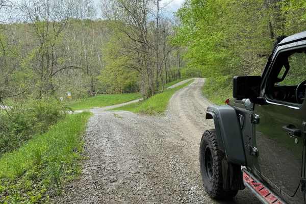
Ramage Road
Ramage Road is primarily a graded gravel road with sections of dirt. It is an easy ride in the summer months. However, there is no winter maintenance. The road can become rutted and harder to travel on during rain, snow, and ice. Ramage Road connects PA State Route 231 to State Game Land 232 and is ...
Learn more about Ramage Road
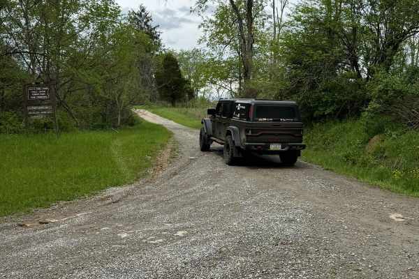
Young Road
Young Road is primarily a graded gravel road with sections of dirt. It is an easy ride in the summer months. However, there is no winter maintenance. The road can become rutted and harder to travel on during rain, snow, and ice. The eastern third of the road is partially paved and not shown on onX.
Learn more about Young Road
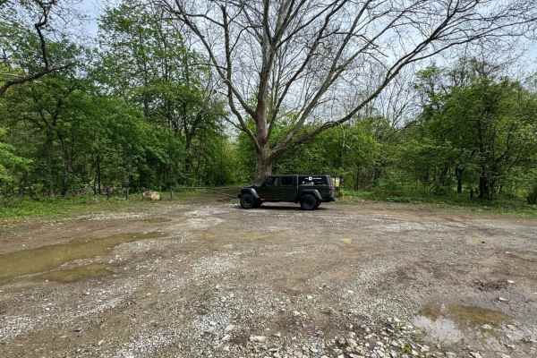
Williams Road
Williams Road is primarily a graded gravel road with sections of dirt. It is an easy ride in the summer months; however, there is no winter maintenance. During rain, snow, and ice, the road can become rutted and harder to travel on. Buck Run Creek is along Williams Road.
Learn more about Williams Road

Shaler Road
Shaler Road is primarily a graded gravel road with sections of dirt. It is an easy ride in the summer months. However, there is no winter maintenance. The road can become rutted and harder to travel on during rain, snow, and ice. The eastern half of Shaler Road is dirt and gravel up to the intersect...
Learn more about Shaler Road
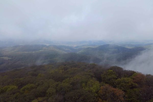
Canyon Rim Road
This route travels from just outside Thomas, WV connecting back to WV 48. The route is not well maintained and has varying terrain. Mud and natural rock make up the base with some small washes and ledges throughout. Several small stream crossings with flow dependent on recent weather. Multiple sceni...
Learn more about Canyon Rim Road
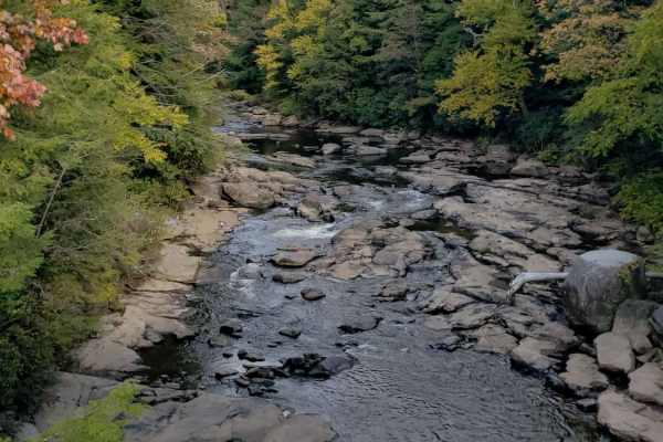
Canaan Loop
Canaan Loop is a 2 way trail passing through the Monongahela National Forest entering or exiting from either WV 32 or Black Water Falls State Park. A mix of dense rhododendron, evergreen, and hardwood foliage encroaches on the trail throughout the section closest to the state park. There are several...
Learn more about Canaan Loop
Beginner ATV trails near Farmington, West Virginia
Explore ATV-friendly trails near you. These trails are accessible for vehicles up to 50 inches wide, perfect for ATVs and smaller off-road machines.
Long Run
This trail can be run in either direction, but this description starts from the north end at the following coordinates: 38.91771, -80.08878. There’s Civil War battle history regarding the bridge that crossed the Middle Fork River in 1861. Please note that this track combines several country roads ad...
Learn more about Long Run
Sugar Camp
A dirt/gravel track with mild elevation gain, no real obstacles. Pay attention to logging, private property signs, etc. With the recent snow and rain, there was a decent amount of mud. This is a good trail for anyone testing out the River Road trail and wanting to mix it up. Additionally, it leads t...
Learn more about Sugar Camp
McGowen Mountain
This out-and-back trail is mostly gravel with some dirt mixed in at times. With the recent snow and ice was a beautiful drive. There are good views of the surrounding mountains and the windmills. Very relaxed ride which works well for those who want to take it easy, enjoy the view, and hit the hikin...
Learn more about McGowen Mountain
Beans Mill
Start this route in Buckhannon by taking WV-20 south to Sago Road for 5 miles. This section is paved but scenic, running alongside the emerald-hued Buckhannon River. The road transitions to dirt and gravel. At Big Bend Church (38.88129, -80.21359), take the road perpendicular to the parking lot call...
Learn more about Beans Mill
Beginner UTV/side-by-side trails near Farmington, West Virginia
Find UTV and side-by-side trails near you. These trails accommodate vehicles up to 60 inches wide, ideal for UTVs, side-by-sides, and wider off-road rigs.
McCausland Hill Road
McCausland Hill Road is a gravel road that is simple to navigate; any car, truck, or SUV can make it through this road without any problems. Very few potholes, a few tight areas, but manageable for two vehicles to pass at once in some locations. Just keep an eye out for downed trees around turns. Th...
Learn more about McCausland Hill Road
Halstead Hill Road
Halstead Hill Road is a gravel road that is fairly easy with a small hill and a few washboards. A few ninety-degree and one hundred and eighty-degree turns. No real hazards other than occasionally down tree and no guardrail. This road is not maintained in the winter. Cars could make this road.
Learn more about Halstead Hill Road
Long Run
This trail can be run in either direction, but this description starts from the north end at the following coordinates: 38.91771, -80.08878. There’s Civil War battle history regarding the bridge that crossed the Middle Fork River in 1861. Please note that this track combines several country roads ad...
Learn more about Long Run
Parsons to Stone Lake Run
Parsons to Stone Lake Run is an easy, scenic gravel route ideal for beginners, overland travelers, and scenic drivers looking to experience the lush forests and river valleys of West Virginia. Spanning approximately 4.3 miles, this trail runs from the town of Parsons toward Stone Lake Run, ultimatel...
Learn more about Parsons to Stone Lake Run
The onX Offroad Difference
onX Offroad combines trail photos, descriptions, difficulty ratings, width restrictions, seasonality, and more in a user-friendly interface. Available on all devices, with offline access and full compatibility with CarPlay and Android Auto. Discover what you're missing today!
Open Trail Map