
Beginner Off-Road Trails
Near Allisonia, Virginia
Explore All Beginner Trails Near Allisonia, Virginia
Beginner Off-Road Trails Near Allisonia, Virginia
Discover the best beginner-friendly off-road trails near you. These easier, lower-rated trails are a great place to start — browse trail maps, check difficulty ratings, and find your next adventure.
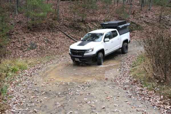
Pond Lick Road
This dirt track travels just north of Gatewood Reservoir. At just under 3 miles, it's a great quick run, or you can add to a route that includes some of the other local forest roads. There are a few ruts and mud holes, but nothing too extreme, and unless there was a lot of rain, it shouldn't be an i...
Learn more about Pond Lick Road
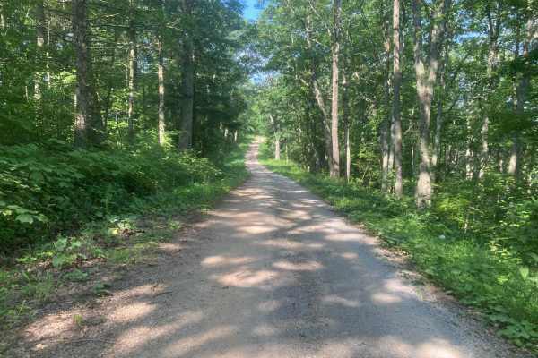
Iron Mountain
This road is fairly easy and should not require 4WD unless it is very wet. Wildlife is abundant including deer, grouse, and turkey. The side route to Comer's Rock provides a scenic overlook after a short hike. Much of the trail would have good views in the winter, but most of the views are blocked b...
Learn more about Iron Mountain
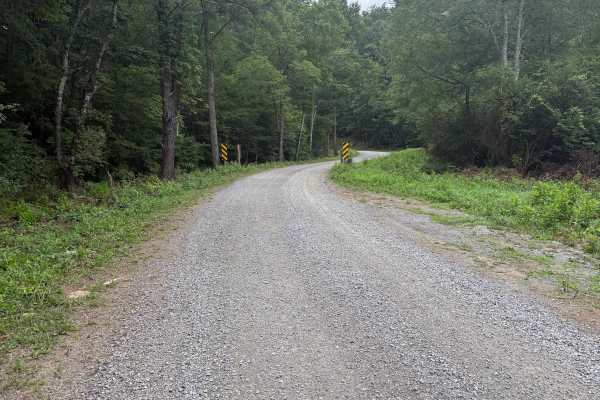
Dry Run
This mostly gravel road is fairly easy and does not require 4WD or significant ground clearance. This road appears to be used primarily for accessing horse camp sites, which are numerous. The largest horse camping area is the Hussy Mountain Horse Camp, which has a picnic area and restrooms. The road...
Learn more about Dry Run
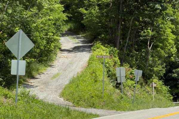
Walker Mountain - FS 206
Walker Mountain - FS 206 is a Forest Service road running along the ridgeline of Walker Mountain within the Jefferson National Forest. The first half of the route is a relatively easy, maintained dirt road with occasional potholes and some encroaching brush. Around the halfway point, the trail passe...
Learn more about Walker Mountain - FS 206
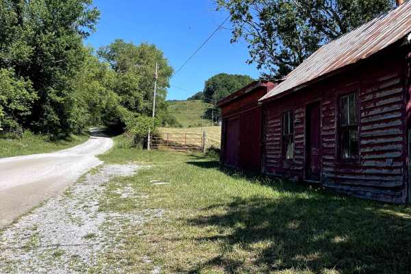
Blue Springs Road
Blue Springs Road is a scenic, hard-packed dirt and gravel forest road that provides access to both Hale Lake and Comers Rock recreation areas. The route is easy to navigate under normal conditions and is suitable for all high-clearance vehicles, as well as most smaller AWD vehicles. A large dispers...
Learn more about Blue Springs Road
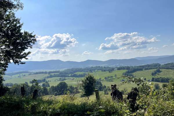
State Route 623
State Route 623 begins or ends in the Sharon Springs community and offers one of the most scenic drives in the area. This hard-packed gravel and dirt route is easy to traverse and provides breathtaking views throughout the journey. The trail winds through valleys, open meadows, and rural landscapes ...
Learn more about State Route 623
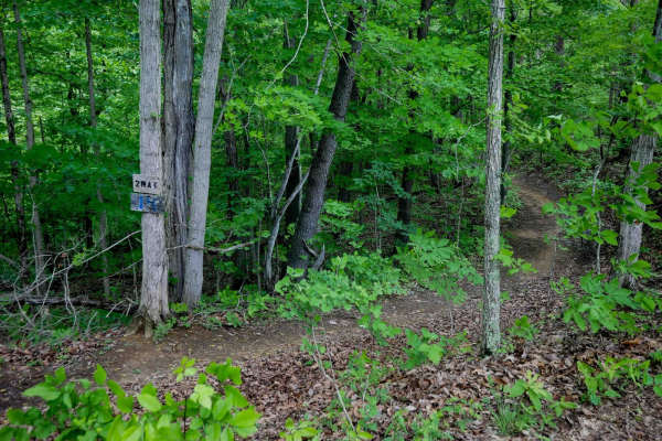
Trail 14
Trail 14 drops off from Trail 7 and descends through dense forest on a wide, smooth path. The surface has minor loose rock and shallow ruts but remains easy to navigate. The trail is directional from south to north and winds through tall trunks of maple and hop-hornbeam under a thick leafy canopy, o...
Learn more about Trail 14
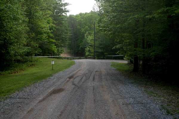
Gravel Road
The main road through Kairos starts on Shumate Falls Road as a paved road with a really steep grade. It's a bit tight and windy in the beginning, but still manageable for RVs, you just might want to use low range if pulling a large RV during the steep grade. It turns into gravel after you start pass...
Learn more about Gravel Road
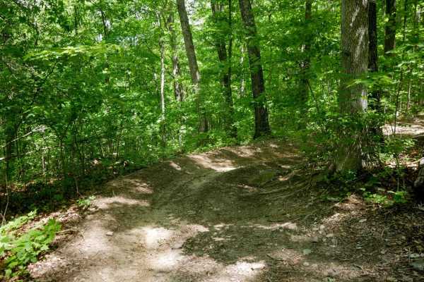
Trail 13
Trail 13 is a short, 500-yard connector between Trails 14 and 7, directional from south to north. It winds through dense forest with a few slightly steeper spots, but overall it's a smooth and easy trail suitable for all skill levels. It's a simple spur that allows for some alternate routes in the s...
Learn more about Trail 13
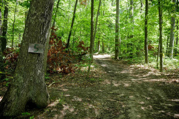
Trail 5
Trail 5 is a short spur, less than a quarter mile long, that provides a smooth and easy bailout from Trail 4 to the main road (directional south to north only). The wide path winds through the trees with minor ruts, loose rocks, leaf decay, sticks, and occasional roots, but remains very manageable a...
Learn more about Trail 5
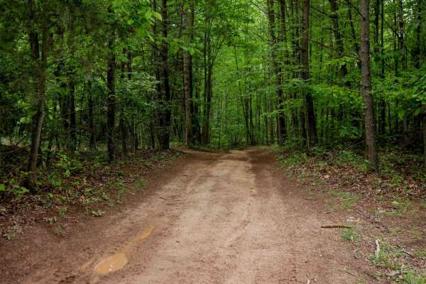
Trail 1
This wide, smooth 1-mile loop begins at the middle entrance and travels clockwise through the Kairos trail system. Expect shallow ruts, a few muddy puddles, and a mud hole with an optional bypass. The trail surface features minor leaf decay and small loose rocks, but remains mostly clear and easy to...
Learn more about Trail 1
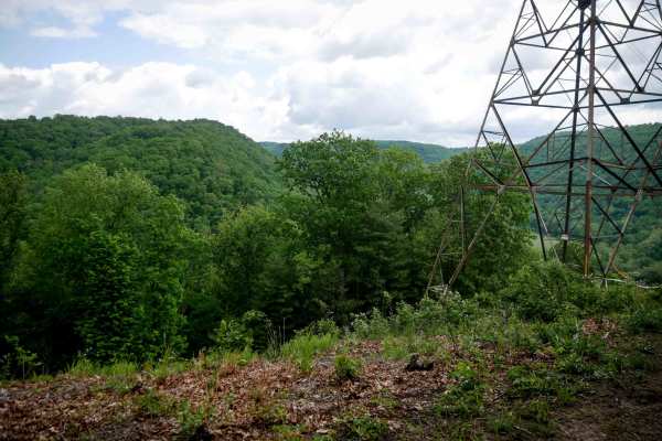
Trail 3
This is a short spur off Trail 1. This easy trail stretches less than a quarter mile and leads to a scenic overlook beneath the power lines. The wide path is lightly rutted with scattered sticks, loose rocks, and some leaf decay, but remains accessible for most riders, with hardly any technical elem...
Learn more about Trail 3
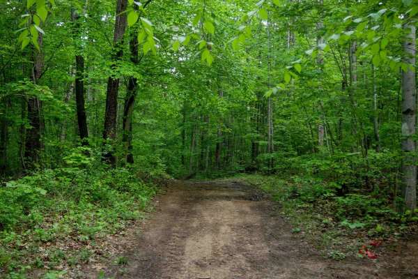
Trail 2
This is a very short 160-yard spur connecting Trail 1 back to the main road, Trail 2 serves as a directional bailout route (north to south only). The trail is smooth and easy, with virtually no ruts or rocks--ideal for a quick, non-technical exit. Overall, it's great for all skill levels.
Learn more about Trail 2
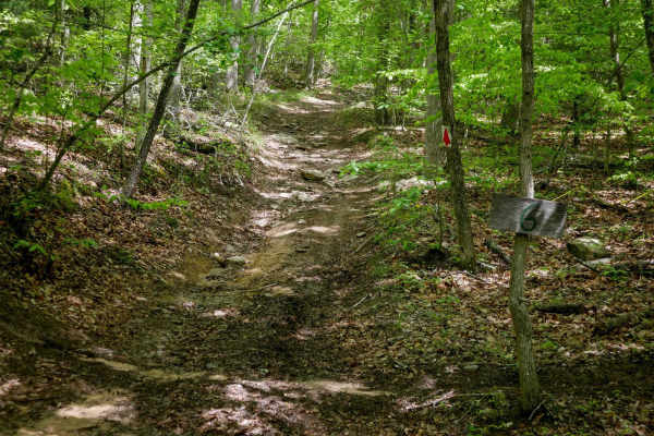
Trail 6
Trail 6 is a very short 270 yard bailout route from Trail 4 back to the field camping area along the main road. It is lightly rutted with slightly more loose rock than Trail 4, but still easy overall. The entrance from Trail 4 is somewhat faint and can be easy to miss.
Learn more about Trail 6
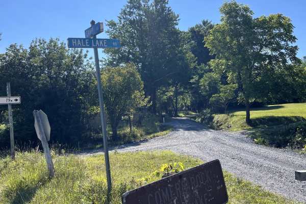
Hale Lake Road
Hale Lake Road (FS 798) can be accessed from either Camp Road or Blue Springs Road and is a well-maintained forest road that provides a scenic, easy drive through the George Washington and Jefferson National Forest. The route offers convenient access to Blue Springs Road, where several National Fore...
Learn more about Hale Lake Road

Trail 4
Trail 4 is a 1.3-mile loop that continues from the east end of Trail 1 across the main road, running directionally in a clockwise direction. It features a wide path with shallow ruts, large mud puddles, and sweeping corners through dense forest. The terrain includes gentle hills that dip into small ...
Learn more about Trail 4
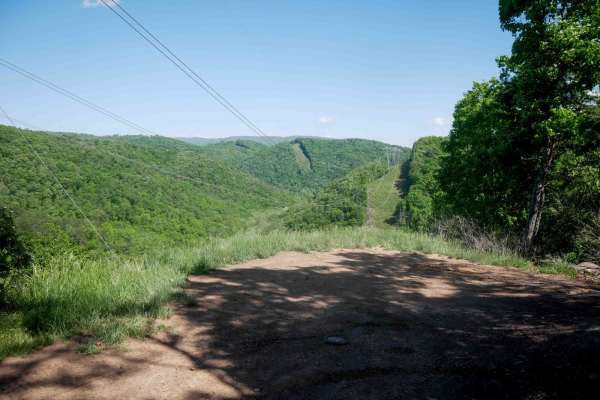
Trail 21
Trail 21 is a 1.7-mile easy trail that allows two-way travel. The south end begins with a small rocky stream crossing and some loose rock, gradually climbing up from the Trail 26 bypass. The route parallels a ravine on a wide path with a couple of additional shallow stream crossings along the way. M...
Learn more about Trail 21
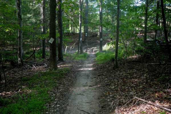
Single Track 3
This 1.8-mile single track begins on UTV Trail 5, looping through the forest around the campground and ending near the office. The trail has a smooth surface with minimal rocks or roots, just a few shallow muddy ruts and gentle curves. There's little elevation change and good visibility throughout, ...
Learn more about Single Track 3
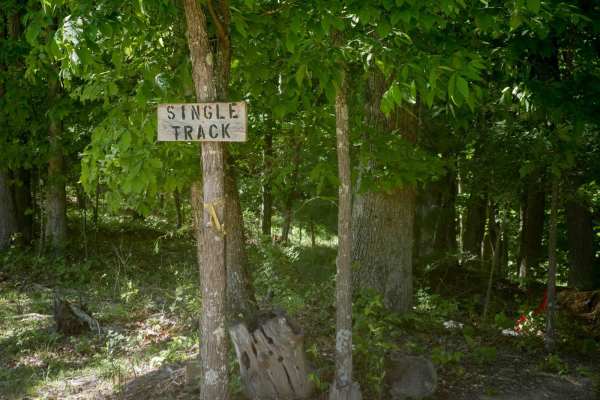
Single Track 1
Trail 23 follows a rocky route that parallels Cooper Branch and crosses the rocky stream bed several times. While water flow is typically low, the trail surface comprises loose rock, roots, and slick spots. There are occasional split lines through the trees where the trail merges with or diverges fr...
Learn more about Single Track 1
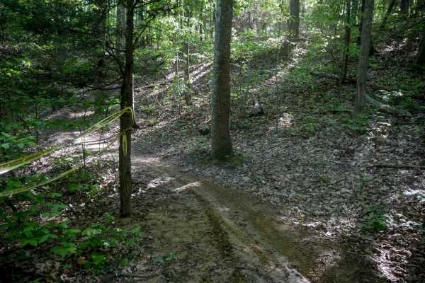
Single Track 2
This 2.8-mile single track starts at the main road on the north end and winds through the forest, crossing UTV Trail 4 multiple times before ending at UTV Trail 5, which will take you back out to the main road. The trail is narrow and meandering with tight turns through the trees, but maintains a fa...
Learn more about Single Track 2
Beginner ATV trails near Allisonia, Virginia
Explore ATV-friendly trails near you. These trails are accessible for vehicles up to 50 inches wide, perfect for ATVs and smaller off-road machines.
Trail 14
Trail 14 drops off from Trail 7 and descends through dense forest on a wide, smooth path. The surface has minor loose rock and shallow ruts but remains easy to navigate. The trail is directional from south to north and winds through tall trunks of maple and hop-hornbeam under a thick leafy canopy, o...
Learn more about Trail 14
Gravel Road
The main road through Kairos starts on Shumate Falls Road as a paved road with a really steep grade. It's a bit tight and windy in the beginning, but still manageable for RVs, you just might want to use low range if pulling a large RV during the steep grade. It turns into gravel after you start pass...
Learn more about Gravel Road
Trail 13
Trail 13 is a short, 500-yard connector between Trails 14 and 7, directional from south to north. It winds through dense forest with a few slightly steeper spots, but overall it's a smooth and easy trail suitable for all skill levels. It's a simple spur that allows for some alternate routes in the s...
Learn more about Trail 13
Trail 5
Trail 5 is a short spur, less than a quarter mile long, that provides a smooth and easy bailout from Trail 4 to the main road (directional south to north only). The wide path winds through the trees with minor ruts, loose rocks, leaf decay, sticks, and occasional roots, but remains very manageable a...
Learn more about Trail 5
Beginner UTV/side-by-side trails near Allisonia, Virginia
Find UTV and side-by-side trails near you. These trails accommodate vehicles up to 60 inches wide, ideal for UTVs, side-by-sides, and wider off-road rigs.
Trail 14
Trail 14 drops off from Trail 7 and descends through dense forest on a wide, smooth path. The surface has minor loose rock and shallow ruts but remains easy to navigate. The trail is directional from south to north and winds through tall trunks of maple and hop-hornbeam under a thick leafy canopy, o...
Learn more about Trail 14
Gravel Road
The main road through Kairos starts on Shumate Falls Road as a paved road with a really steep grade. It's a bit tight and windy in the beginning, but still manageable for RVs, you just might want to use low range if pulling a large RV during the steep grade. It turns into gravel after you start pass...
Learn more about Gravel Road
Trail 13
Trail 13 is a short, 500-yard connector between Trails 14 and 7, directional from south to north. It winds through dense forest with a few slightly steeper spots, but overall it's a smooth and easy trail suitable for all skill levels. It's a simple spur that allows for some alternate routes in the s...
Learn more about Trail 13
Trail 5
Trail 5 is a short spur, less than a quarter mile long, that provides a smooth and easy bailout from Trail 4 to the main road (directional south to north only). The wide path winds through the trees with minor ruts, loose rocks, leaf decay, sticks, and occasional roots, but remains very manageable a...
Learn more about Trail 5
The onX Offroad Difference
onX Offroad combines trail photos, descriptions, difficulty ratings, width restrictions, seasonality, and more in a user-friendly interface. Available on all devices, with offline access and full compatibility with CarPlay and Android Auto. Discover what you're missing today!
Open Trail Map