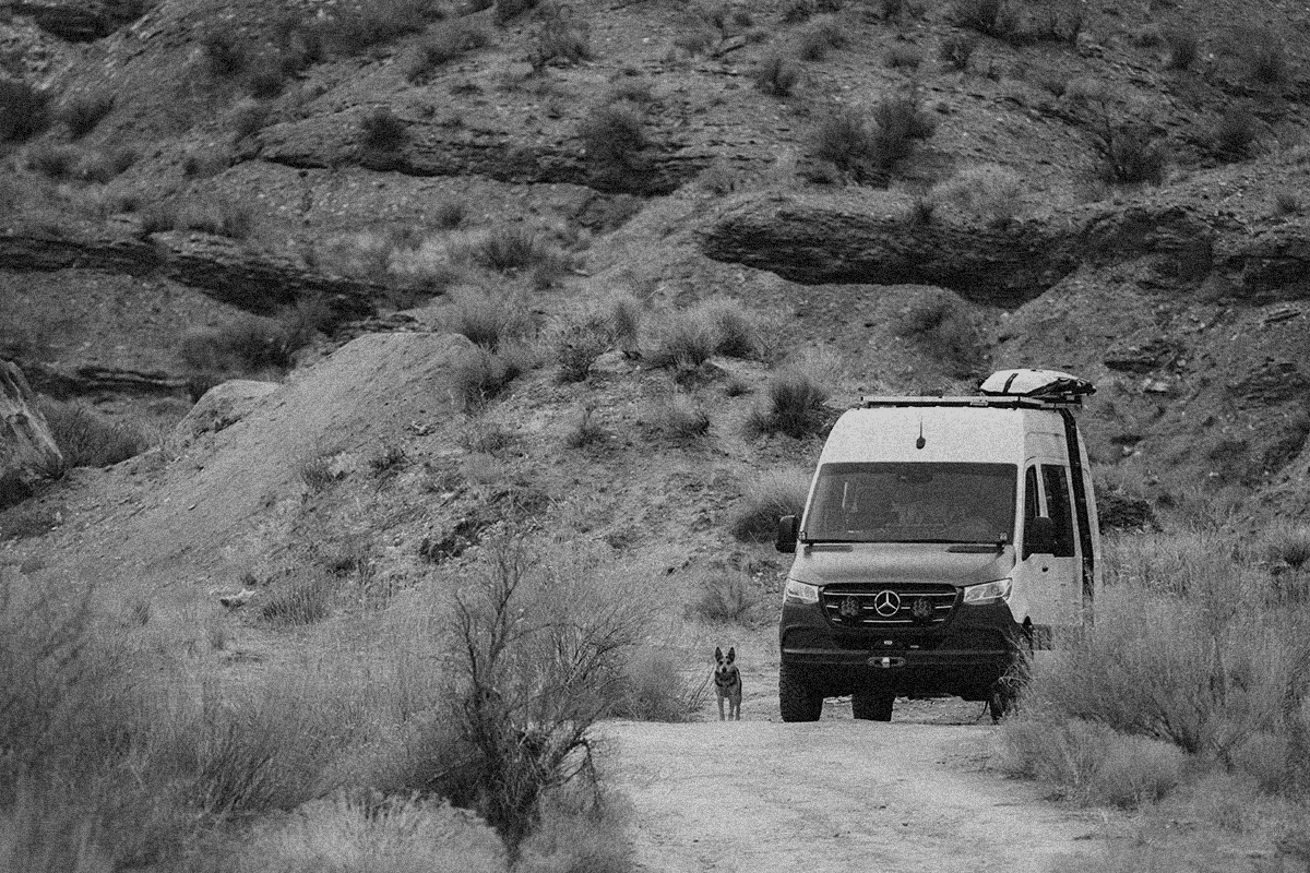
#1 4X4, OHV & Offroad Trails Near Me App
650k+ miles of trails and open roads
650k+ miles of trails and open roads
5,000 Paper Maps on Your Phone
The onX Offroad App provides access to detailed satellite imagery, topo maps and trail descriptions across all fifty states. Quickly locate recreation points like campsites, trailheads and fishing accesses. In addition to trails and roads, onX Offroad highlights 4X4 and off-road tracks and riding areas with color-coded maps. onX Offroad is the most trusted off-road app for off-road enthusiasts.
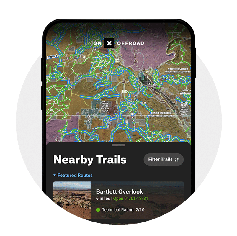
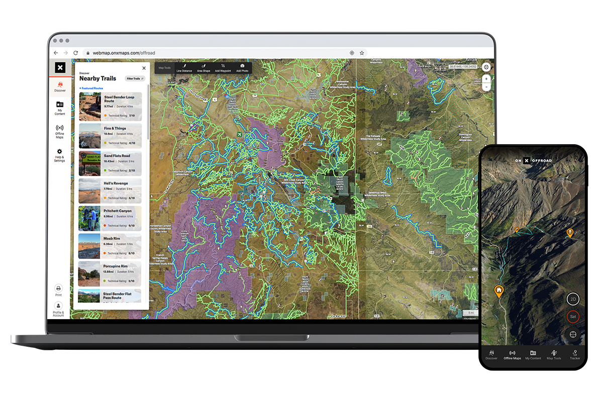
How to Find Off-Road Trails Near You
Filter trails by your vehicle, such as side-by-side or 4X4, and then zoom in to find open trails. Green=open and ready for riding. Red=temporarily closed. Blue=Featured Trails with detailed descriptions, difficulty and photos. Tap a trail for more information like closure dates, trail descriptions and land management. Once you’re on the trail, onX Offroad helps you navigate and Track your trip, even when you’re out of service.
Everything You Need to Explore Farther
Wherever you live or travel, use the onX Offroad App to explore new places by zooming in on the map to find new trails. Scroll around and look for green, open trails. Additionally, you can easily find public lands and boundaries on your phone, tablet and computer. Yellow land=BLM. Green land=National Forest. Purple land=national parks. Plan your trip around recreation points, such as one of the 500,000 points of interest in the App, like campgrounds and dispersed campsites, forest service cabins, fuel stations and trailheads.
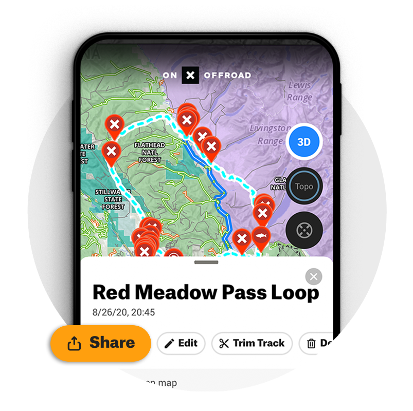
Your Off-Road Maps, Your Way
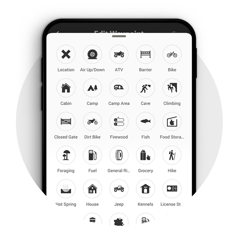
Customize your onX Offroad App by tapping a location on the map to add your own Waypoints for campsites, swimming holes, trailheads or difficulty ratings. Track your route, distance and speed, and save the Track for reference. Easily share Waypoints and Tracks with other onX Offroad users. All data syncs between your iPhone or Android, tablet, and computer.
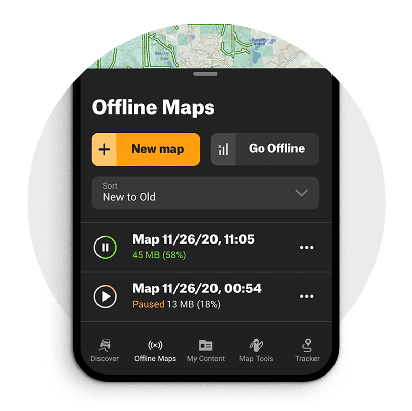
Unlimited Offline Maps—No Cell Service Required
Download the map of where you want to off-road before heading out of service. Choose the map detail level and pan or zoom to select an area of the map to save. Maps are stored on your iPhone or iPad; no service is required to view trails and add Waypoints. Navigate and Track your trips, even without service, using your phone or tablet’s GPS.
3D Maps, Weather, and More
Join thousands of off-roaders in planning and discovering 650K+ miles of off-road trails. Keep all of your trails, Tracks, campsites, and markups in one App. No need for an expensive GPS unit, with the onX Offroad app, you have all you need to navigate safely while out on the trail.
Find OHV Trails Near You
View OHV trails across the United States using our trail finder. See trail descriptions, difficulty ratings, photos, and maps of Off-Highway Vehicle Trails. Explore OHV Trails near you and plan your next adventure using the onX Offroad App.
EXPLORE WITH CONFIDENCE
onX Offroad is the most trusted off-road, 4X4 and OHV map app.