The Most Trusted and Accurate Hunting GPS App for Android
Featuring public and private landowner data, wind and weather forecasts, custom Waypoints and more starting at $34.99/year
Featuring public and private landowner data, wind and weather forecasts, custom Waypoints and more starting at $34.99/year
Made by Hunters for Hunters
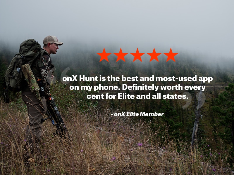
onX Hunt is the #1-rated hunting app for Android. Founded in 2009, onX Hunt has helped thousands of hunters across the country navigate challenging landscapes with 985 million acres of public land, 9,568 unique hunting units, and 421 map overlays and counting. Over 256,000 reviews with an average 4.9-star rating in the App Store. Get a free 7-day trial now. >>

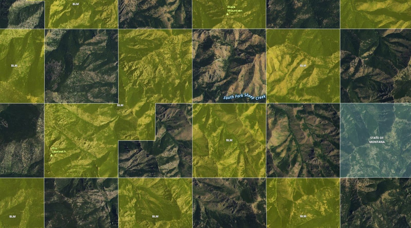
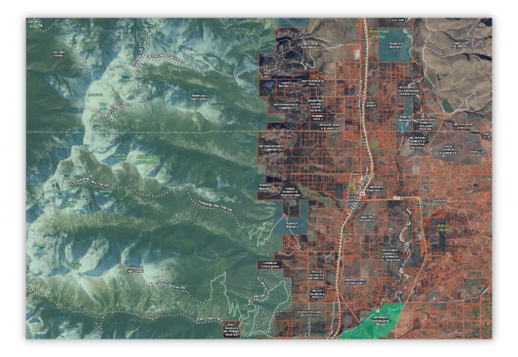
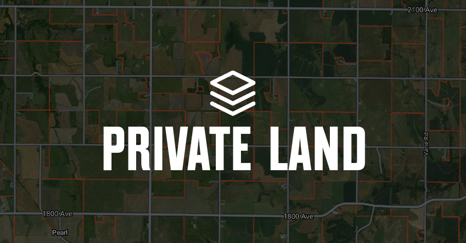
Locate Property Boundaries With Ease
The onX Hunt App for Android provides the most accurate and up-to-date private and public land maps with 121 million private properties, 985 million acres of public land, and more than 400,000 miles of trails. With layers for private parcels, hunting unit boundaries, and more, you can quickly and easily identify property lines and discover good hunting land.
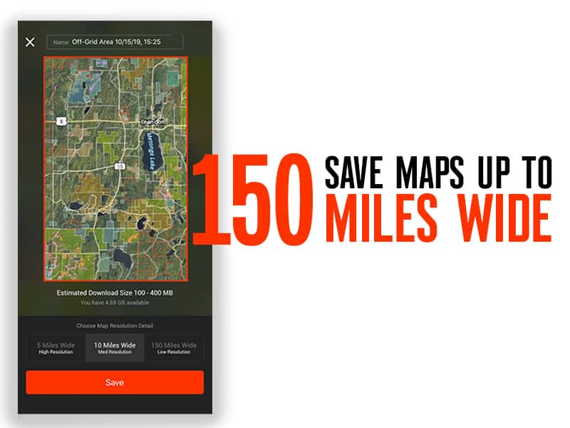
Access Maps Without Cell Service
Even in the backcountry without a cell signal, you will have access to the most reliable map data available. Offline Maps are one of the favorite features among hunters using onX Hunt. They allow you to save maps to your Android phone and even access layers while navigating areas without coverage. And with recent updates, maps load 10x faster and crisper at higher zoom levels.
START MAPPING TODAY
Find the best public hunting land. With Offline Maps, Waypoints, Lidar Maps, and more, onX Hunt is the #1 app for hunters.
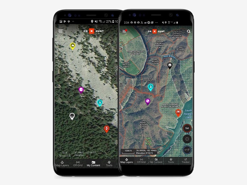
Save and Share Favorite Hunting Spots
Waypoints in onX Hunt allow you to tailor maps to your specific hunting needs. For example, if you’re a whitetail hunter in the East, you can create colored Waypoints to indicate the location of treestands that are most productive in the morning vs those you’d prefer to hunt in the evening. And with our new photo upload option, you can provide extra visual information to help your friends find your location.

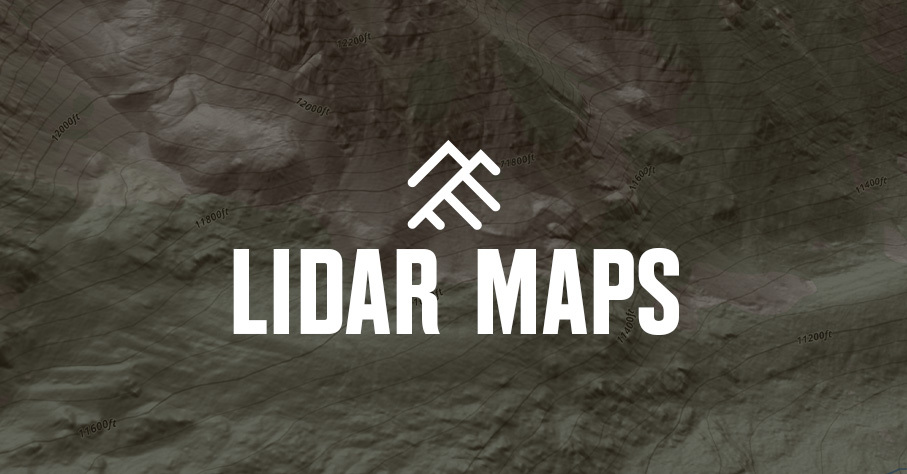
Reveal Critical Terrain Features to Locate Game
Using the Topo Basemap within onX Hunt, you can identify peaks, valleys, and other features to narrow your search for game hotbeds. Basins and wallows, for example, tend to hold elk, and creeks and ponds create natural funnels for deer traffic. When combined with the onX Hunt Aerial Basemap, you get the most comprehensive view of a landscape to make more informed decisions.
Scout from Home With onX Web Map
Hunters who subscribe to the Android App also get complete access to the onX Web Map. This is especially advantageous for E-Scouting, allowing you to research and evaluate a hunting area before you set foot in it. Combined with Hunt Research Tools, the premier hunt planning resource, you can increase your chances of success during limited hunting seasons.
Explore More onX Hunt Features


FAQs: onX Hunt App for Android
Yes. The onX Hunt App is fully available for Android devices. You can download it from the Google Play Store to access land ownership maps, property lines, offline maps, and hunt-specific features.
Open the Google Play Store, search for “onX Hunt,” and tap Install. Once downloaded, sign in or create an account to start using the app’s GPS maps, tracking tools, and property line data.
The Android app includes all the same features as other platforms—property line maps, public and private land boundaries, Offline Maps, Waypoint marking, and Tracker for tracking your routes in the field.
Yes. The onX Hunt App supports Android Auto, letting you view maps, routes, and Waypoints safely on your vehicle’s dashboard screen during travel to and from your hunting area.