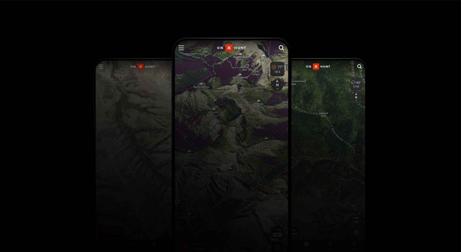
Aerial Maps and Terrain Analysis
Ready for a New Mapping Experience?
Ready for a New Mapping Experience?
View and analyze places to hunt like never before. Through maps with more detail and recency, you’ll be able to visualize and dissect any landscape so when you put boots on the ground, you’ll know exactly where you’ll want to stand.
Check out the suite of aerial and terrain analysis features onX Hunt has built just for you.
LIDAR
See What You’ve Been Missing
Lidar maps cut through canopy and clutter to reveal true elevation. Find hidden benches, pinch points, and ditches that shape whitetail movement. It’s the edge every serious hunter needs. The landscape is speaking, and lidar lets you hear it.

With
Without
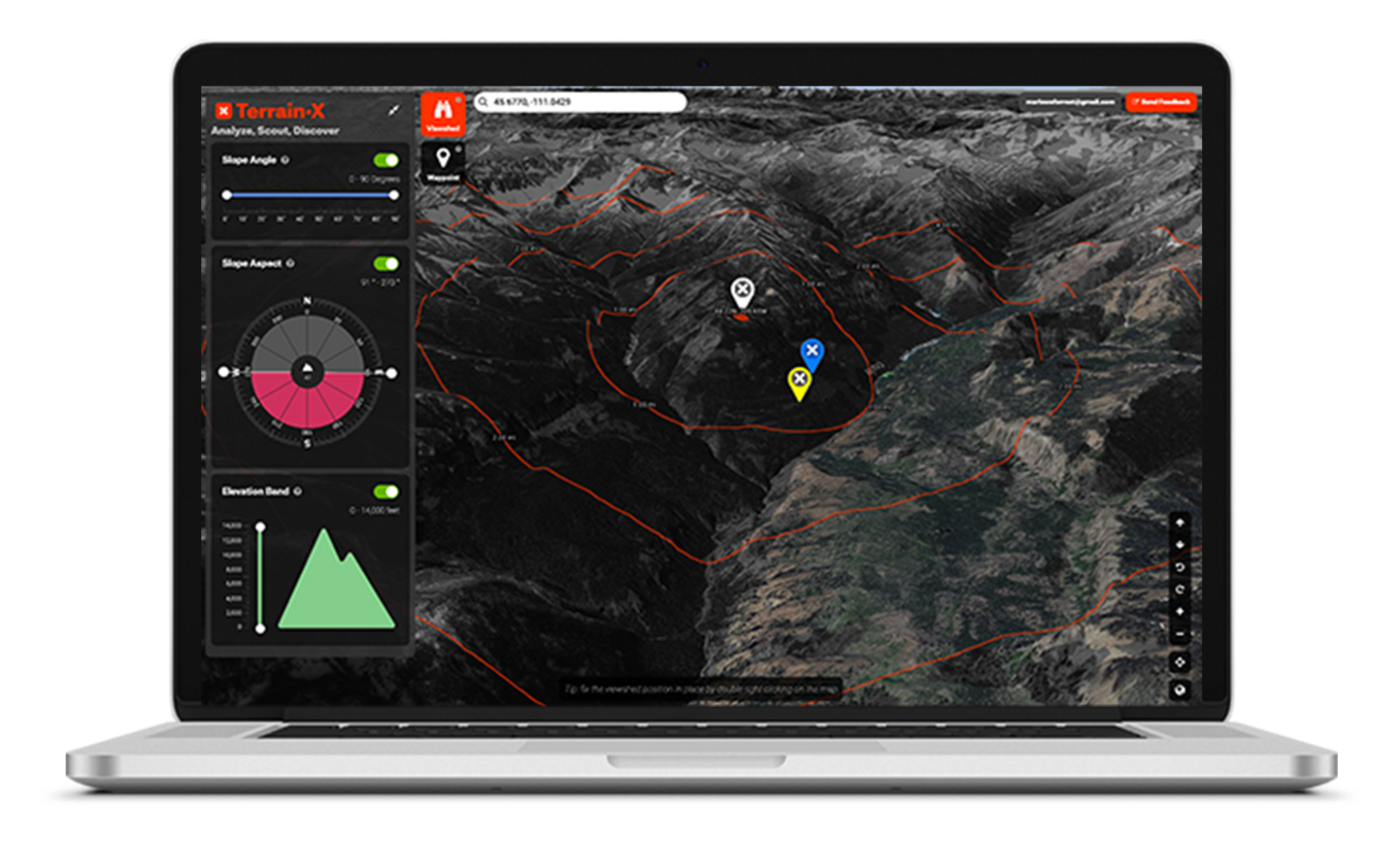
TerrainX
Perspective From Another Dimension
Elite onX Members can use TerrainX with onX on Desktop (not yet available for mobile). It provides never-before-seen perspectives of the landscape, including viewsheds, slope aspect, slope angles, and highlighted elevation bands.
TerrainX helps you discover and mark areas that serve specific needs for your hunt, identify glassing areas, and visualize what you can see from any given location. Use it to find benches, bedding and feeding areas, and break down the terrain to pinpoint the habitats that deserve a closer look in the field. How it works.

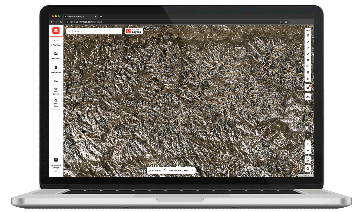
Recent Imagery
Look Back, Plan Ahead
Recent Imagery gives you the insight of comparing what lands look like now versus before. With medium-resolution (5-meter) maps available for every two weeks prior (currently back to March 2023) you can track changes over time.
Use Recent Imagery to monitor changing snow lines, thawing bodies of water, field cuts, timber thinning, wildfires or prescribed burns, and much more. With this understanding you’ll be able to better predict how wildlife might be responding to these changes. How it works.
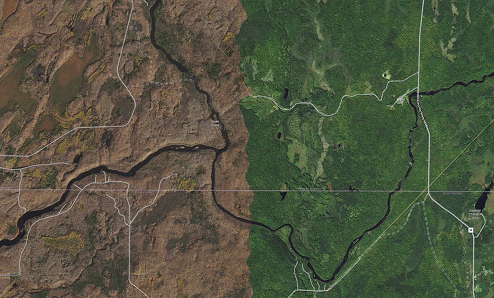
Leaf-Off Imagery
See the Forest Without the Trees
With unmatched quality and incredibly high resolution (30-50 cm) you can now view landscapes with Leaf-Off Imagery in select U.S states. This gives you the valuable perspective of seeing your favorite hunt area without the interference of foliage and undergrowth.
Available in the following states: AR, CT, IA, IN, KS, KY, MA, MI, MO, MS, NC, NH, NJ, NY, OH, PA, TN, VA, VT, WI, and WV.

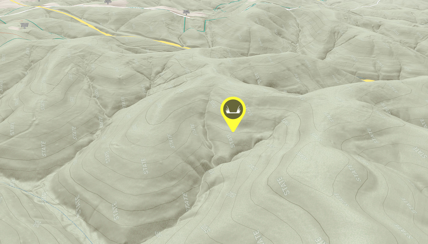
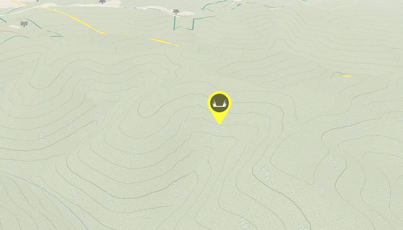
3D Maps
E-Scout Every Nook and Cranny
We have unleashed our powerful 3D Maps in the Hunt App for every Member on iOS and Android. You can now visualize and orient yourself more accurately while in the field. No more wishing you could know what an ascent will look like. With 3D Maps, you can see elevation the way it was meant to be seen. New to 3D Maps? Check out this video tutorial.
*3D Elevation Exaggeration is now available on iOS.

Base Imagery
Remarkably Detailed
We’ve made the best maps even better by improving the resolution of Basemaps for every onX Hunt Member.
Our Satellite Basemaps show rich detail at 30-50 cm per pixel resolution in the Hunt App and through onX for Desktop, and they can even be downloaded as Offline Maps.
Using Basemaps along with any of our Layers, such as Historic Wildfire or Timber Cuts, you will be able to familiarize yourself with any area, from anywhere. All Basemaps are updated every 1-4 years.

Improved Topo
Incredible Contours
Most people see topo lines on a map and know it means elevation changes. Now every onX Hunt Member has a more accurate representation of terrain changes with our updated Topo Basemaps.
We’re adding more resolution lines to our topographic maps so you can better read and navigate the landscape. Currently, our major lines are at 200-foot intervals, with minor lines every 40 feet. We expect to improve that to 25-foot major lines and 5-foot minor lines. Learn how to read a topo map.
FAQs
Aerial imagery for hunting uses high-resolution satellite and aerial photos to give hunters a real-world view of terrain, vegetation, and access points. With onX Hunt, you can switch between aerial imagery, Topo Maps, Lidar Maps, and hybrid views to plan smarter hunts.
Leaf-Off Imagery shows landscapes captured when trees have shed their leaves, revealing trails, creek beds, and game movement areas normally hidden by foliage. It helps hunters see the ground clearly, even in dense timber.
Open the onX Hunt App, select the Basemap menu, and choose “Aerial,” “Topo,” or “Hybrid.” You can zoom in to view detailed aerial imagery for hunting areas, mark Waypoints, and layer property lines or public land boundaries for full situational awareness.
onX Hunt Elite-only Member features include TerrainX, Recent Imagery, Leaf-Off Imagery, Route Builder, Lidar, Trail Camera Analysis, and more. Premium, Premium Two-State, and Elite Members can view several types of maps, including 3D hunting maps, hundreds of Map Layers, mapping tools, and more.