Leslie Creek
Total Miles
15.2
Technical Rating
Best Time
Trail Type
High-Clearance 4x4 Trail
Accessible By
Trail Overview
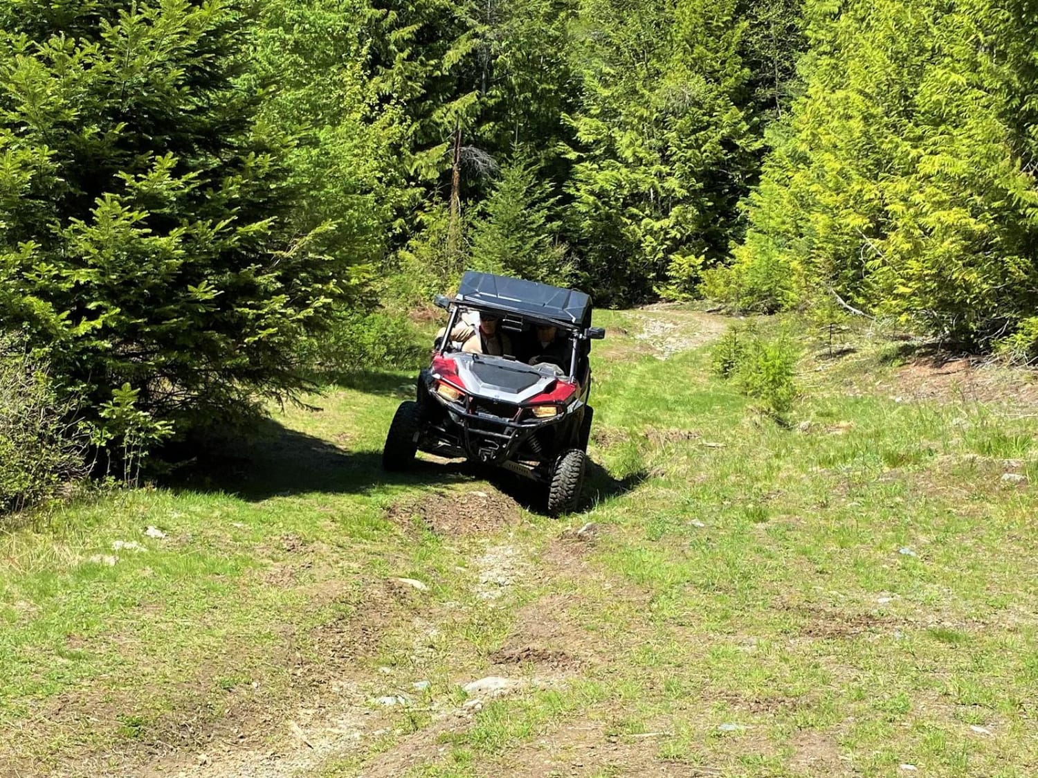
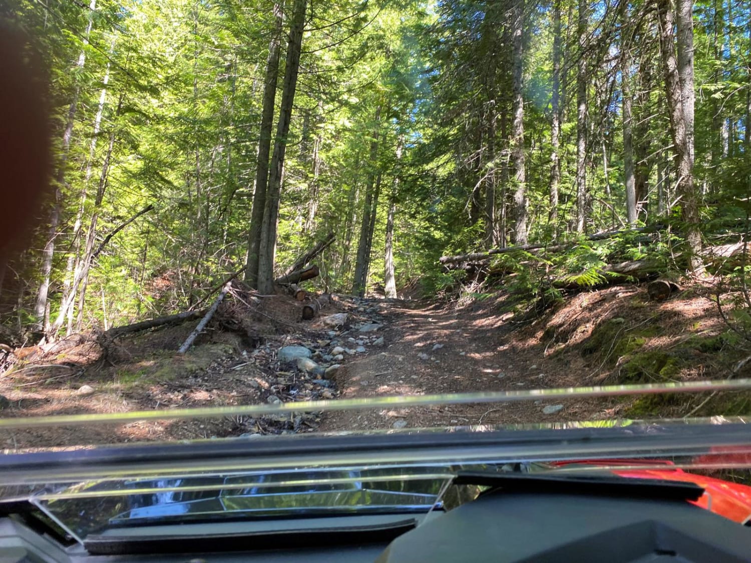
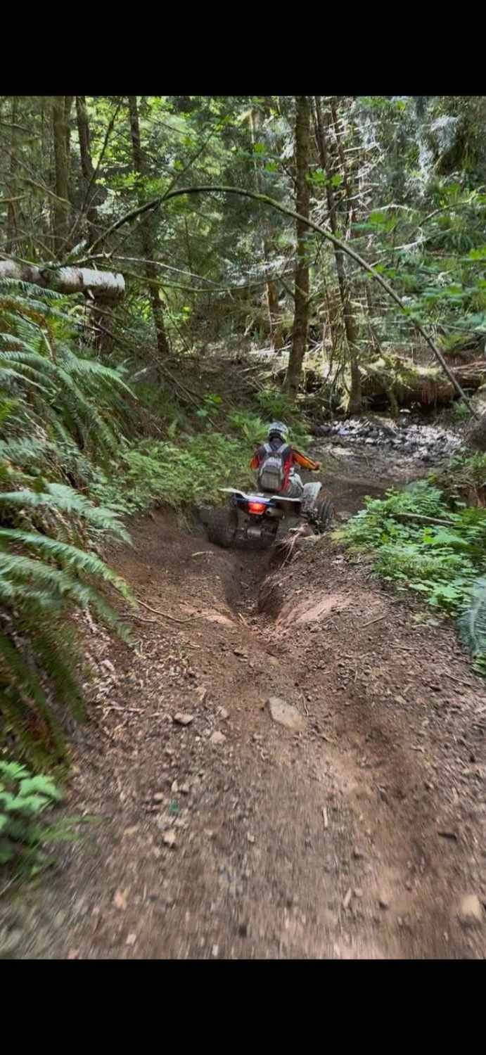
This area consists of a system of short roads in the Leslie Creek drainage. Some of the shorter roads serve as cross-overs from one road to another. Some roads are brushed in with cedar boughs, making for an interesting way through the brush. The most challenging portion is the old county road which is not maintained. It is rutted, rocky, muddy, and has several steep pitches that require more expertise that novices may choose to bypass. Spring runoff uses the road as drainage. Watch for snags and downfall. Recommend to have a chain saw on board througout this area, as it does not get a lot of traffic, and is heavily wooded.
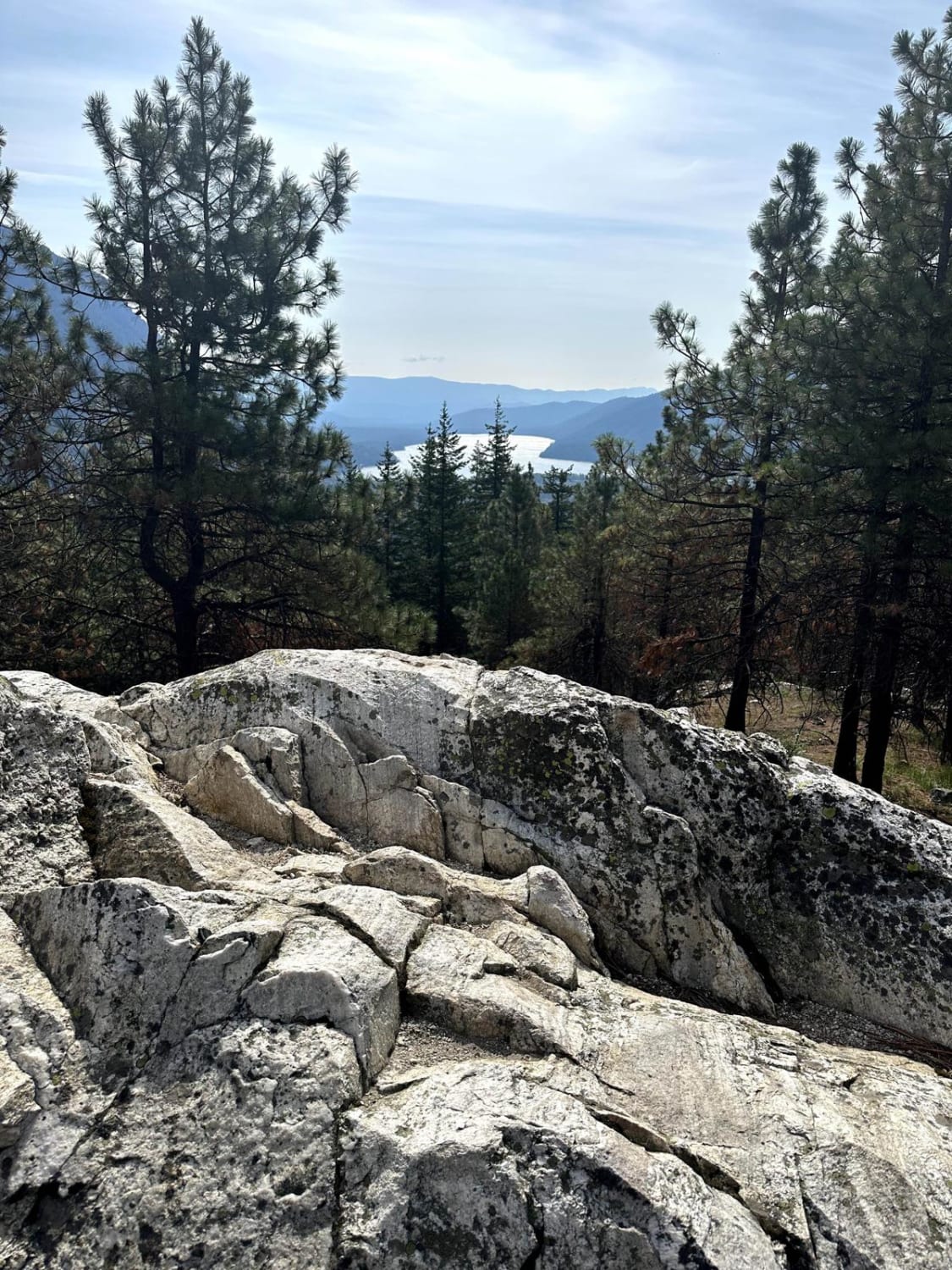
Photos of Leslie Creek
Status Reports
Leslie Creek can be accessed by the following ride types:
- High-Clearance 4x4
- SxS (60")
- ATV (50")
- Dirt Bike
Leslie Creek Map
Popular Trails
Divide Trail North

Stahl Mountain Trail
Baker River Road
Wenatchee Ridge Overlook Trail
The onX Offroad Difference
onX Offroad combines trail photos, descriptions, difficulty ratings, width restrictions, seasonality, and more in a user-friendly interface. Available on all devices, with offline access and full compatibility with CarPlay and Android Auto. Discover what you’re missing today!