Uinta Loop 3
Total Miles
1.1
Technical Rating
Best Time
Fall, Summer
Trail Type
60" Trail
Accessible By
Trail Overview
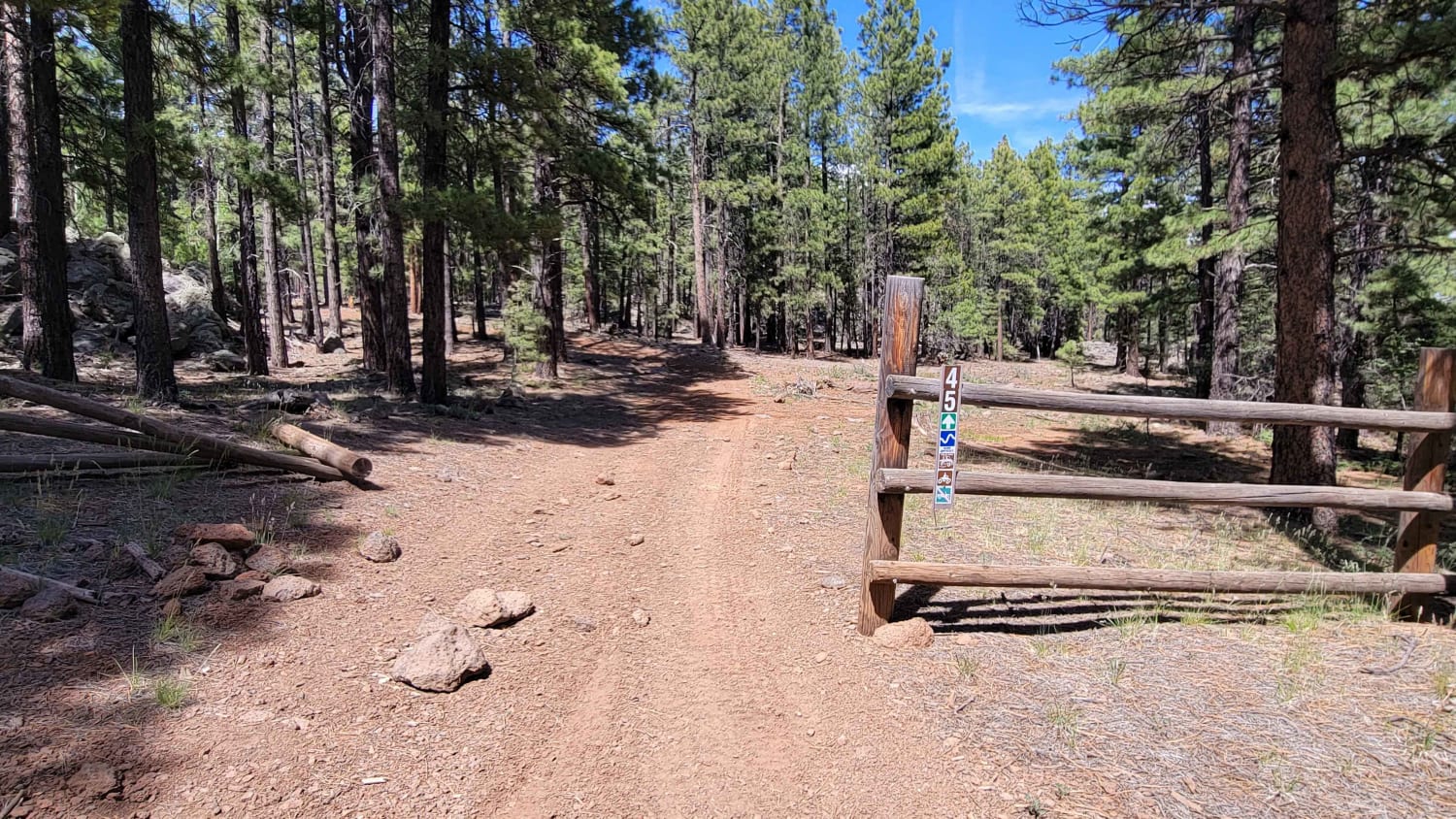
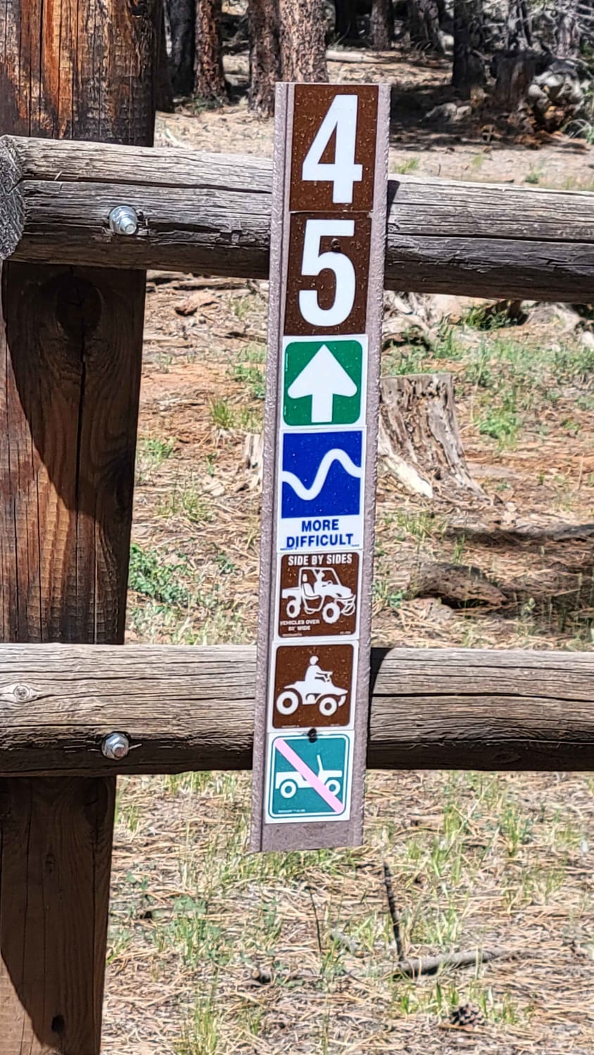
This is a short but slightly more challenging side trail. According to the Markagunt OHV System Map, this ranks as a blue (advanced) trail. Open to SXS or smaller machines, this is definitely a more narrow trail. There are some deep erosion spots (ruts) and large rocky sections throughout the trail. Keep an eye out for downed trees. Trail #45 of the Markagunt OHV System.
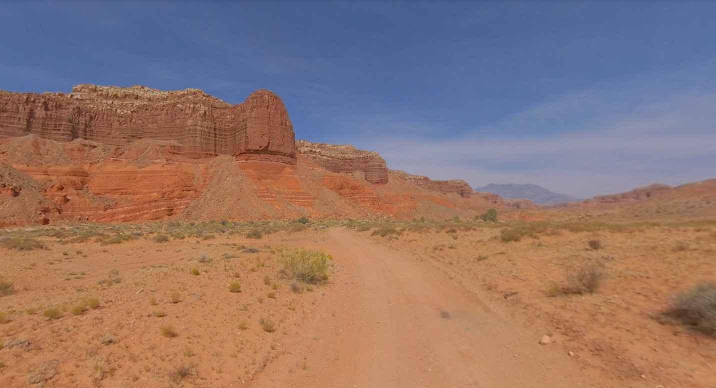
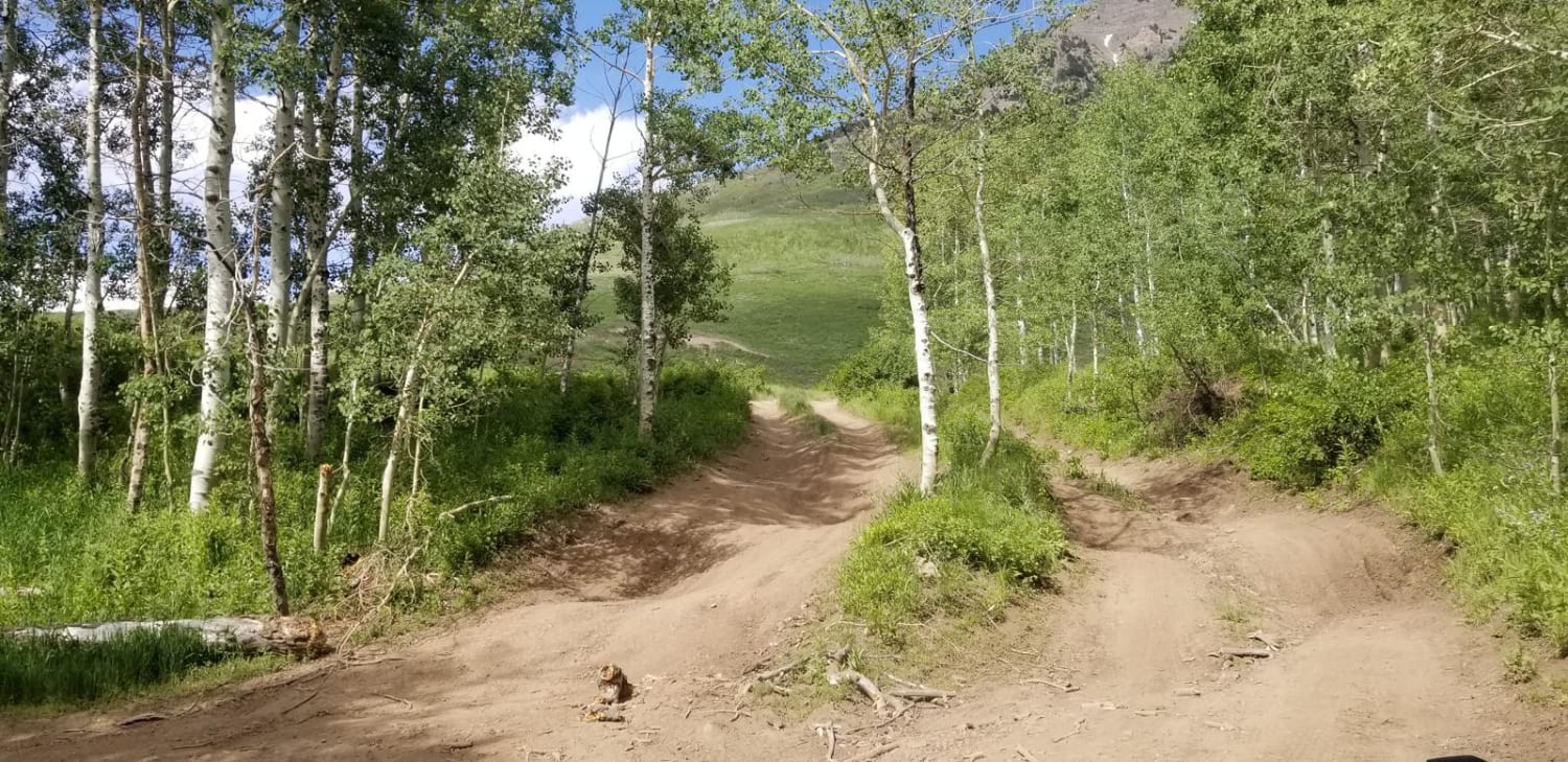
Photos of Uinta Loop 3
Difficulty
There are some deep erosion spots (ruts) and large rocky sections throughout the trail.
Status Reports
Uinta Loop 3 can be accessed by the following ride types:
- SxS (60")
- ATV (50")
- Dirt Bike
Uinta Loop 3 Map
Popular Trails

West Fork Blacks Fork
Shootaring Road

Meadow Canyon Road-FS30010
The onX Offroad Difference
onX Offroad combines trail photos, descriptions, difficulty ratings, width restrictions, seasonality, and more in a user-friendly interface. Available on all devices, with offline access and full compatibility with CarPlay and Android Auto. Discover what you’re missing today!