Trail 55255 to 55258
Total Miles
1.7
Technical Rating
Best Time
Summer, Spring, Fall
Trail Type
Full-Width Road
Accessible By
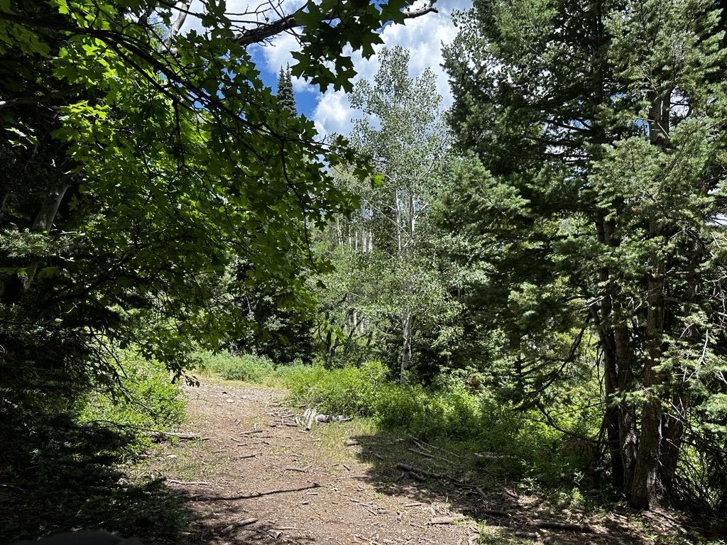
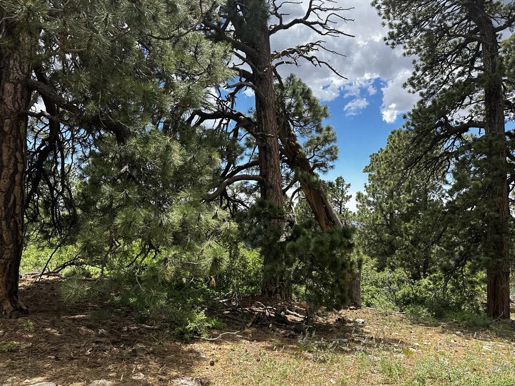
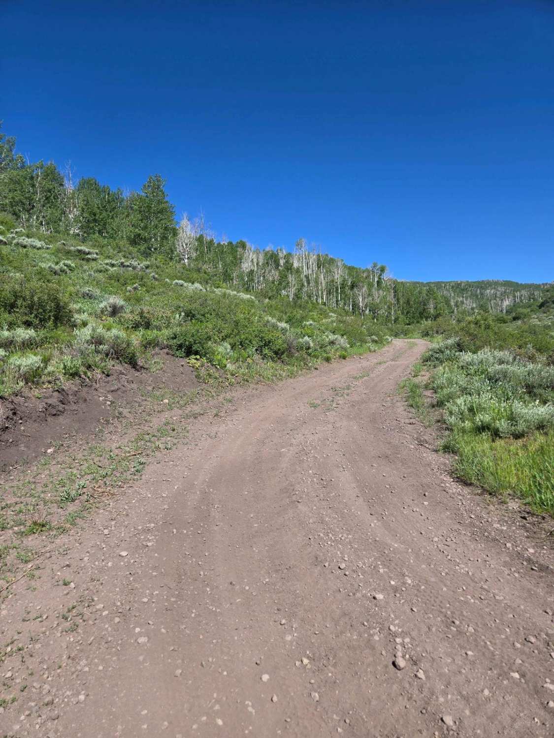
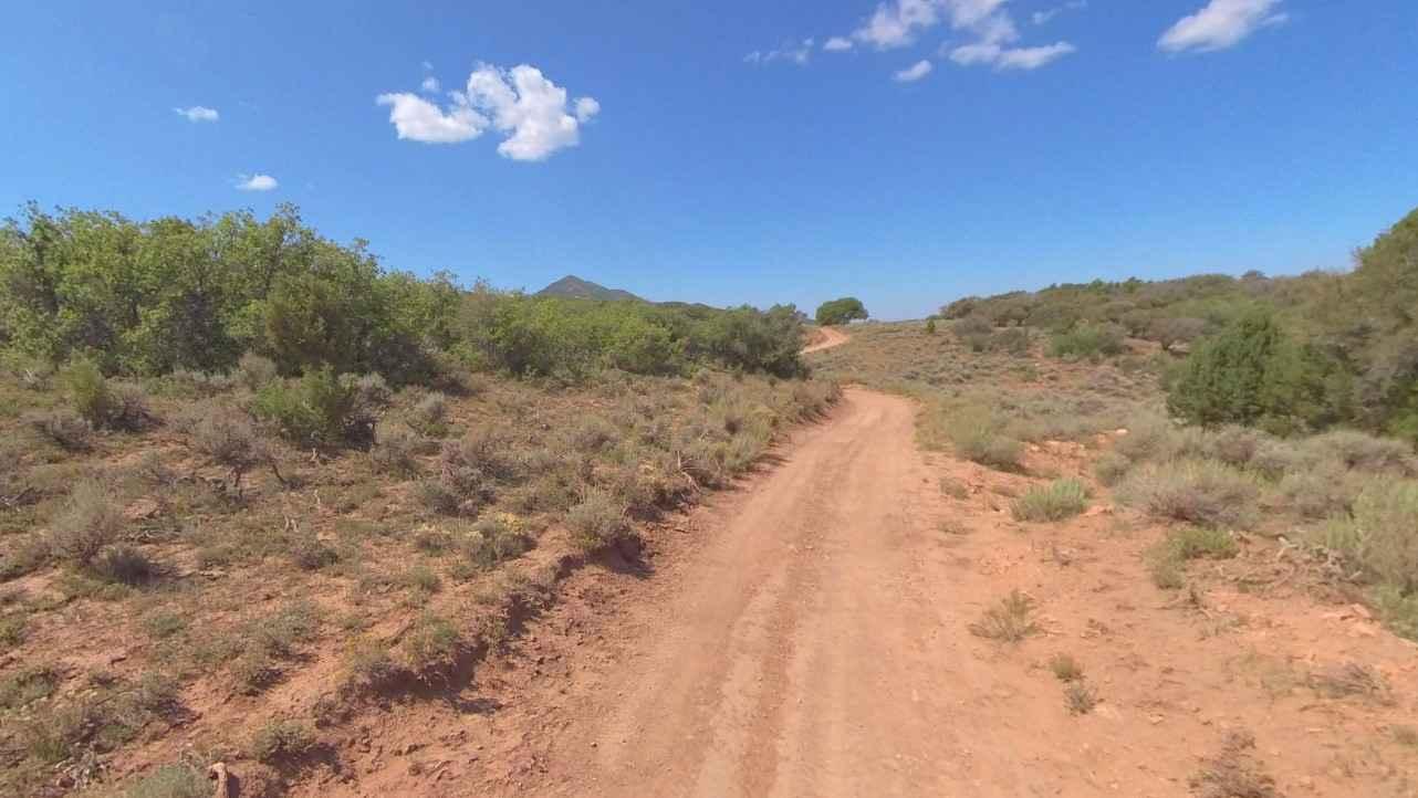
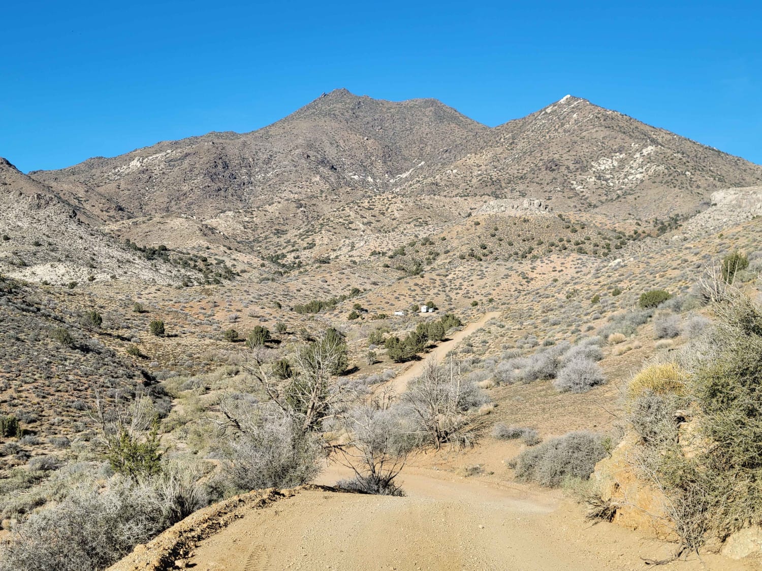
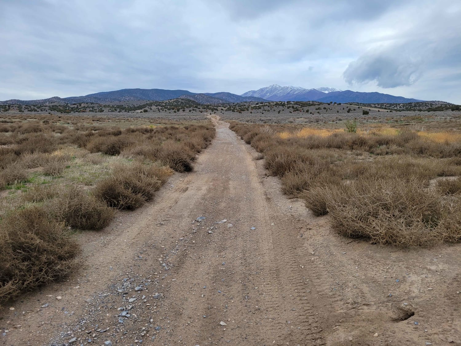
Trail Overview
This trail is a fun, short little detour from the main road up the mountain. There are a few small rocks and holes on the trail but nothing too serious. Any 4x4 should make it up this trail. The start of the trail is a little bit narrow but doable by any side-by-side or full-sized truck. It takes you up into the trees and there are possibly some good campsites.
Photos of Trail 55255 to 55258
Difficulty
The main thing to be concerned about is the width of the road. The start of the trail is the narrowest, the road cuts into a hillside, so you don't want to be slipping off.
Status Reports
Trail 55255 to 55258 can be accessed by the following ride types:
- High-Clearance 4x4
- SUV
- SxS (60")
- ATV (50")
- Dirt Bike
Trail 55255 to 55258 Map
Popular Trails
Welcome Springs Road
Straight Shot
The onX Offroad Difference
onX Offroad combines trail photos, descriptions, difficulty ratings, width restrictions, seasonality, and more in a user-friendly interface. Available on all devices, with offline access and full compatibility with CarPlay and Android Auto. Discover what you’re missing today!