Tibble Fork (2041)
Total Miles
3.2
Technical Rating
Best Time
Summer, Fall
Trail Type
Single Track
Accessible By
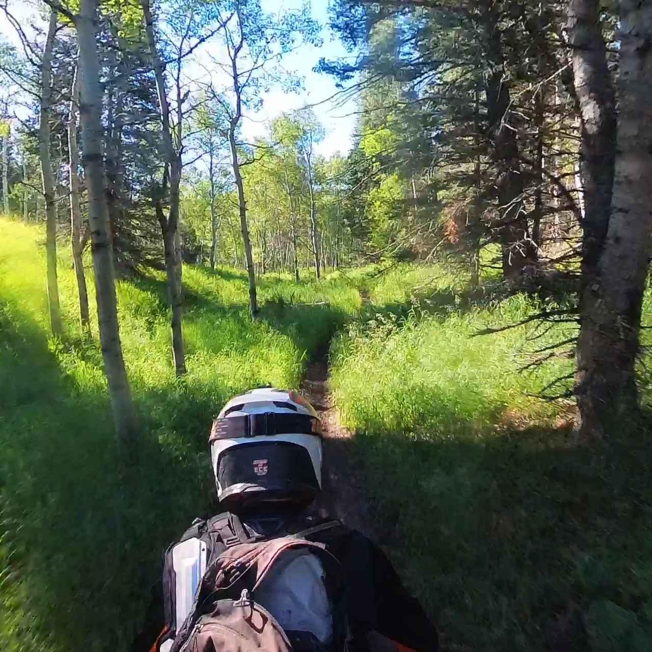
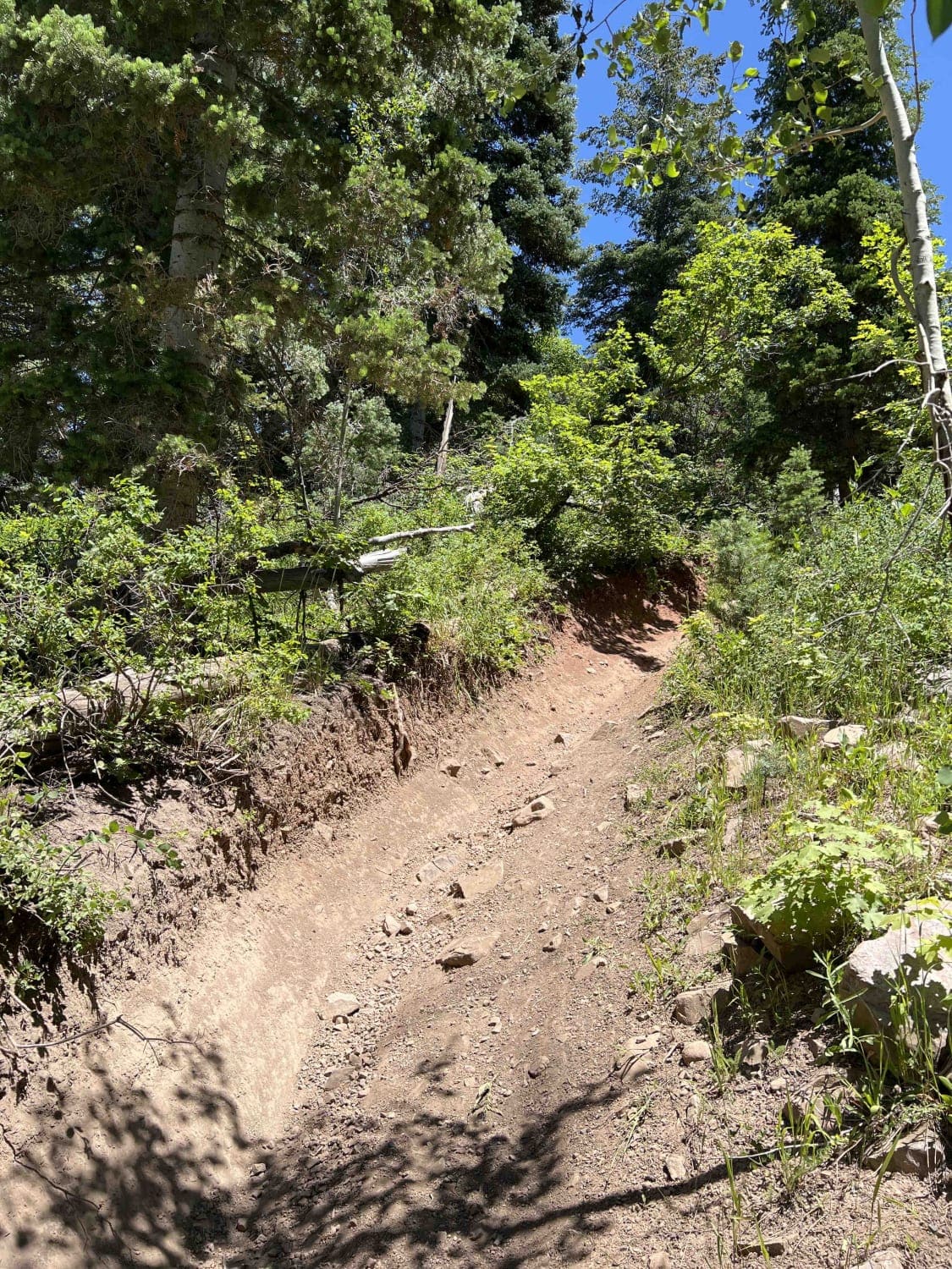
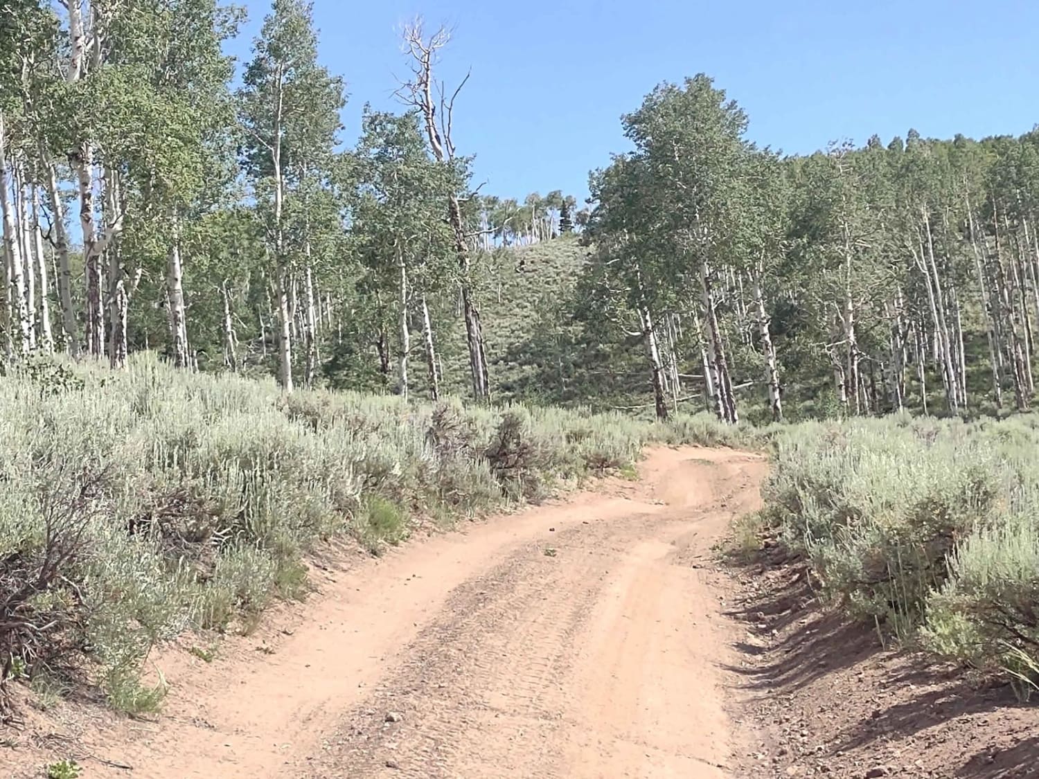
Trail Overview
From Mill Canyon, this trail runs west and then southeast, climbing about 1,400 feet where it intersects with Ridge Trail. The lower portion running west takes you on a ledge trail through the woods above Tibble Fork Reservoir. From here, it continues climbing, intersects Mud Springs, and finally reaches Ridge Trail. The trail is mostly well-maintained and flowy, with limited obstacles.
Photos of Tibble Fork (2041)
Difficulty
This is a mellow trail with limited obstacles. There are some blind turns in a heavily wooded/brush area and the section above Tibble Fork Reservoir follows a ledge with some exposure.
Status Reports
Tibble Fork (2041) can be accessed by the following ride types:
- Dirt Bike
Tibble Fork (2041) Map
Popular Trails
Papa Bear Spur (FS 41229 & 42467)

Revenue Gulch to Rainbow Road

Second Left Hand
The onX Offroad Difference
onX Offroad combines trail photos, descriptions, difficulty ratings, width restrictions, seasonality, and more in a user-friendly interface. Available on all devices, with offline access and full compatibility with CarPlay and Android Auto. Discover what you’re missing today!