SCAR Southeast Alternate
Total Miles
122.5
Technical Rating
Best Time
Spring, Summer, Fall, Winter
Trail Type
Full-Width Road
Accessible By
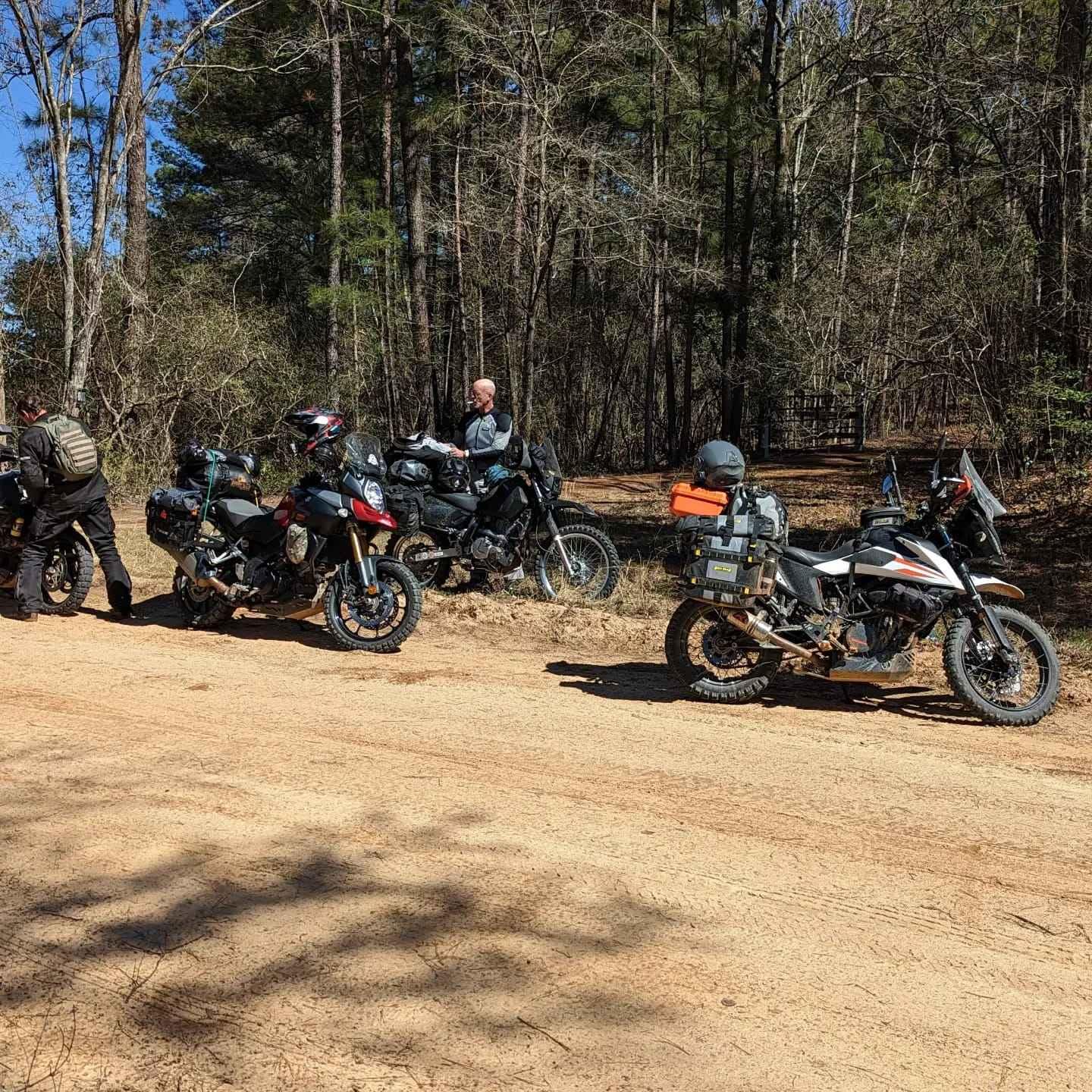
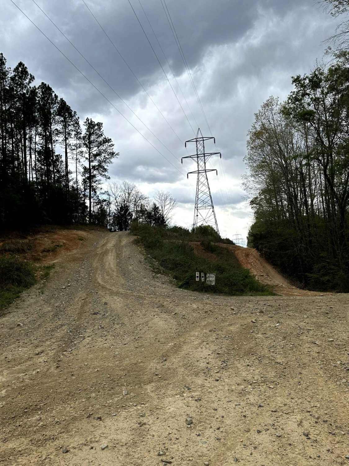
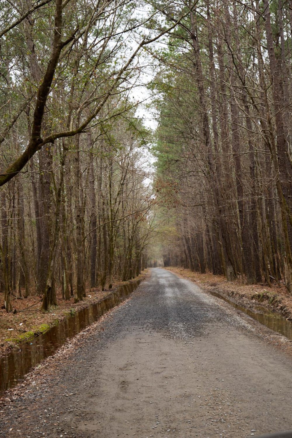
Trail Overview
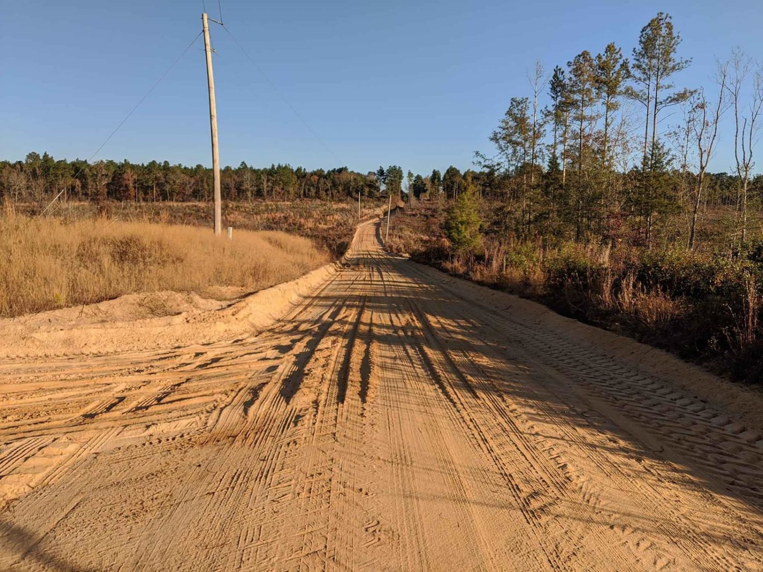
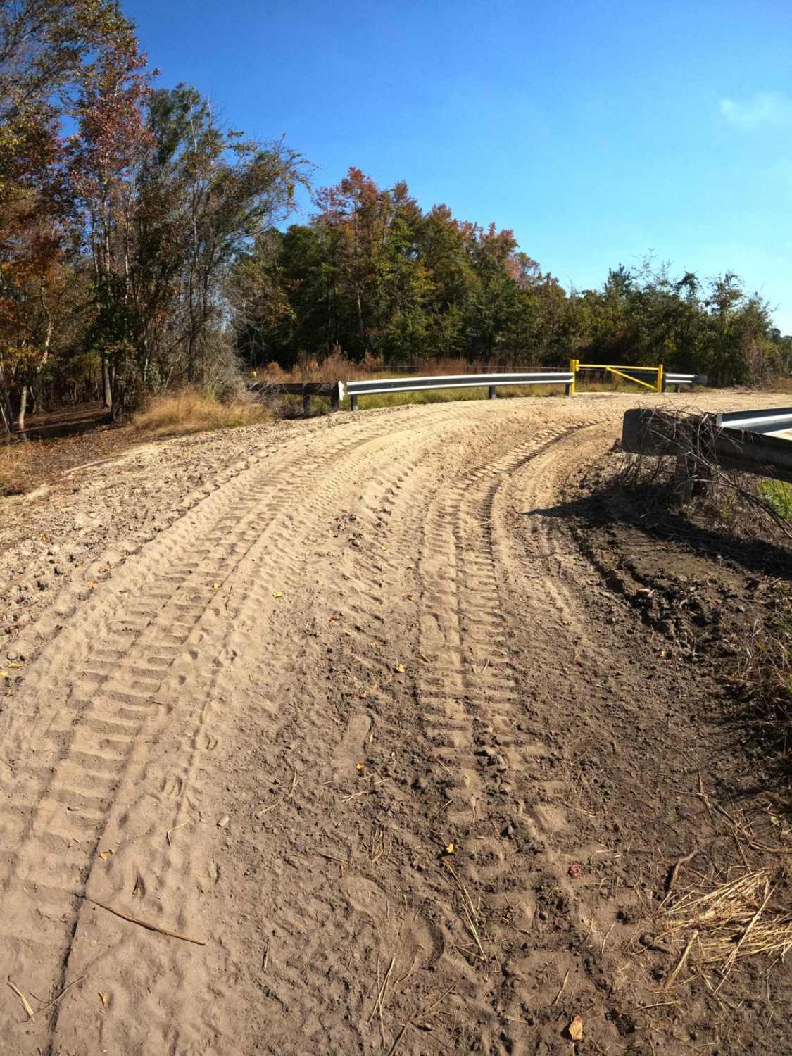
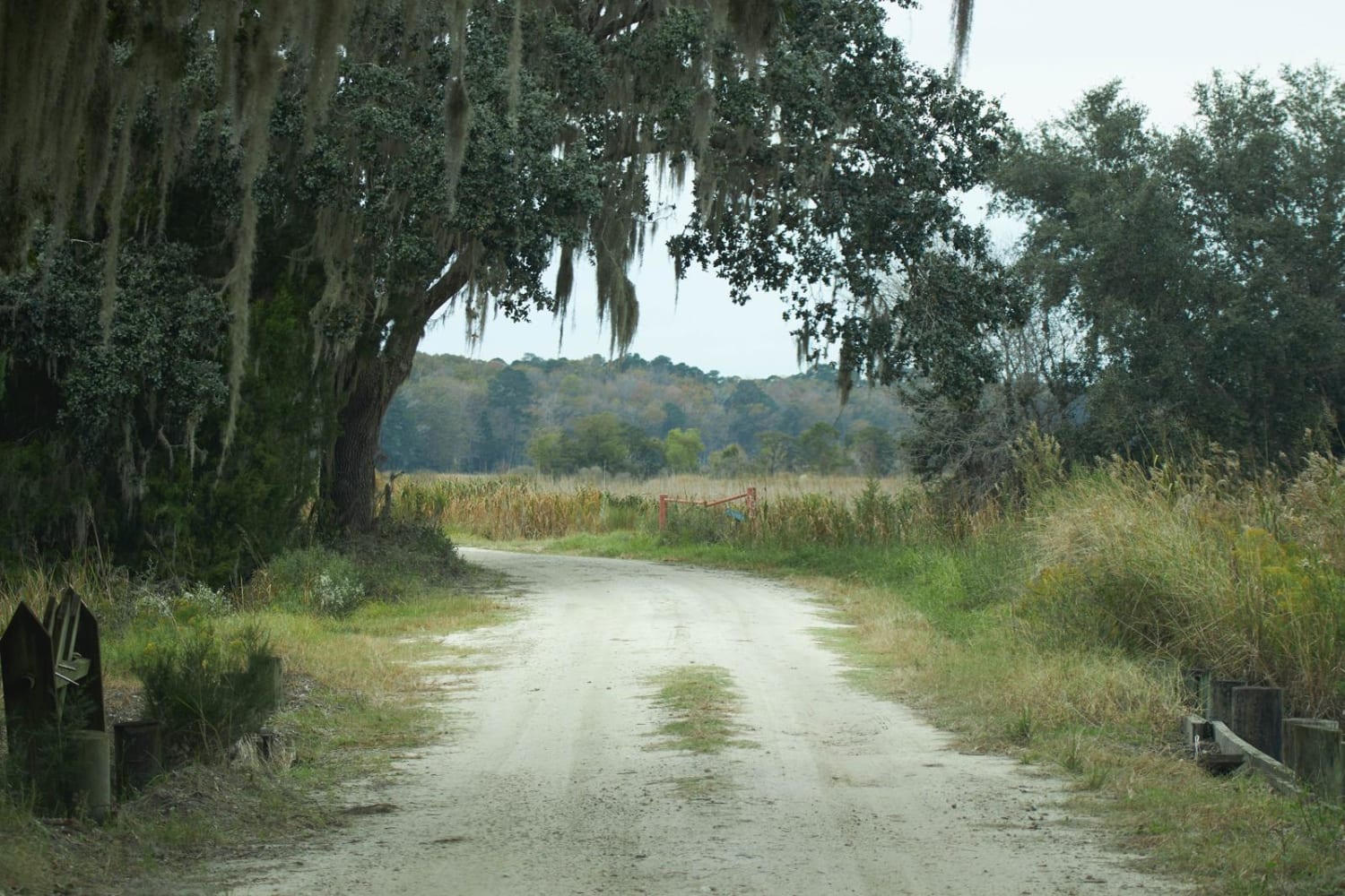
This route traverses the heart of the Sandhills region (which spans the state betwen Columbia and I-95), and it definitely delivers sand. It is approximately 80% off-pavement, and some of the sandy sections can be very loose and deep when conditions are dry. It also passes through some quaint towns and the Rivers Bridge Battlefield historical site, which was part of General Sherman's sweep across the South. About the SCAR: The South Carolina Adventure Route loops through approximately 1,000 miles of rural South Carolina. Along this route, you'll enjoy the Blue Ridge Mountains, the Atlantic Ocean, diverse forests, cotton fields, state parks, historical sites, and quaint towns. The SCAR also connects to the Smokey Mountains 500, the Georgia Traverse, and the Trans-America Trail (TAT), providing riders on those trails with a scenic route to the Atlantic coast at Edisto Beach. The roads along the SCAR are a mix of pavement and dirt, 60% and 40% respectively, with the surface alternating between gravel, dirt, clay, and sand. The route is not exceptionally technical, but dry conditions can leave the sandy roads loose, while wet conditions can leave the mud and clay roads slick and rutted. Travelers should expect to encounter deep sand and sizable mud holes in the worst conditions.
Photos of SCAR Southeast Alternate
Difficulty
Sandy sections can be very loose and deep when conditions are dry.
Status Reports
SCAR Southeast Alternate can be accessed by the following ride types:
- High-Clearance 4x4
- SUV
SCAR Southeast Alternate Map
Popular Trails
Donnelly WMA PT.5
Charity Church Road
The onX Offroad Difference
onX Offroad combines trail photos, descriptions, difficulty ratings, width restrictions, seasonality, and more in a user-friendly interface. Available on all devices, with offline access and full compatibility with CarPlay and Android Auto. Discover what you’re missing today!