Ashland 158
Total Miles
0.1
Technical Rating
Best Time
Spring, Summer, Fall, Winter
Trail Type
Full-Width Road
Accessible By
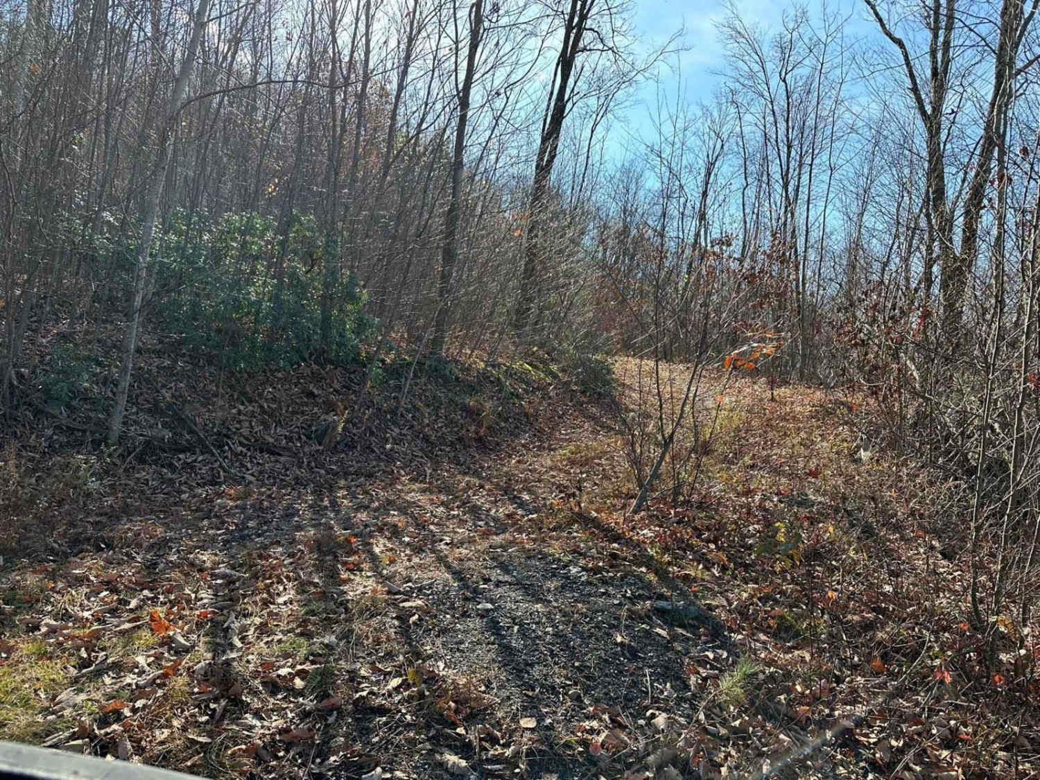
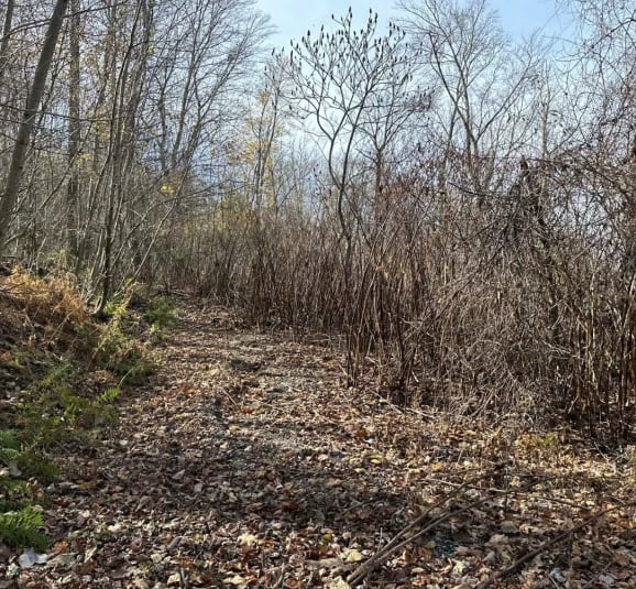
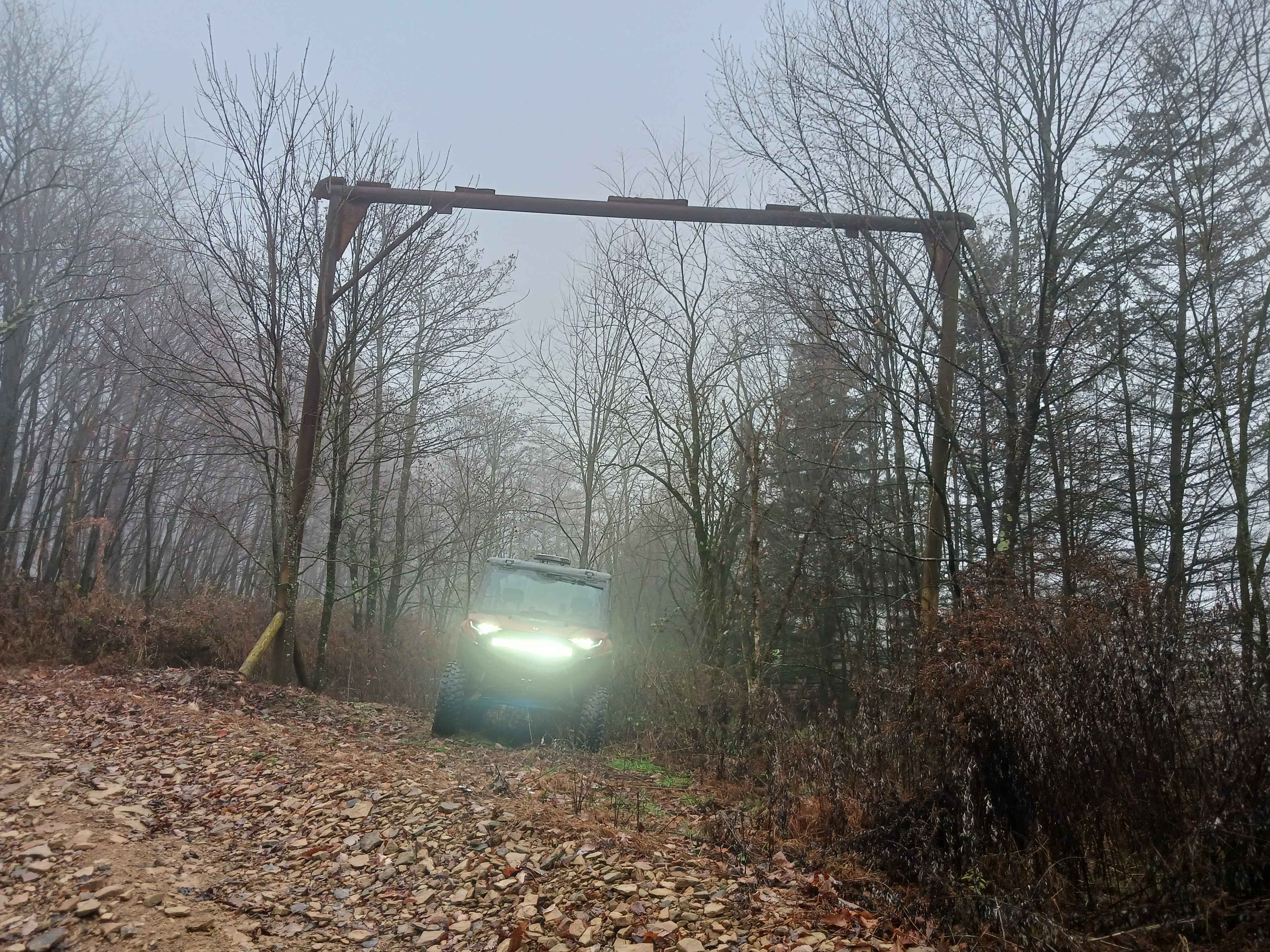
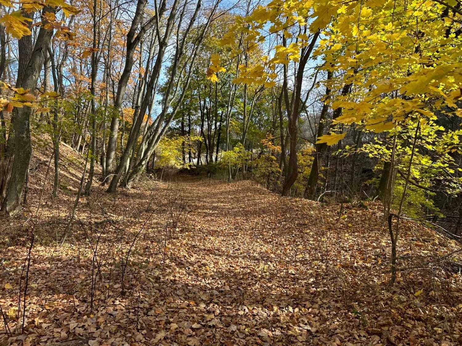
Trail Overview
Welcome to Ashland 158! This trail is a potluck, consisting of a narrow two-track path with areas that may be tight for full-size vehicles, potentially increasing the risk of scraping. Anticipate encountering some overgrown and brushy sections, along with a few slight uphills and small rocks. Please note that this trail is a dead end.
Photos of Ashland 158
Difficulty
Expect small rocks and slight uphills with brushy and narrow areas.
Status Reports
Ashland 158 can be accessed by the following ride types:
- High-Clearance 4x4
- SUV
- SxS (60")
- ATV (50")
- Dirt Bike
Ashland 158 Map
Popular Trails
Trail 12Q - Rock Run Recreation Area
Golden Arch Trail - The OG - Rock Run Recreation Area
Ashland 161
The onX Offroad Difference
onX Offroad combines trail photos, descriptions, difficulty ratings, width restrictions, seasonality, and more in a user-friendly interface. Available on all devices, with offline access and full compatibility with CarPlay and Android Auto. Discover what you’re missing today!