Ashland 156
Total Miles
0.1
Technical Rating
Best Time
Spring, Summer, Fall, Winter
Trail Type
Full-Width Road
Accessible By
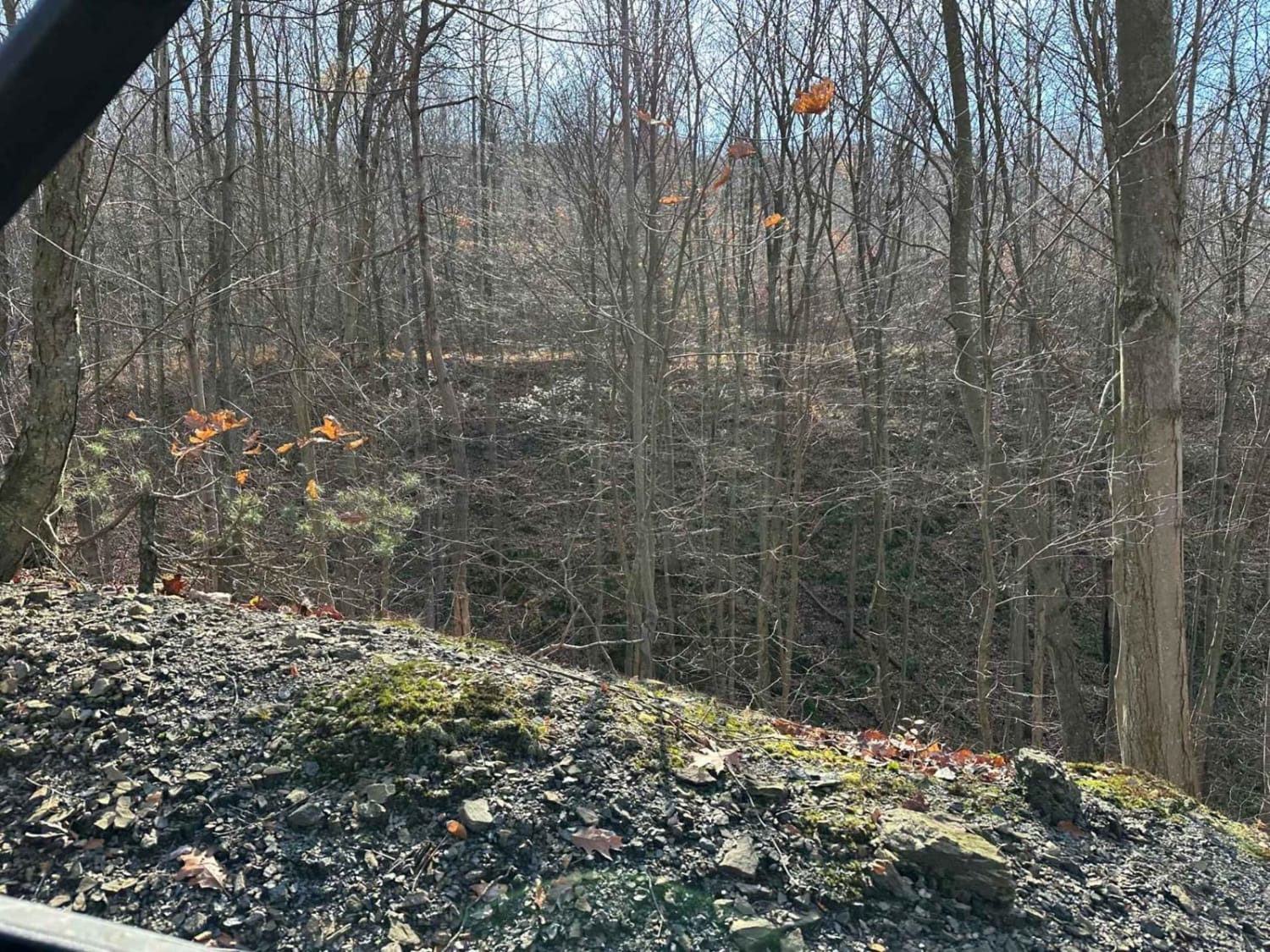
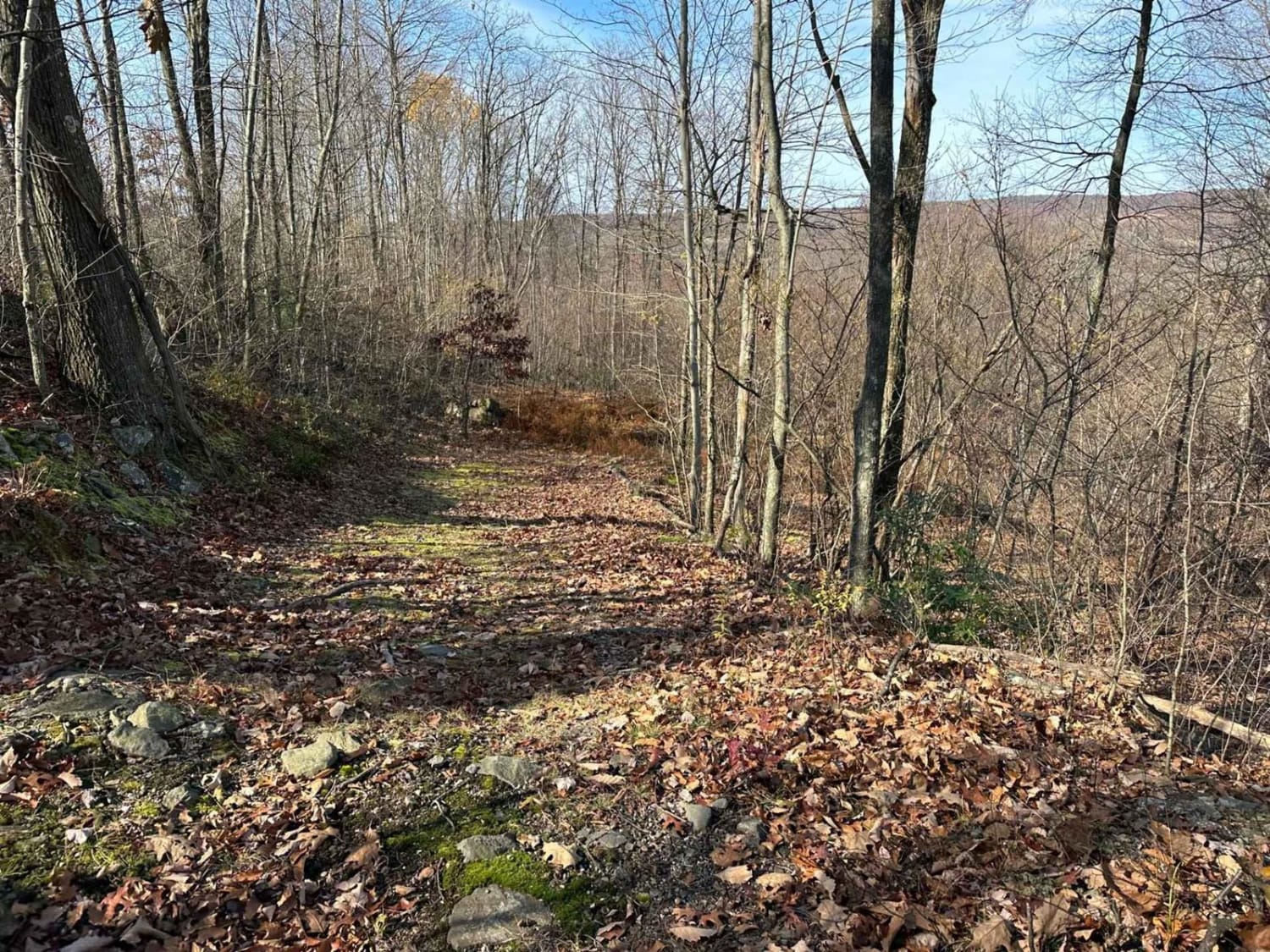
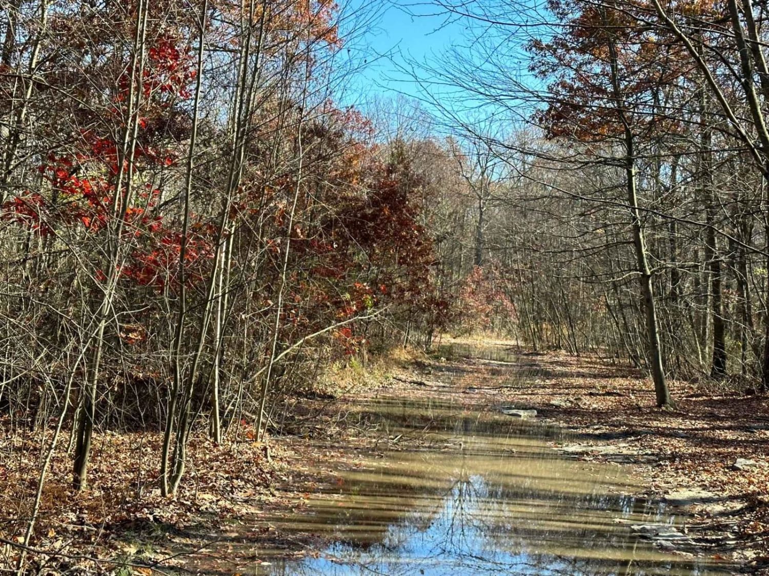
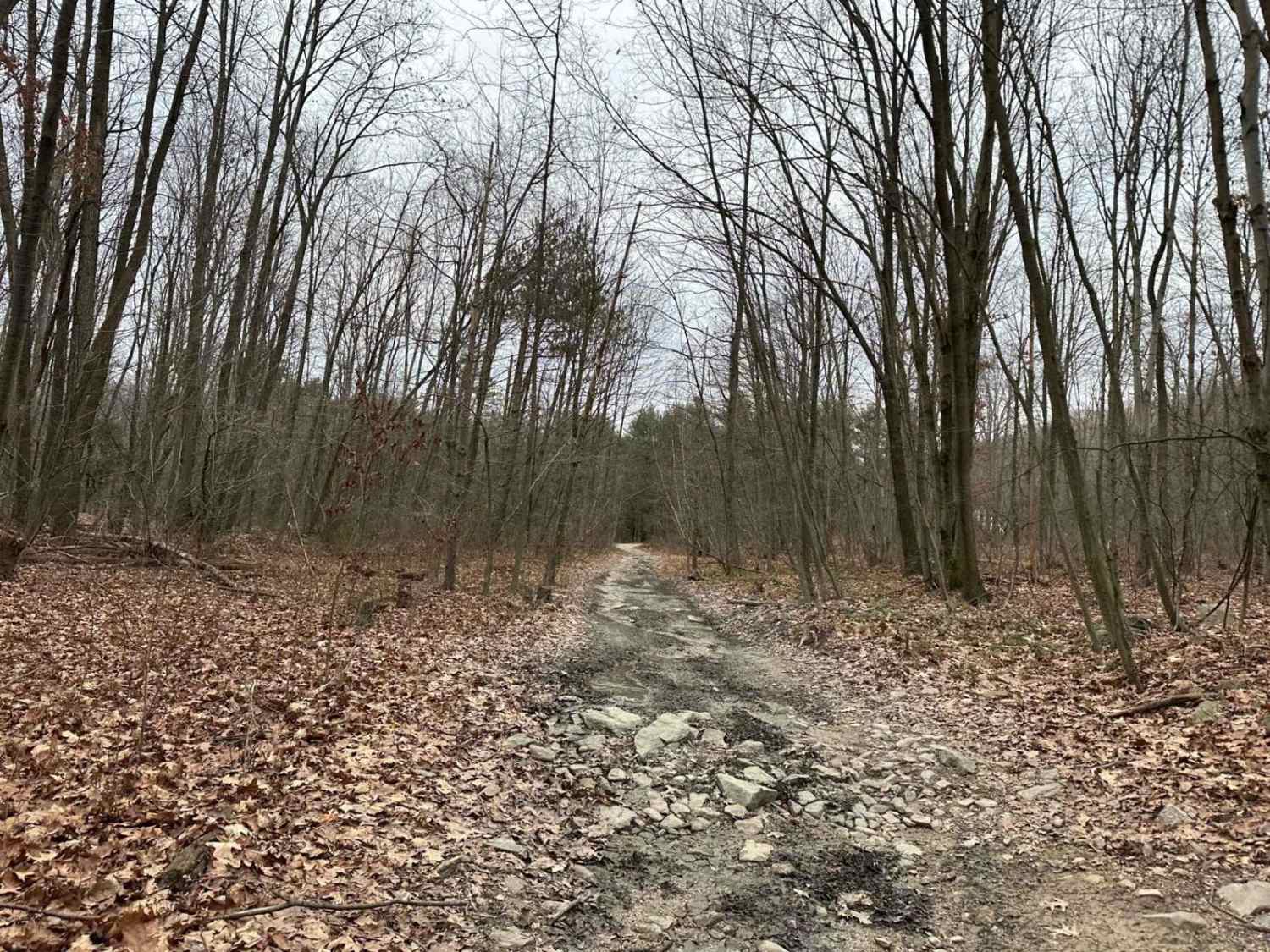
Trail Overview
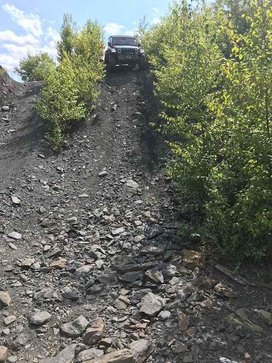
Ashland 156 marks another dead-end trail within this network. Signs of infrequent use are evident, with brush and trees reclaiming parts of the trail, potentially obscuring it from sight. Once on the trail, expect to encounter small rocks, fallen trees, and slight inclines, with remnants of strip mining visible on both sides.
Photos of Ashland 156
Difficulty
This is a dead-end trail with small rocks, tight areas, and downed trees scattered along the trail as well as areas where the trail cannot be visualized.
Status Reports
Ashland 156 can be accessed by the following ride types:
- High-Clearance 4x4
- SUV
- SxS (60")
- ATV (50")
- Dirt Bike
Ashland 156 Map
Popular Trails
Locust Gap 22

Darkwater 79
The onX Offroad Difference
onX Offroad combines trail photos, descriptions, difficulty ratings, width restrictions, seasonality, and more in a user-friendly interface. Available on all devices, with offline access and full compatibility with CarPlay and Android Auto. Discover what you’re missing today!