Keeps Mill South
Total Miles
18.2
Technical Rating
Best Time
Summer, Fall
Trail Type
Full-Width Road
Accessible By
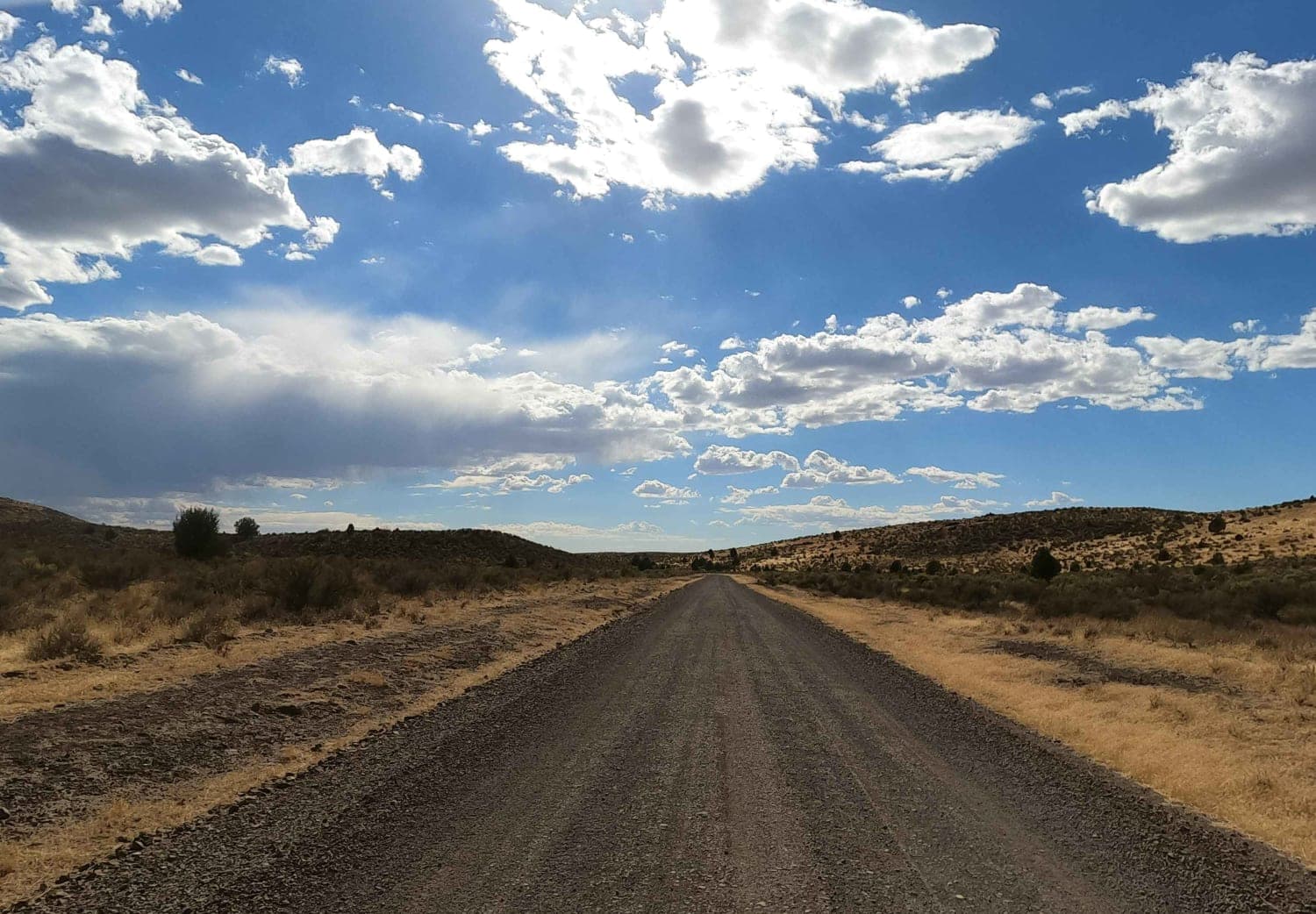
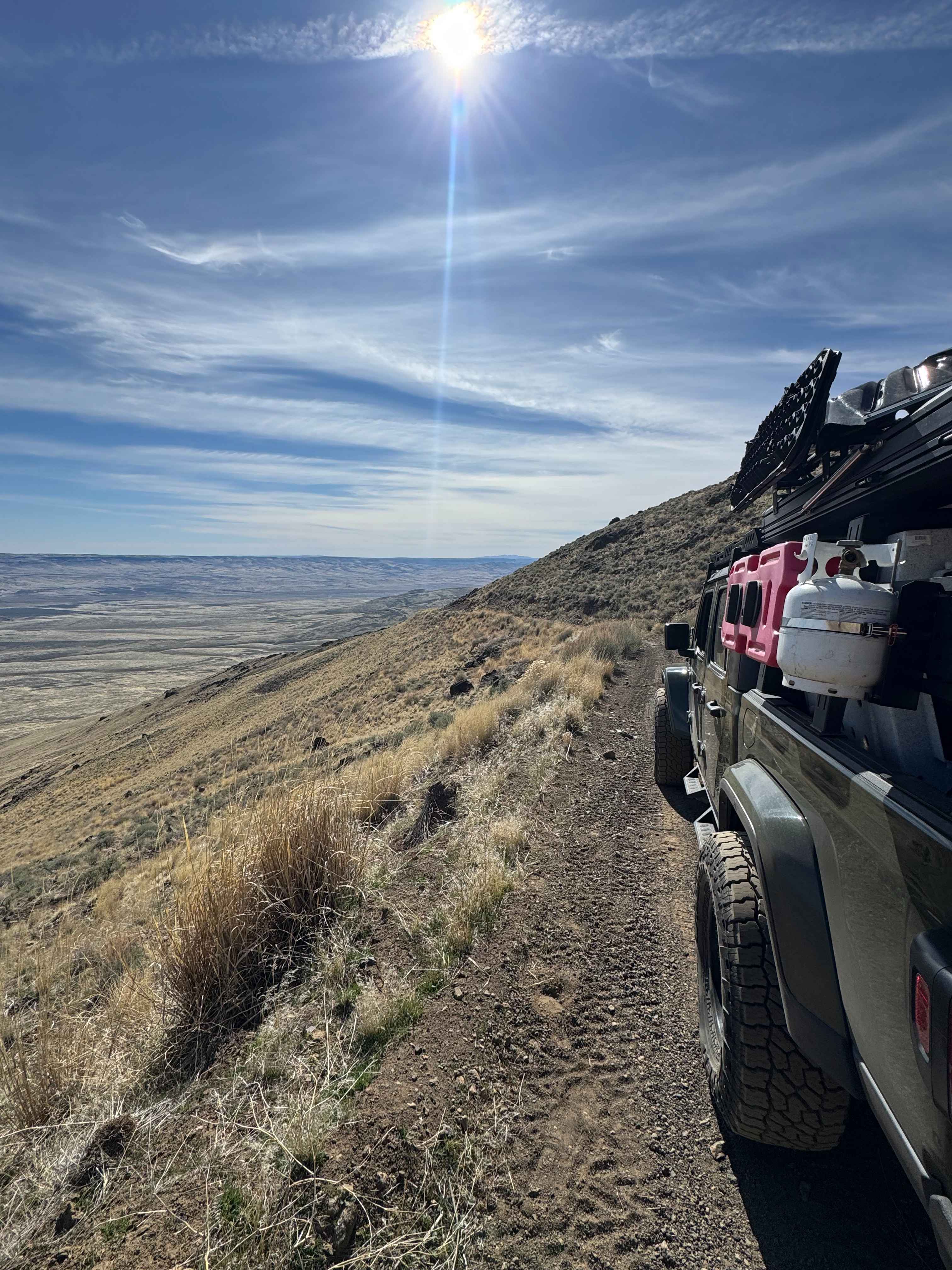
Trail Overview
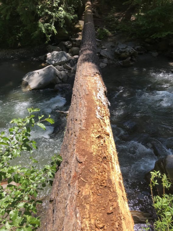
This is an access route to a remote campground along the edge of Mount Hood National Forest. The terrain is mixed gravel and pavement along NFS roads until the last few miles down into the campground. At this point, the road is rougher, one-lane and has exposure as it drops into the canyon to access the campground along the White River. There is an old, unmaintained river crossing that accesses a single camp site and then continues on to the north to connect with the historic Barlow Road route. This crossing is only achievable during low water and with 35"+ tires and lockers, due to the boulders along the south bank. Conditions here will change after each storm season.
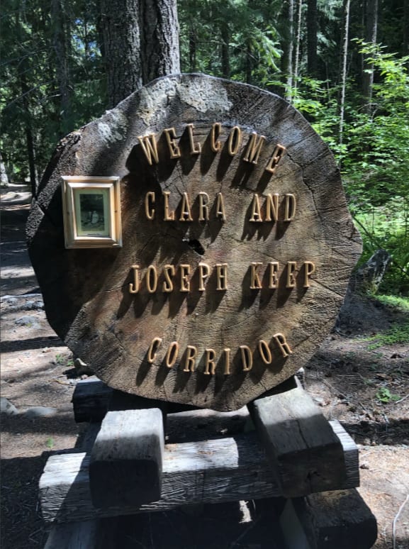
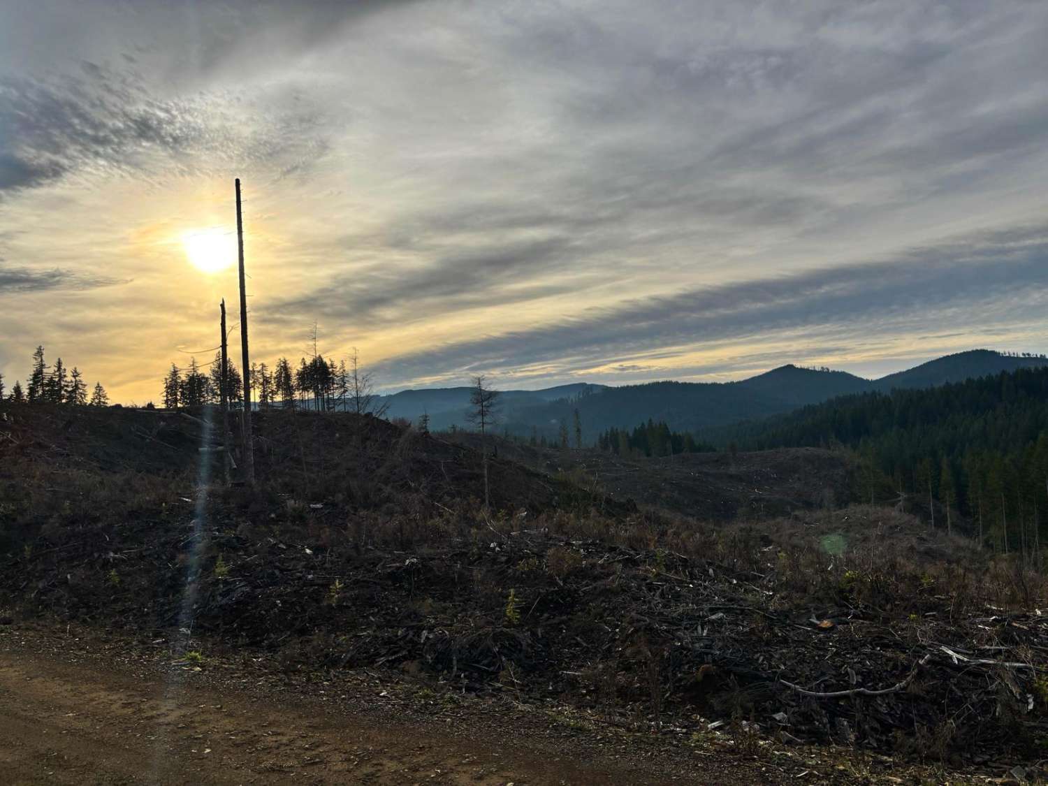
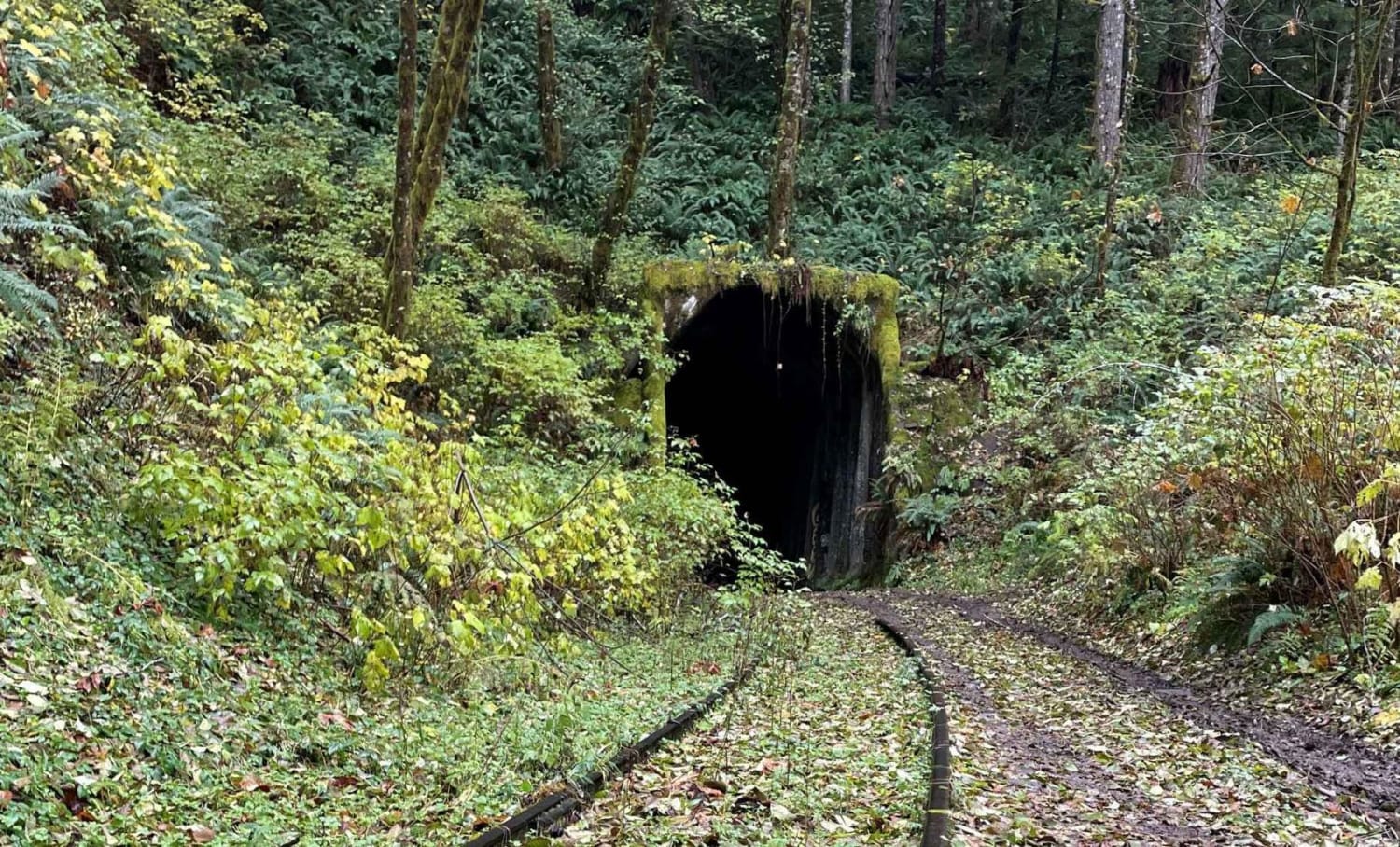
Photos of Keeps Mill South
Difficulty
This route as a whole is easy, with the switchback descent being a little more difficult. The river crossing would itself may be very difficult depending on current and bank conditions.
Status Reports
Keeps Mill South can be accessed by the following ride types:
- High-Clearance 4x4
- SUV
Keeps Mill South Map
Popular Trails
Salmonberry Railroad Tunnel Route
Soldier Creek Road
Blue Mountain
The onX Offroad Difference
onX Offroad combines trail photos, descriptions, difficulty ratings, width restrictions, seasonality, and more in a user-friendly interface. Available on all devices, with offline access and full compatibility with CarPlay and Android Auto. Discover what you’re missing today!