Haught Run
Total Miles
2.4
Technical Rating
Best Time
Winter
Trail Type
High-Clearance 4x4 Trail
Accessible By
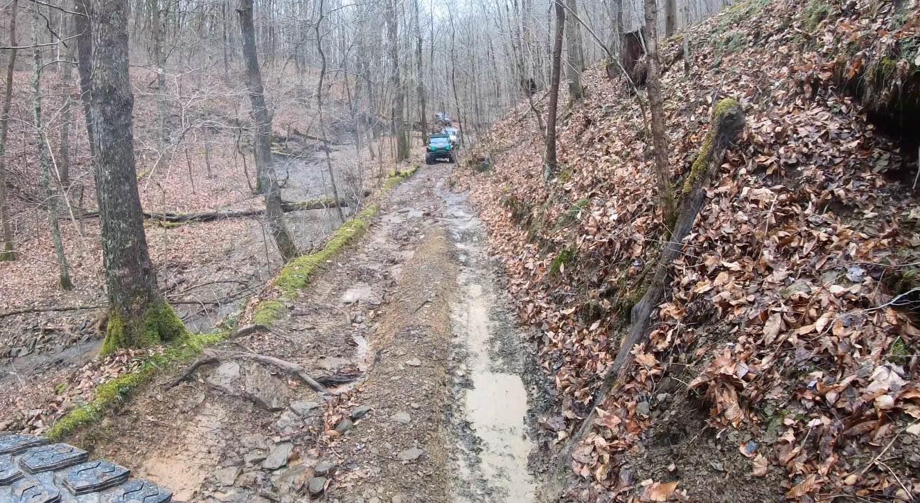
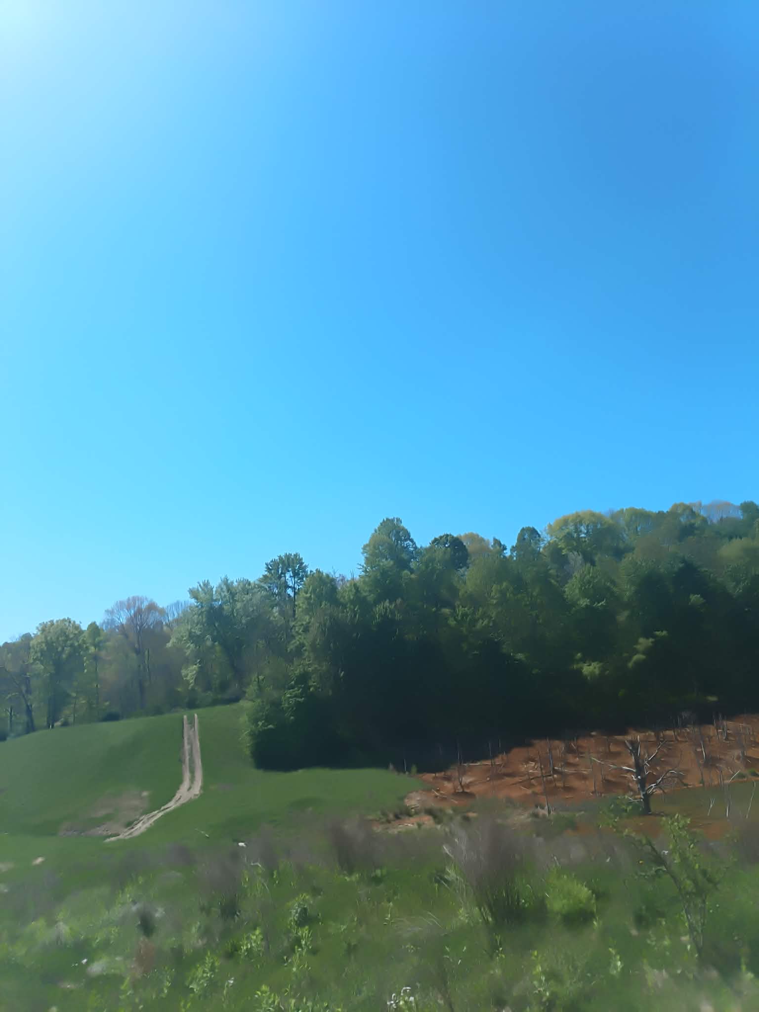
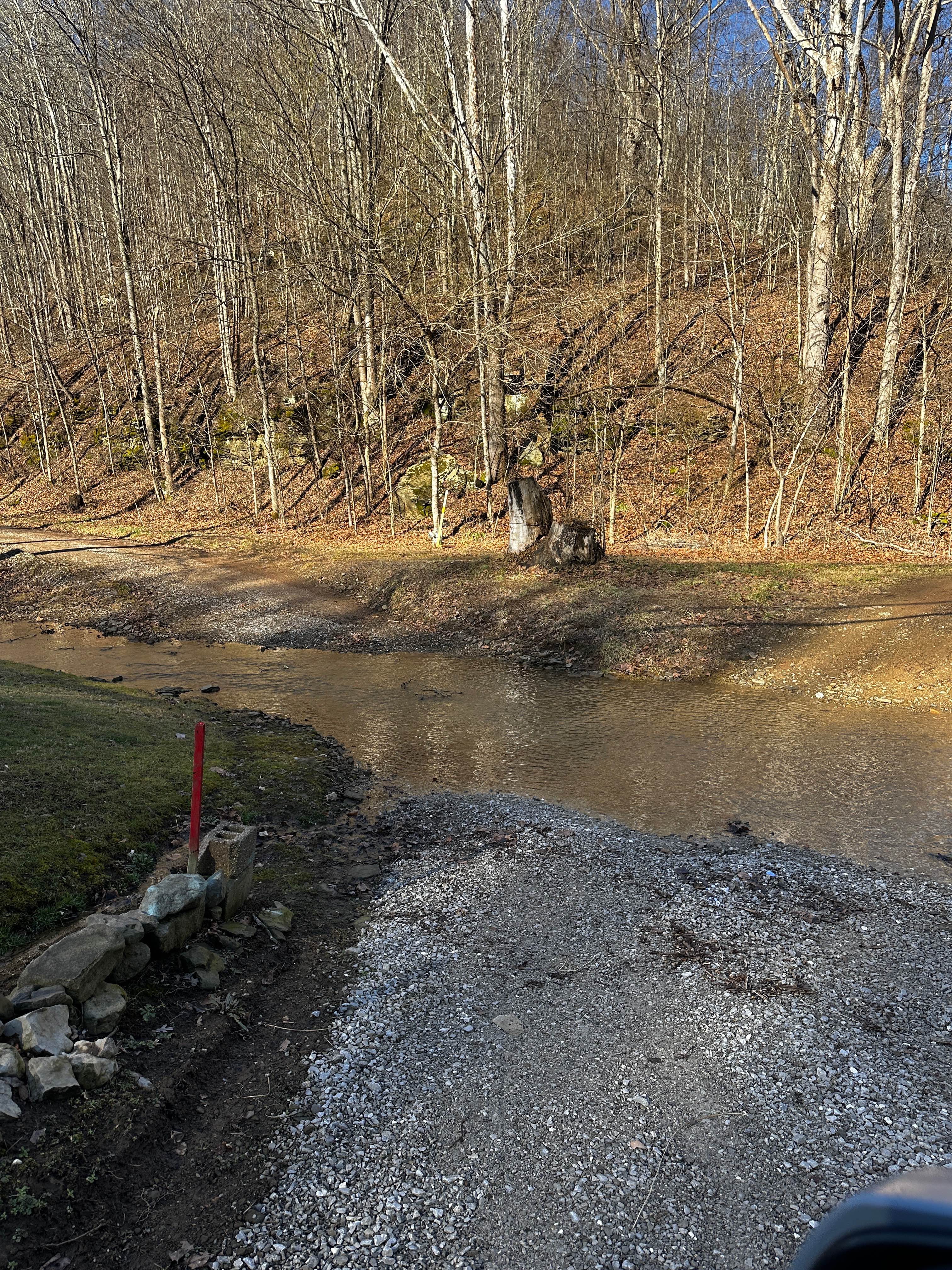
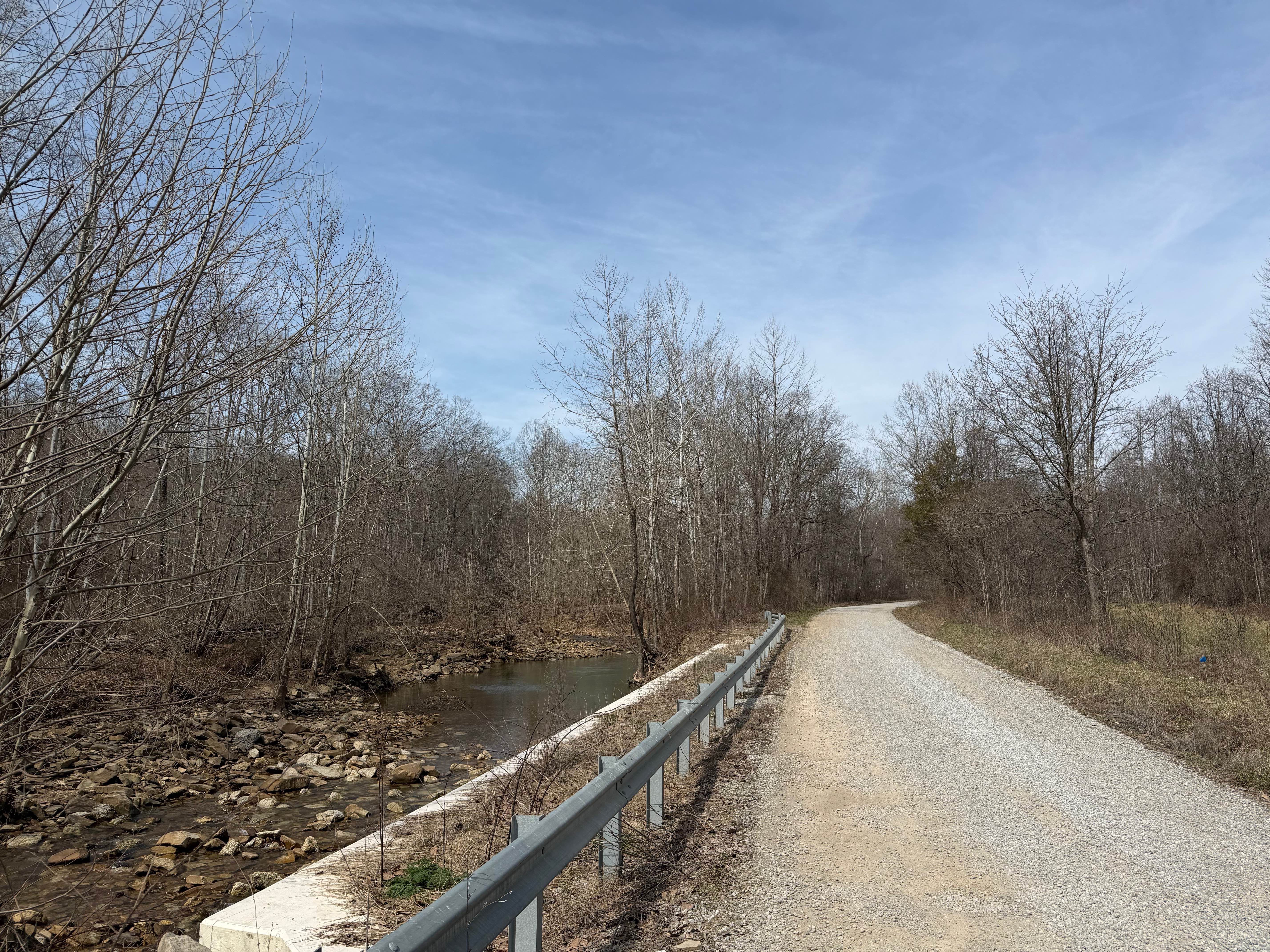
Trail Overview
This route is one of the favorites of people from Marietta and surrounding areas. You start the trail at a covered bridge and then you follow Haught run from the end of County road 407 following the stream winding back and forth to the top of the mountain. This trail is high clearance only. Do not attempt with a stock vehicle and do not drive in mud holes you have not personally verified depth. There are some with rock-solid bottoms and some that are deep enough to swallow a rig on 40" tires with ease. There is a trail badge for this route from Off-road Exploration because it is indeed warranted from everything this trail throws at you. Creek crossings, mud holes, hill climbs, traversing through lots of rocks going up steep grades. Long vehicles will have considerably more trouble than short vehicles on this route. There is a video of 70% of this route on YouTube that I have linked below. This route would be considered a hard blue in difficulty almost reaching black status. Please do not go alone unless you are sure of your recovery abilities. Youtube video of Trail https://www.youtube.com/watch?v=FGp9WP-8jtg
Photos of Haught Run

Difficulty
Rocks galore, stream crossings, and rutted areas. The video included will show trail and difficulties of off-road exploration
History
This road is used for oil and gas service routing since the 1800s to the present day. It is not maintained other than when the oil and gas industry has to repair a well.
Status Reports
Haught Run can be accessed by the following ride types:
- High-Clearance 4x4
- SxS (60")
- ATV (50")
- Dirt Bike
Haught Run Map
Popular Trails
Township Highway NR1
Turkey Run Road

Plecher Road to Pyramid House
The onX Offroad Difference
onX Offroad combines trail photos, descriptions, difficulty ratings, width restrictions, seasonality, and more in a user-friendly interface. Available on all devices, with offline access and full compatibility with CarPlay and Android Auto. Discover what you’re missing today!