Toe River Trail
Total Miles
4.0
Technical Rating
Best Time
Spring, Fall
Trail Type
Full-Width Road
Accessible By
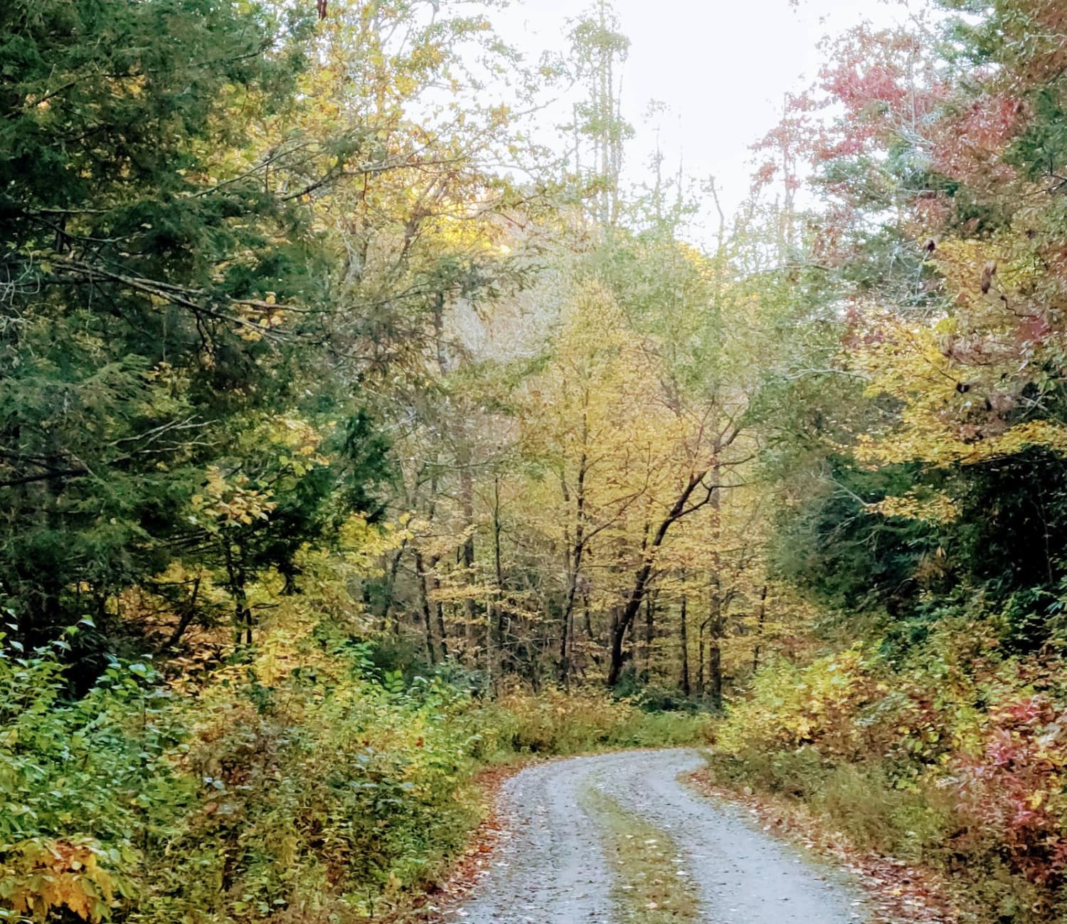
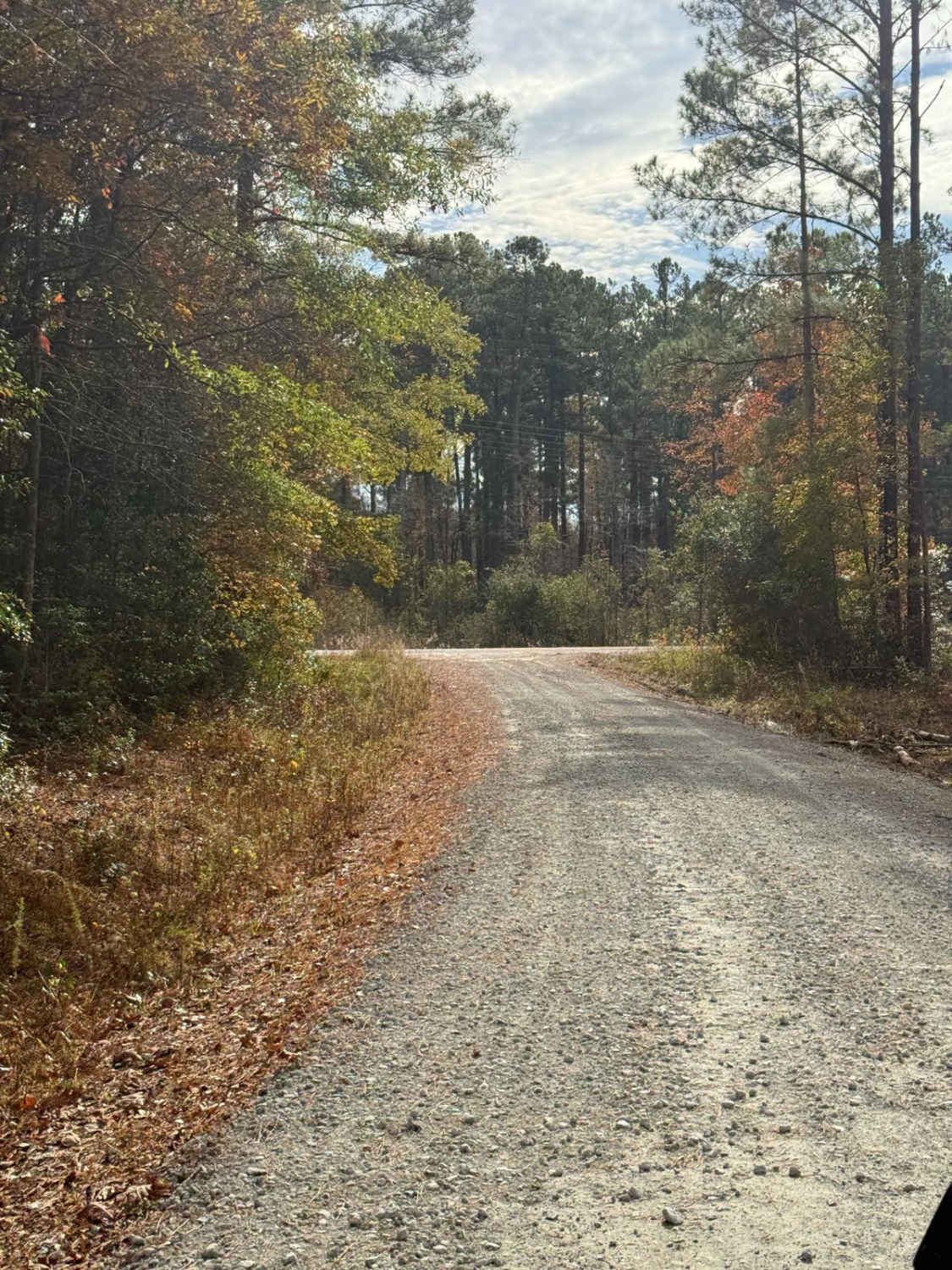
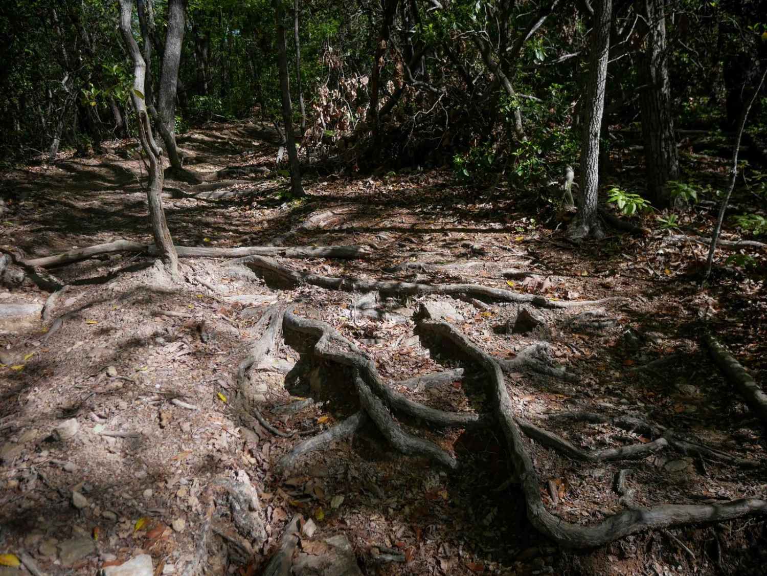
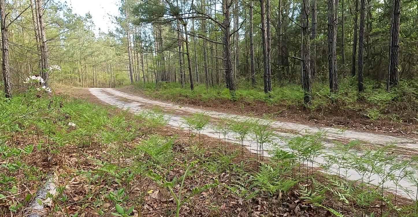
Trail Overview
This trail starts off Blue Ridge Parkway near Horse Trail Gap and Hewat Overlook in the Pisgah National Forest. The Gap and nearby overlooks offer breathtaking views at sunrise and sunset. It is a fairly easy trail that offers a chance to get off the tarmac and explore the wilderness nearby. The trail runs beside a small fishing stream in a hunting area. Riders can expect to hear gunshots. Camping is allowed on federal lands. Ashville town is nearby and offers wonderful fall colors.
Photos of Toe River Trail

Difficulty
Muddy trails can be a problem for low-riding SUVs with no 4WD.
Status Reports
Toe River Trail can be accessed by the following ride types:
- High-Clearance 4x4
- SUV
- ATV (50")
- Dirt Bike
Toe River Trail Map
Popular Trails
Chowan Gamelands - Deer Spotter
Dixon Fields
The onX Offroad Difference
onX Offroad combines trail photos, descriptions, difficulty ratings, width restrictions, seasonality, and more in a user-friendly interface. Available on all devices, with offline access and full compatibility with CarPlay and Android Auto. Discover what you’re missing today!