It's a Road
Total Miles
3.9
Technical Rating
Best Time
Spring, Summer, Fall, Winter
Trail Type
Full-Width Road
Accessible By
Trail Overview
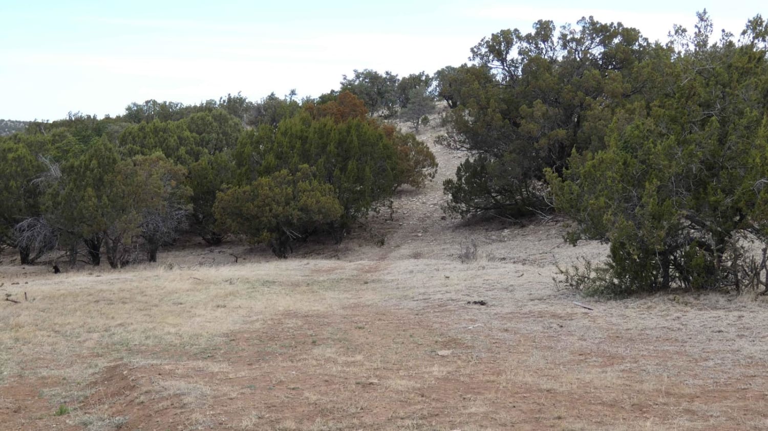
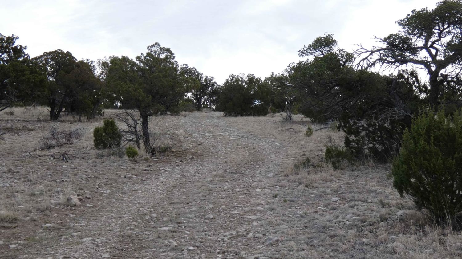
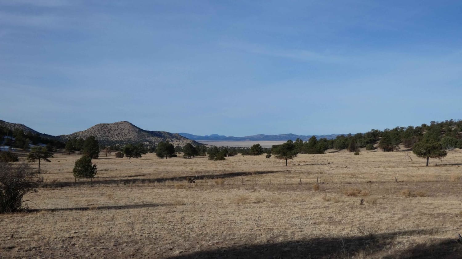
It's A Road is one of several spurs that runs east off of Sargent Tank. The trail starts with a steep grade ascent on a loose rocky surface and remains rocky throughout with only a couple of small sections being primarily dirt. There are multiple rock gardens along the trail with some having obstacles up to 14" and a few on short steep grades. The trail is single vehicle wide with areas to pass with certain areas having foliage overgrowth that impedes on the track. Dispersed camping is permitted through the trail, but there are only a few areas open and flat enough to cater. Views begin fairly limited and are wide open to the south once on the ridge. There is no cell service until the last 1.5 miles of the trail. The trail ends where it intersects NM State land at state road G-032 and eventually runs back into BLM land to the east, or back to the Guadalupe Range to the south. Most 4x4's will have no issue traversing the trail. There are hiking trails along the route but are not designated with signage, and there are no motorized spurs off the main trail.
Photos of It's a Road
Difficulty
You will come across rock gardens with obstacles up to 14", loose rocky surface, foliage overgrowth, steep grades, and some slightly off camber portions on this trail.
Status Reports
It's a Road can be accessed by the following ride types:
- High-Clearance 4x4
- SUV
- SxS (60")
- ATV (50")
- Dirt Bike
It's a Road Map
Popular Trails

Chupaderos Connector
Gallinas Palisade
The onX Offroad Difference
onX Offroad combines trail photos, descriptions, difficulty ratings, width restrictions, seasonality, and more in a user-friendly interface. Available on all devices, with offline access and full compatibility with CarPlay and Android Auto. Discover what you’re missing today!