Brendan T. Byrne to Bear Swamp Hill
Total Miles
39.5
Technical Rating
Best Time
Spring, Summer, Fall, Winter
Trail Type
Full-Width Road
Accessible By
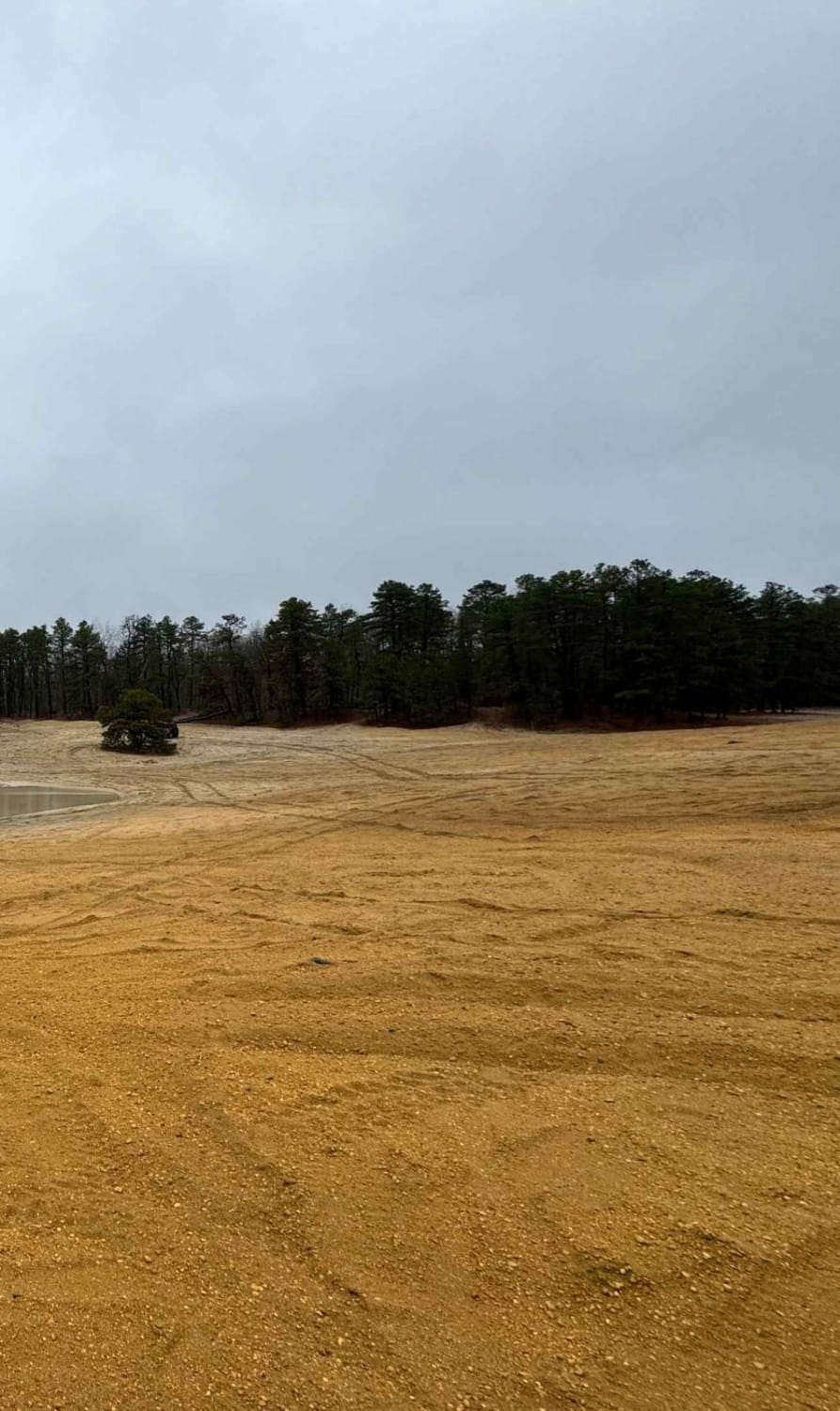
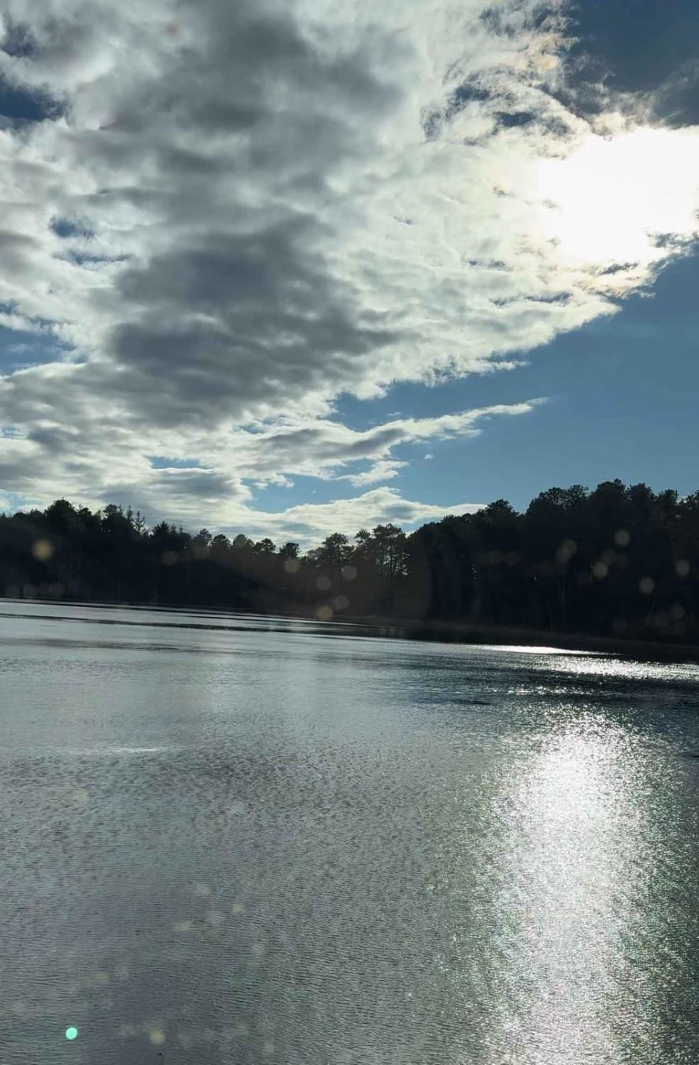
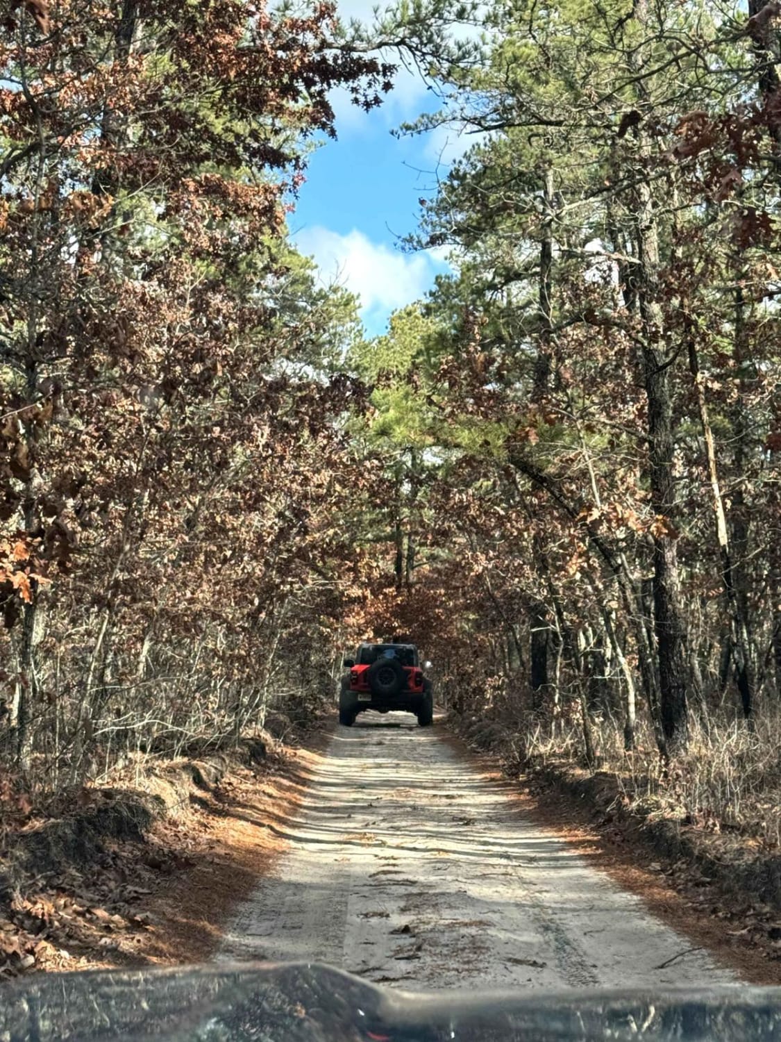
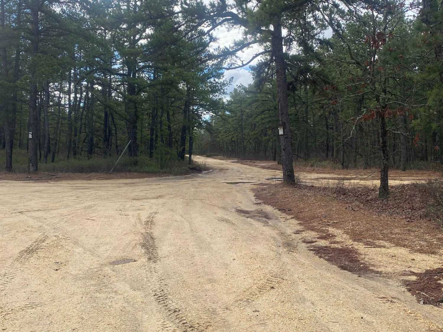
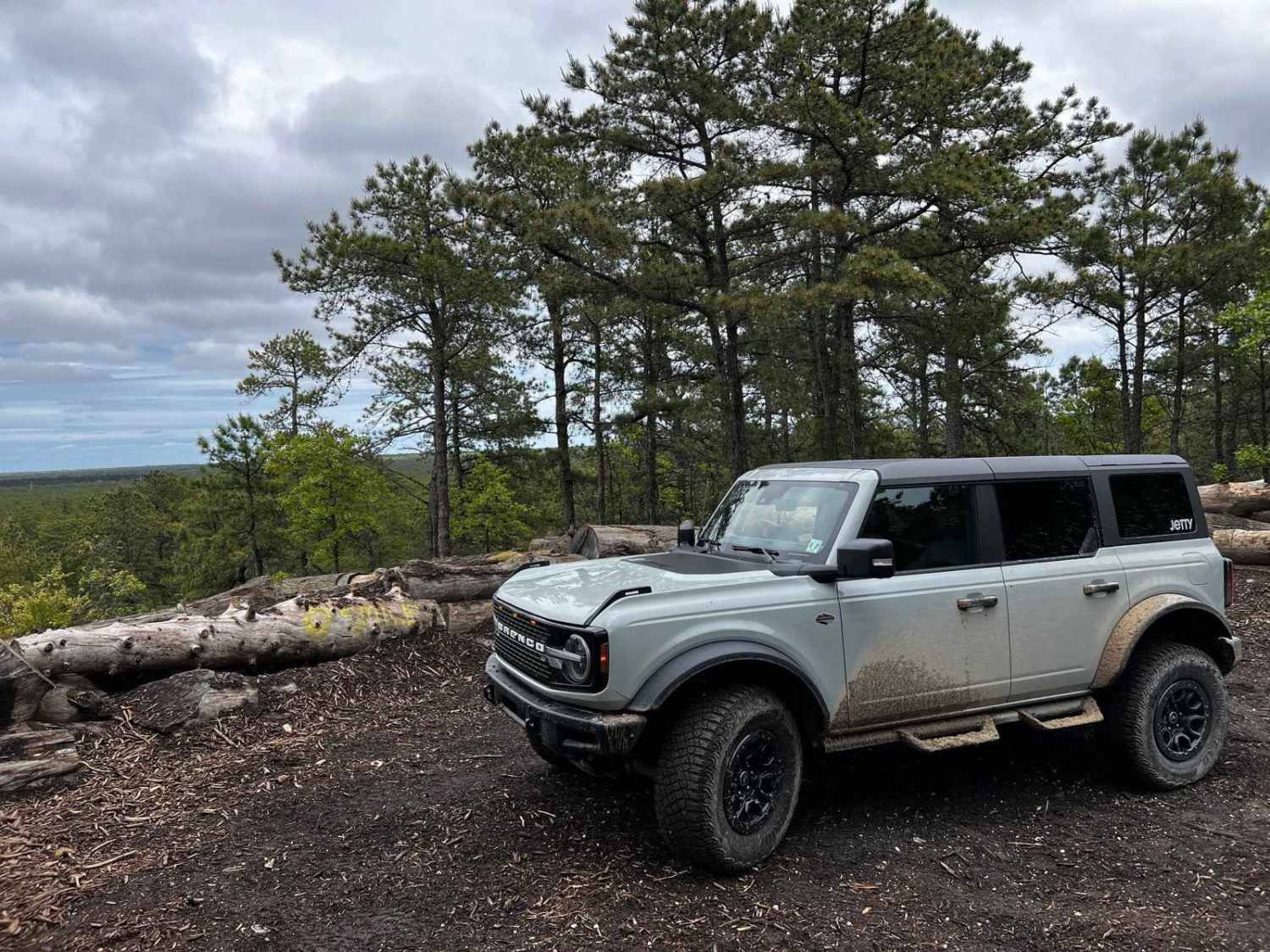
Trail Overview
This trail begins in the Brendan T. Byrne State Forest and ends at Bear Swamp Hill Loop. The trail runs northeast, turns south, and transitions southwest. The beginning is located on Route 72, turning into the forest, and ends at the Atsion Ranger Station. It provides a 26-mile ride through the dense forests. The trail is mostly easy, composed of dirt and gravel roads that include water crossings. Along the route, there are also hiking trails, campsite locations, and several smaller trails and connections to other sections. This route can be completed in either direction; be courteous to those traveling in the opposite direction or joining from other parts of the forest. For many parts of the year, this area has water crossings. Stay to the sides or utilize bypasses.
Photos of Brendan T. Byrne to Bear Swamp Hill
Difficulty
This trail is intermediate; there's uneven or rutted dirt trail in some places with potential for sandy washes. Water crossings can get as high as 18 inches. There's potential for mud holes and trail obstacles up to 12 inches, including short, steep grades. Roads are typically one vehicle wide with places to pass.
Status Reports
Brendan T. Byrne to Bear Swamp Hill can be accessed by the following ride types:
- High-Clearance 4x4
- SUV
Brendan T. Byrne to Bear Swamp Hill Map
Popular Trails
Savoy Boulevard Return
UTT Connector Trail
Tuckerton Road Trail
Forked River Mountain Summit
The onX Offroad Difference
onX Offroad combines trail photos, descriptions, difficulty ratings, width restrictions, seasonality, and more in a user-friendly interface. Available on all devices, with offline access and full compatibility with CarPlay and Android Auto. Discover what you’re missing today!