Cobden Point Lookout (FSR 9907)
Total Miles
4.0
Technical Rating
Best Time
Summer, Fall
Trail Type
60" Trail
Accessible By
Trail Overview
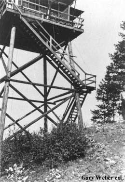
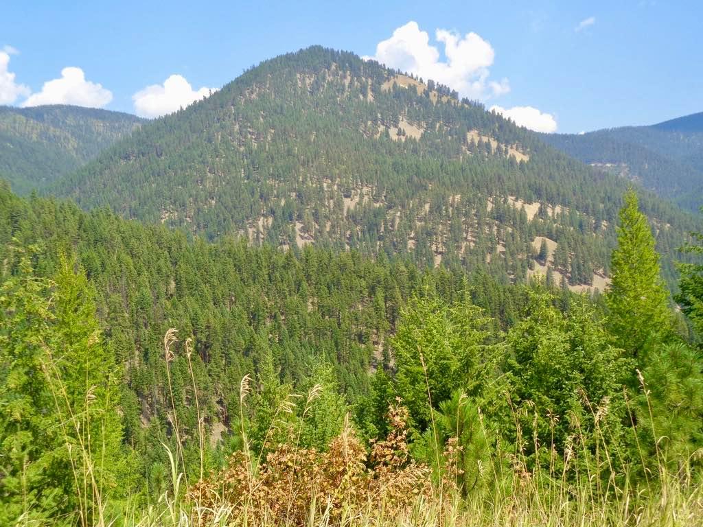
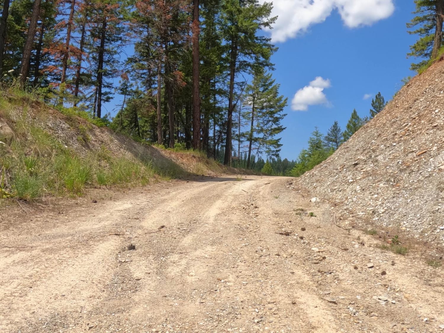
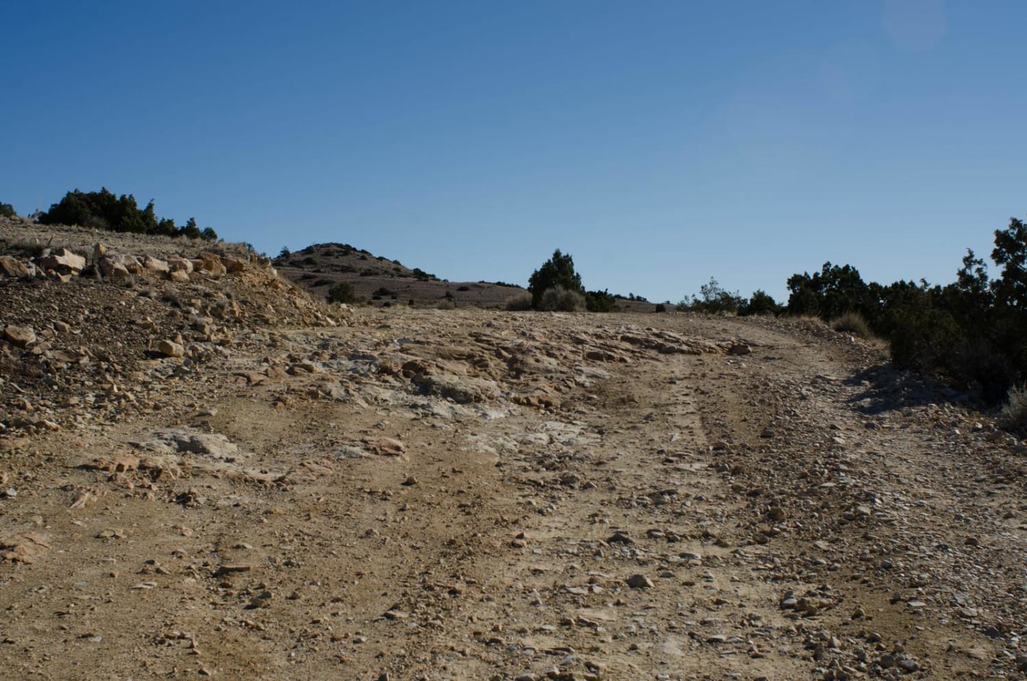
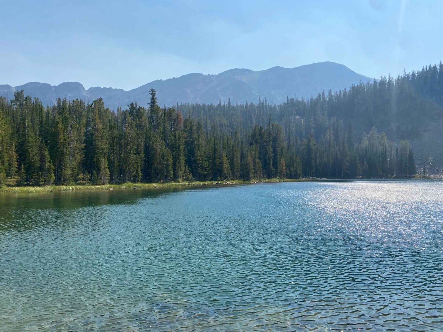
The route begins off a two-lane gravel road. The route passes through a loose rocky road and then a grassy rock surface to the lookout. The banks of the route are very steep in some areas of the route. Even though this is a short adventure, it opens some beautiful views of the I-90 corridor below the 4300' lookout. There are a few open flat areas to stop for a picnic or just enjoy the views. The lookout has been dismantled since 1967.
Photos of Cobden Point Lookout (FSR 9907)
Difficulty
The closer you get to the summit of the route, the narrower the route becomes. The upper sections of the route is a single lane with no room to pass with very steep grassy banks on both sides of the route. The very top turn around, off the top of the lookout is very narrow and steep. There is an area before the top section to turn around if you don't feel comfortable riding to the very top.
History
The Lookout Tower was dismantled in 1967.
Status Reports
Cobden Point Lookout (FSR 9907) can be accessed by the following ride types:
- SxS (60")
- ATV (50")
- Dirt Bike
Cobden Point Lookout (FSR 9907) Map
Popular Trails

Lost Horse Ridgeline Lower
Flat Creek Road - Pardee Creek Road
The onX Offroad Difference
onX Offroad combines trail photos, descriptions, difficulty ratings, width restrictions, seasonality, and more in a user-friendly interface. Available on all devices, with offline access and full compatibility with CarPlay and Android Auto. Discover what you’re missing today!