Twelvemile Creek FSR 2130
Total Miles
0.8
Technical Rating
Best Time
Spring, Fall, Winter, Summer
Trail Type
Full-Width Road
Accessible By
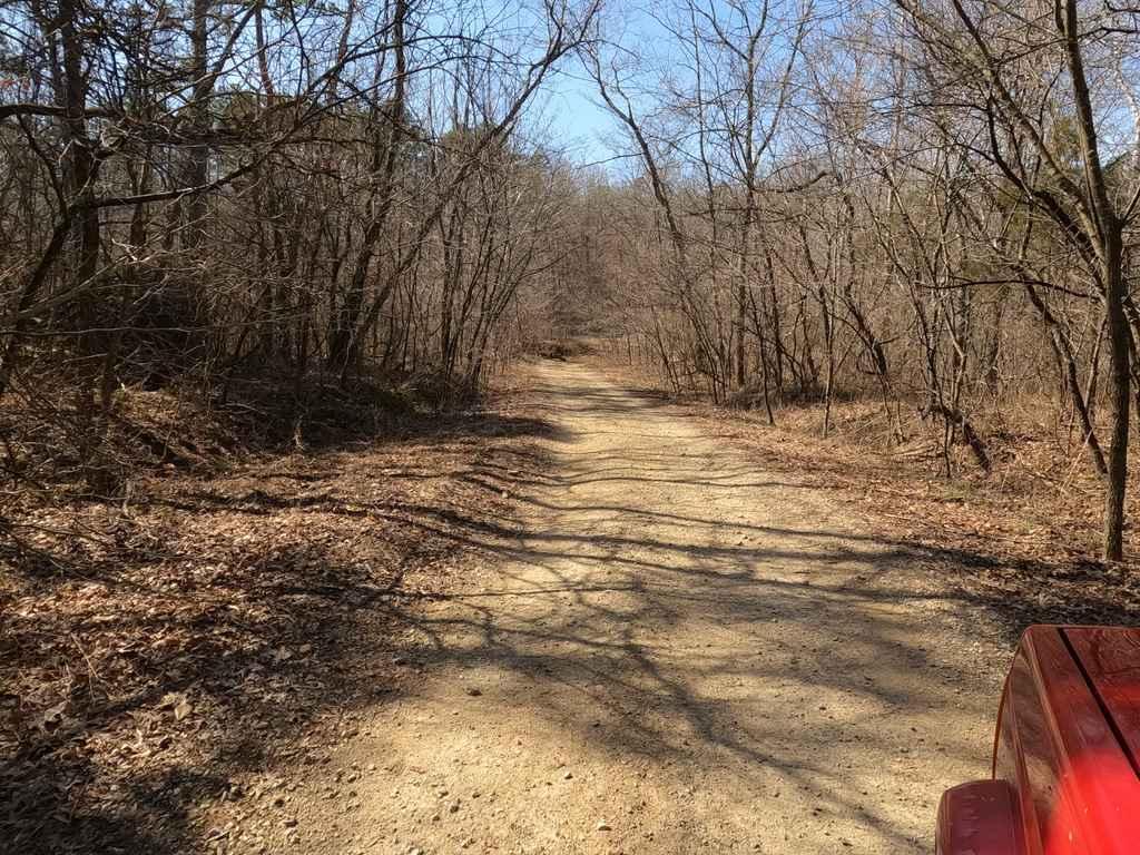
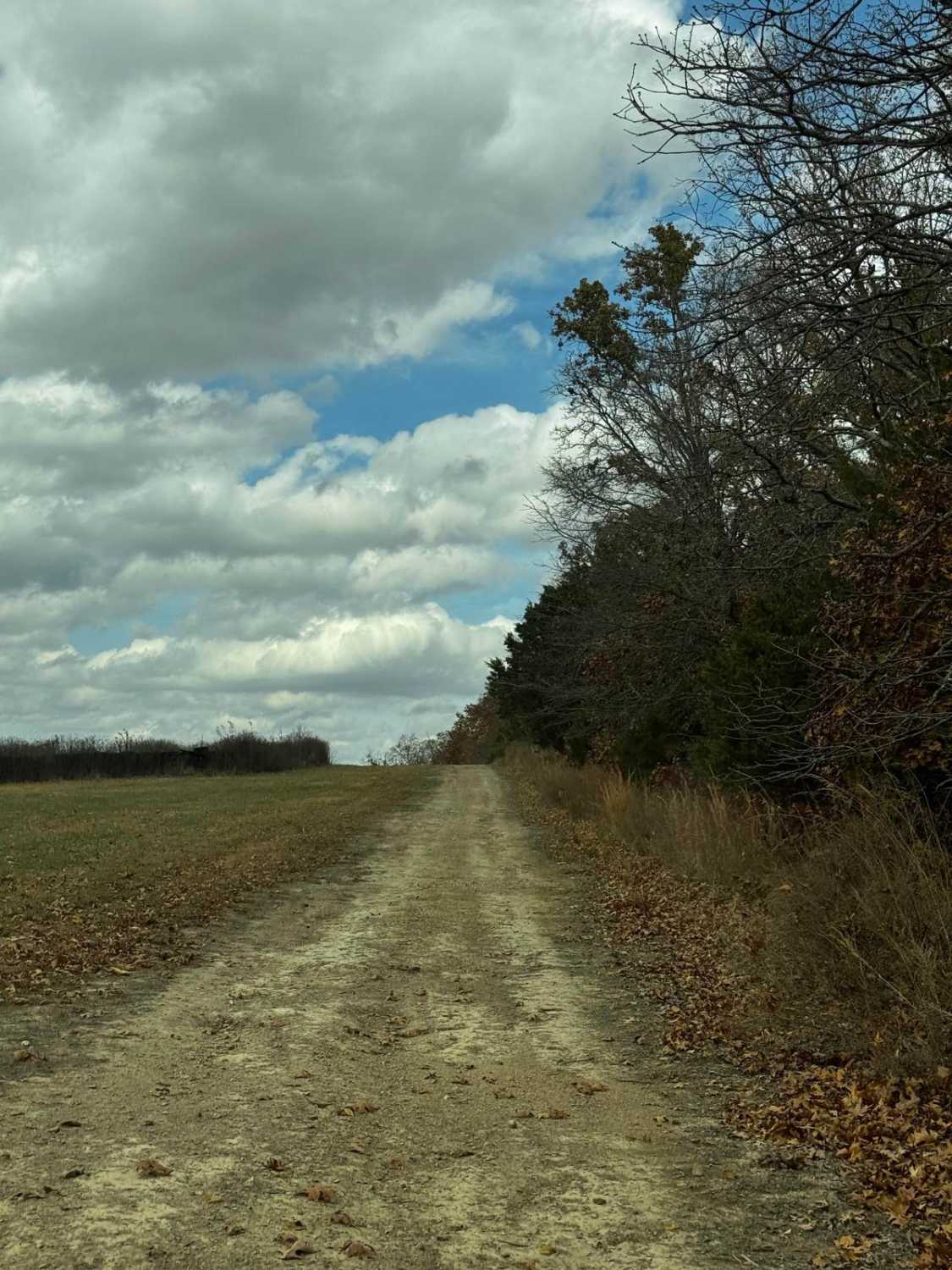
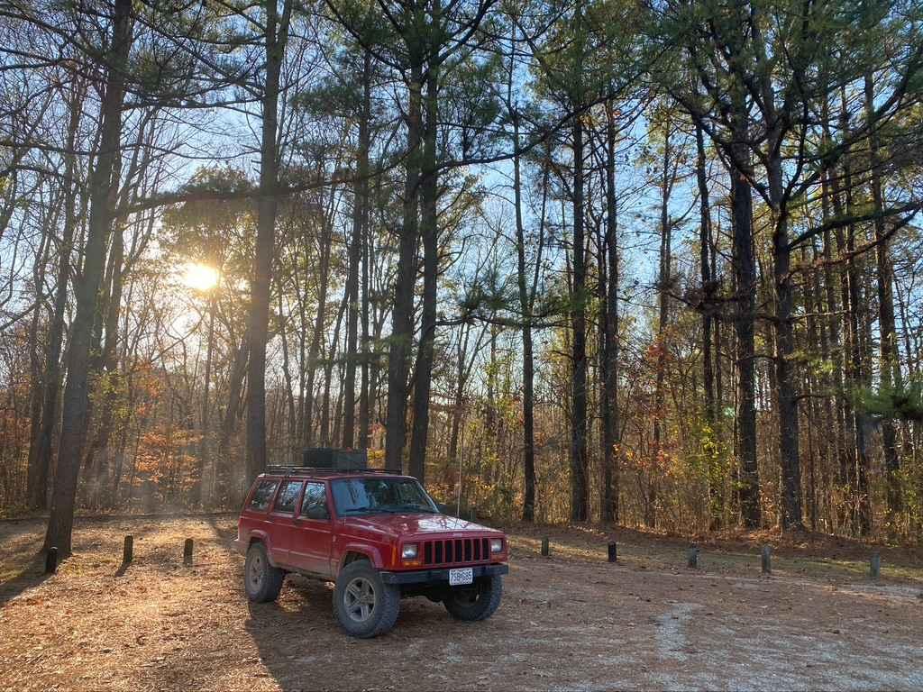
Trail Overview
Twelvemile Creek FSR 2130 is a gravel-leaning natural improved forestry route through the Fredericktown sector of Mark Twain National Forest. It features a creek crossing at Twelvemile Creek right out of the gate, but then slowly tracks up a rutted hill, to a flattened-out area, where an overland campsite cutout exists (on the right side at 37.47518, -90.31328) and shortly after Twelvemile Creek Loop trail begins (left turn at 37.47493, -90.31395), leading you back to US-67. This is a great fun little excursion right off US-67 that can be kept simple and mild, but if paired with the Twelve Mile loop can bring some challenge and thrill to your day.
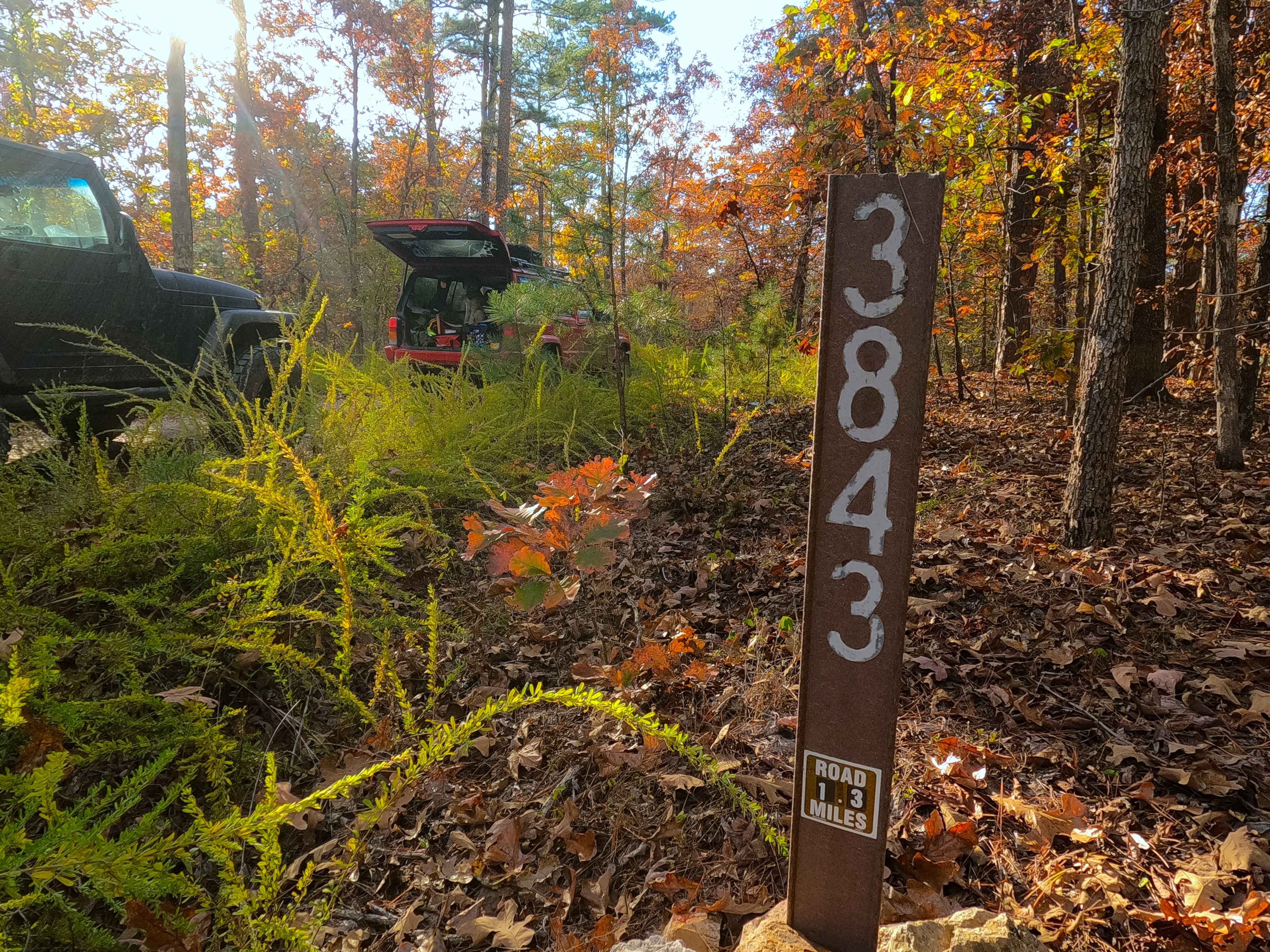
Photos of Twelvemile Creek FSR 2130

Difficulty
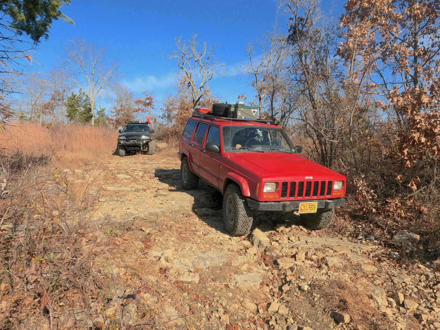
The biggest two obstacles to note are the creek crossing, which could have a potential 2 feet of depth in a rainstorm, but is typically running at 8"-12" on a sunny day, and the rutted hill, which has a depth of about 18' to 2 foot from the road that surrounds it, though with the road being wide here there is plenty of room to ride alongside or maneuver past it. The gravel of the road in places is nonexistent and feels more natural with the landscape and terrain of the area. Rides like a 3 on a dry day, but could ride more like a 4 in wet conditions.
Status Reports
Twelvemile Creek FSR 2130 can be accessed by the following ride types:
- High-Clearance 4x4
- SUV
Twelvemile Creek FSR 2130 Map
Popular Trails
General Watkins Park Road
West Fork East - FS 509
Fox Trot - FS 3843
The onX Offroad Difference
onX Offroad combines trail photos, descriptions, difficulty ratings, width restrictions, seasonality, and more in a user-friendly interface. Available on all devices, with offline access and full compatibility with CarPlay and Android Auto. Discover what you’re missing today!