Funk Branch Road
Total Miles
5.5
Technical Rating
Best Time
Spring, Summer, Fall, Winter
Trail Type
Full-Width Road
Accessible By
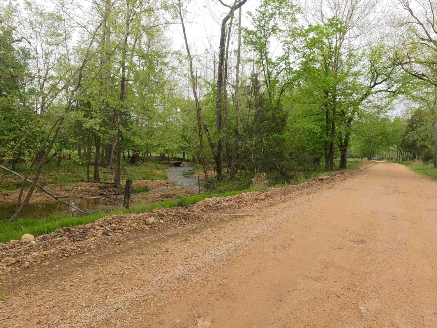
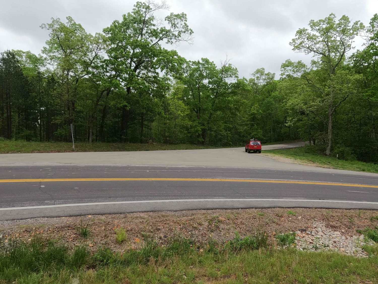
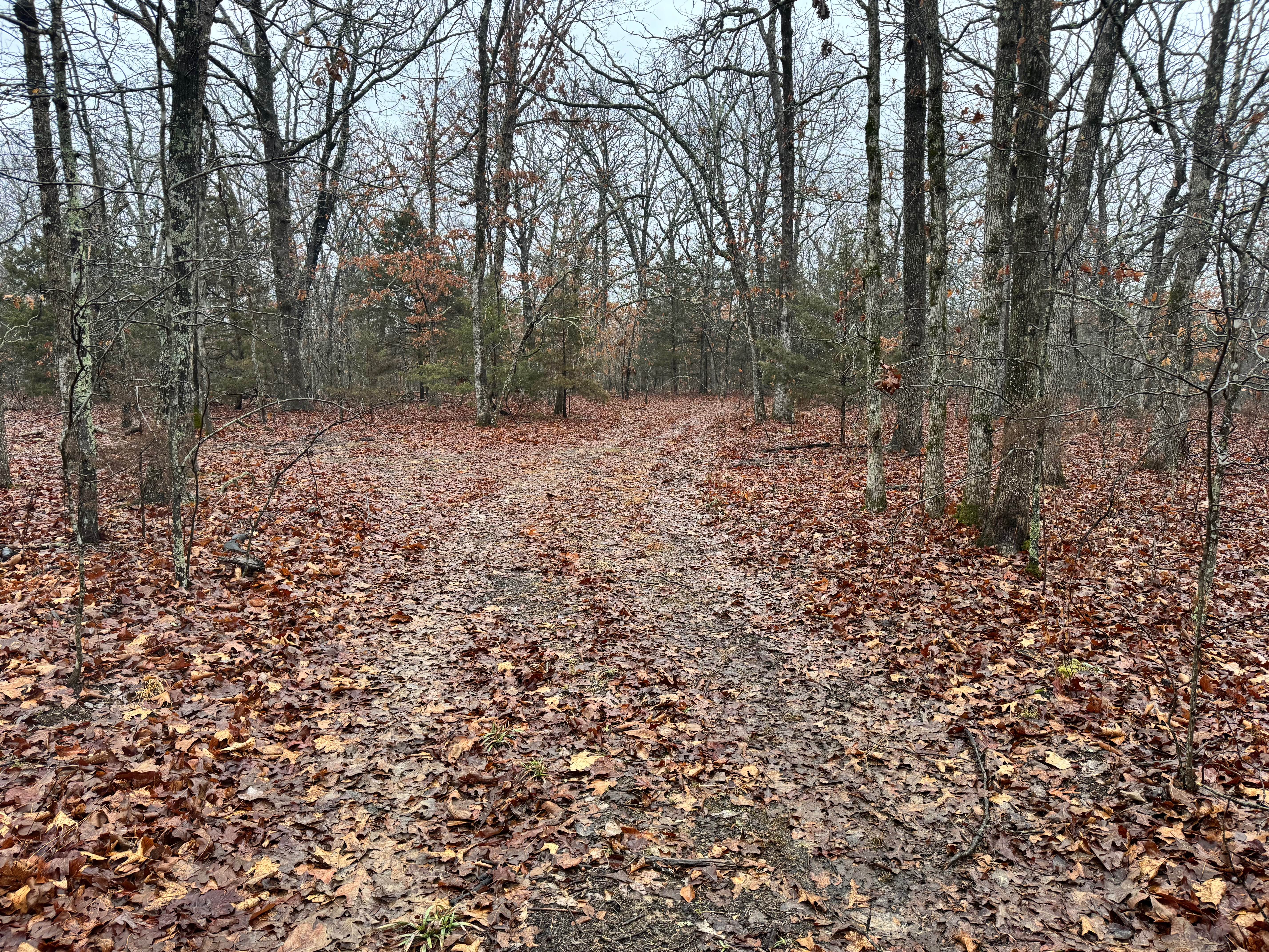
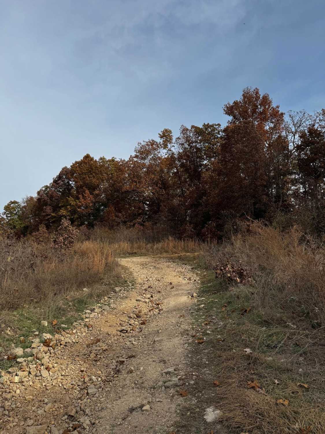
Trail Overview
Funk Branch Road, or the combination road of Reynolds County Road 456 and Iron County Road 149, is a coarse gravel county road along the Funk Branch Creek, providing access to the north side of the Black River Bottoms area within the Clearwater Lake U.S. Army Corps of Engineer Land. The road begins off Missouri Route K, from hilltops just west of Annapolis, Missouri, and for the first 1.7 miles is recently paved (as of 4/2024). It drops from 930 feet in elevation into the valley resting at 700 feet, where the road becomes gravel at 37.32751, -90.72470. From the point the road transitions to gravel, the Funk Branch Creek is never far from sight, providing a great scenic look into the Missouri valley, featuring creeks, farms, barns, low water bridges, and livestock. The overall track is easy and slowly goes downhill the last 140 feet in the gravel section, crossing paths with the creek several times, passing Missouri Route BB, and ultimately ending at the intersection with Hackworth Hollow Trail and Mann Cemetery Road. This road may not be the biggest thrill of the area, but it is the northern gateway to the beginning or conclusion of an adventure in the bottoms, with scenery to carry one's attention throughout.
Photos of Funk Branch Road
Difficulty
Funk Branch Road is very simple and mostly scenic. The main portion of this road is a maintained 1/10 rated gravel road featuring coarse gravel with exposed natural rock appearing at the surface. It has washboarding, potholes, and mounding in times of heavy use in between maintenance cycles. In rare instances during heavy flash flooding, some of the creek crossing points may have water crossing the road and should be evaluated before crossing. Be cautious as this would raise the difficulty.
History
Many shared roads between counties in the area are given pet names. The joint Reynolds County 456 and Iron County 149 were given the pet name Funk Branch Road (as the creek was also named before it), all due to the strong presence of the Funk family in the area. The history surrounding the bottoms is one of fighting for public access. This is an example where the presence and public use of Reynolds County Roads 464, 462, 460, 458, 456, 446A, and more have been the driving force keeping these trails open. Locals refuse to let their historic roads be taken away, yielding a place we all can enjoy and use. Please do your part in keeping this place alive; pack it in/pack it out, follow the green and red route markers as marked, and don't drive in the Black River or form new trails.
Funk Branch Road can be accessed by the following ride types:
- High-Clearance 4x4
- SUV
- SxS (60")
- ATV (50")
- Dirt Bike
Funk Branch Road Map
Popular Trails
Trike Flat Track

Outer Limits Spur

The onX Offroad Difference
onX Offroad combines trail photos, descriptions, difficulty ratings, width restrictions, seasonality, and more in a user-friendly interface. Available on all devices, with offline access and full compatibility with CarPlay and Android Auto. Discover what you’re missing today!