Onamia to Wahkon
Total Miles
8.0
Technical Rating
Best Time
Spring, Summer, Fall
Trail Type
60" Trail
Accessible By
Trail Overview
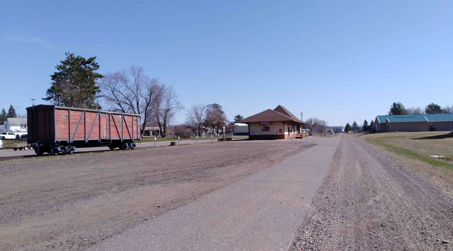
Onamia to Wahkon on the Soo Line South is a section of converted rail grade. At 8.2 miles long, it takes about 30 minutes with an average speed of 13.7 MPH. This section of the Soo Line South Trail is provided by Mille Lacs County and maintained by the Mille Lacs Drift Skippers Snowmobile/ATV Club. Please use care when others are present on the asphalt trail that parallels the north side of the ATV gravel trail.
Photos of Onamia to Wahkon
Difficulty
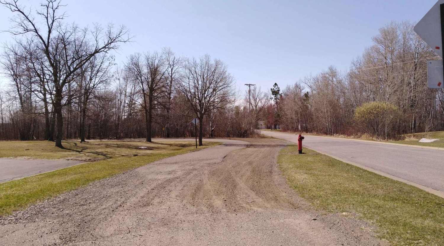
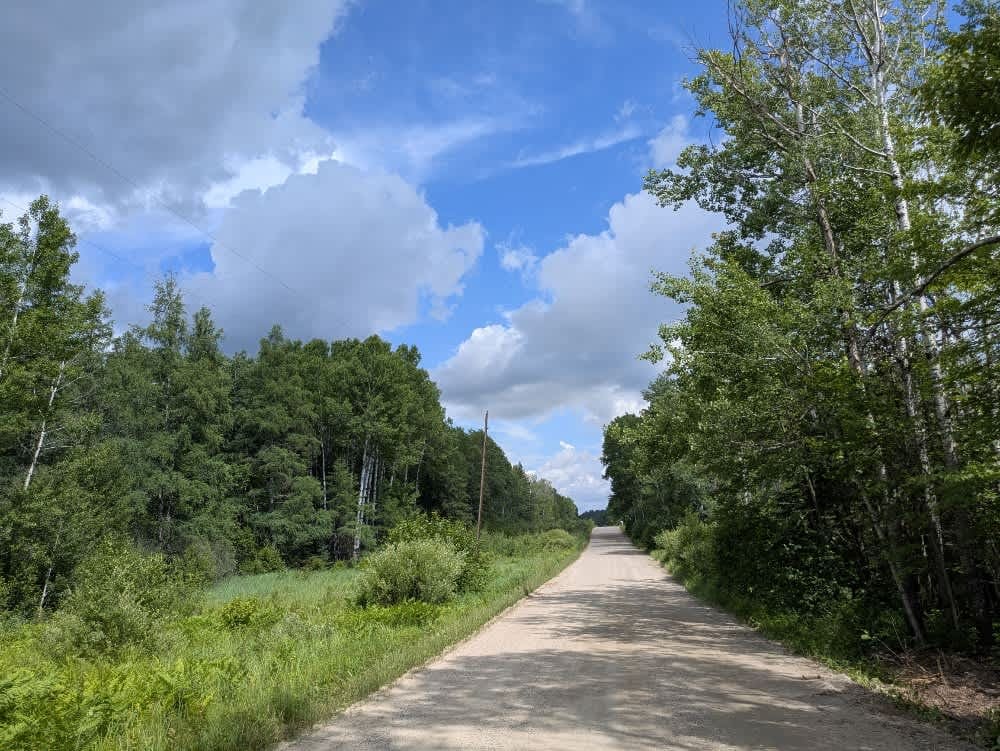
The section is easy and flat converted rail grade. There's no need for 4x4 or even to lock the rear differential. After several days of rain in the area, this section of trail remains solid and doesn't have any large areas of deep water to cross. The surface is packed gravel without large rocks. Some of the areas have larger stones in the gravel but do not pose an issue. Do pay attention to the edge of the trail, as it can have steep banks since it is converted rail grade. Bridge crossings are well marked and are the only areas you need to use extra care and slow down.
Status Reports
Onamia to Wahkon can be accessed by the following ride types:
- SxS (60")
- ATV (50")
- Dirt Bike
Onamia to Wahkon Map
Popular Trails

76th Avenue Northeast / East Lake Rice Spur

Franti Road
Hannula Road

Kane Lake Spur J
The onX Offroad Difference
onX Offroad combines trail photos, descriptions, difficulty ratings, width restrictions, seasonality, and more in a user-friendly interface. Available on all devices, with offline access and full compatibility with CarPlay and Android Auto. Discover what you’re missing today!