Mill Mine Trail
Total Miles
6.4
Technical Rating
Best Time
Summer, Spring, Fall, Winter
Trail Type
Full-Width Road
Accessible By
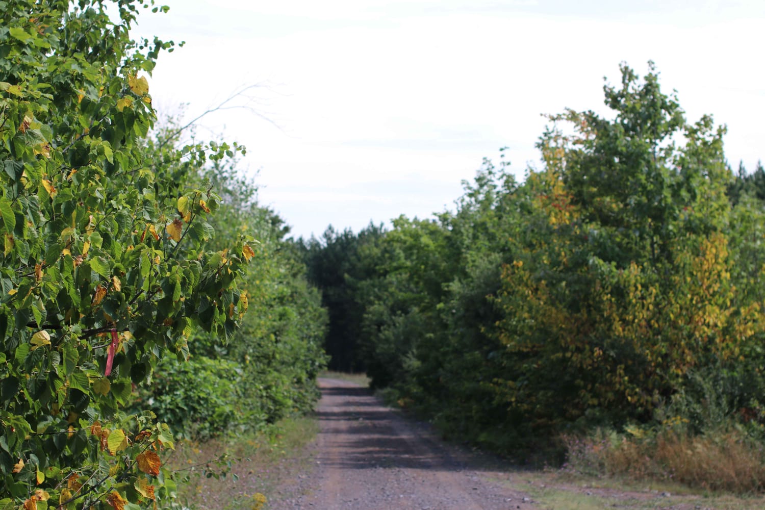
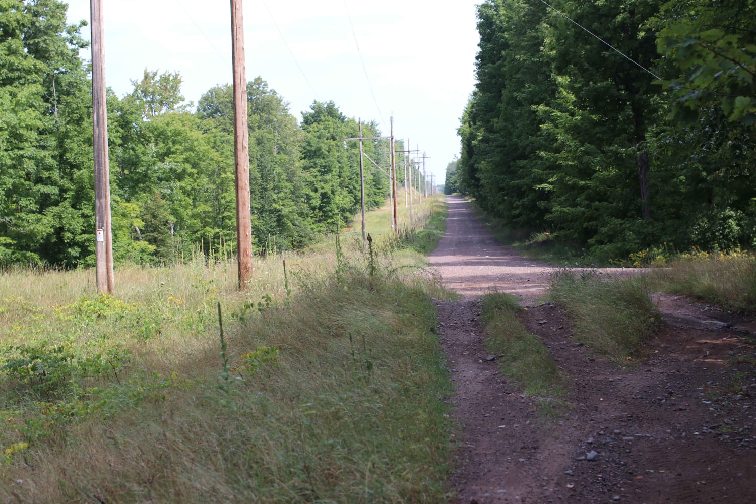
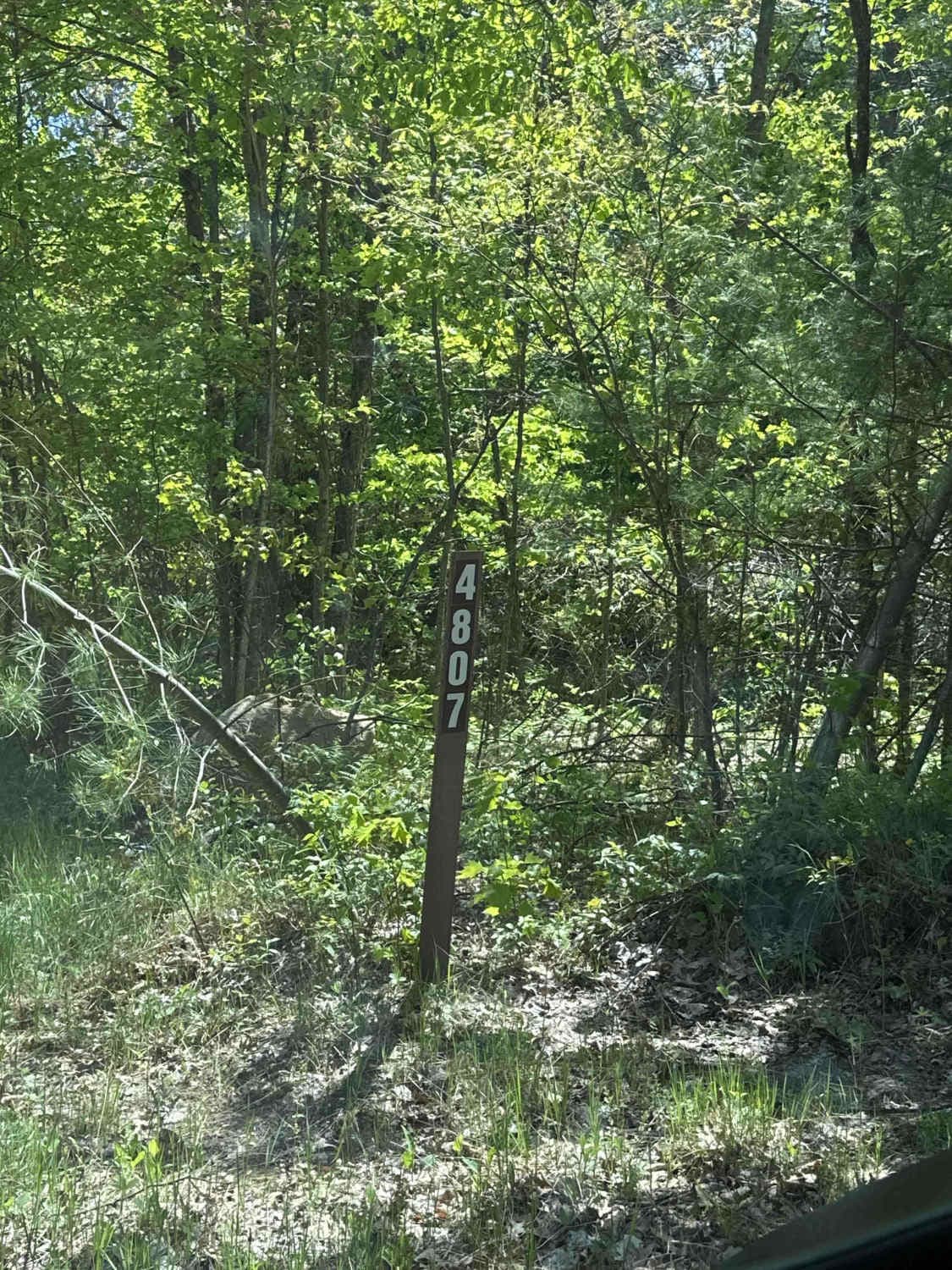
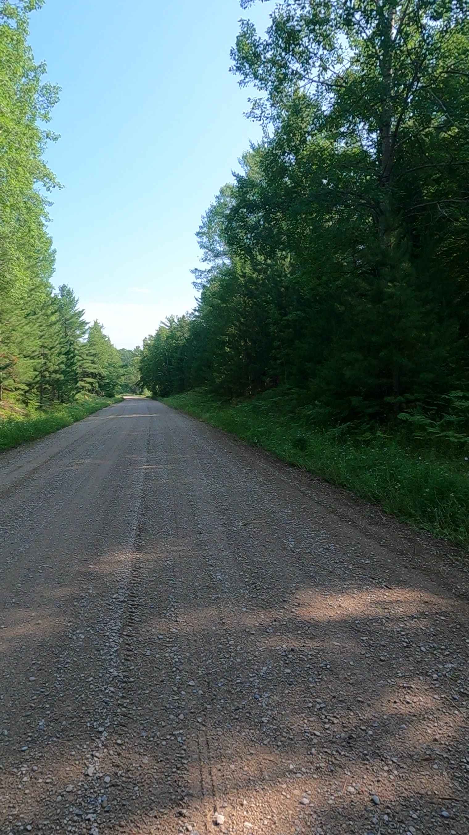
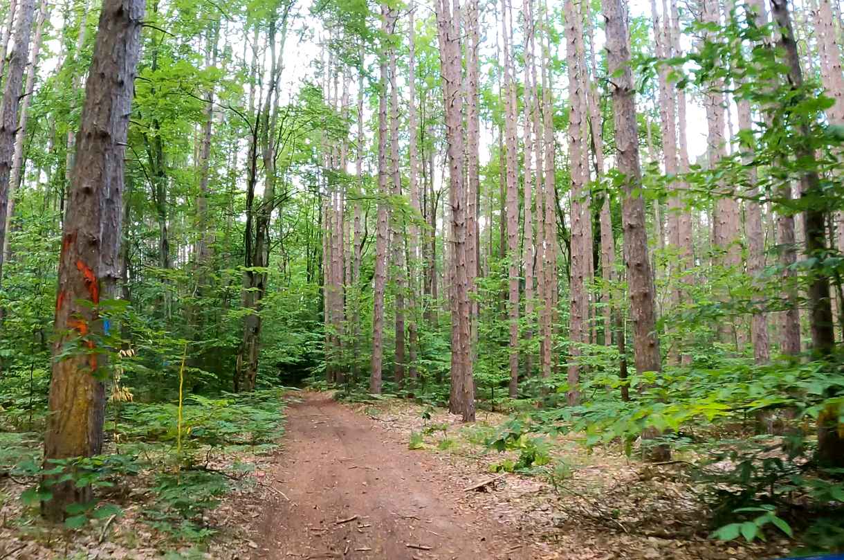
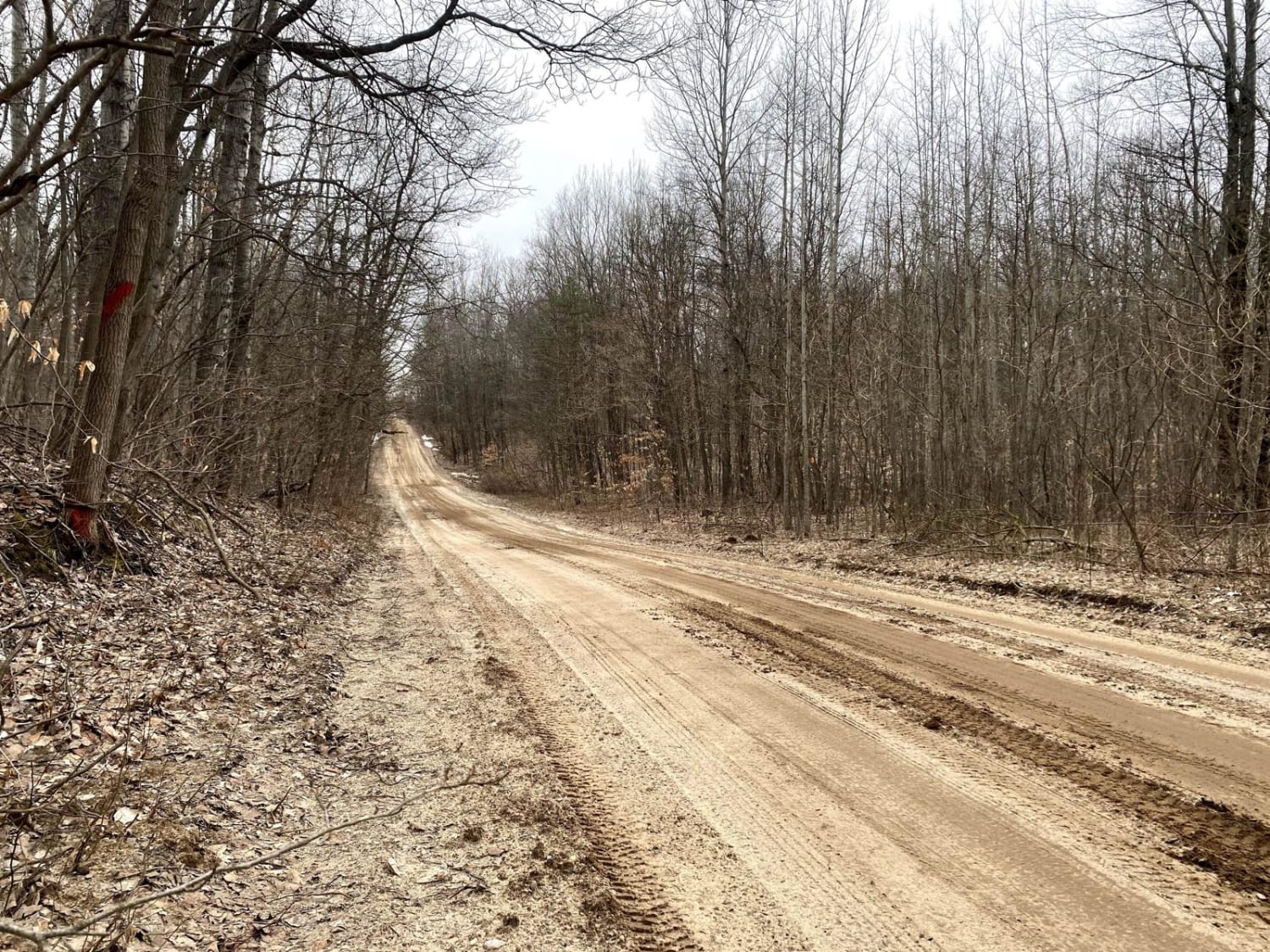
Trail Overview
This trail runs along an old railroad grade off the Bill Nicholls trail back to the Bill Nicholls trail. It is an alternative to running through the towns of Painesdale, Trimountain, and South Range. The trail is easy on the North end but has a couple small water crossings on the South end that vary based on rainfall. The entrance to the South end is overgrown and very tight for large overlanding rigs. This is an ungroomed snowmobile trail in the winter.
Photos of Mill Mine Trail
Difficulty
The trail has a solid base most of the time. There can be mud after a heavy rain but it typically drains well and is not deep. Water crossings are never over 12"
History
Was a rail line that bypassed several mines to get directly to the copper mills on Lake Superior.
Status Reports
Mill Mine Trail can be accessed by the following ride types:
- High-Clearance 4x4
- SUV
- SxS (60")
- ATV (50")
- Dirt Bike
Mill Mine Trail Map
Popular Trails
Mormon Creek Road - FSR 2231
The onX Offroad Difference
onX Offroad combines trail photos, descriptions, difficulty ratings, width restrictions, seasonality, and more in a user-friendly interface. Available on all devices, with offline access and full compatibility with CarPlay and Android Auto. Discover what you’re missing today!