Trail Overview
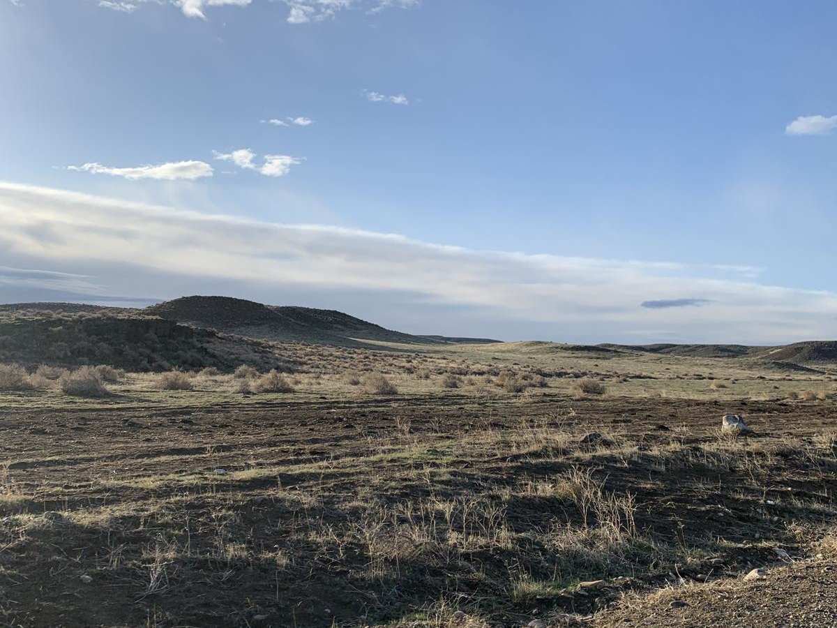
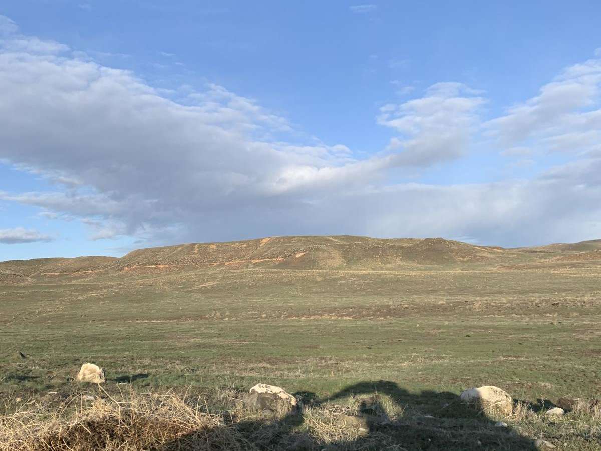
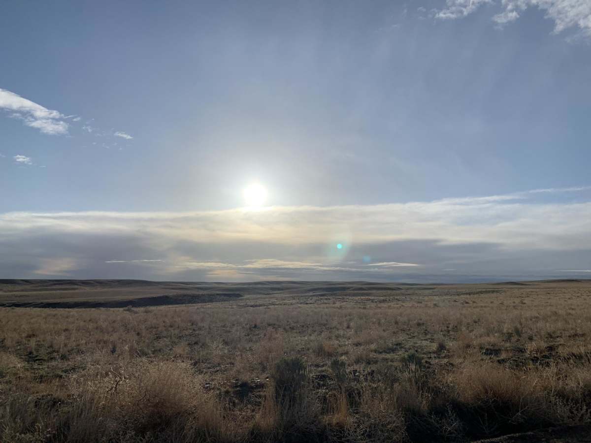
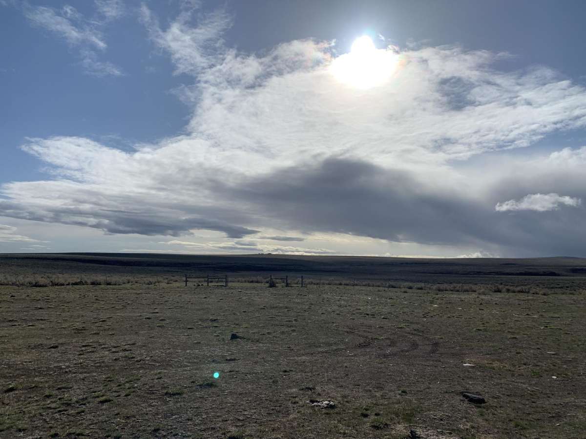
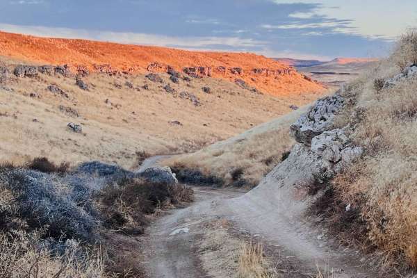
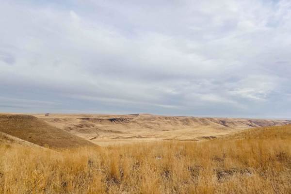
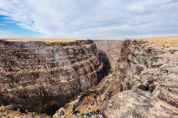
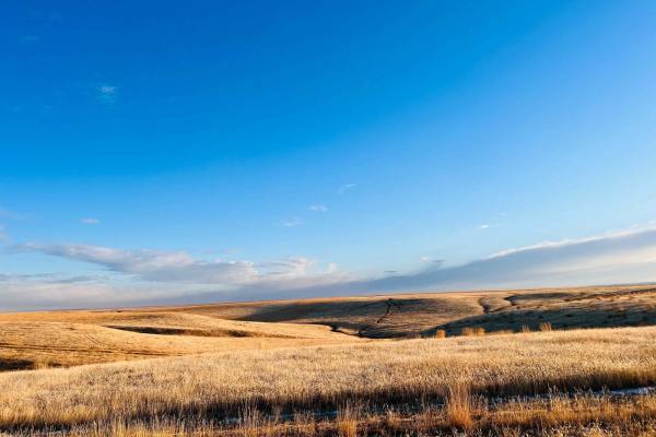
Wickahoney Stage Stop from Bruneau is an inviting 34.6-mile point-to-point offroad route that offers a perfect blend of historic exploration and desert cruising for four-wheel-drive vehicles, SxSs, and dirt bikes. Starting near the town of Bruneau, Idaho, the trail climbs from an elevation of 2,585 feet up to 5,185 feet as it travels south across the scenic Owyhee high desert. The trail's technical rating of 3 indicates a relatively easy journey, but drivers should remain alert for sections of loose rock, moderately deep ruts, and small washes that can shift with seasonal weather. Whether unloading at the staging area just west of Highway 51 or driving directly from Bruneau, this route serves up stunning vistas of the surrounding volcanic plains and rugged buttes.
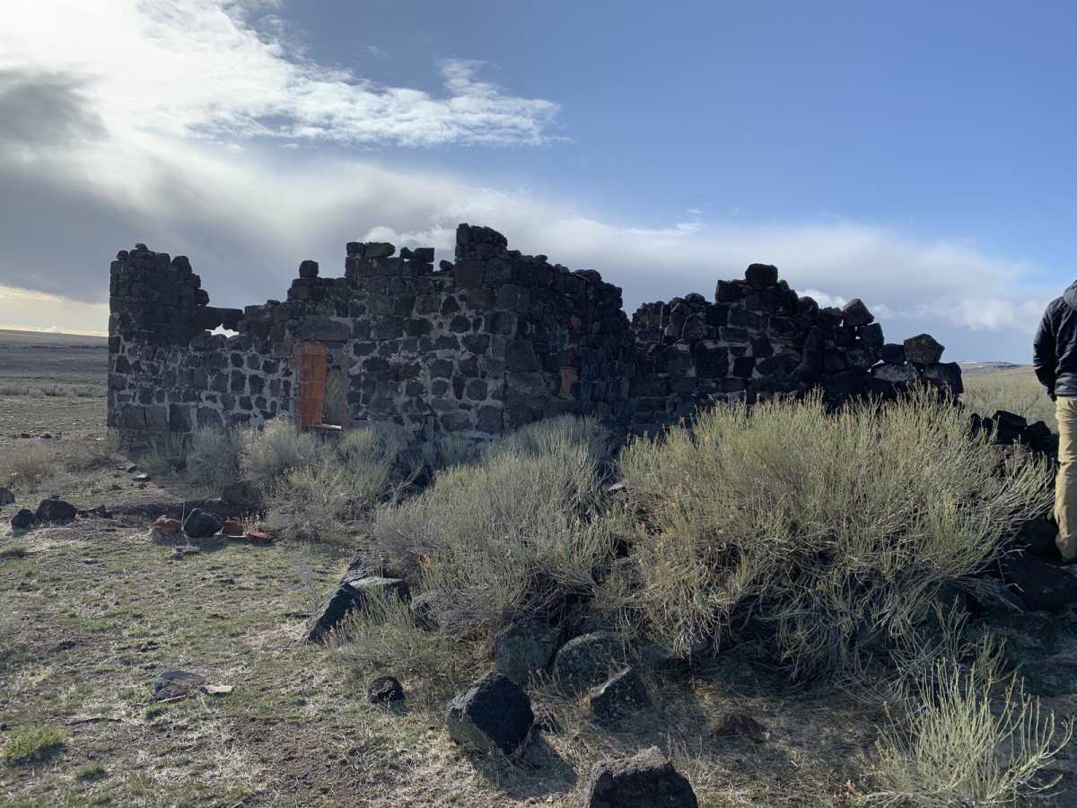
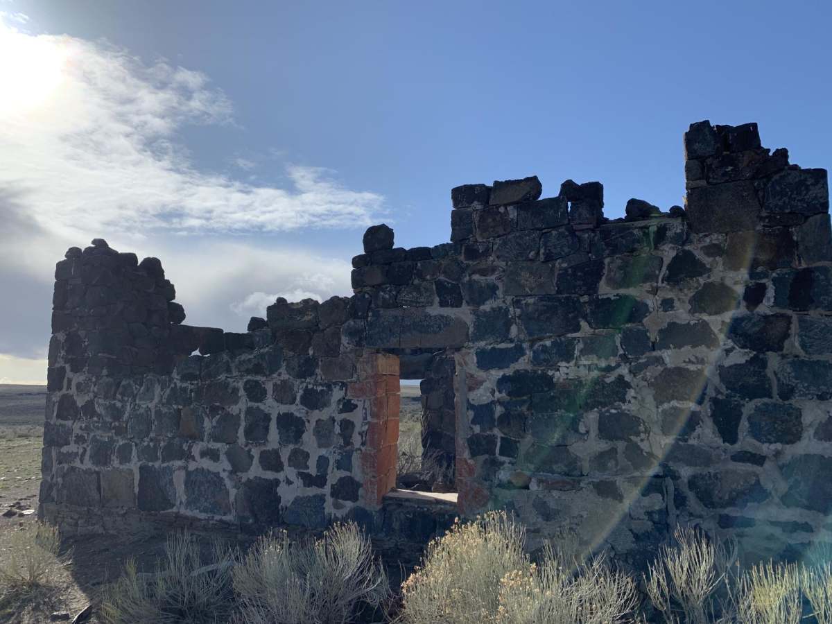
The crown jewel of this journey is the historic Wickahoney Stage Stop, a remarkably preserved basalt rock structure built in 1898 that once served as a post office and crucial stagecoach station on the route to the Duck Valley Indian Reservation. Visitors can park and stretch their legs while exploring the main stone building and the remnants of surrounding outbuildings, making it an ideal spot for a lunch break or photography. High-clearance vehicles are highly recommended, and visiting during the spring or fall provides the most comfortable weather, avoiding the extreme summer desert heat and muddy winter trails. As a piece of Idaho's frontier history, the site must be treated with respect by staying on designated trails, avoiding climbing on the fragile stone walls, and packing out all trash.
History
The Wickahoney Stage Station was built in 1898 by Albert S. Black and served as a post office and a stagecoach stop on the historic route between Bruneau and Elko, Nevada, or the Duck Valley Indian Reservation. Constructed of local hand-hewn basalt blocks, the station provided refuge, water, and supplies to travelers in the arid Owyhee desert. It was officially added to the National Register of Historic Places in 1982.
Access Description
The route crosses Bureau of Land Management (BLM) public lands and private property boundaries. Visitors must respect all posted signs, stay on designated roads, and avoid damaging any historic structures. There are no fees or permits required to access the area, but the route can become impassable when wet, and seasonal closures or travel restrictions may apply depending on fire danger or muddy conditions.