Red Warrior - Warfield Connector
Total Miles
1.3
Technical Rating
Best Time
Fall, Summer, Spring
Trail Type
Single Track
Accessible By
Trail Overview
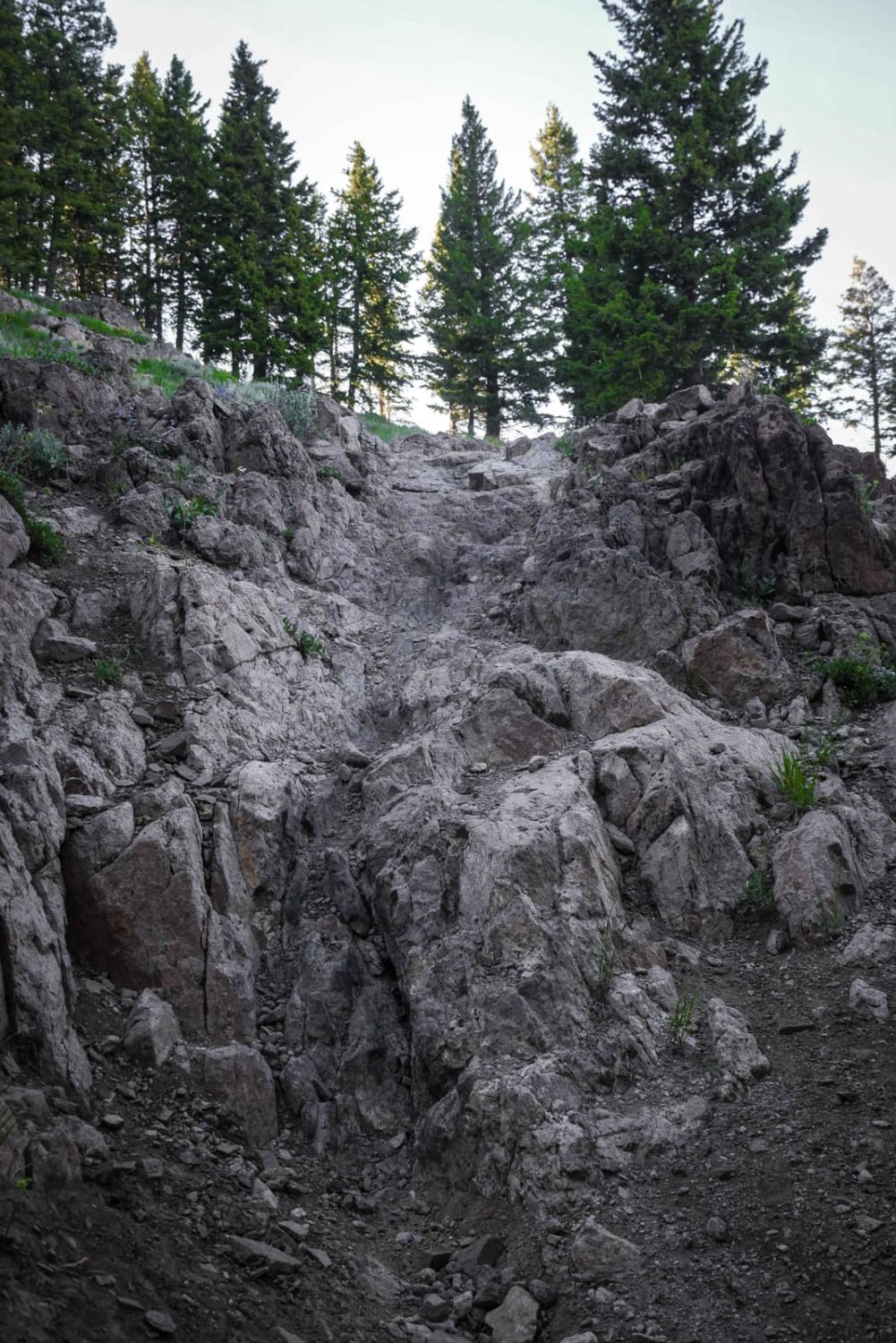
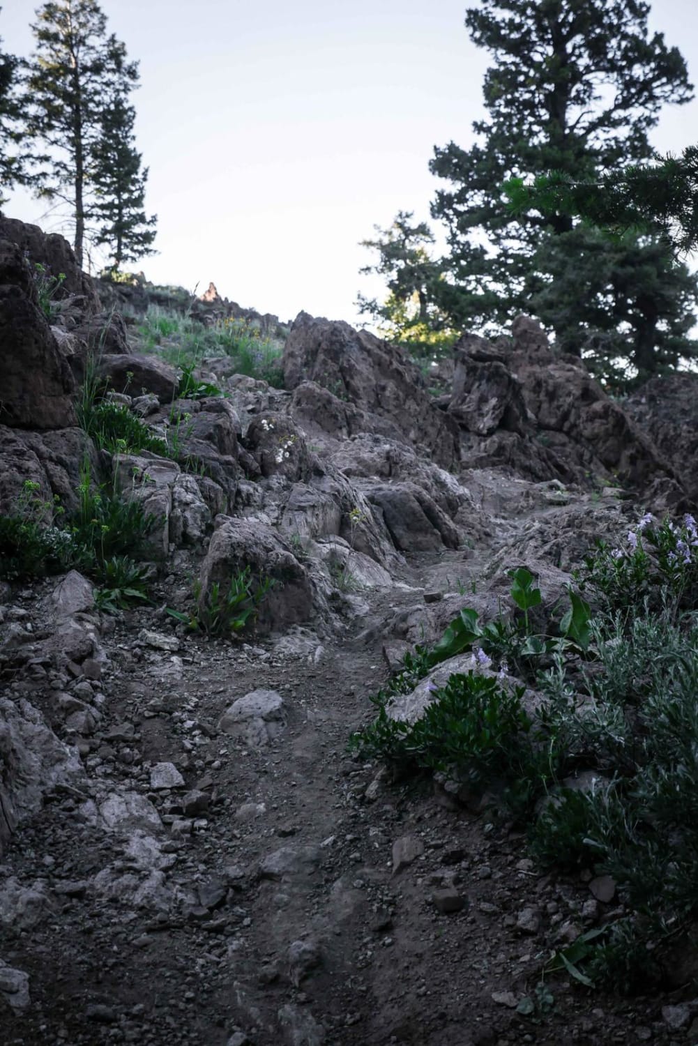
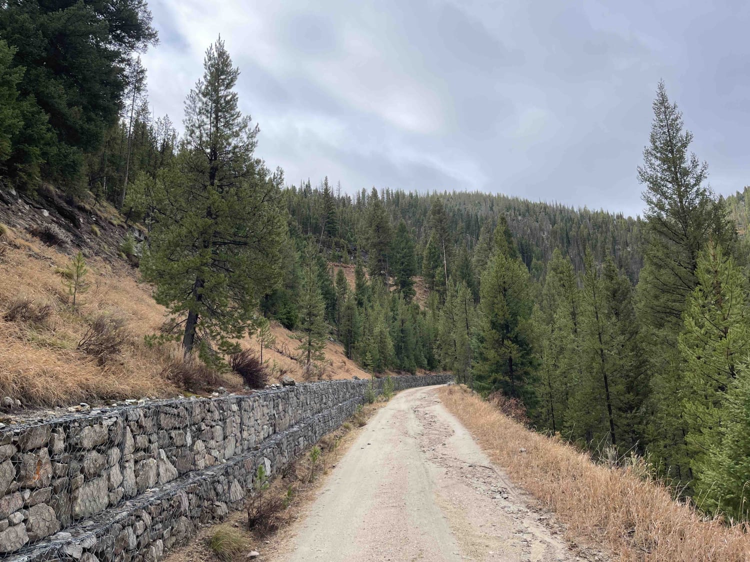
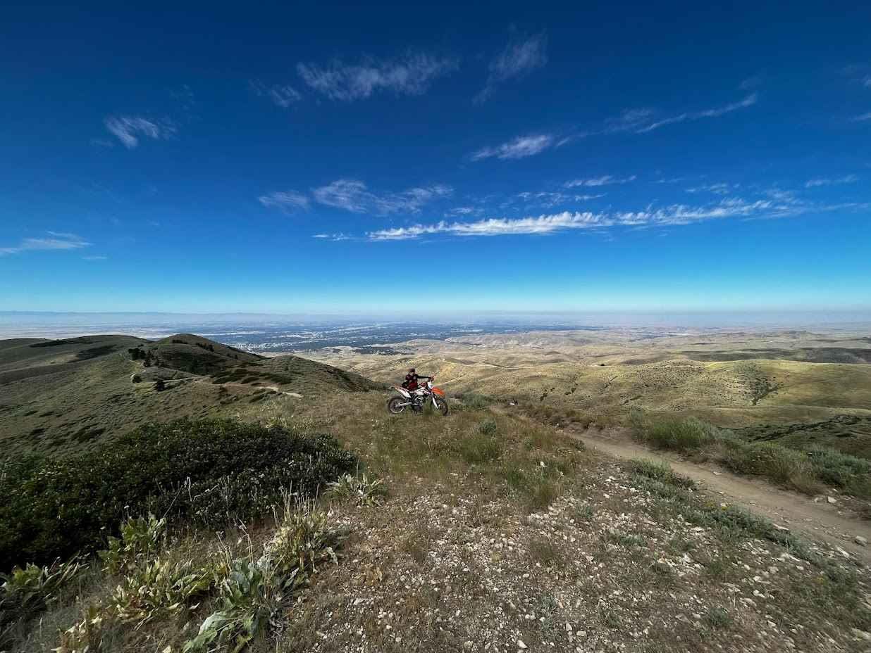
This is a shortcut with a rocky challenge. Most of this short trail meanders through a forest on wide open hillsides and ridge lines with expansive views of the mountain range, but there is one major rock obstacle that makes this shortcut more challenging. There is a long rocky ledge feature with stair steps and some loose dirt on the surface. There is an easier line to choose from that avoids most of the stair steps, but still has some rock and loose dirt. This feature makes it an intermediate/advanced trail. You will be going up the rock feature if riding east to west, and down it if riding west to east. This rock feature is unique for the area as many of the surrounding trails are smooth, fast, and flowy without any major obstacles. This connector goes between the Red Warrior and the Warfield - South Fork trails, which are two of the harder and longer dirt bike trails in the area.
Photos of Red Warrior - Warfield Connector
Difficulty
One rock ledge feature makes this trail a more challenging intermediate trail, but there is an alternate line that can avoid the obstacle.
Status Reports
Red Warrior - Warfield Connector can be accessed by the following ride types:
- Dirt Bike
Red Warrior - Warfield Connector Map
Popular Trails

Goodheart Springs Alt #3566A
Stanley Creek
8th Street Motorcycle Trail
The onX Offroad Difference
onX Offroad combines trail photos, descriptions, difficulty ratings, width restrictions, seasonality, and more in a user-friendly interface. Available on all devices, with offline access and full compatibility with CarPlay and Android Auto. Discover what you’re missing today!
