Moon Pass Road (Part 2)
Total Miles
8.4
Technical Rating
Best Time
Spring, Summer, Fall
Trail Type
Full-Width Road
Accessible By
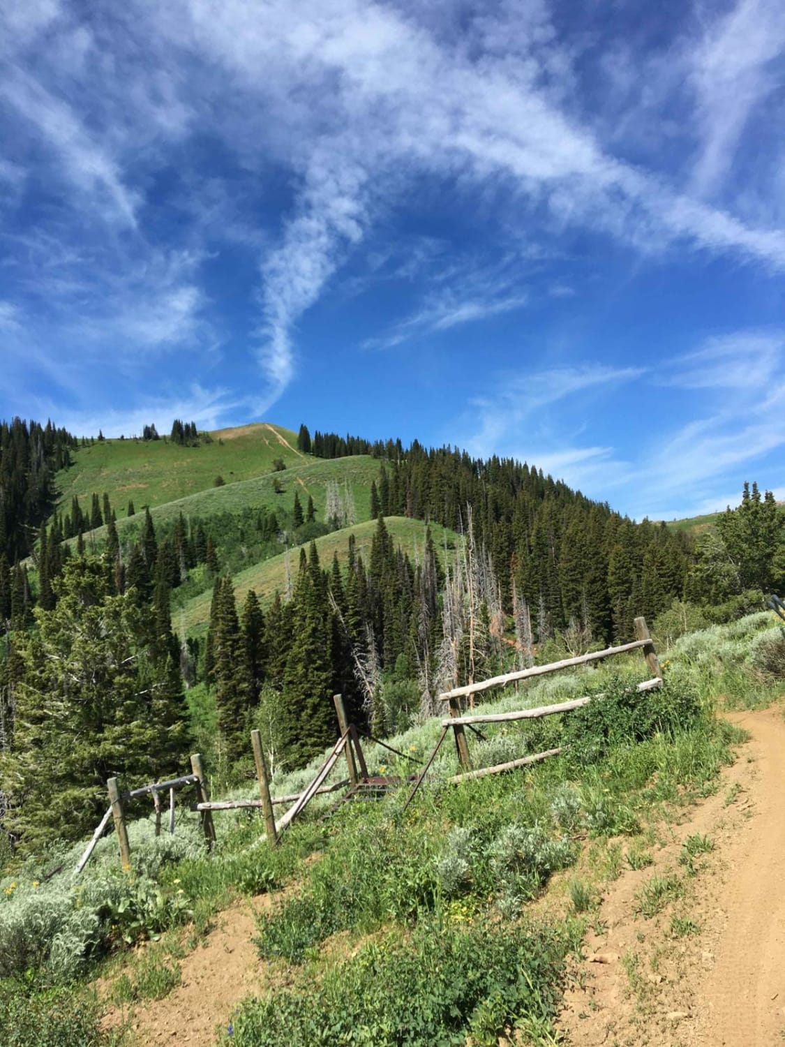
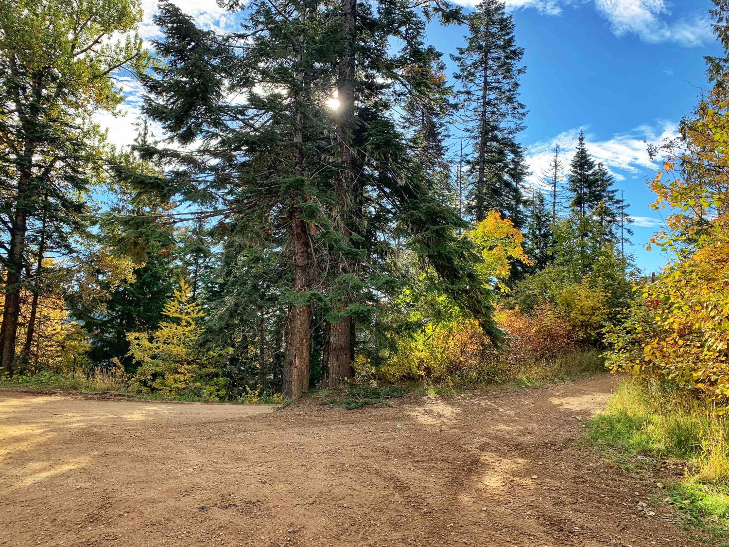
Trail Overview
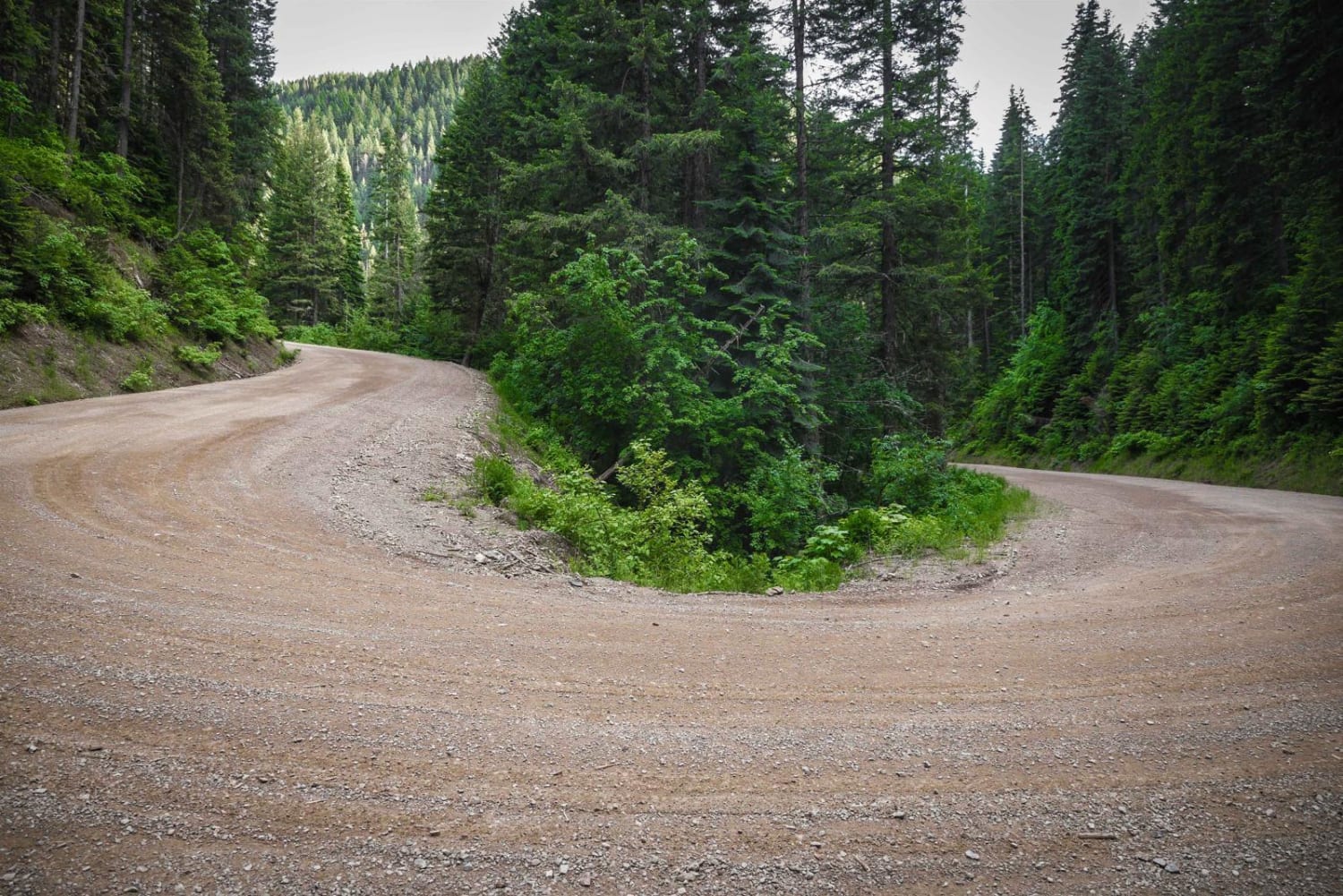
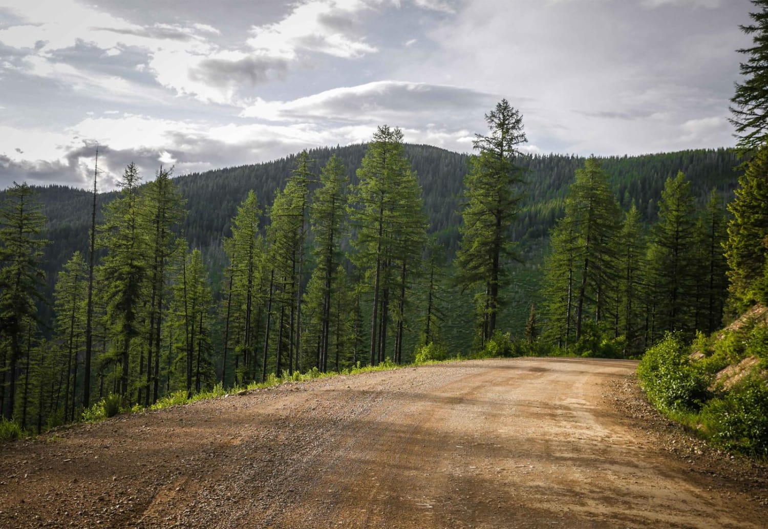
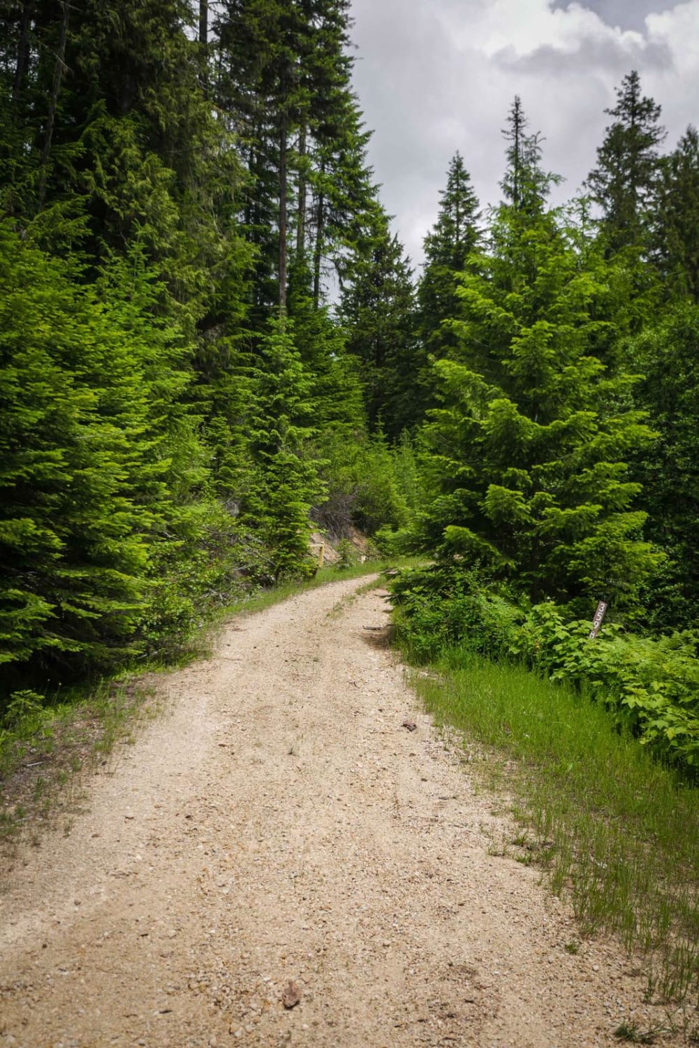
This is the northern piece of Moon Pass that goes from the town of Wallace, Idaho, to the Moon Pass Summit. It starts as a paved road from the town of Wallace for a couple of miles and goes past the Pulaski Historic Site, which is where a group of firefighters escaped into a mine during the 1910 fires in this area. There's a pit toilet at this site. The road turns into a wide graded and oiled dirt road for the rest of the way. It has steep sections and switchbacks on a shelf road, but has very wide corners, and could probably be driven in almost any vehicle. (The second half of Moon Pass going towards Avery has some tighter switchbacks that can still probably be driven in any size vehicle if you take the corners wide). It goes through a really beautiful forest along a creek, with healthy trees and spectacular views of the St. Joe National Forest. This section of Moon Pass ends at the intersection with Slate Creek at the summit. The entirety of Moon Pass is a very scenic drive through an old train route with single-lane tunnels and trestles. The tunnels were built for a train so are extremely tall, narrow, and dark, and make for a really unique driving experience. There isn't much camping on the northern half of Moon Pass, but there are a few spots about halfway through and closer to Avery.
Photos of Moon Pass Road (Part 2)
Difficulty
This is a graded dirt road probably suitable for any vehicle.
Status Reports
Moon Pass Road (Part 2) can be accessed by the following ride types:
- High-Clearance 4x4
- SUV
- SxS (60")
- ATV (50")
- Dirt Bike
Moon Pass Road (Part 2) Map
Popular Trails
Appendicitis Hill WSA Spur #7
Hill 36 OHV - 3598
Big Hole Crest
Hayden Lake Divide
The onX Offroad Difference
onX Offroad combines trail photos, descriptions, difficulty ratings, width restrictions, seasonality, and more in a user-friendly interface. Available on all devices, with offline access and full compatibility with CarPlay and Android Auto. Discover what you’re missing today!